Graham's Folly
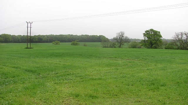
Wood, Forest in Fife
Scotland
Graham's Folly
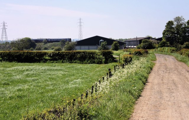
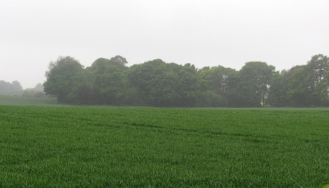
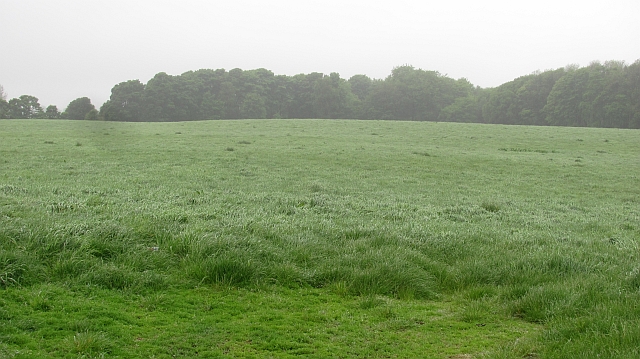
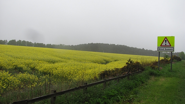
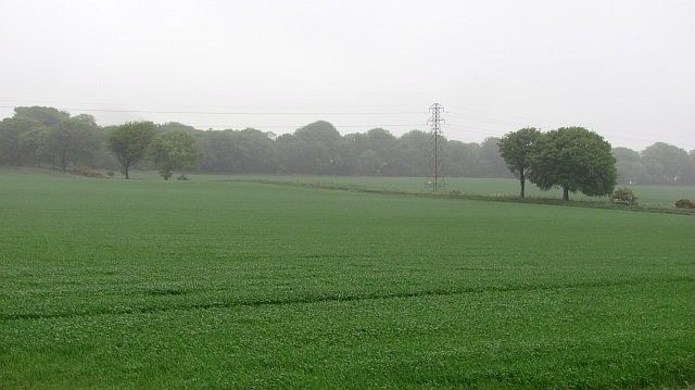
Graham's Folly, located in Fife, Scotland, is a remarkable wood or forest that holds a place of intrigue and historical significance. Spanning approximately 50 acres, this woodland is named after Sir Robert Graham, a prominent figure in Scottish history.
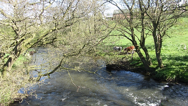
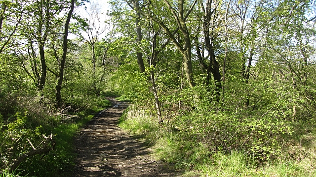
Graham's Folly is renowned for its diverse range of flora and fauna, making it a haven for nature enthusiasts and researchers alike. The woodland is home to an array of native tree species, including oak, birch, beech, and pine, creating a lush and vibrant ecosystem. The forest floor is adorned with an assortment of wildflowers, adding a burst of color during the spring and summer months.
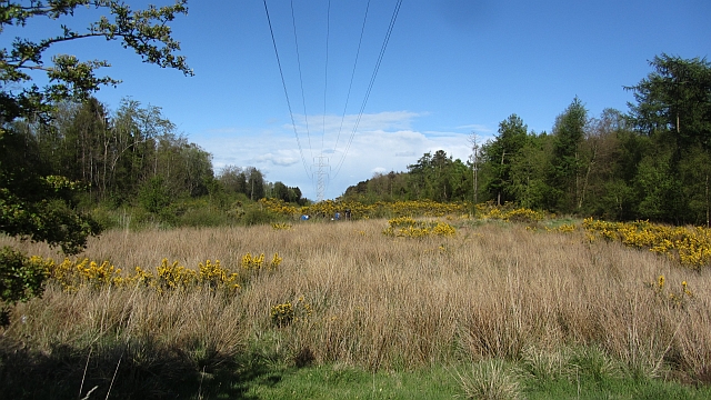
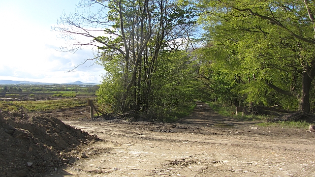
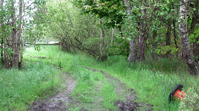
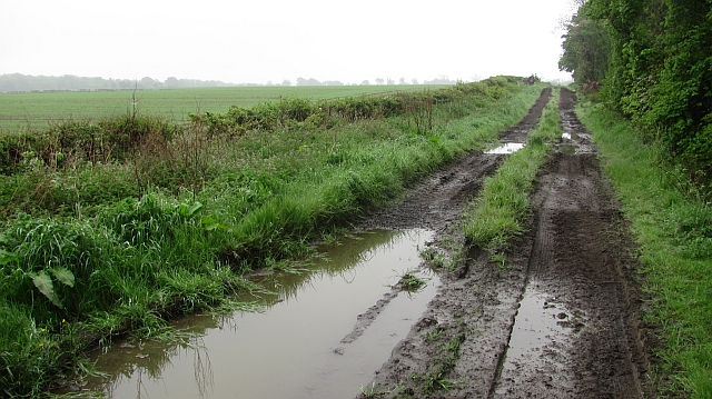
A notable feature of Graham's Folly is its network of walking trails, meticulously maintained to provide visitors with an opportunity to explore the woodlands at their leisure. These trails wind through the forest, offering breathtaking views of the surrounding landscape and providing a tranquil escape from the hustle and bustle of everyday life.
In addition to its natural beauty, Graham's Folly holds historical significance. The woodland is said to have been a gathering place for ancient Scottish clans, who utilized the forest for various activities, from hunting to religious ceremonies. Archaeological evidence, including stone circles and burial mounds, suggests a rich history dating back thousands of years.
Today, Graham's Folly continues to captivate visitors with its combination of natural splendor and historical intrigue. Whether one seeks a peaceful walk amidst nature, a glimpse into Scotland's past, or simply a place to appreciate the beauty of the woodlands, Graham's Folly offers an unforgettable experience for all who venture within its boundaries.
If you have any feedback on the listing, please let us know in the comments section below.
Graham's Folly Images
Images are sourced within 2km of 56.160981/-3.1054255 or Grid Reference NT3197. Thanks to Geograph Open Source API. All images are credited.

Graham's Folly is located at Grid Ref: NT3197 (Lat: 56.160981, Lng: -3.1054255)
Unitary Authority: Fife
Police Authority: Fife
What 3 Words
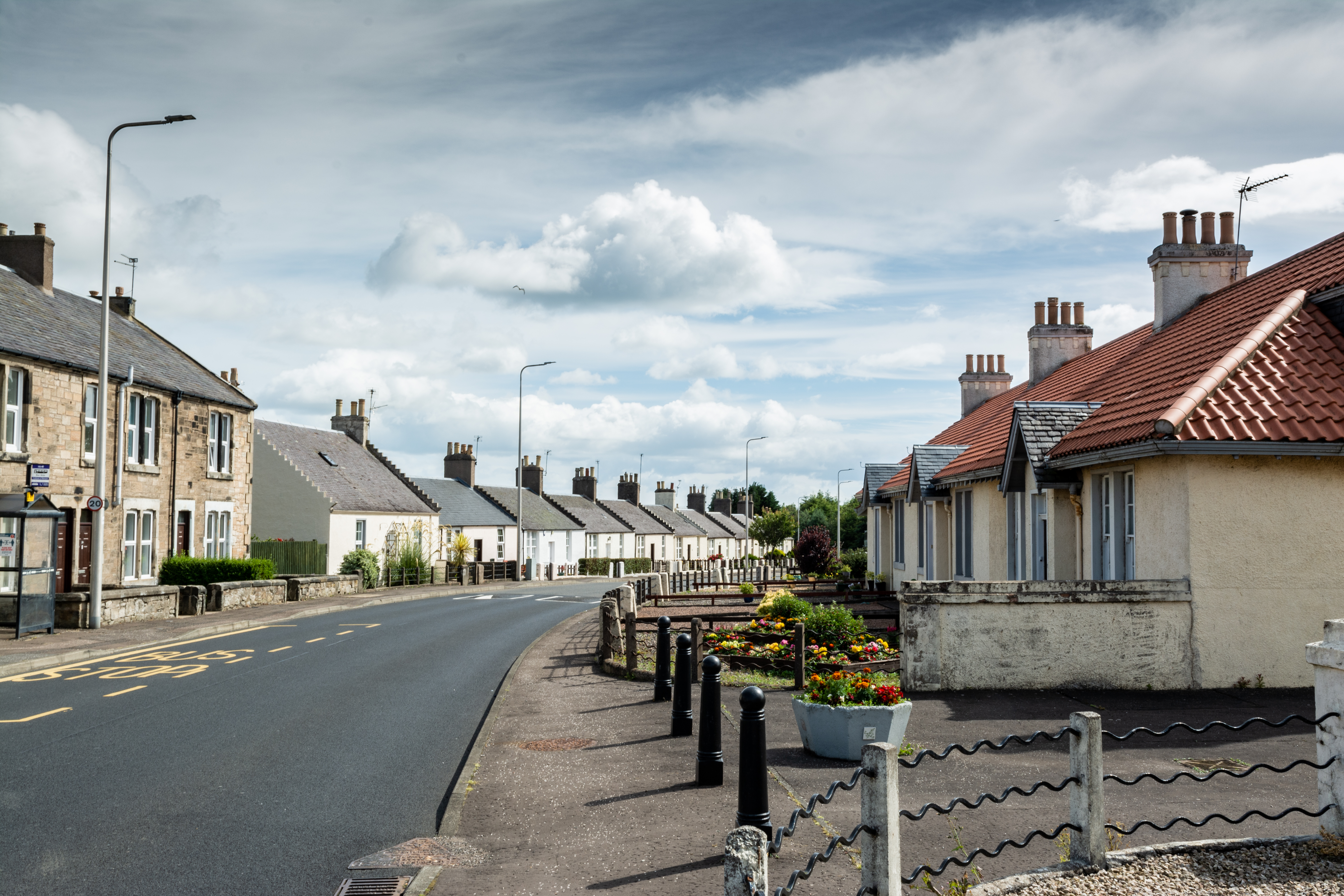
///argue.awesome.thrilled. Near East Wemyss, Fife
Nearby Locations
Related Wikis

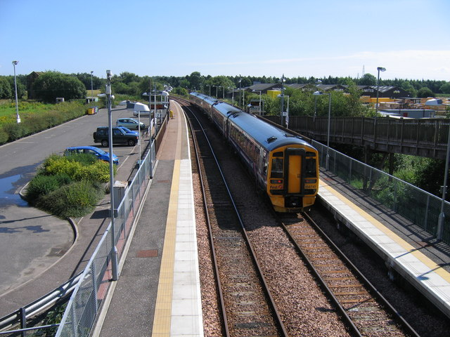
West Wemyss railway station
West Wemyss railway station served the village of West Wemyss , Fife, Scotland, from 1881 to 1949 on the Wemyss and Buckhaven Railway. == History == The...
Coaltown of Wemyss
Coaltown of Wemyss () is a village in south-east Fife, Scotland, around 5 km north of Kirkcaldy. The town was built in the 1890s as an estate village on...
Alfred Dunhill Links Championship
The Alfred Dunhill Links Championship is one of the richest golf tournaments on the European Tour. It is played in September, on three different links...

Thornton Junction railway station
Thornton Junction railway station served the village of Thornton, Fife, Scotland from 1847 to 1969 on the Fife Coast Railway. == History == The station...
Thornton Stadium
Thornton Stadium is a greyhound racing track in Thornton, Kirkcaldy, Fife, Scotland. The track is the last remaining independent track and is therefore...

Wemyss, Fife
Wemyss ( WEEMZ) is a civil parish on the south coast of Fife, Scotland, lying on the Firth of Forth. It is bounded on the north-east by the parish of...
Glenrothes with Thornton railway station
Glenrothes with Thornton railway station serves the communities of Glenrothes and Thornton in Fife, Scotland. The station is managed by ScotRail and is...
Kirkcaldy (district)
Kirkcaldy (Scottish Gaelic: Dùn Phàrlain, Scots: Dunfaurlin) was a local government district in the Fife region of Scotland from 1975 to 1996. The district...
Nearby Amenities
Located within 500m of 56.160981,-3.1054255Have you been to Graham's Folly?
Leave your review of Graham's Folly below (or comments, questions and feedback).