Goldieslea Wood

Wood, Forest in Dumfriesshire

Scotland

Goldieslea Wood

Track down to the River Sark The river is just visible between the trees and forms the boundary between Scotland and England.
Track down to the River Sark Credit: Jonathan Thacker

Goldieslea Wood is a picturesque forest located in Dumfriesshire, Scotland. Covering an area of approximately 150 acres, this woodland offers visitors a tranquil and serene environment to explore and enjoy nature at its finest.

The woodland is primarily composed of native broadleaf trees such as oak, ash, birch, and beech, creating a diverse and vibrant ecosystem. The dense canopy provides shade and shelter for an array of wildlife species, including birds, squirrels, deer, and various insects.

Walking through Goldieslea Wood, visitors can follow well-maintained trails that wind their way through the forest, offering breathtaking views and opportunities for wildlife spotting. The peaceful atmosphere and the sounds of birdsong make it a haven for nature lovers and a perfect spot for a leisurely stroll or a picnic.

The woodland is also home to a small stream that meanders through the trees, adding to the charm and beauty of the area. The babbling sound of the water adds a soothing element to the ambiance, creating a relaxing and calming experience for those who visit.

Goldieslea Wood is easily accessible, with designated parking areas and well-marked paths. The forest is open to the public year-round, allowing visitors to enjoy the changing seasons and the vibrant display of colors that come with them.

Whether you are a nature enthusiast, a photographer, or simply seeking a peaceful retreat from the hustle and bustle of everyday life, Goldieslea Wood offers a natural sanctuary that is sure to leave a lasting impression.

If you have any feedback on the listing, please let us know in the comments section below.

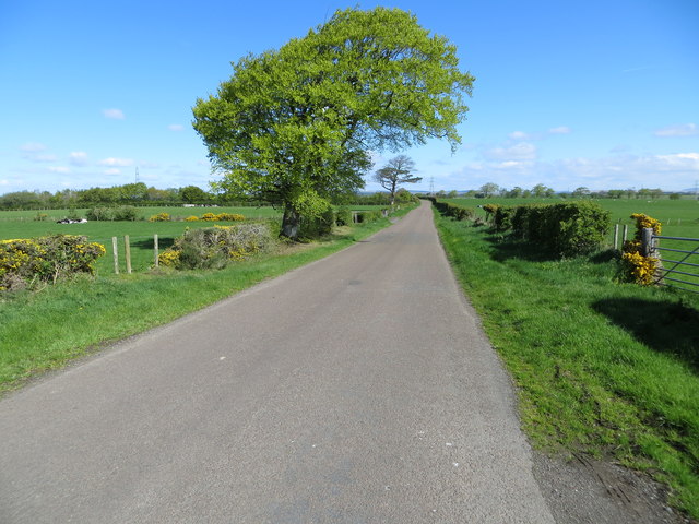
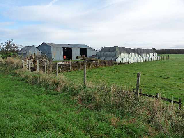
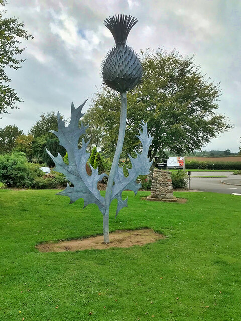
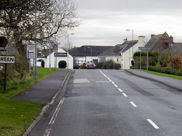
Goldieslea Wood Images

Images are sourced within 2km of 55.022828/-3.0662762 or Grid Reference NY3170. Thanks to Geograph Open Source API. All images are credited.

Track down to the River Sark The river is just visible between the trees and forms the boundary between Scotland and England.
Track down to the River Sark
The river is just visible between the trees and forms the boundary between Scotland and England.
Track near Westgillsyke
Rough grazing by the River Sark
Approaching Stubbyknowe Bar
Hedge and fence-lined road near to Beechwood Looking northward.
Hedge and fence-lined road near to Beechwood
Looking northward.
Road approaching Stubbyknowe Bar Looking north-eastward.
Road approaching Stubbyknowe Bar
Looking north-eastward.
Hedge-lined road to Stubbykowe Bar at Milliganbushfield Looking westward.
Hedge-lined road to Stubbykowe Bar at Milliganbushfield
Looking westward.
Hedge-lined minor road at Westgillsyke Looking north-eastward.
Hedge-lined minor road at Westgillsyke
Looking north-eastward.
Ordnance Survey Cut Mark This mark can be found on the roadside wall of a cottage at Stubbykowe Bar. The benchmark's recorded height is 55.523 metres above sea level.
For more detail see : <span class="nowrap"><a title="https://www.bench-marks.org.uk/bm108542" rel="nofollow ugc noopener" href="https://www.bench-marks.org.uk/bm108542">Link</a><img style="margin-left:2px;" alt="External link" title="External link - shift click to open in new window" src="https://s1.geograph.org.uk/img/external.png" width="10" height="10"/></span>
Ordnance Survey Cut Mark
This mark can be found on the roadside wall of a cottage at Stubbykowe Bar. The benchmark's recorded height is 55.523 metres above sea level. For more detail see : LinkExternal link
Former tollhouse Surveyed by the Milestone Society.  On the minor road northwards from Gretna to Chapelknowe on the B6357.  This end cottage is 1 Stubbyknowe Bar Cottage.  Presumably there was a tollbar at this junction.
Former tollhouse
Surveyed by the Milestone Society. On the minor road northwards from Gretna to Chapelknowe on the B6357. This end cottage is 1 Stubbyknowe Bar Cottage. Presumably there was a tollbar at this junction.
Barn and silage bales near Beechwood
Driveway to Nellfield
Stubby Knowe Cottages
Milligansbushfield Isolated farm to the north of Gretna Green.
Milligansbushfield
Isolated farm to the north of Gretna Green.
Road at Nelfield This is the 'map' name. The house sign is for Nellsfiled. Looking south-west.
Road at Nelfield
This is the 'map' name. The house sign is for Nellsfiled. Looking south-west.
Sculpture in the Gretna Green Blacksmith's Shop complex
Famous Blacksmiths' Shop The old blacksmith's shop where runaway couples from across the border (to the south!) would come to be married.
Famous Blacksmiths' Shop
The old blacksmith's shop where runaway couples from across the border (to the south!) would come to be married.
Large Thistle at Gretna Green The national emblem of Scotland, just inside the border at Gretna Green.
Large Thistle at Gretna Green
The national emblem of Scotland, just inside the border at Gretna Green.
Show me another place!

Goldieslea Wood is located at Grid Ref: NY3170 (Lat: 55.022828, Lng: -3.0662762)

Unitary Authority: Dumfries and Galloway

Police Authority: Dumfries and Galloway

What 3 Words

///prune.awoken.represent. Near Gretna, Dumfries & Galloway

Nearby Locations

Goldieslea Wood

Related Wikis

Quintinshill rail disaster

The Quintinshill rail disaster was a multi-train rail crash which occurred on 22 May 1915 outside the Quintinshill signal box near Gretna Green in Dumfriesshire...

Gretna Green services

Gretna Green services is a motorway service station near the village of Gretna Green, Scotland and the town of Gretna. The service station is located next...

Gretna Green

Gretna Green is a parish in the southern council area of Dumfries and Galloway, Scotland, on the Scottish side of the border between Scotland and England...

Gretna Green railway station

Gretna Green is a railway station on the Glasgow South Western Line, which runs between Carlisle and Glasgow Central via Kilmarnock. The station, situated...

Nearby Amenities

Located within 500m of 55.022828,-3.0662762
Aitchisonbank
Place: hamlet
Lat/Long: 55.0228258/-3.0591718
Power: pole
Lat/Long: 55.0265549/-3.0705619
Power: pole
Lat/Long: 55.0259761/-3.0705181
Power: pole
Lat/Long: 55.0253014/-3.0705001
Power: pole
Lat/Long: 55.0245069/-3.070464
Power: pole
Lat/Long: 55.0237199/-3.0704176
Power: pole
Lat/Long: 55.0229166/-3.0703738
Power: pole
Lat/Long: 55.0222049/-3.0703455
Power: pole
Lat/Long: 55.0214798/-3.0703094
Power: pole
Lat/Long: 55.0207532/-3.0702734
Power: pole
Lat/Long: 55.019975/-3.0702412
Power: pole
Lat/Long: 55.0193828/-3.0702167
Power: pole
Lat/Long: 55.0198288/-3.0710307
Power: pole
Lat/Long: 55.0202881/-3.0690395
Power: pole
Lat/Long: 55.0206617/-3.0676717
Power: pole
Lat/Long: 55.0209836/-3.0664661
Power: pole
Lat/Long: 55.0213454/-3.0651215
Power: pole
Lat/Long: 55.0217559/-3.0635991
Power: pole
Lat/Long: 55.0219538/-3.0628417
Power: pole
Lat/Long: 55.0222905/-3.0616001
Power: pole
Lat/Long: 55.0226021/-3.0604744
The data included in this document is from www.openstreetmap.org. The data is made available under ODbL.

Have you been to Goldieslea Wood?

Leave your review of Goldieslea Wood below (or comments, questions and feedback).