Brae of Tamnaughty
Wood, Forest in Banffshire
Scotland
Brae of Tamnaughty
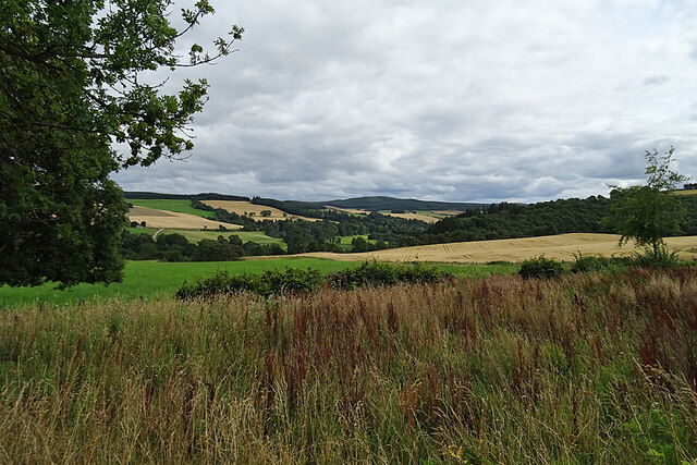
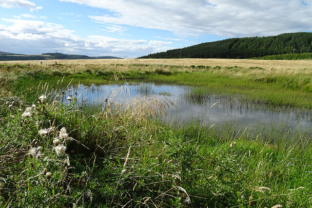
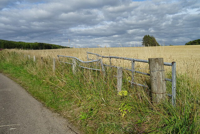
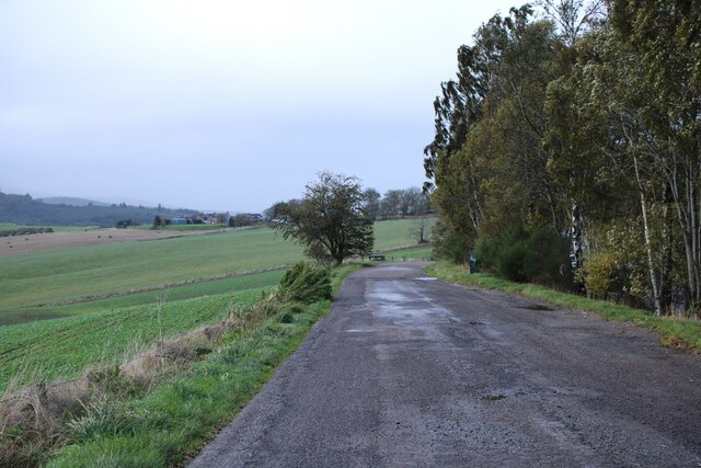
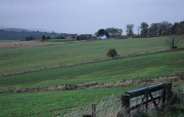
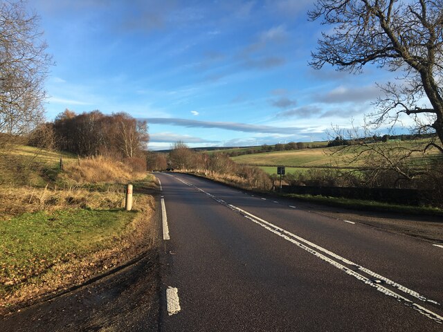
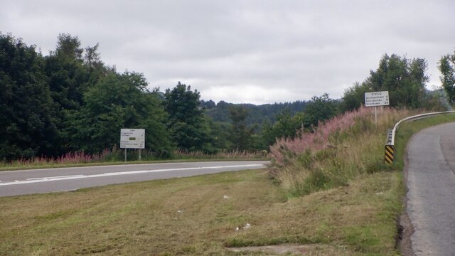
Brae of Tamnaughty is a picturesque woodland located in the region of Banffshire, Scotland. Situated in the northeastern part of the country, this forested area covers a significant expanse of land, offering a serene and natural environment for visitors to explore.
The wood is known for its diverse range of tree species, including oak, birch, and pine, creating a rich and vibrant canopy. These tall trees provide shelter and habitat for various wildlife species, making it an ideal location for nature enthusiasts and birdwatchers.
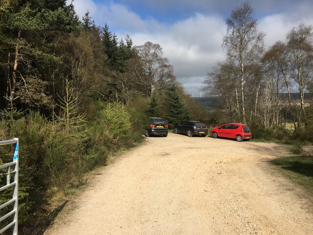
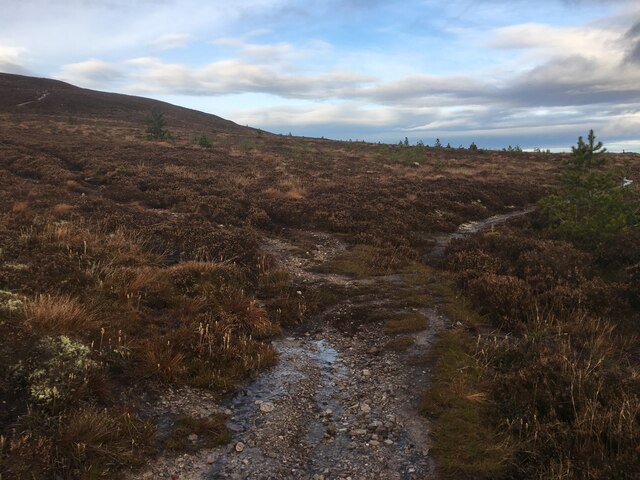
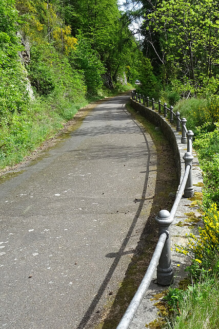
Traversing through the Brae of Tamnaughty, visitors can expect to encounter a network of well-maintained walking trails, allowing them to immerse themselves in the tranquil surroundings. The paths wind their way through the forest, offering glimpses of small streams, moss-covered rocks, and occasional clearings where sunlight peeks through the dense foliage.
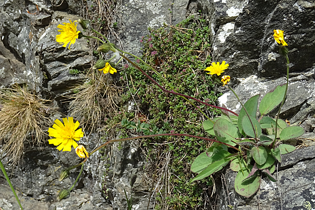
The wood is also home to a wide variety of flora, with wildflowers and ferns carpeting the forest floor during the spring and summer months. This creates a vibrant burst of colors, enhancing the overall beauty of the woodland.
For those seeking a peaceful retreat or a place to reconnect with nature, Brae of Tamnaughty is an ideal destination. Whether it's a leisurely stroll, a picnic amid nature, or simply a moment of solitude, this forested area offers a rejuvenating experience for visitors of all ages.
If you have any feedback on the listing, please let us know in the comments section below.
Brae of Tamnaughty Images
Images are sourced within 2km of 57.502612/-3.1737381 or Grid Reference NJ2946. Thanks to Geograph Open Source API. All images are credited.
Brae of Tamnaughty is located at Grid Ref: NJ2946 (Lat: 57.502612, Lng: -3.1737381)
Unitary Authority: Moray
Police Authority: North East
What 3 Words
///spearing.bought.stylist. Near Rothes, Moray
Nearby Locations
Related Wikis

Arndilly House
Arndilly House is a 1770 house in Banffshire, Scotland, in the parish of Boharm. It lies between the River Spey and Ben Aigan. It was remodelled in both...

Arndilly
Arndilly is a place and former parish in Moray, Scotland. The parish was united with the parish of Boharm in 1618. The name was previously Ardintullie...

Dandaleith railway station
Dandaleith railway station served the village of Craigellachie, Moray, Scotland from 1858 to 1965 on the Morayshire Railway. == History == The station...
Craigellachie railway station
Craigellachie railway station served the village of Craigellachie, Moray, Scotland from 1863 to 1968 on the Morayshire Railway and the Strathspey Railway...

Craigellachie, Moray
Craigellachie (Scottish Gaelic: Creag Eileachaidh) is a small village in Moray, Scotland, at the confluence of the River Spey and River Fiddich (whose...
Dandaleith stone
The Dandaleith stone is a Class I Pictish stone from Craigellachie, Scotland. It was discovered in May 2013 during ploughing. == Location == The exact...

Craigellachie distillery
Craigellachie distillery is a single malt Scotch whisky distillery in the village of Craigellachie at the centre of the Speyside whisky producing area...

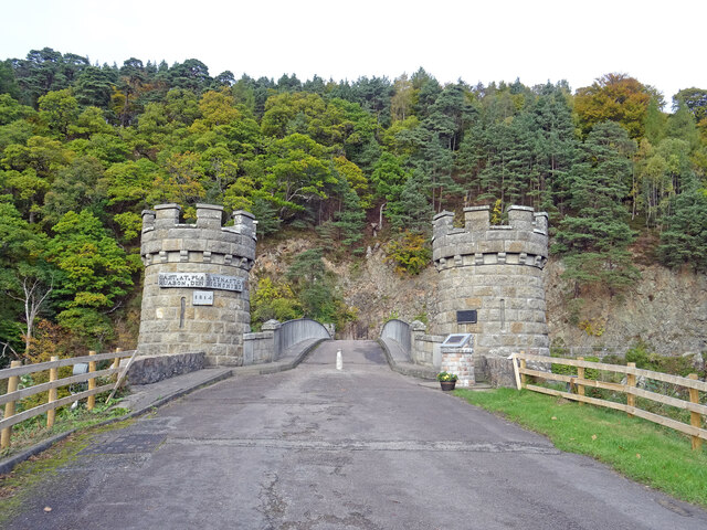
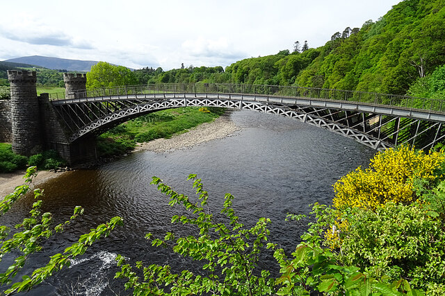
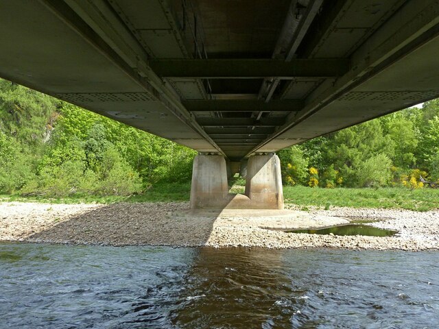
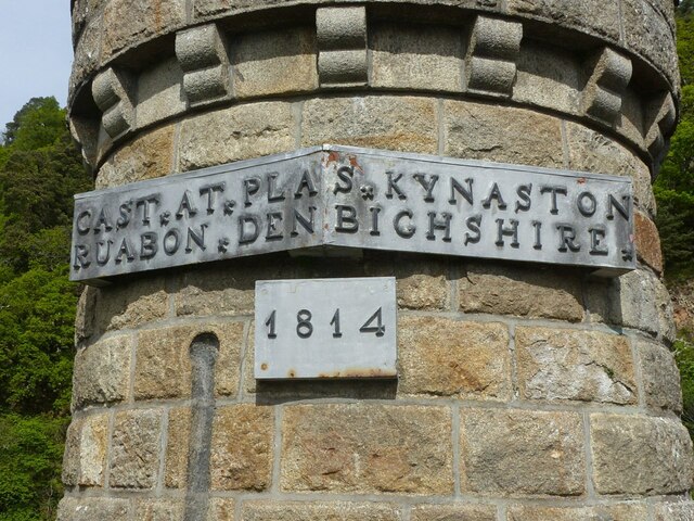
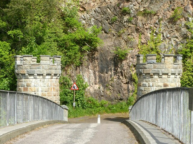
Craigellachie Bridge
Craigellachie Bridge is a cast iron arch bridge across the River Spey at Craigellachie, near to the village of Aberlour in Moray, Scotland. It was designed...
Nearby Amenities
Located within 500m of 57.502612,-3.1737381Have you been to Brae of Tamnaughty?
Leave your review of Brae of Tamnaughty below (or comments, questions and feedback).