The Piles

Lake, Pool, Pond, Freshwater Marsh in Banffshire

Scotland

The Piles

New Pond This is shown on some of the maps as a boggy area fed by Meg Proctor's Well to the north-east. The owners have dug it out to form two ponds with the intention of attracting wildlife.
New Pond Credit: Anne Burgess

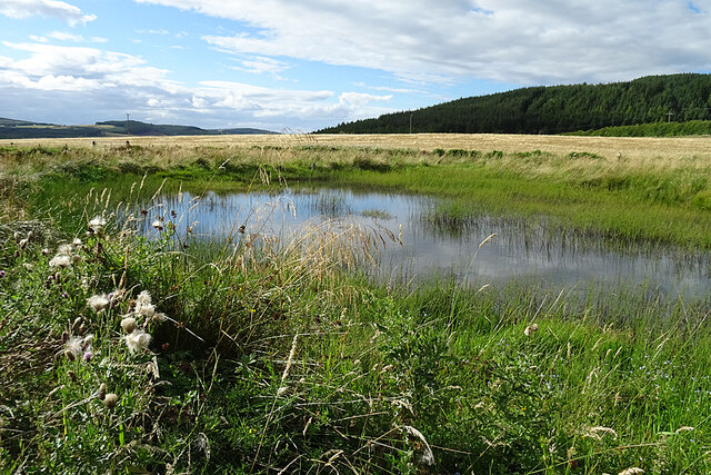
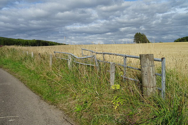
The Piles, located in Banffshire, is a natural freshwater wetland area encompassing a lake, pool, pond, and a freshwater marsh. Spanning over a considerable expanse, this diverse ecosystem is teeming with various flora and fauna species, making it a haven for nature enthusiasts and wildlife admirers.

The lake at The Piles is a tranquil water body, surrounded by lush greenery and tall reeds. Its crystal-clear waters are home to an array of aquatic plants, such as water lilies and duckweed, providing a vibrant habitat for numerous water-dwelling species. Visitors can often spot ducks, swans, and other waterfowl gracefully gliding across the lake's surface.

Adjacent to the lake lies a pool, a smaller water body characterized by its shallow depth. It serves as a breeding ground for amphibians like frogs and toads, which can be observed during the mating season. The pool also attracts dragonflies and damselflies, adding a touch of color and activity to the area.

Further into The Piles, a serene pond emerges. Surrounded by a mix of water-loving plants and shrubs, the pond supports a thriving community of fish, including trout and perch. Its tranquil ambiance is enhanced by the gentle chirping of birds perched on nearby branches.

Finally, the freshwater marsh completes The Piles' diverse wetland ecosystem. This marshy area is characterized by its marsh grasses, sedges, and bulrushes. It serves as a vital habitat for an array of bird species, such as herons, bitterns, and reed warblers.

Overall, The Piles in Banffshire offers a picturesque and ecologically significant destination for individuals eager to explore and appreciate the wonders of a diverse wetland ecosystem.

If you have any feedback on the listing, please let us know in the comments section below.
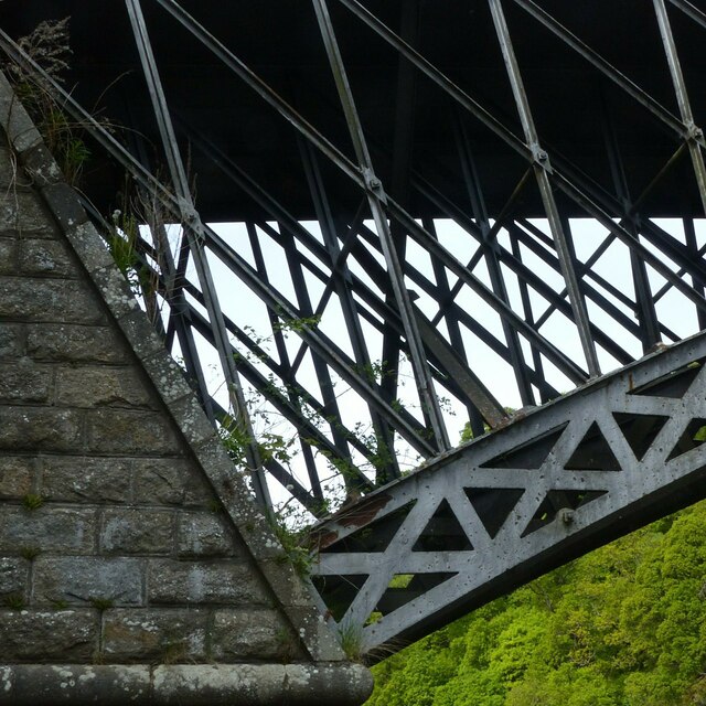
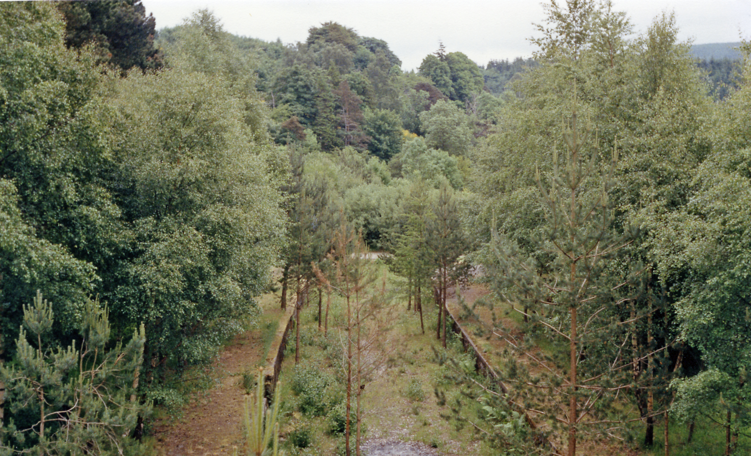
The Piles Images

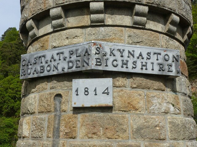
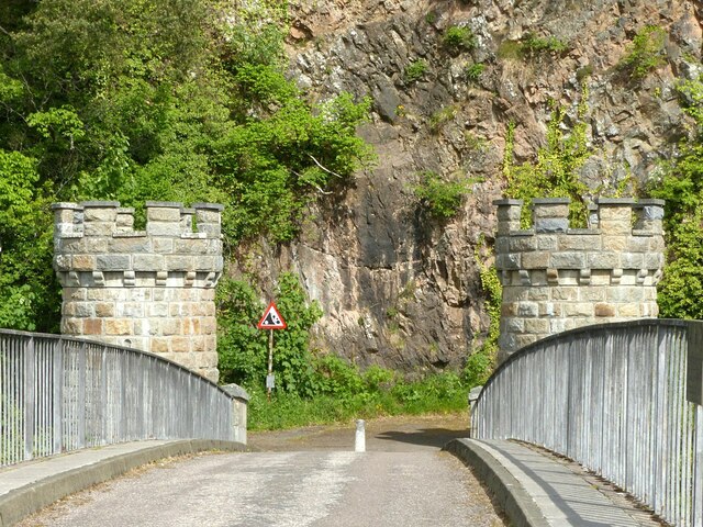
Images are sourced within 2km of 57.506812/-3.1857062 or Grid Reference NJ2946. Thanks to Geograph Open Source API. All images are credited.

New Pond This is shown on some of the maps as a boggy area fed by Meg Proctor's Well to the north-east. The owners have dug it out to form two ponds with the intention of attracting wildlife.
New Pond
This is shown on some of the maps as a boggy area fed by Meg Proctor's Well to the north-east. The owners have dug it out to form two ponds with the intention of attracting wildlife.
Field Gates It looks as if one of the gates has met with a mishap, and neither gate has been much used recently.
Field Gates
It looks as if one of the gates has met with a mishap, and neither gate has been much used recently.
B9102/A941 junction The B road climbs hard away from the Spey, soon passing the Macallan distillery.
B9102/A941 junction
The B road climbs hard away from the Spey, soon passing the Macallan distillery.
Craigellachie Bridge The southern approach to Craigellachie Bridge, designed by Thomas Telford and completed in 1814. Autumn colours are showing on the steep ground beyond.
Craigellachie Bridge
The southern approach to Craigellachie Bridge, designed by Thomas Telford and completed in 1814. Autumn colours are showing on the steep ground beyond.
Sinuous Railing The iron railing alongside the road on the left bank downstream from Craigellachie Bridge is still intact and seems to be in good condition.
Sinuous Railing
The iron railing alongside the road on the left bank downstream from Craigellachie Bridge is still intact and seems to be in good condition.
Craigellachie Bridge Designed by Thomas Telford, cast at Plas Kynaston in Wales, and erected in 1814. The bridge is a Category A listed building. See <span class="nowrap"><a title="http://portal.historicenvironment.scot/designation/LB2357" rel="nofollow ugc noopener" href="http://portal.historicenvironment.scot/designation/LB2357">Link</a><img style="margin-left:2px;" alt="External link" title="External link - shift click to open in new window" src="https://s1.geograph.org.uk/img/external.png" width="10" height="10"/></span> and note that despite what the maps say its correct name is Craigellachie Bridge.
Craigellachie Bridge
Designed by Thomas Telford, cast at Plas Kynaston in Wales, and erected in 1814. The bridge is a Category A listed building. See LinkExternal link and note that despite what the maps say its correct name is Craigellachie Bridge.
Hawk.... There is a large number of plants with dandelion-like flowers: Hawkweeds, Hawkbits and Hawksbeards. It requires greater expertise than mine to tell most of them apart.
Hawk....
There is a large number of plants with dandelion-like flowers: Hawkweeds, Hawkbits and Hawksbeards. It requires greater expertise than mine to tell most of them apart.
The 'new' Spey bridge at Craigellachie Built to replace Telford's cast iron bridge, it is itself now 50 years old.
The 'new' Spey bridge at Craigellachie
Built to replace Telford's cast iron bridge, it is itself now 50 years old.
Plaques on Telford's Bridge, Craigellachie Moved from the arch when the bridge was restored in 1964.
Plaques on Telford's Bridge, Craigellachie
Moved from the arch when the bridge was restored in 1964.
Almost nowhere to go The immediate more than 90 degree turn at the northern end of the bridge was no problem in the days of horse drawn vehicles, but very restrictive to modern vehicles.
Almost nowhere to go
The immediate more than 90 degree turn at the northern end of the bridge was no problem in the days of horse drawn vehicles, but very restrictive to modern vehicles.
Bench mark, Craigellachie Old Bridge This bench mark was used during the First Primary Levelling, Scotland (1844-60). It was included on the Fochabers to Bridge of Don line as "No. 22. Bolt in East face of round tower, at North End of Craig Ellachie Bridge ; 1.74 ft. above surface. (p300)" at 277.105 feet above Liverpool datum.

See <a title="https://www.geograph.org.uk/photo/7194598" href="https://www.geograph.org.uk/photo/7194598">Link</a> for location
Bench mark, Craigellachie Old Bridge
This bench mark was used during the First Primary Levelling, Scotland (1844-60). It was included on the Fochabers to Bridge of Don line as "No. 22. Bolt in East face of round tower, at North End of Craig Ellachie Bridge ; 1.74 ft. above surface. (p300)" at 277.105 feet above Liverpool datum. See Link for location
The old road, Craigellachie Old Bridge Difficult to imagine this as an important A road as late as 1972, particularly with the dangers from rocks falling from the cliff. At this point also the road turned immediately at more than 90 degrees onto the bridge - a difficult manoeuvre for a standard bus or lorry of the mid/late 20th century. Now simply a footpath and cycleway.
The old road, Craigellachie Old Bridge
Difficult to imagine this as an important A road as late as 1972, particularly with the dangers from rocks falling from the cliff. At this point also the road turned immediately at more than 90 degrees onto the bridge - a difficult manoeuvre for a standard bus or lorry of the mid/late 20th century. Now simply a footpath and cycleway.
View from the Old Bridge, Craigellachie Looking south west with Ben Rinnes <a href="https://www.geograph.org.uk/gridref/NJ2535">NJ2535</a> in the distance.

There is a benchmark <a title="https://www.geograph.org.uk/photo/7194588" href="https://www.geograph.org.uk/photo/7194588">Link</a> at the base of the tower.
View from the Old Bridge, Craigellachie
Looking south west with Ben Rinnes NJ2535 in the distance. There is a benchmark Link at the base of the tower.
The Old Bridge, Craigellachie Panoramic view from the north east.
The Old Bridge, Craigellachie
Panoramic view from the north east.
Car park for the Old Bridge, Craigellachie The old road from the old bridge in the foreground, with the embankment onto the modern bridge behind. There are car parks for visitors to the old bridge on either side of the modern road.
Car park for the Old Bridge, Craigellachie
The old road from the old bridge in the foreground, with the embankment onto the modern bridge behind. There are car parks for visitors to the old bridge on either side of the modern road.
The Old Bridge, Craigellachie View of the underside showing the four main ribs.
The Old Bridge, Craigellachie
View of the underside showing the four main ribs.
The Old Bridge, Craigellachie - detail The springing of the arch at the south abutment.
The Old Bridge, Craigellachie - detail
The springing of the arch at the south abutment.
Visitor car park, Craigellachie Bridge Some people do turn up with strange vehicles!
Visitor car park, Craigellachie Bridge
Some people do turn up with strange vehicles!
Show me another place!

The Piles is located at Grid Ref: NJ2946 (Lat: 57.506812, Lng: -3.1857062)

Unitary Authority: Moray

Police Authority: North East

What 3 Words

///scarecrow.studs.dance. Near Rothes, Moray

Related Wikis

Arndilly House

Arndilly House is a 1770 house in Banffshire, Scotland, in the parish of Boharm. It lies between the River Spey and Ben Aigan. It was remodelled in both...

Arndilly

Arndilly is a place and former parish in Moray, Scotland. The parish was united with the parish of Boharm in 1618. The name was previously Ardintullie...

Dandaleith railway station

Dandaleith railway station served the village of Craigellachie, Moray, Scotland from 1858 to 1965 on the Morayshire Railway. == History == The station...

Craigellachie railway station

Craigellachie railway station served the village of Craigellachie, Moray, Scotland from 1863 to 1968 on the Morayshire Railway and the Strathspey Railway...

Nearby Amenities

Located within 500m of 57.506812,-3.1857062
Power: pole
Lat/Long: 57.5023632/-3.1850838
Power: pole
Lat/Long: 57.5026933/-3.1838644
Power: pole
Lat/Long: 57.5030158/-3.182631
Power: pole
Lat/Long: 57.5033306/-3.181544
Power: pole
Lat/Long: 57.503667/-3.1801285
Power: pole
Lat/Long: 57.5042155/-3.1915229
Power: pole
Lat/Long: 57.5050673/-3.190996
Power: pole
Lat/Long: 57.5057934/-3.1905423
Power: pole
Lat/Long: 57.5063494/-3.1901997
Power: pole
Lat/Long: 57.5068128/-3.1899137
Power: pole
Lat/Long: 57.5075972/-3.1894506
Power: pole
Lat/Long: 57.5079755/-3.18877
Power: pole
Lat/Long: 57.508435/-3.187865
Power: pole
Lat/Long: 57.5085645/-3.1867071
The data included in this document is from www.openstreetmap.org. The data is made available under ODbL.

Have you been to The Piles?

Leave your review of The Piles below (or comments, questions and feedback).