Bilston Wood

Wood, Forest in Midlothian

Scotland

Bilston Wood

Poltonhall Recreation Park Across the pitches to the all weather pitches administered by Bonnyrigg Rose, the local football club.
Poltonhall Recreation Park Credit: Richard Webb

Bilston Wood is a picturesque forest located in Midlothian, Scotland. Covering an area of approximately 200 acres, it is a popular destination for nature enthusiasts, hikers, and families looking to enjoy the great outdoors.

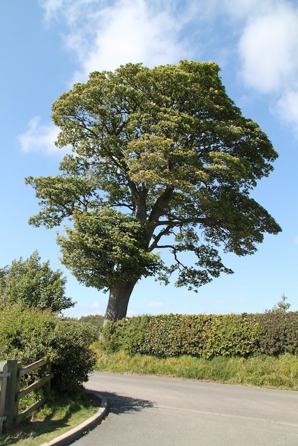
The woodland is characterized by a diverse range of native tree species, including oak, beech, birch, and Scots pine. These majestic trees provide a canopy of shade, creating a tranquil and peaceful atmosphere within the forest. Bilston Burn, a small stream, runs through the wood, adding to its natural beauty and providing a habitat for various aquatic plants and animals.

The forest offers several well-maintained walking trails, ranging from short and easy routes to longer, more challenging ones. These paths wind through the wood, offering visitors the opportunity to explore its hidden corners and discover its rich biodiversity. Along the way, visitors might encounter a variety of wildlife, including deer, squirrels, and a wide range of bird species.

Bilston Wood is not only a haven for nature lovers but also a historically significant site. It is believed to have been an important location during the Iron Age, with evidence of settlements and ancient burial grounds. Archaeological finds from the area, such as pottery and tools, support this theory.

Overall, Bilston Wood is a captivating and ecologically important forest that offers a peaceful retreat from the hustle and bustle of everyday life. With its stunning natural landscapes and rich history, it is a must-visit destination for anyone seeking to connect with nature and explore Scotland's enchanting woodlands.

If you have any feedback on the listing, please let us know in the comments section below.
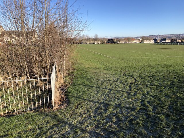
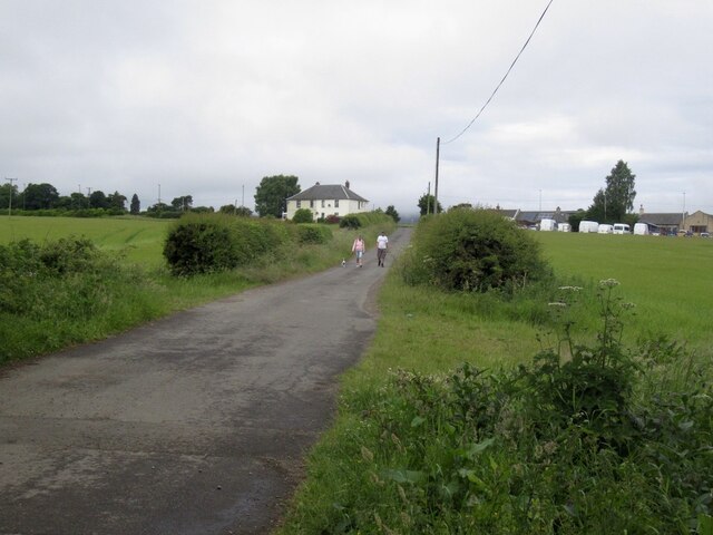
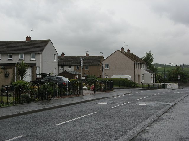
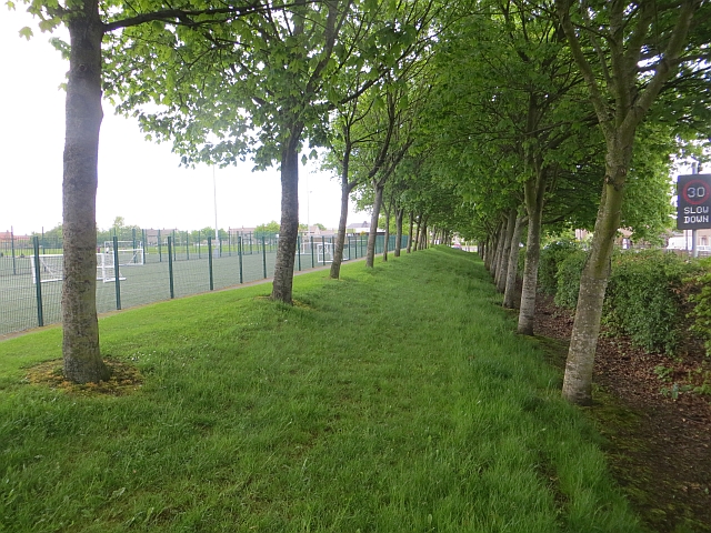
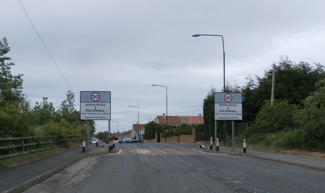
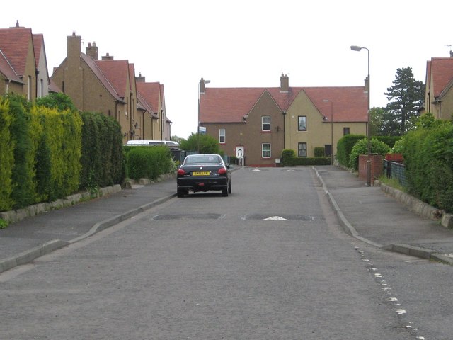
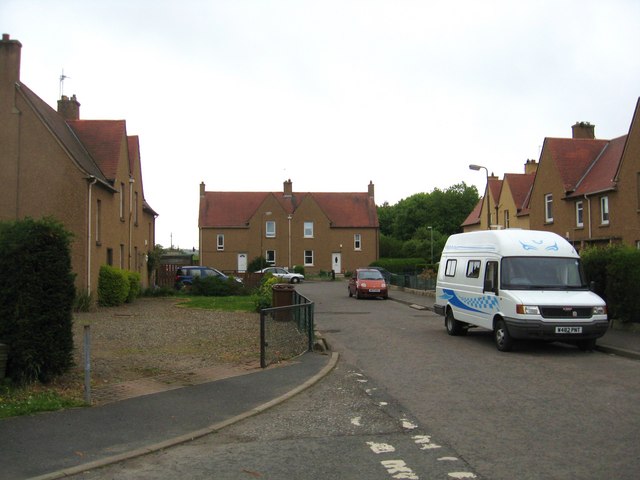
Bilston Wood Images

Images are sourced within 2km of 55.870796/-3.1482419 or Grid Reference NT2864. Thanks to Geograph Open Source API. All images are credited.

Poltonhall Recreation Park Across the pitches to the all weather pitches administered by Bonnyrigg Rose, the local football club.
Poltonhall Recreation Park
Across the pitches to the all weather pitches administered by Bonnyrigg Rose, the local football club.
Argyll Place, Polton
Green space, Polton Looking towards Hawthornden Primary School from one of the mounds in an informal open space amongst houses.
Green space, Polton
Looking towards Hawthornden Primary School from one of the mounds in an informal open space amongst houses.
Path, Polton A typical Lothians housing estate, lots of paths from car parks and open spaces.
Path, Polton
A typical Lothians housing estate, lots of paths from car parks and open spaces.
Polton Road West
Polton Road West
Behind Gordon Avenue, Polton Houses surrounding green spaces.
Behind Gordon Avenue, Polton
Houses surrounding green spaces.
Beside Polton Road West
Dropping off shipping containers Builder's storage. Scaffolders were at work in the estate.
Dropping off shipping containers
Builder's storage. Scaffolders were at work in the estate.
Poltonhall Recreation Park Sports pitches including an all weather football pitch and rugby ground. The enclosure surrounds a balance pond.
Poltonhall Recreation Park
Sports pitches including an all weather football pitch and rugby ground. The enclosure surrounds a balance pond.
Road from Dalhousie Chesters Agricultural, but within a bypass and there have been cores bored here.
Road from Dalhousie Chesters
Agricultural, but within a bypass and there have been cores bored here.
Eskdale Drive A wet morning in Bonnyrigg.
Eskdale Drive
A wet morning in Bonnyrigg.
Poltonhall playing fields A double row of trees between the pitches and road.
Poltonhall playing fields
A double row of trees between the pitches and road.
Entering Bonnyrigg
Entering Bonnyrigg
Pentland Crescent in  Rosewell, Midlothian
Pentland Crescent in Rosewell, Midlothian
West end of Pentland Crescent in Rosewell In Midlothian.
West end of Pentland Crescent in Rosewell
In Midlothian.
Sunny Tree A beautiful tree by the car park for Roslyn Chapel
Sunny Tree
A beautiful tree by the car park for Roslyn Chapel
Roslyn Chapel The entrance to Roslyn Chapel
Roslyn Chapel
The entrance to Roslyn Chapel
Roslin Memorial War memorial in Roslin village
Roslin Memorial
War memorial in Roslin village
Show me another place!

Bilston Wood is located at Grid Ref: NT2864 (Lat: 55.870796, Lng: -3.1482419)

Unitary Authority: Midlothian

Police Authority: The Lothians and Scottish Borders

What 3 Words

///songbirds.instilled.monitors. Near Loanhead, Midlothian

Nearby Locations

Bilston Wood Polton

Related Wikis

Polton railway station

Polton railway station served the village of Polton, Midlothian, Scotland from 1867 to 1964 on the Esk Valley Railway. == History == The station opened...

Mavisbank House

Mavisbank is a country house outside Loanhead, south of Edinburgh in Midlothian, Scotland. It was designed by architect William Adam in collaboration with...

Loanhead

Loanhead is a town in Midlothian, Scotland, in a commuter belt to the south of Edinburgh, and close to Roslin, Bonnyrigg and Dalkeith. The town was built...

Stewart Brewing

Stewart Brewing is an independent craft brewery based on the outskirts of Edinburgh in Loanhead, Midlothian, Scotland. It was established in 2004 by Steve...

Nearby Amenities

Located within 500m of 55.870796,-3.1482419
Barrier: bollard
Bicycle: yes
Foot: yes
Lat/Long: 55.872099/-3.151019
Barrier: bollard
Bicycle: yes
Foot: yes
Lat/Long: 55.8705328/-3.1509983
Bilston Glen
Place: locality
Lat/Long: 55.8707152/-3.1492245
Barrier: kissing_gate
Foot: yes
Lat/Long: 55.8680388/-3.1437516
Welcome to the Hewan Wood
Board Type: history
Information: board
Tourism: information
Lat/Long: 55.8704774/-3.1462473
Welcome to the Hewan Wood
Board Type: history
Information: board
Tourism: information
Lat/Long: 55.868056/-3.1436522
Addr Housenumber: 53
Addr Street: Polton Vale
Lat/Long: 55.8731608/-3.1503566
Power: pole
Lat/Long: 55.873819/-3.1523449
Power: pole
Lat/Long: 55.8735595/-3.152147
Power: pole
Lat/Long: 55.8732567/-3.1519032
Power: pole
Lat/Long: 55.8729504/-3.1516594
Noexit: yes
Lat/Long: 55.8689184/-3.1551507
Noexit: yes
Lat/Long: 55.8691402/-3.1555241
The data included in this document is from www.openstreetmap.org. The data is made available under ODbL.

Have you been to Bilston Wood?

Leave your review of Bilston Wood below (or comments, questions and feedback).