Polton

Settlement in Midlothian

Scotland

Polton

Poltonhall Recreation Park Across the pitches to the all weather pitches administered by Bonnyrigg Rose, the local football club.
Poltonhall Recreation Park Credit: Richard Webb

Polton is a village located in Midlothian, Scotland. It is situated approximately 8 miles southeast of the capital city, Edinburgh. The village is nestled in a scenic area, surrounded by rolling hills and picturesque landscapes.

Polton has a rich history that dates back centuries. It was originally a rural farming community, with agriculture being a prominent industry in the area. Over the years, the village has grown and developed, while still maintaining its charming, small-town atmosphere.

Today, Polton is a thriving community with a population of around 1,500 residents. The village offers a range of amenities and services to cater to the needs of its residents. There are several local shops, including a grocery store, post office, and a few small businesses. Additionally, Polton has a primary school, providing education to local children.

The village is well-connected to surrounding areas by road and public transportation. There are regular bus services that run to nearby towns and cities, making it convenient for residents to commute or travel for work or leisure.

Polton is also known for its natural beauty and outdoor recreational opportunities. The surrounding countryside offers ample opportunities for hiking, cycling, and exploring the great outdoors. Nearby attractions include Roslin Glen Country Park and the Pentland Hills Regional Park, both of which are popular destinations for nature enthusiasts.

Overall, Polton is a quaint and vibrant village with a rich history and a strong sense of community. Its beautiful surroundings and convenient location make it an attractive place to live for those seeking a peaceful and picturesque setting within easy reach of city amenities.

If you have any feedback on the listing, please let us know in the comments section below.
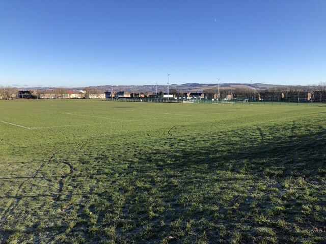
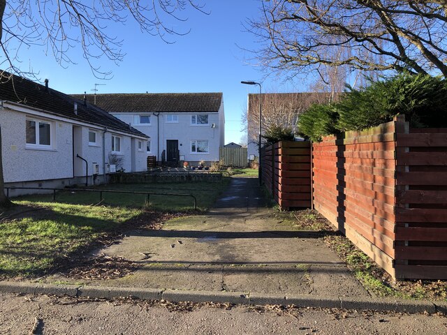
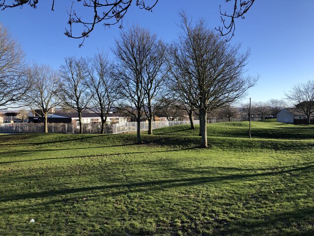
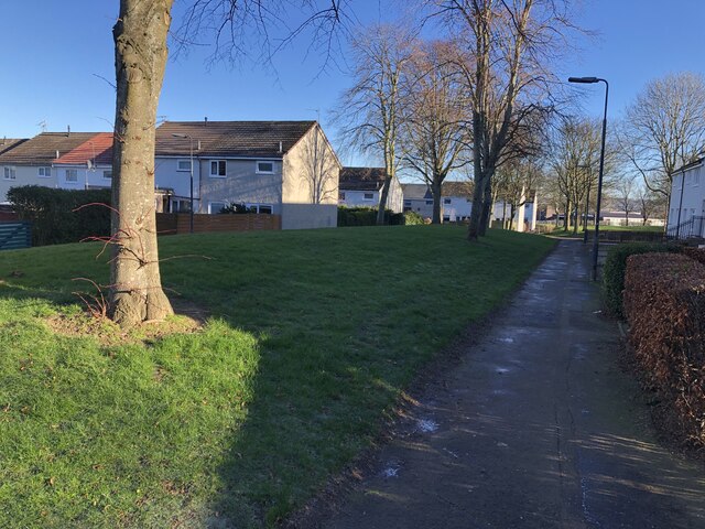
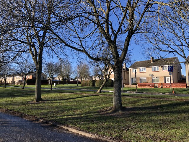
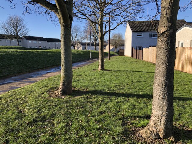
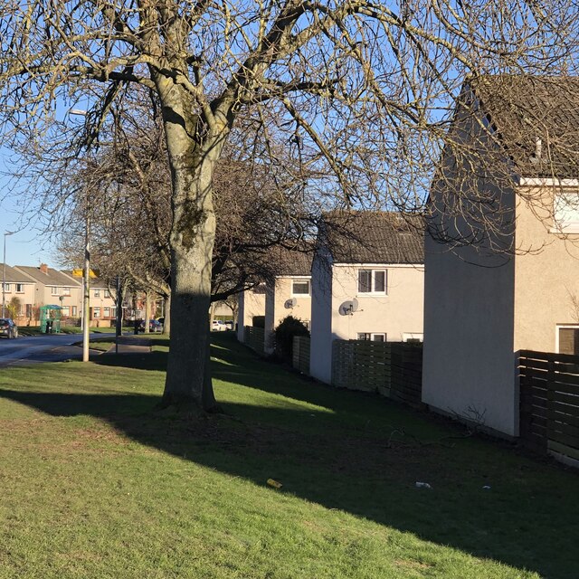
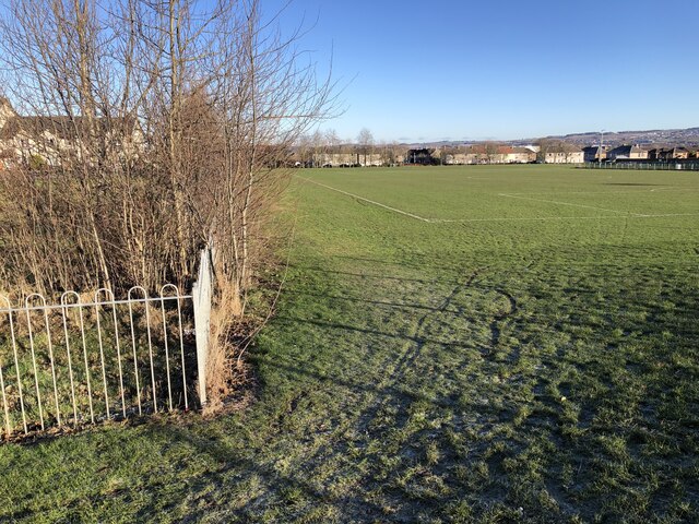
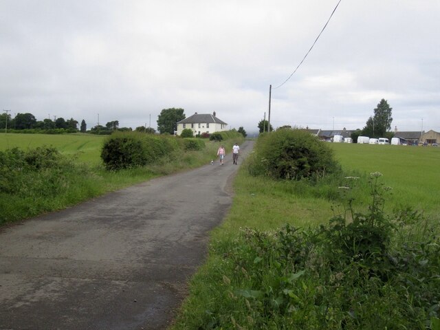
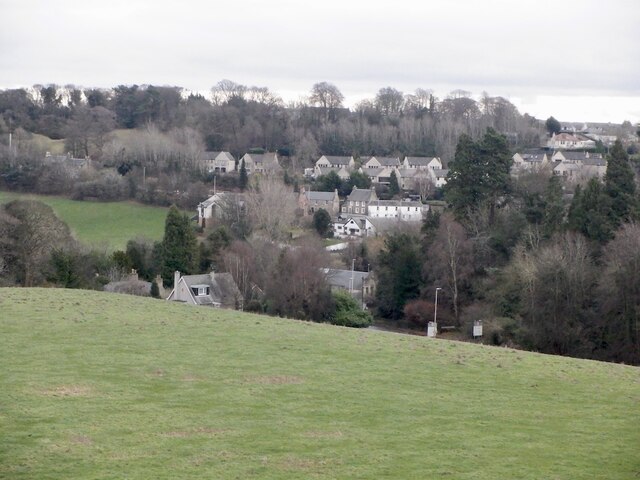
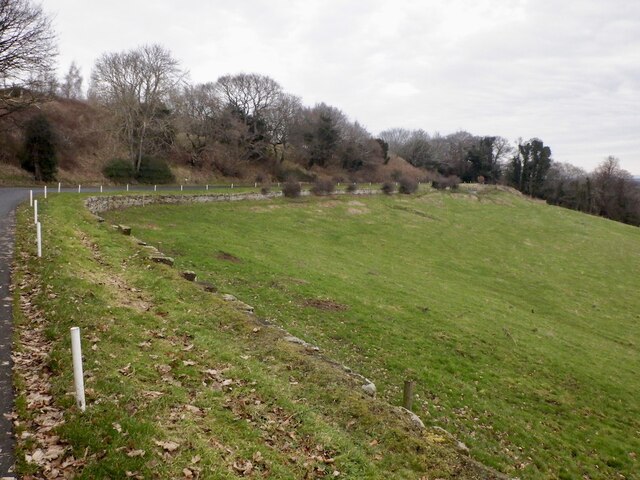
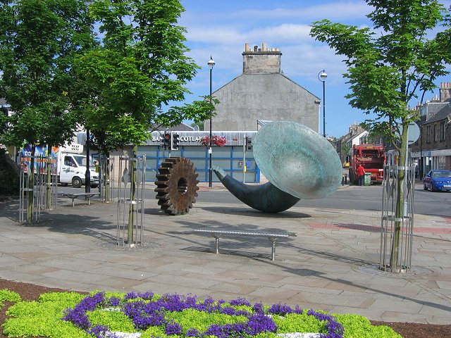
Polton Images

Images are sourced within 2km of 55.871031/-3.1383723 or Grid Reference NT2864. Thanks to Geograph Open Source API. All images are credited.

Poltonhall Recreation Park Across the pitches to the all weather pitches administered by Bonnyrigg Rose, the local football club.
Poltonhall Recreation Park
Across the pitches to the all weather pitches administered by Bonnyrigg Rose, the local football club.
Argyll Place, Polton
Green space, Polton Looking towards Hawthornden Primary School from one of the mounds in an informal open space amongst houses.
Green space, Polton
Looking towards Hawthornden Primary School from one of the mounds in an informal open space amongst houses.
Path, Polton A typical Lothians housing estate, lots of paths from car parks and open spaces.
Path, Polton
A typical Lothians housing estate, lots of paths from car parks and open spaces.
Polton Road West
Polton Road West
Behind Gordon Avenue, Polton Houses surrounding green spaces.
Behind Gordon Avenue, Polton
Houses surrounding green spaces.
Beside Polton Road West
Dropping off shipping containers Builder's storage. Scaffolders were at work in the estate.
Dropping off shipping containers
Builder's storage. Scaffolders were at work in the estate.
Poltonhall Recreation Park Sports pitches including an all weather football pitch and rugby ground. The enclosure surrounds a balance pond.
Poltonhall Recreation Park
Sports pitches including an all weather football pitch and rugby ground. The enclosure surrounds a balance pond.
Danger! The tar changed colour! Because the Heras did not block the road many people braved the hazardous colour.  (A section was resurfaced and the signs had not been fully removed)
Danger!
The tar changed colour! Because the Heras did not block the road many people braved the hazardous colour. (A section was resurfaced and the signs had not been fully removed)
Castell Maynes Crescent New houses by the rails to trails path, Bonnyrigg.
Castell Maynes Crescent
New houses by the rails to trails path, Bonnyrigg.
Penicuik to Musselburgh Path Passing Castell Maynes Crescent.
Penicuik to Musselburgh Path
Passing Castell Maynes Crescent.
Field, Dalhousie Chesters For how much longer? There are boreholes and it is within a bypass.
Field, Dalhousie Chesters
For how much longer? There are boreholes and it is within a bypass.
Penicuik to Musselburgh Path
Road from Dalhousie Chesters Agricultural, but within a bypass and there have been cores bored here.
Road from Dalhousie Chesters
Agricultural, but within a bypass and there have been cores bored here.
Road, Dalhousie Chesters
View over Lasswade
View over Lasswade
Road to Kings Acre golf courses
Show me another place!

Polton is located at Grid Ref: NT2864 (Lat: 55.871031, Lng: -3.1383723)

Unitary Authority: Midlothian

Police Authority: The Lothians and Scottish Borders

What 3 Words

///heavy.tomato.buckling. Near Loanhead, Midlothian

Nearby Locations

Polton Bilston Wood

Related Wikis

Polton railway station

Polton railway station served the village of Polton, Midlothian, Scotland from 1867 to 1964 on the Esk Valley Railway. == History == The station opened...

Mavisbank House

Mavisbank is a country house outside Loanhead, south of Edinburgh in Midlothian, Scotland. It was designed by architect William Adam in collaboration with...

Polton

Polton is a village located in Lasswade parish, Midlothian, Scotland, anciently a superiority of the Ramsay family, cadets of Dalhousie. In 1618 David...

Loanhead

Loanhead is a town in Midlothian, Scotland, in a commuter belt to the south of Edinburgh, and close to Roslin, Bonnyrigg and Dalkeith. The town was built...

Nearby Amenities

Located within 500m of 55.871031,-3.1383723
Waterway: weir
Lat/Long: 55.8718974/-3.1378164
Post Box
Mapillary: 163748885682446
Operator: Royal Mail
Operator Type: private
Operator Wikidata: Q638098
Post Box Type: lamp
Ref: EH18 71
Lat/Long: 55.8711011/-3.1368797
Barrier: kissing_gate
Foot: yes
Lat/Long: 55.8680388/-3.1437516
Historic: memorial
Memorial: war_memorial
Lat/Long: 55.8714833/-3.1388893
Polton
Whitewater: egress
Lat/Long: 55.8713377/-3.1385536
Springfield Mill
Information: board
Tourism: information
Lat/Long: 55.8708328/-3.138272
Barrier: bollard
Lat/Long: 55.8708163/-3.1384788
Roman Fort
Historic: archaeological_site
Source: Survey
Lat/Long: 55.8734843/-3.1404489
Welcome to the Hewan Wood
Board Type: history
Information: board
Tourism: information
Lat/Long: 55.8704774/-3.1462473
Welcome to the Hewan Wood
Board Type: history
Information: board
Tourism: information
Lat/Long: 55.868056/-3.1436522
Mavisbank
Board Type: history
Information: board
Tourism: information
Lat/Long: 55.87335/-3.13563
Traffic Calming: cushion
Lat/Long: 55.8699898/-3.1306315
Give Way
Direction: backward
Lat/Long: 55.8700483/-3.1308355
The data included in this document is from www.openstreetmap.org. The data is made available under ODbL.

Have you been to Polton?

Leave your review of Polton below (or comments, questions and feedback).