Bald's Wood

Wood, Forest in Peeblesshire

Scotland

Bald's Wood

Cotton grass on Peat Hill A rough area of flat boggy ground, heather and tussocks with cotton grass as a warning of conditions underfoot. It's clear from the GPS location here that your photographer has wandered off the 'path' in a fruitless attempt to find easier ground.
Cotton grass on Peat Hill Credit: Jim Barton

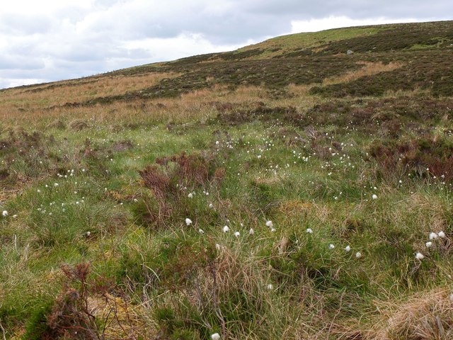
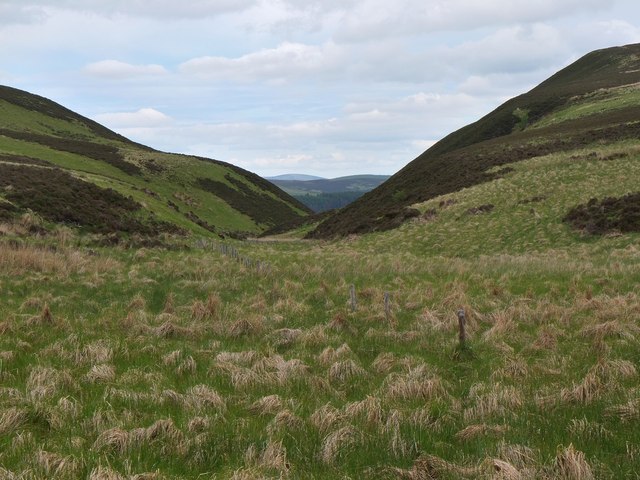
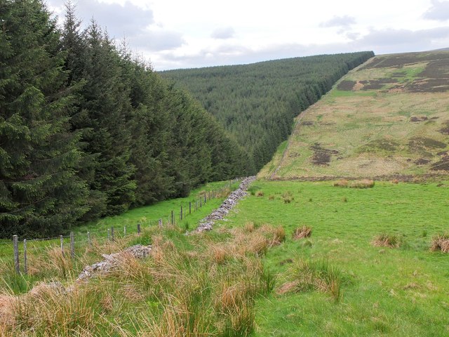
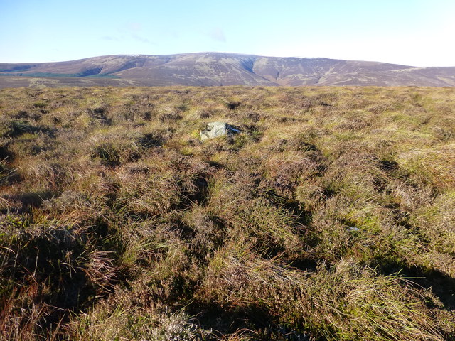
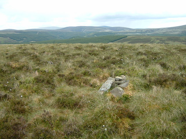
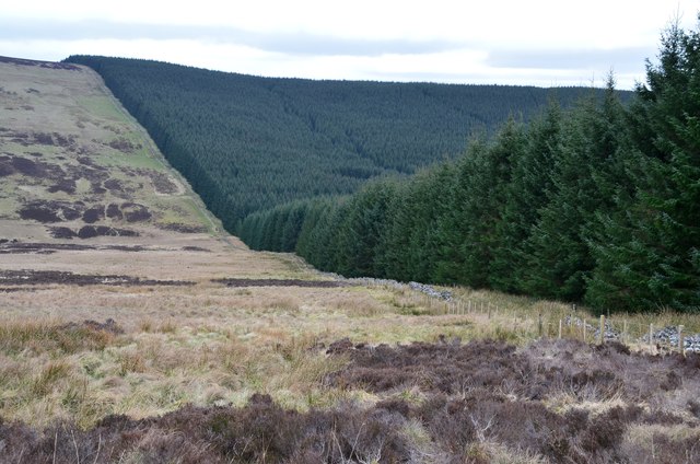
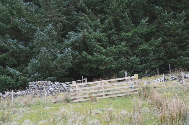
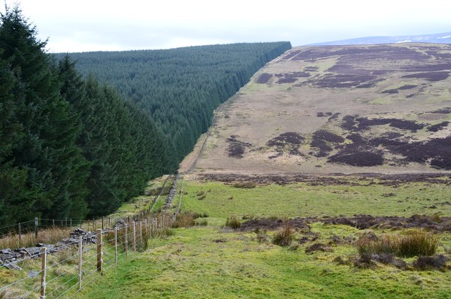
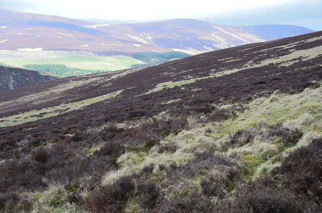
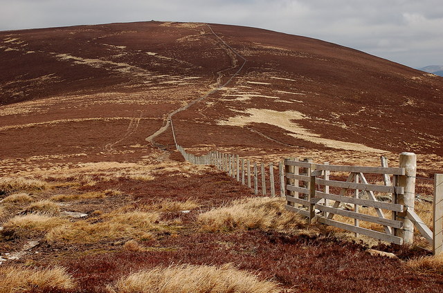
Bald's Wood, located in Peeblesshire, Scotland, is a picturesque forest that spans an area of approximately 500 acres. The wood is situated on the southern slopes of the Moorfoot Hills, offering breathtaking views of the surrounding countryside.

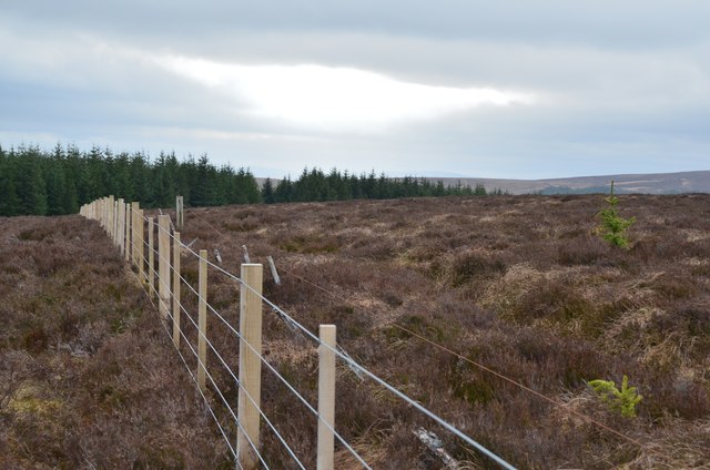
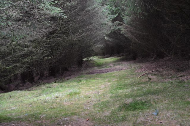
The wood is primarily composed of a mixture of broadleaf and coniferous trees, creating a diverse and vibrant ecosystem. Ancient oak and beech trees provide a majestic canopy, while fir and pine trees add a touch of evergreen charm. This rich variety of vegetation attracts a wide range of wildlife, including deer, foxes, badgers, and a variety of bird species.

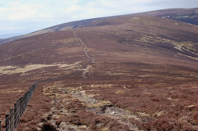
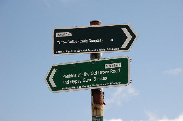
The forest is crisscrossed by numerous walking and hiking trails, making it a popular destination for outdoor enthusiasts. These paths allow visitors to explore the wood at their own pace, immersing themselves in the tranquility of nature. The trails vary in difficulty, catering to both casual strollers and more experienced hikers.

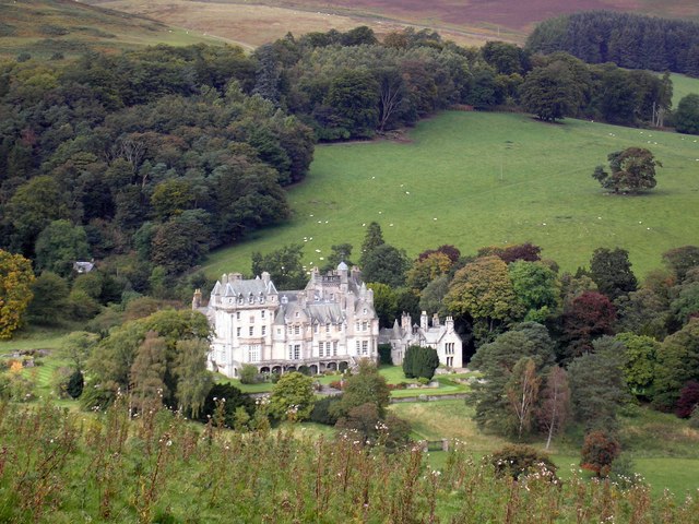
Bald's Wood also holds historical significance, with remnants of ancient settlements and structures scattered throughout the area. Archaeological excavations have revealed evidence of human activity dating back thousands of years, including Bronze Age burial cairns and Iron Age hill forts. These remnants serve as a testament to the rich cultural heritage of the region.

Visitors to Bald's Wood can enjoy a peaceful retreat, surrounded by the beauty of nature and the echoes of Scotland's past. Whether seeking a leisurely stroll, an adventurous hike, or a glimpse into history, this woodland sanctuary offers something for everyone.

If you have any feedback on the listing, please let us know in the comments section below.
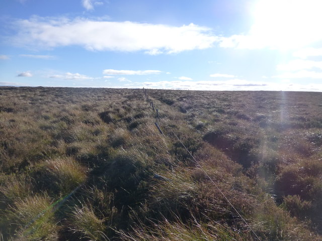
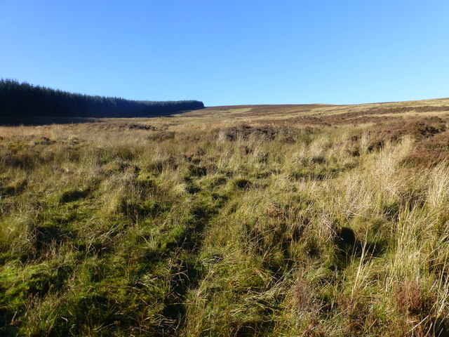
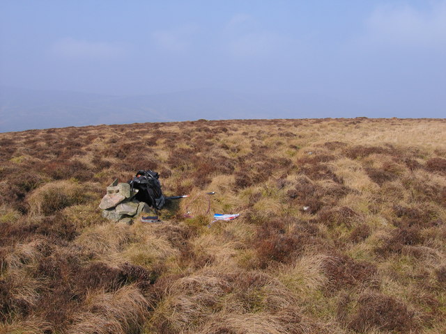
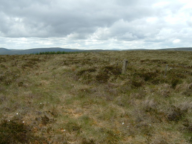
Bald's Wood Images

Images are sourced within 2km of 55.569555/-3.1456197 or Grid Reference NT2731. Thanks to Geograph Open Source API. All images are credited.

Cotton grass on Peat Hill A rough area of flat boggy ground, heather and tussocks with cotton grass as a warning of conditions underfoot. It's clear from the GPS location here that your photographer has wandered off the 'path' in a fruitless attempt to find easier ground.
Cotton grass on Peat Hill
A rough area of flat boggy ground, heather and tussocks with cotton grass as a warning of conditions underfoot. It's clear from the GPS location here that your photographer has wandered off the 'path' in a fruitless attempt to find easier ground.
Col at the head of Glendean Banks An old fence runs from the forest edge towards the steep-sided valley of Glendean Banks.
Col at the head of Glendean Banks
An old fence runs from the forest edge towards the steep-sided valley of Glendean Banks.
Forest edge to Whiteknowe Head This forest is less than 35 years old - it does not appear on the Harvey Map Services 1:40,000 map produced in 1978 for the Karrimor International Mountain Marathon. An area SE of Deuchar Law is shown as 'new plantation'. 

More on the KIMM event is given in <a href="https://www.geograph.org.uk/photo/3508914">NT2730 : Glenshiel Banks cottage</a>.
Forest edge to Whiteknowe Head
This forest is less than 35 years old - it does not appear on the Harvey Map Services 1:40,000 map produced in 1978 for the Karrimor International Mountain Marathon. An area SE of Deuchar Law is shown as 'new plantation'. More on the KIMM event is given in NT2730 : Glenshiel Banks cottage.
Deuchar Law Parked passed Kirkhouse to use the Southern Upland Way to Blake Muir, Deuhar Law, Whiteknowe Head, Dun Rig, Stake Law and Birkscairn Hill before descending to Glen House Estate Farm to use the minor road back to Kirkhouse.
Name: Deuchar Law
Hill number: 1923
Height: 543m / 1781ft
Area: 28B: The River Tweed to the English Border
Class: Ma,5D
Grid ref: NT 28499 29698
Summit feature: small pile of stones
Drop: 155m
Col: 388m  NT276293
Deuchar Law
Parked passed Kirkhouse to use the Southern Upland Way to Blake Muir, Deuhar Law, Whiteknowe Head, Dun Rig, Stake Law and Birkscairn Hill before descending to Glen House Estate Farm to use the minor road back to Kirkhouse. Name: Deuchar Law Hill number: 1923 Height: 543m / 1781ft Area: 28B: The River Tweed to the English Border Class: Ma,5D Grid ref: NT 28499 29698 Summit feature: small pile of stones Drop: 155m Col: 388m NT276293
Whiteknowe Head Ticked flat moorland plateau with Chris Watson. Parked passed Kirkhouse to use the Southern Upland Way to Blake Muir, Deuhar Law, Whiteknowe Head, Dun Rig, Stake Law and Birkscairn Hill before descending to Glen House Estate Farm to use the minor road back to Kirkhouse.  Summit is on the right of the fence looking towards the sun but very flat heathery plateau.
Name: Whiteknowe Head
Hill number: 7437
Height: 513m / 1683ft
Area: 28B: The River Tweed to the English Border
Class: s5D
Grid ref: NT 26880 29693
Summit feature: no feature: heather
Drop: 28m
Col: 485m  NT265303
Whiteknowe Head
Ticked flat moorland plateau with Chris Watson. Parked passed Kirkhouse to use the Southern Upland Way to Blake Muir, Deuhar Law, Whiteknowe Head, Dun Rig, Stake Law and Birkscairn Hill before descending to Glen House Estate Farm to use the minor road back to Kirkhouse. Summit is on the right of the fence looking towards the sun but very flat heathery plateau. Name: Whiteknowe Head Hill number: 7437 Height: 513m / 1683ft Area: 28B: The River Tweed to the English Border Class: s5D Grid ref: NT 26880 29693 Summit feature: no feature: heather Drop: 28m Col: 485m NT265303
Heading For Whiteknowe Head A view along the forest edge and rising moorland towards Whiteknowe Head.
Heading For Whiteknowe Head
A view along the forest edge and rising moorland towards Whiteknowe Head.
Deuchar Law summit cairn
Whiteknowe Head summit fence The vegetation gives away the character of the ground here - heather, tussock grass and bog cotton. The man-eating tussocks down the slope just east of here are particularly recommended.
Whiteknowe Head summit fence
The vegetation gives away the character of the ground here - heather, tussock grass and bog cotton. The man-eating tussocks down the slope just east of here are particularly recommended.
Summit of Deuchar Law Not all hills around here can boast a summit cairn, even a small one like this. Whiteknowe Head can be seen in the middle distance.
Summit of Deuchar Law
Not all hills around here can boast a summit cairn, even a small one like this. Whiteknowe Head can be seen in the middle distance.
Fence and forestry, Whiteknowe Head Comparing with my last visit almost 10 years ago (<a href="https://www.geograph.org.uk/photo/1346158">NT2629 : Whiteknowe Head summit fence</a>) the fence has been replaced and presumably the trees are a little taller, but the deep heather on the peaty ground gives as much fun as ever.
Fence and forestry, Whiteknowe Head
Comparing with my last visit almost 10 years ago (NT2629 : Whiteknowe Head summit fence) the fence has been replaced and presumably the trees are a little taller, but the deep heather on the peaty ground gives as much fun as ever.
A wall of trees An uncompromising plantation between Whiteknowe Head and Deuchar Law.
A wall of trees
An uncompromising plantation between Whiteknowe Head and Deuchar Law.
A way into the forest, Whiteknowe Head The path to the Douglas Burn follows a forest ride deeply shadowed by close-set mature trees.
A way into the forest, Whiteknowe Head
The path to the Douglas Burn follows a forest ride deeply shadowed by close-set mature trees.
Path into the forest, Whiteknowe Head A hurdle in the new fence to give access to the forest path down to the Douglas Burn. See <a href="https://www.geograph.org.uk/photo/6103511">NT2729 : A way into the forest, Whiteknowe Head</a> for the view under the trees.
Path into the forest, Whiteknowe Head
A hurdle in the new fence to give access to the forest path down to the Douglas Burn. See NT2729 : A way into the forest, Whiteknowe Head for the view under the trees.
Forest edge from Deuchar Law The edge of a mature spruce forest crossing the valley to Whiteknowe Head.
Forest edge from Deuchar Law
The edge of a mature spruce forest crossing the valley to Whiteknowe Head.
Heather and grass, Deuchar Law Heather seems to have the upper hand just here. In the background is the ridge over Birkscairn Hill with Glen Sax on the other side.
Heather and grass, Deuchar Law
Heather seems to have the upper hand just here. In the background is the ridge over Birkscairn Hill with Glen Sax on the other side.
Ridge from Birkscairn Hill to Stake Law Peaty heather covers much of the ridge in view. The Old Drove Road between Traquair and Peebles crosses the col.
Ridge from Birkscairn Hill to Stake Law
Peaty heather covers much of the ridge in view. The Old Drove Road between Traquair and Peebles crosses the col.
Signposts south of Birkscairn Hill The signs at the stile shown in <a href="https://www.geograph.org.uk/photo/79682">NT2732 : Signpost and stile, Birkscairn hill</a>.
Signposts south of Birkscairn Hill
The signs at the stile shown in NT2732 : Signpost and stile, Birkscairn hill.
Birkscairn Hill from the slopes of Stake Law The Old Drove Road crosses the col and contours W of the summit of Birkscairn, rejoining the ridge further N.
Birkscairn Hill from the slopes of Stake Law
The Old Drove Road crosses the col and contours W of the summit of Birkscairn, rejoining the ridge further N.
Show me another place!

Bald's Wood is located at Grid Ref: NT2731 (Lat: 55.569555, Lng: -3.1456197)

Unitary Authority: The Scottish Borders

Police Authority: The Lothians and Scottish Borders

What 3 Words

///lies.engineers.casino. Near Innerleithen, Scottish Borders

Related Wikis

Dun Rig

Dun Rig is a hill in the Manor Hills range, part of the Southern Uplands of Scotland. It is the highest hill in the northernmost cluster of the Manor Hills...

The Glen, Scottish Borders

The Glen, also known as Glen House, is an estate and country house in the parish of Traquair, southern Scotland. It is located in the glen of the Quair...

Manor Hills

The Manor Hills, also known as the Tweedsmuir Hills, are a range of hills south of Peebles in the Scottish Borders, one of the ranges which collectively...

Traquair

Traquair (Scottish Gaelic: Cille Bhrìghde) is a small village and civil parish in the Scottish Borders; until 1975 it was in the county of Peeblesshire...

Have you been to Bald's Wood?

Leave your review of Bald's Wood below (or comments, questions and feedback).