Johnstone's Strip

Wood, Forest in Peeblesshire

Scotland

Johnstone's Strip

Cotton grass on Peat Hill A rough area of flat boggy ground, heather and tussocks with cotton grass as a warning of conditions underfoot. It's clear from the GPS location here that your photographer has wandered off the 'path' in a fruitless attempt to find easier ground.
Cotton grass on Peat Hill Credit: Jim Barton

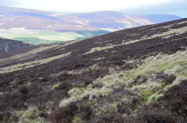
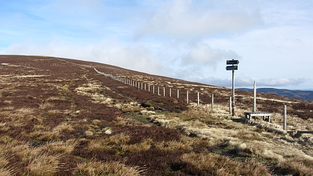
Johnstone's Strip, located in Peeblesshire, Scotland, is a picturesque woodland area known for its natural beauty and diverse ecosystem. Covering an approximate area of several square kilometers, this forest is a popular destination for nature enthusiasts and hikers alike.

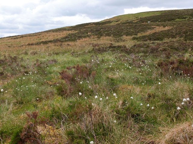
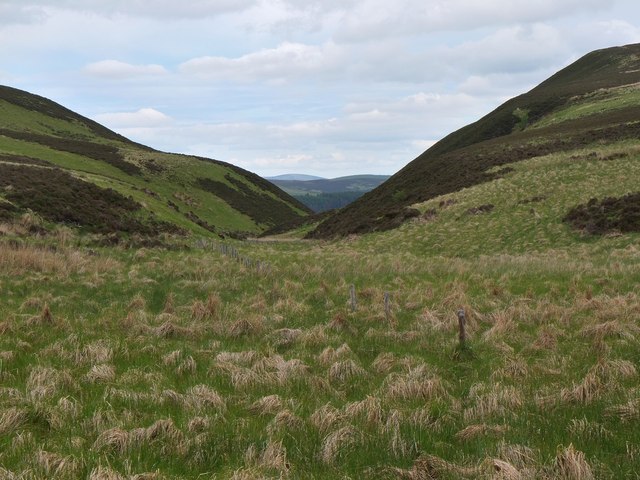
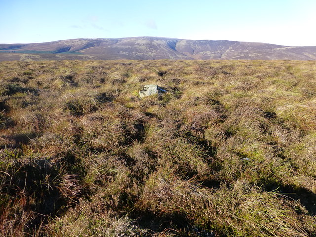
The woodland is predominantly composed of mixed deciduous and coniferous trees, creating a rich tapestry of colors throughout the year. Towering oak, beech, and birch trees dominate the landscape, providing a haven for a variety of wildlife. The forest floor is adorned with a carpet of wildflowers during spring, including bluebells and primroses, adding to the enchanting ambiance.

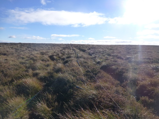
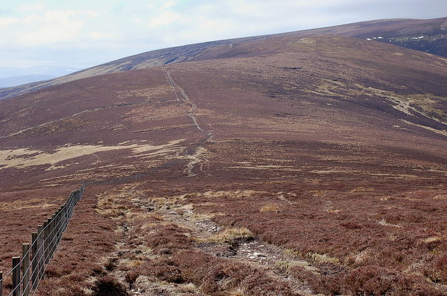
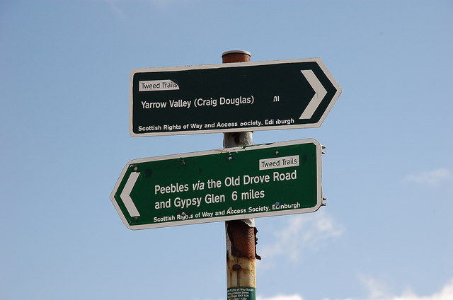
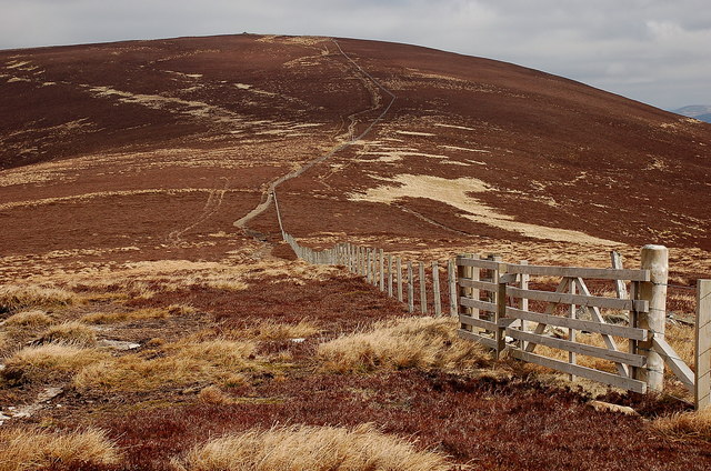
Several walking trails crisscross the forest, offering visitors the opportunity to explore its hidden gems. These paths wind through the woods, leading to charming streams, tranquil ponds, and even a small waterfall. The sound of birdsong fills the air, with species such as woodpeckers, thrushes, and finches making their homes in the branches above.

Johnstone's Strip is also home to a diverse range of wildlife. Deer can often be spotted grazing amongst the trees, while foxes, badgers, and rabbits find shelter within the undergrowth. The forest is a haven for birdwatchers, attracting species such as buzzards, owls, and even the occasional golden eagle.

The management of Johnstone's Strip is focused on preserving its natural beauty and protecting the delicate balance of its ecosystem. Efforts are made to maintain the trails, ensuring safe and enjoyable access for visitors while minimizing environmental impact.

In conclusion, Johnstone's Strip is a captivating woodland in Peeblesshire, offering a tranquil escape into nature. With its diverse flora and fauna, picturesque trails, and peaceful atmosphere, it is no wonder that this forest is cherished by locals and visitors alike.

If you have any feedback on the listing, please let us know in the comments section below.

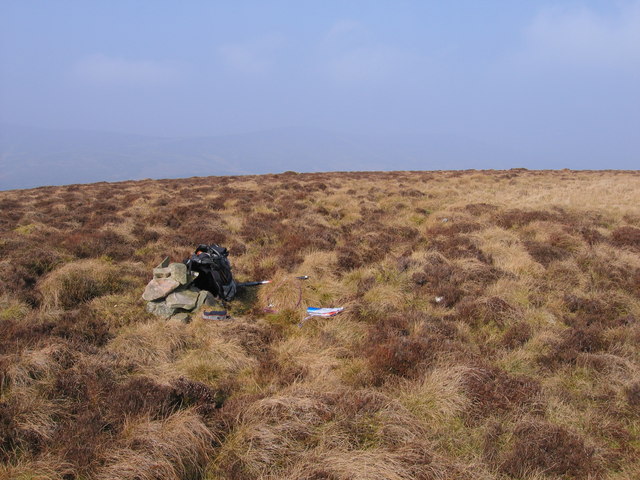
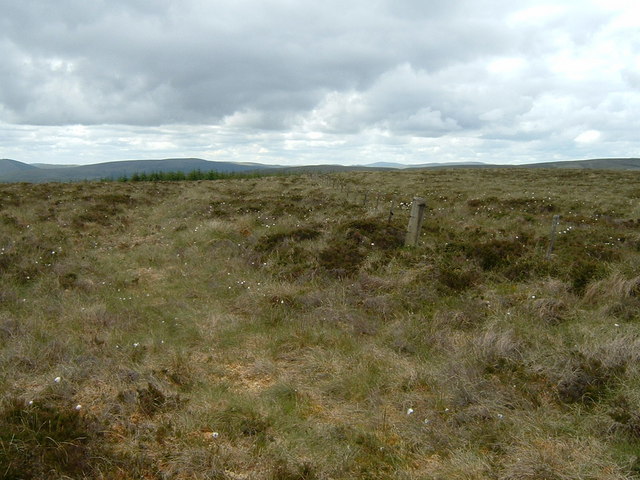
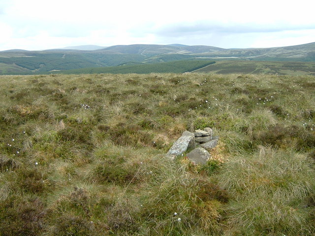
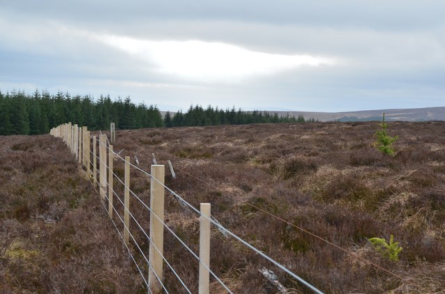
Johnstone's Strip Images

Images are sourced within 2km of 55.571647/-3.148694 or Grid Reference NT2731. Thanks to Geograph Open Source API. All images are credited.

Cotton grass on Peat Hill A rough area of flat boggy ground, heather and tussocks with cotton grass as a warning of conditions underfoot. It's clear from the GPS location here that your photographer has wandered off the 'path' in a fruitless attempt to find easier ground.
Cotton grass on Peat Hill
A rough area of flat boggy ground, heather and tussocks with cotton grass as a warning of conditions underfoot. It's clear from the GPS location here that your photographer has wandered off the 'path' in a fruitless attempt to find easier ground.
Col at the head of Glendean Banks An old fence runs from the forest edge towards the steep-sided valley of Glendean Banks.
Col at the head of Glendean Banks
An old fence runs from the forest edge towards the steep-sided valley of Glendean Banks.
Deuchar Law Parked passed Kirkhouse to use the Southern Upland Way to Blake Muir, Deuhar Law, Whiteknowe Head, Dun Rig, Stake Law and Birkscairn Hill before descending to Glen House Estate Farm to use the minor road back to Kirkhouse.
Name: Deuchar Law
Hill number: 1923
Height: 543m / 1781ft
Area: 28B: The River Tweed to the English Border
Class: Ma,5D
Grid ref: NT 28499 29698
Summit feature: small pile of stones
Drop: 155m
Col: 388m  NT276293
Deuchar Law
Parked passed Kirkhouse to use the Southern Upland Way to Blake Muir, Deuhar Law, Whiteknowe Head, Dun Rig, Stake Law and Birkscairn Hill before descending to Glen House Estate Farm to use the minor road back to Kirkhouse. Name: Deuchar Law Hill number: 1923 Height: 543m / 1781ft Area: 28B: The River Tweed to the English Border Class: Ma,5D Grid ref: NT 28499 29698 Summit feature: small pile of stones Drop: 155m Col: 388m NT276293
Whiteknowe Head Ticked flat moorland plateau with Chris Watson. Parked passed Kirkhouse to use the Southern Upland Way to Blake Muir, Deuhar Law, Whiteknowe Head, Dun Rig, Stake Law and Birkscairn Hill before descending to Glen House Estate Farm to use the minor road back to Kirkhouse.  Summit is on the right of the fence looking towards the sun but very flat heathery plateau.
Name: Whiteknowe Head
Hill number: 7437
Height: 513m / 1683ft
Area: 28B: The River Tweed to the English Border
Class: s5D
Grid ref: NT 26880 29693
Summit feature: no feature: heather
Drop: 28m
Col: 485m  NT265303
Whiteknowe Head
Ticked flat moorland plateau with Chris Watson. Parked passed Kirkhouse to use the Southern Upland Way to Blake Muir, Deuhar Law, Whiteknowe Head, Dun Rig, Stake Law and Birkscairn Hill before descending to Glen House Estate Farm to use the minor road back to Kirkhouse. Summit is on the right of the fence looking towards the sun but very flat heathery plateau. Name: Whiteknowe Head Hill number: 7437 Height: 513m / 1683ft Area: 28B: The River Tweed to the English Border Class: s5D Grid ref: NT 26880 29693 Summit feature: no feature: heather Drop: 28m Col: 485m NT265303
Deuchar Law summit cairn
Whiteknowe Head summit fence The vegetation gives away the character of the ground here - heather, tussock grass and bog cotton. The man-eating tussocks down the slope just east of here are particularly recommended.
Whiteknowe Head summit fence
The vegetation gives away the character of the ground here - heather, tussock grass and bog cotton. The man-eating tussocks down the slope just east of here are particularly recommended.
Summit of Deuchar Law Not all hills around here can boast a summit cairn, even a small one like this. Whiteknowe Head can be seen in the middle distance.
Summit of Deuchar Law
Not all hills around here can boast a summit cairn, even a small one like this. Whiteknowe Head can be seen in the middle distance.
Fence and forestry, Whiteknowe Head Comparing with my last visit almost 10 years ago (<a href="https://www.geograph.org.uk/photo/1346158">NT2629 : Whiteknowe Head summit fence</a>) the fence has been replaced and presumably the trees are a little taller, but the deep heather on the peaty ground gives as much fun as ever.
Fence and forestry, Whiteknowe Head
Comparing with my last visit almost 10 years ago (NT2629 : Whiteknowe Head summit fence) the fence has been replaced and presumably the trees are a little taller, but the deep heather on the peaty ground gives as much fun as ever.
Heather and grass, Deuchar Law Heather seems to have the upper hand just here. In the background is the ridge over Birkscairn Hill with Glen Sax on the other side.
Heather and grass, Deuchar Law
Heather seems to have the upper hand just here. In the background is the ridge over Birkscairn Hill with Glen Sax on the other side.
Ridge from Birkscairn Hill to Stake Law Peaty heather covers much of the ridge in view. The Old Drove Road between Traquair and Peebles crosses the col.
Ridge from Birkscairn Hill to Stake Law
Peaty heather covers much of the ridge in view. The Old Drove Road between Traquair and Peebles crosses the col.
Signposts south of Birkscairn Hill The signs at the stile shown in <a href="https://www.geograph.org.uk/photo/79682">NT2732 : Signpost and stile, Birkscairn hill</a>.
Signposts south of Birkscairn Hill
The signs at the stile shown in NT2732 : Signpost and stile, Birkscairn hill.
Birkscairn Hill from the slopes of Stake Law The Old Drove Road crosses the col and contours W of the summit of Birkscairn, rejoining the ridge further N.
Birkscairn Hill from the slopes of Stake Law
The Old Drove Road crosses the col and contours W of the summit of Birkscairn, rejoining the ridge further N.
Summit fence, Stake Law The old post shown in <a href="https://www.geograph.org.uk/photo/79677">NT2632 : Fence post, summit of Stake Law</a> taken in 2005 has now been joined by a new fence.
Summit fence, Stake Law
The old post shown in NT2632 : Fence post, summit of Stake Law taken in 2005 has now been joined by a new fence.
Cairn on Stake Law A substantial cairn, not at the highest point but perhaps built as a landmark for the path crossing the hillside to the S towards the Douglas Burn.
Cairn on Stake Law
A substantial cairn, not at the highest point but perhaps built as a landmark for the path crossing the hillside to the S towards the Douglas Burn.
Boulders and a small cairn, Stake Law Next to the prominent cairn, looking across to Dun Rig with a few snow remnants.
Boulders and a small cairn, Stake Law
Next to the prominent cairn, looking across to Dun Rig with a few snow remnants.
Peat hags, Stake Law The col between Stake Law and Dun Rig is covered by dissected peat, eroded into hags about 2m deep. The ridge of Hundleshope Heights is in view across the glen, with the Pentland Hills on the distant skyline.
Peat hags, Stake Law
The col between Stake Law and Dun Rig is covered by dissected peat, eroded into hags about 2m deep. The ridge of Hundleshope Heights is in view across the glen, with the Pentland Hills on the distant skyline.
Old and new fences, Dun Rig The new fence has been put in fairly recently by the look of it.
Old and new fences, Dun Rig
The new fence has been put in fairly recently by the look of it.
Birkscairn Hill Scottish Rights of Way Society sign on the old drove road between Peebles and the Yarrow Water. The path goes through a gate here and cuts the rather sharp corner shown on Ordnance Survey maps.
Birkscairn Hill
Scottish Rights of Way Society sign on the old drove road between Peebles and the Yarrow Water. The path goes through a gate here and cuts the rather sharp corner shown on Ordnance Survey maps.
Show me another place!

Johnstone's Strip is located at Grid Ref: NT2731 (Lat: 55.571647, Lng: -3.148694)

Unitary Authority: The Scottish Borders

Police Authority: The Lothians and Scottish Borders

What 3 Words

///lifetimes.useful.swinging. Near Innerleithen, Scottish Borders

Related Wikis

Dun Rig

Dun Rig is a hill in the Manor Hills range, part of the Southern Uplands of Scotland. It is the highest hill in the northernmost cluster of the Manor Hills...

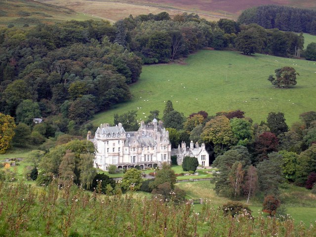
The Glen, Scottish Borders

The Glen, also known as Glen House, is an estate and country house in the parish of Traquair, southern Scotland. It is located in the glen of the Quair...

Manor Hills

The Manor Hills, also known as the Tweedsmuir Hills, are a range of hills south of Peebles in the Scottish Borders, one of the ranges which collectively...

Cardrona Forest

The Cardrona Forest is a forest in the Scottish Borders area of Scotland, on the B7062, near Peebles. OS Grid Reference: NT292385. Cardrona Forest consists...

Have you been to Johnstone's Strip?

Leave your review of Johnstone's Strip below (or comments, questions and feedback).