Braes of Conerock
Wood, Forest in Morayshire
Scotland
Braes of Conerock

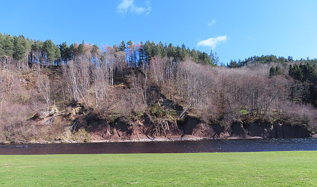
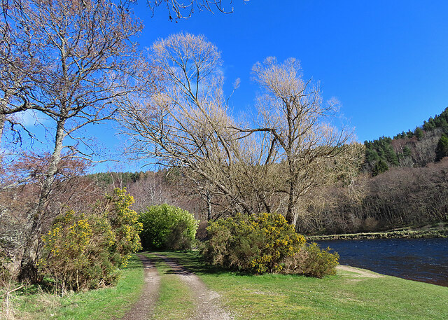
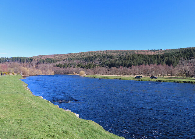
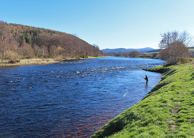
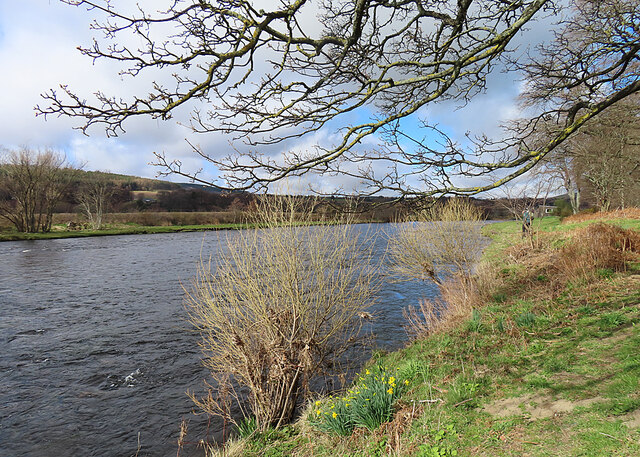
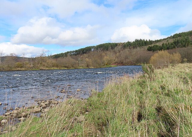
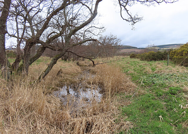
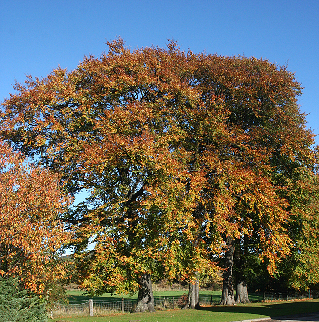
The Braes of Conerock is a picturesque woodland area located in Morayshire, Scotland. Spanning over a vast expanse of land, this forested region is renowned for its natural beauty and diverse ecosystem. The area is characterized by rolling hills, dense forests, and meandering streams, offering visitors a tranquil and idyllic escape from the bustling city life.
The Braes of Conerock is home to a wide array of flora and fauna, making it a haven for nature lovers and wildlife enthusiasts. The forest is predominantly composed of native Scottish tree species such as oak, birch, and pine, which provide a habitat for various bird species, including woodpeckers, owls, and songbirds. The forest floor is adorned with an abundance of wildflowers, mosses, and ferns, creating a vibrant and colorful landscape.
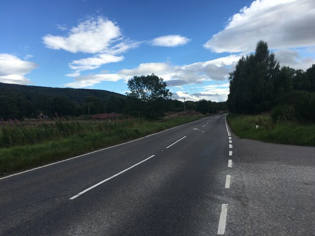
Visitors to the Braes of Conerock can enjoy a range of recreational activities, including hiking, mountain biking, and birdwatching. The forest boasts an extensive network of trails, offering both easy strolls and more challenging hikes for outdoor enthusiasts of all levels. The peaceful atmosphere and breathtaking views make it an ideal location for those seeking solitude and a connection with nature.
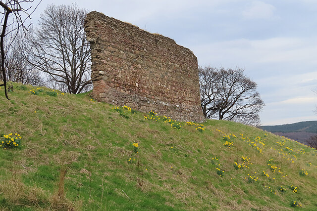
In addition to its natural beauty, the Braes of Conerock holds historical significance. The area is scattered with ancient ruins and archaeological sites, providing insights into Scotland's rich cultural heritage. These remnants of the past add an extra layer of intrigue to the forest, making it an enticing destination for history buffs and explorers.
Overall, the Braes of Conerock in Morayshire offers a captivating blend of natural splendor, wildlife, and cultural heritage, making it a must-visit destination for anyone seeking a peaceful retreat in the heart of Scotland.
If you have any feedback on the listing, please let us know in the comments section below.
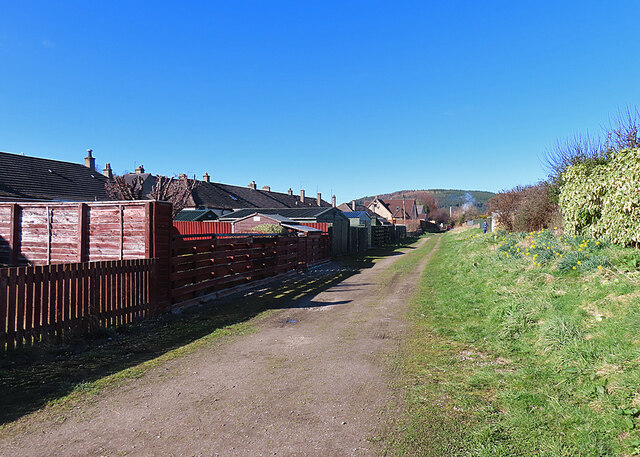
Braes of Conerock Images
Images are sourced within 2km of 57.512285/-3.2053807 or Grid Reference NJ2747. Thanks to Geograph Open Source API. All images are credited.


Braes of Conerock is located at Grid Ref: NJ2747 (Lat: 57.512285, Lng: -3.2053807)
Unitary Authority: Moray
Police Authority: North East
What 3 Words
///duty.notices.multiples. Near Rothes, Moray
Nearby Locations
Related Wikis

Arndilly
Arndilly is a place and former parish in Moray, Scotland. The parish was united with the parish of Boharm in 1618. The name was previously Ardintullie...

Arndilly House
Arndilly House is a 1770 house in Banffshire, Scotland, in the parish of Boharm. It lies between the River Spey and Ben Aigan. It was remodelled in both...

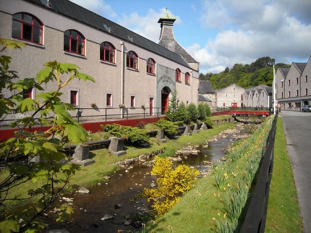
Glen Spey distillery
Glen Spey distillery is a single malt Scotch whisky distillery in Rothes, Moray at the centre of the Speyside whisky producing area of Scotland. ��2�...

Rothes
Rothes (; Scottish Gaelic: Ràthais) is a town in Moray, Scotland, on the banks of the River Spey, 10 miles (16 km) south of Elgin. The town had a population...
Nearby Amenities
Located within 500m of 57.512285,-3.2053807Have you been to Braes of Conerock?
Leave your review of Braes of Conerock below (or comments, questions and feedback).