Rutherhill Wood

Wood, Forest in Morayshire

Scotland

Rutherhill Wood

The Cemetery at Kirkhill This is a very ancient cemetery but there are a few burials from recent times.
The Cemetery at Kirkhill Credit: Ann Harrison

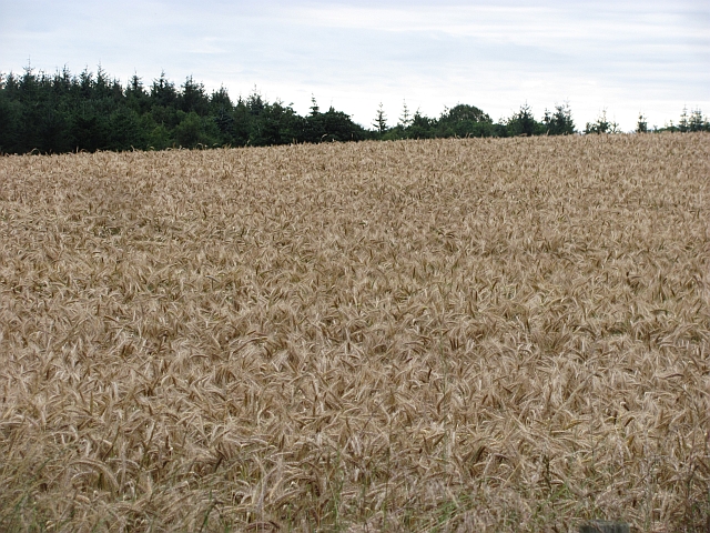
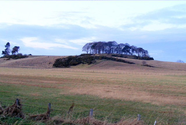
Rutherhill Wood, located in Morayshire, Scotland, is a picturesque forest that spans over a vast area of land. With its serene ambiance and lush greenery, this wood is a haven for nature enthusiasts and those seeking tranquility.

The wood is home to a diverse range of tree species, including oak, birch, and pine, providing a beautiful and varied landscape. The dense canopy of the trees creates a cool and shaded atmosphere, making it an ideal spot for a leisurely stroll during hot summer days.

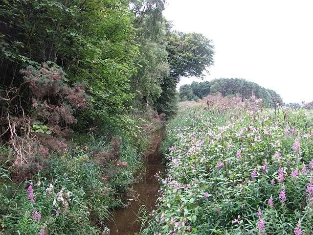
Walking through Rutherhill Wood, visitors can discover a plethora of wildlife. The forest is teeming with various bird species, such as woodpeckers, owls, and thrushes, making it a popular destination for birdwatchers. Additionally, squirrels and rabbits can be spotted scurrying through the undergrowth, adding to the woodland's charm.

For those interested in history, Rutherhill Wood offers a glimpse into the past. The forest contains remnants of ancient settlements, including stone circles and burial mounds, providing a fascinating insight into the lives of our ancestors.

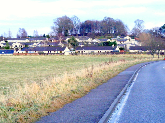
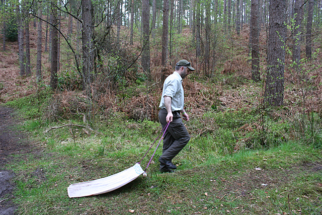
Rutherhill Wood is easily accessible, with well-maintained trails and paths for visitors to explore. The wood offers a range of recreational activities, such as hiking, cycling, and picnicking, making it a favorite destination for families and outdoor enthusiasts alike.

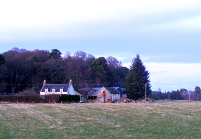
Overall, Rutherhill Wood in Morayshire is a natural gem, offering a peaceful retreat from the bustling city life. Its beauty, wildlife, and historical significance make it a must-visit location for anyone seeking a connection with nature and a glimpse into Scotland's rich heritage.

If you have any feedback on the listing, please let us know in the comments section below.

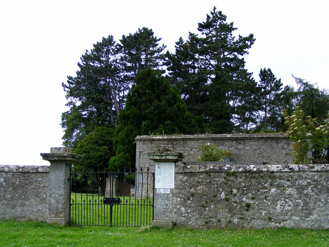
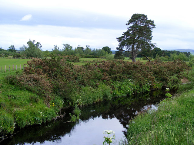
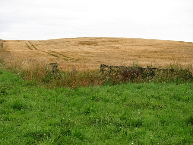
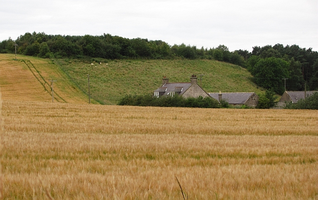
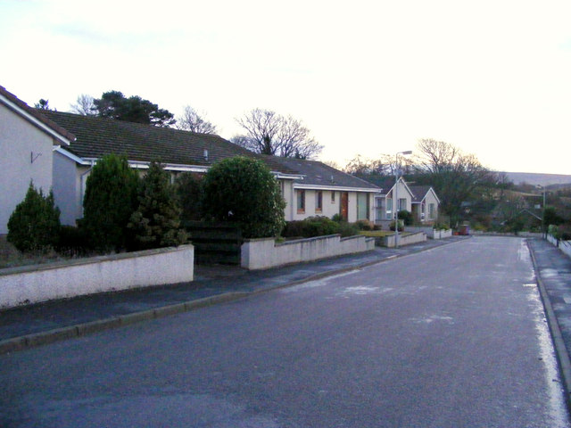
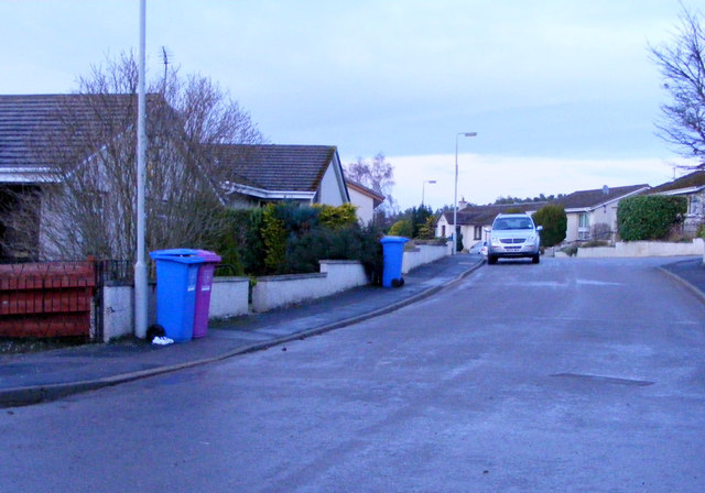
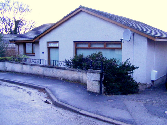
Rutherhill Wood Images

Images are sourced within 2km of 57.652499/-3.2301692 or Grid Reference NJ2663. Thanks to Geograph Open Source API. All images are credited.

The Cemetery at Kirkhill This is a very ancient cemetery but there are a few burials from recent times.
The Cemetery at Kirkhill
This is a very ancient cemetery but there are a few burials from recent times.
The Entrance to Kirkhill Cemetery
The Bridge at Kirkhill Over the river Lossie.
The Bridge at Kirkhill
Over the river Lossie.
The River Lossie at Kirkhill
Barley, Innes Another wide verge designed to improve visibility at a crossroads. It would have been taken from the field growing barley in the background.
Barley, Innes
Another wide verge designed to improve visibility at a crossroads. It would have been taken from the field growing barley in the background.
Barley, Nether Meft Nether Meft is on the other side of the barley field.
Barley, Nether Meft
Nether Meft is on the other side of the barley field.
Field of barley Barley, usually grown for malting is the big crop in this area, as with all of low lying land along the East of Scotland and northeastern England.
Field of barley
Barley, usually grown for malting is the big crop in this area, as with all of low lying land along the East of Scotland and northeastern England.
Longhill Burn Most watercourses in the low lying land behind the dunes have been turned into straight and deep drains. This one is infested with Himalayan Balsam, a rapidly spreading invasive weed.
Longhill Burn
Most watercourses in the low lying land behind the dunes have been turned into straight and deep drains. This one is infested with Himalayan Balsam, a rapidly spreading invasive weed.
Roadside woodland A small oakwood beside the B9103.
Roadside woodland
A small oakwood beside the B9103.
River Lossie Looking downstream from the bridge at Calcots.
River Lossie
Looking downstream from the bridge at Calcots.
Approaching Lhanbryde This village was bypassed in 1995 ,the road was previously part of the A96.
Approaching Lhanbryde
This village was bypassed in 1995 ,the road was previously part of the A96.
Woodside Farm This farm is in close proximity to Lhanbryde village.
Woodside Farm
This farm is in close proximity to Lhanbryde village.
South Darkland Hill
South Darkland Hill
Kirkhill Drive Lhanbryde
Kirkhill Drive Lhanbryde a cul-de-sac with modern bungalows.
Kirkhill Drive Lhanbryde
a cul-de-sac with modern bungalows.
A Dwelling at Kirkhill Drive. Kirkhill drive is a cul-de-sac of modern bungalows, each one different from the rest.
A Dwelling at Kirkhill Drive.
Kirkhill drive is a cul-de-sac of modern bungalows, each one different from the rest.
Gateway to Innes House
I just had to ask ... .... what this man was doing. He explained that he is working for the charity BADA, which is devoted to the prevention of tick-borne diseases. He was using the old towel to collect ticks, and he and his colleagues showed me the dozen or two they had just collected. BADA runs an annual tick awareness week, and offers advice on avoiding tick bites, how to remove ticks if you do get bitten, and on the various diseases the tick can transmit. See <span class="nowrap"><a title="http://www.bada-uk.org/" rel="nofollow ugc noopener" href="http://www.bada-uk.org/">Link</a><img style="margin-left:2px;" alt="External link" title="External link - shift click to open in new window" src="https://s1.geograph.org.uk/img/external.png" width="10" height="10"/></span> for full details.
I just had to ask ...
.... what this man was doing. He explained that he is working for the charity BADA, which is devoted to the prevention of tick-borne diseases. He was using the old towel to collect ticks, and he and his colleagues showed me the dozen or two they had just collected. BADA runs an annual tick awareness week, and offers advice on avoiding tick bites, how to remove ticks if you do get bitten, and on the various diseases the tick can transmit. See LinkExternal link for full details.
Show me another place!

Rutherhill Wood is located at Grid Ref: NJ2663 (Lat: 57.652499, Lng: -3.2301692)

Unitary Authority: Moray

Police Authority: North East

What 3 Words

///brings.forest.calendars. Near Lhanbryde, Moray

Related Wikis

Calcots railway station

Calcots railway station was a railway station in the parish of St Andrews-Lhanbryd, Moray. The railway station was opened by the Great North of Scotland...

RAF Milltown

Royal Air Force Milltown or RAF Milltown is a former Royal Air Force station located south of the Moray Firth and 3.6 miles (5.8 km) north east of Elgin...

Urquhart railway station

Urquhart railway station was a railway station serving the village of Urquhart, parish of Urquhart, Moray. The railway station was opened by the Great...

Urquhart, Moray

Urquhart ( ; Scottish Gaelic: Urchard) is a small village in Moray, Scotland. It is approximately 5 miles (8 km) east of Elgin, between the villages of...

Related Videos

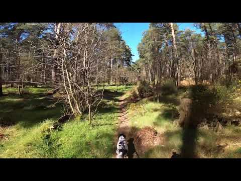
Lhanbryde Woodland Canicross Loop

Me and Orla on our local loop.

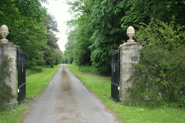
Innes House Wedding Venue - Moray, Scotland

A short guided tour around the forever beautiful Innes House, near Elgin in Moray-shire. It had been a while since we last visited ...

Fochabers Fiddlers play ‘Rory MacLeod’, ‘The Jig o’ Slurs’ and Allan MacPherson of Mosspark.

Fochabers Fiddlers play a set of Jigs - 'Rory MacLeod', 'The Jig o' Slurs' and 'Allan MacPherson of Mosspark' at Innes House.

Brave Hard - Elgin. Even Shorte, Even Better. Seagull spectator!!!

Brave Hard - Scotland - Freedom Even shorter, even better!!! Guys, this time, we testing 350 meters track. I thought I'll be on my ...

Nearby Amenities

Located within 500m of 57.652499,-3.2301692
Power: pole
Lat/Long: 57.6561683/-3.2284862
Power: pole
Lat/Long: 57.6558497/-3.2288123
Power: pole
Lat/Long: 57.6554274/-3.2292211
Power: pole
Lat/Long: 57.6557448/-3.2280373
Power: pole
Lat/Long: 57.6556436/-3.2272338
Power: pole
Lat/Long: 57.6555488/-3.2264588
Power: pole
Lat/Long: 57.6554527/-3.2256506
Power: pole
Lat/Long: 57.6557346/-3.2243675
The data included in this document is from www.openstreetmap.org. The data is made available under ODbL.

Have you been to Rutherhill Wood?

Leave your review of Rutherhill Wood below (or comments, questions and feedback).