Bilston Wood
Wood, Forest in Midlothian
Scotland
Bilston Wood

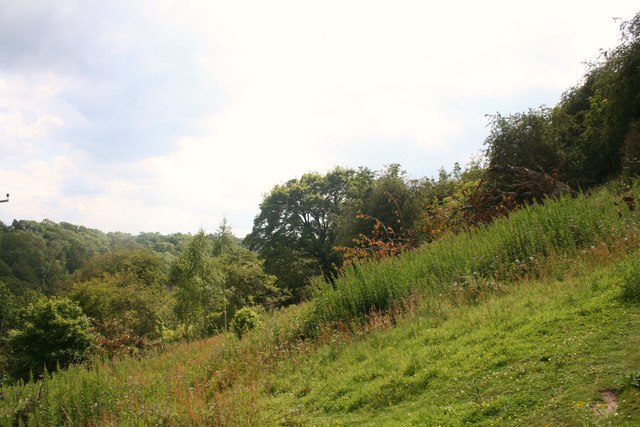
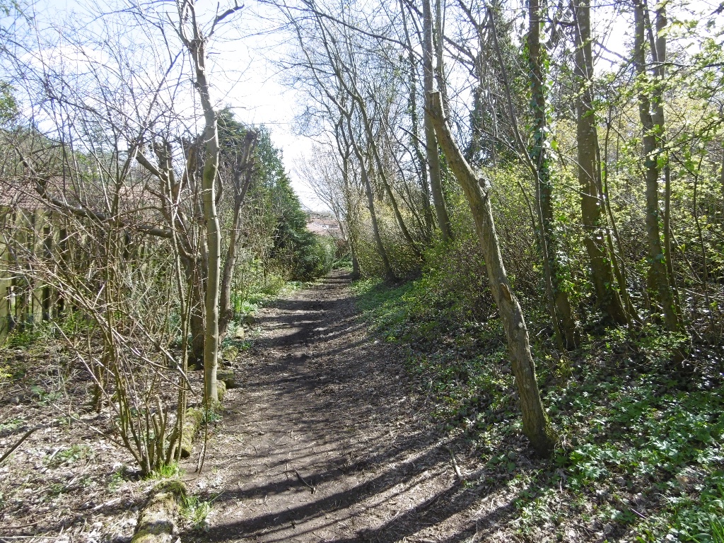
Bilston Wood is a picturesque forest located in Midlothian, Scotland. Covering an area of approximately 250 acres, it is a popular destination for nature enthusiasts and outdoor enthusiasts alike. The wood is situated near the village of Bilston, just a short distance from the city of Edinburgh.
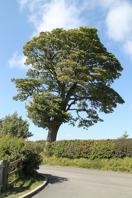
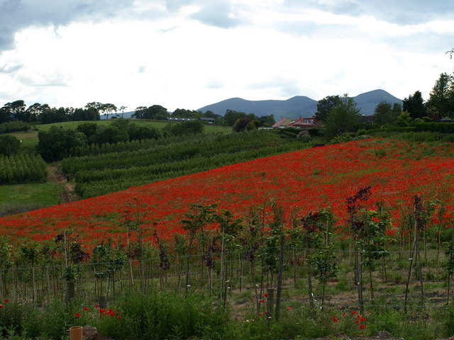
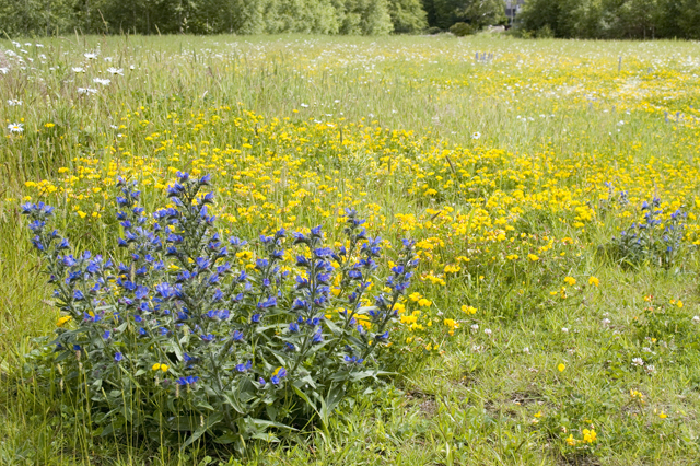
The woodland is characterized by its diverse ecosystem, featuring a variety of tree species such as oak, beech, and birch. These trees create a dense canopy that provides shade and shelter for a wide range of flora and fauna. Wildlife is abundant in Bilston Wood, with sightings of deer, foxes, and numerous bird species being common.
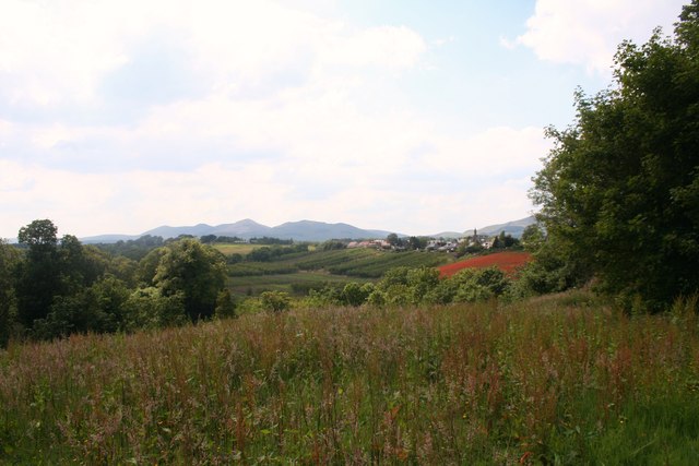
There are several well-maintained trails that wind their way through the forest, making it an ideal location for walking, hiking, and cycling. These paths offer visitors the opportunity to explore the beauty of the wood, providing stunning views of the surrounding countryside.
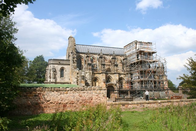
Bilston Wood also has a rich history, with evidence of human activity dating back thousands of years. Archaeological remains, including ancient stone structures and burial mounds, have been discovered within its boundaries. This adds an extra layer of intrigue for those interested in the area's past.
Overall, Bilston Wood is a tranquil and enchanting destination, offering a peaceful retreat from the bustle of everyday life. Whether for a leisurely stroll, a family picnic, or a chance to immerse oneself in nature, this forest has something to offer everyone.
If you have any feedback on the listing, please let us know in the comments section below.
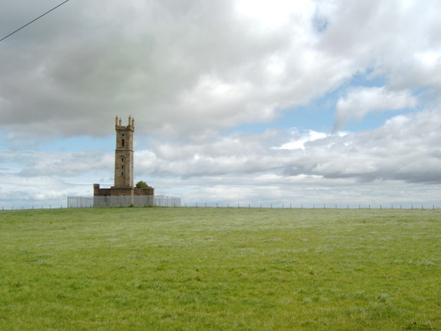
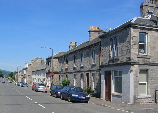
Bilston Wood Images
Images are sourced within 2km of 55.870847/-3.1733182 or Grid Reference NT2664. Thanks to Geograph Open Source API. All images are credited.


Bilston Wood is located at Grid Ref: NT2664 (Lat: 55.870847, Lng: -3.1733182)
Unitary Authority: Midlothian
Police Authority: The Lothians and Scottish Borders
What 3 Words
///crew.expansion.fries. Near Bilston, Midlothian
Nearby Locations
Related Wikis
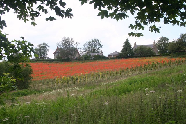
Bilston, Midlothian
Bilston is a small village in Midlothian, Scotland. It is located on the edge of Edinburgh, just south of Loanhead on the A701. The Bilston Burn Site of...

Stewart Brewing
Stewart Brewing is an independent craft brewery based on the outskirts of Edinburgh in Loanhead, Midlothian, Scotland. It was established in 2004 by Steve...
Roslin railway station
Roslin railway station served the village of Roslin, Midlothian, Scotland, from 1874 to 1959 on the Edinburgh, Loanhead and Roslin Railway. == History... ==
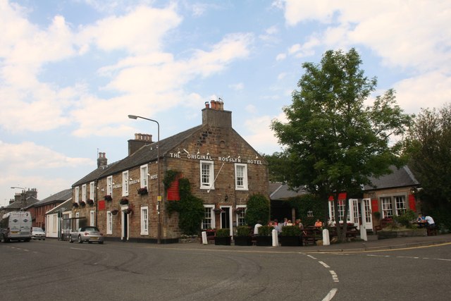
Roslin, Midlothian
Roslin (formerly spelt Rosslyn or Roslyn; Scottish Gaelic: Riasg Linne) is a village in Midlothian, Scotland, 11 kilometres (7 mi) to the south of the...
Nearby Amenities
Located within 500m of 55.870847,-3.1733182Have you been to Bilston Wood?
Leave your review of Bilston Wood below (or comments, questions and feedback).