Ledcrieff Wood

Wood, Forest in Angus

Scotland

Ledcrieff Wood

Smith Loch and Smithton Hill Most of this square is a newly planted conifer plantation, broken up by heathery moorland. The swampy area of Smith Loch is the most prominent 'feature' in the landscape. Hard going.
Smith Loch and Smithton Hill Credit: Aleks Scholz

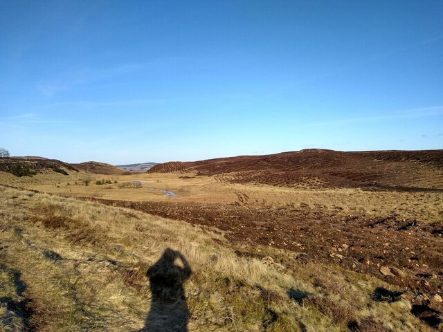
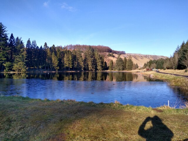
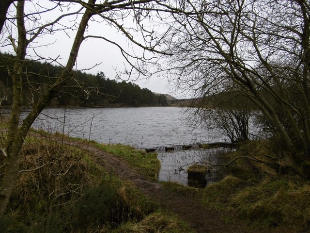
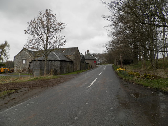
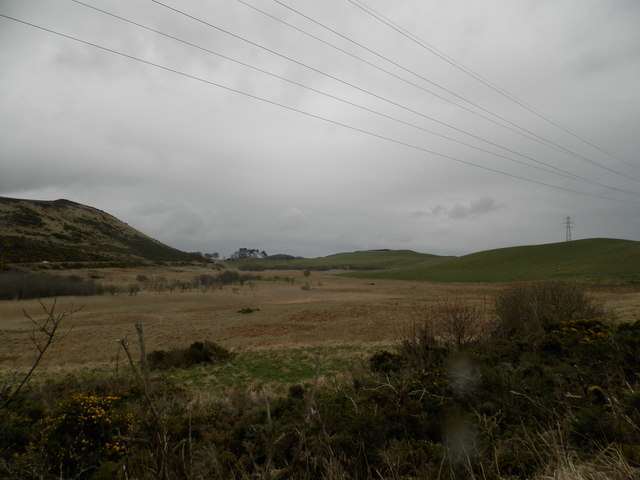
Ledcrieff Wood is a picturesque forest located in Angus, Scotland. Spanning over an area of approximately 200 hectares, it is a popular destination for nature lovers and outdoor enthusiasts. The wood is situated about 4 kilometers north of Kirriemuir, a small town known for its rich history and stunning landscapes.

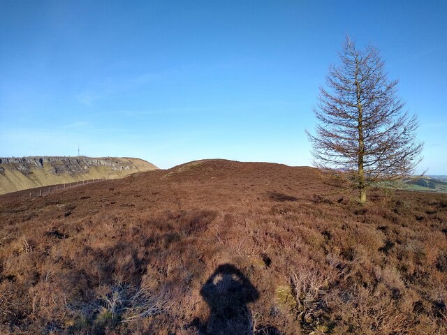
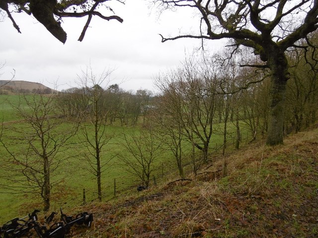
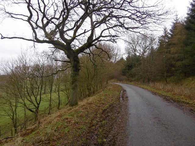
Ledcrieff Wood is predominantly composed of mixed deciduous trees, including oak, beech, and birch, which create a vibrant and diverse ecosystem. The forest floor is adorned with an array of wildflowers, ferns, and mosses, adding to its natural beauty. The wood is also home to various species of birds, mammals, and insects, making it an ideal spot for birdwatching and wildlife observation.

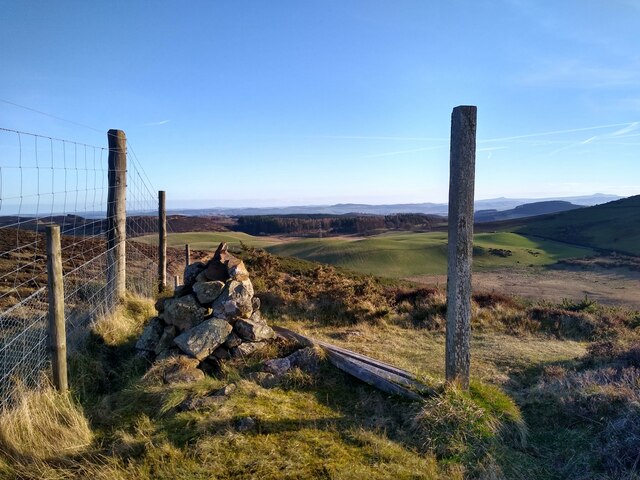
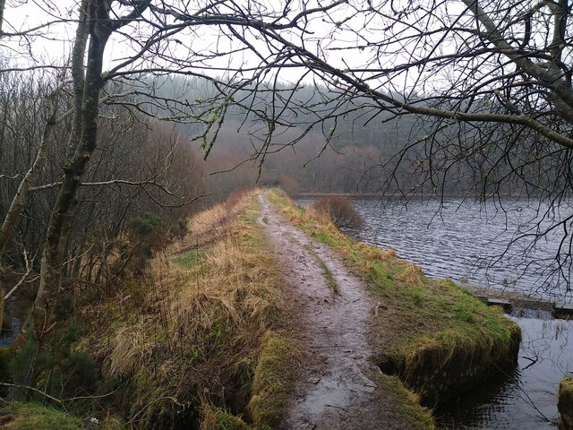
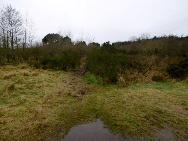
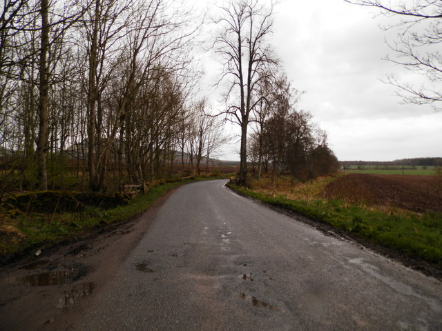
The wood offers several walking trails that cater to different levels of fitness and preferences. These trails wind through the forest, providing visitors with an opportunity to immerse themselves in nature and enjoy peaceful surroundings. The paths are well-maintained and clearly marked, ensuring a safe and enjoyable experience for all.

In addition to its natural charm, Ledcrieff Wood also holds historical significance. The remains of an ancient stone circle can be found within the forest, serving as a reminder of the area's rich cultural heritage.

Overall, Ledcrieff Wood offers a tranquil and enchanting escape from the hustle and bustle of everyday life. Its combination of scenic beauty, diverse wildlife, and historical significance make it a must-visit destination for nature enthusiasts and history buffs alike.

If you have any feedback on the listing, please let us know in the comments section below.

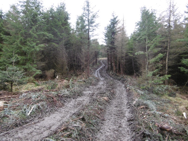
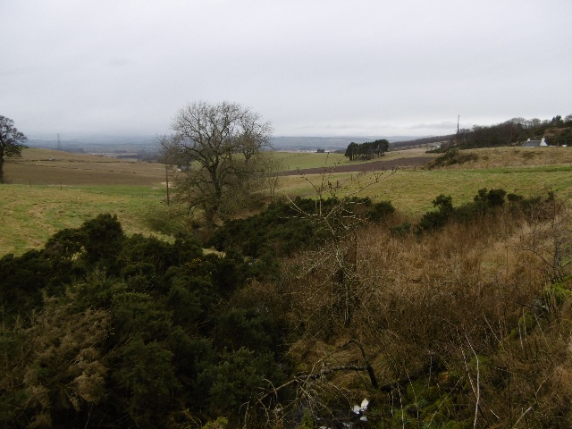
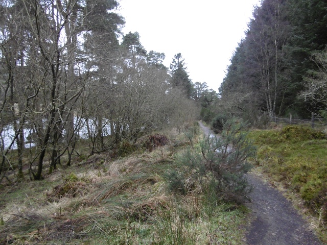
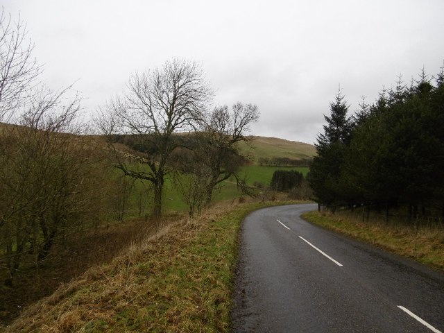
Ledcrieff Wood Images

Images are sourced within 2km of 56.520601/-3.1935375 or Grid Reference NO2637. Thanks to Geograph Open Source API. All images are credited.

Smith Loch and Smithton Hill Most of this square is a newly planted conifer plantation, broken up by heathery moorland. The swampy area of Smith Loch is the most prominent 'feature' in the landscape. Hard going.
Smith Loch and Smithton Hill
Most of this square is a newly planted conifer plantation, broken up by heathery moorland. The swampy area of Smith Loch is the most prominent 'feature' in the landscape. Hard going.
Tullybaccart viewpoint This small cairn marks the highest point of the land around the Tullybaccart quarry. The point is surrounded mostly by tree plantations. This is the view towards the south into Fife - the Lomond hills on the horizon on the right.
Tullybaccart viewpoint
This small cairn marks the highest point of the land around the Tullybaccart quarry. The point is surrounded mostly by tree plantations. This is the view towards the south into Fife - the Lomond hills on the horizon on the right.
Laird's Loch dam This is the western limit of Laird's Loch, on a day with low clouds.
Laird's Loch dam
This is the western limit of Laird's Loch, on a day with low clouds.
This is a path It's hard to tell, but this is a path that branches off the main track to Laird's Loch, and leads towards Ballo Hill. It eventually reaches a fence, but a network of similarly faint and muddy tracks covers the slopes south of the loch.
This is a path
It's hard to tell, but this is a path that branches off the main track to Laird's Loch, and leads towards Ballo Hill. It eventually reaches a fence, but a network of similarly faint and muddy tracks covers the slopes south of the loch.
Ledcrieff Loch The loch seen from the dam at its western edge.
Ledcrieff Loch
The loch seen from the dam at its western edge.
Ardgarth Hill The ridge next to Lundie Craigs is less rock, more heather, and only some isolated trees.
Ardgarth Hill
The ridge next to Lundie Craigs is less rock, more heather, and only some isolated trees.
Old milestone About 6 miles from Coupar Angus along the A923, a minor lane turns off northeastwards towards Lundie.   This milestone is on the right side of the lane before reaching Balshando.   It is only inscribed on one face, LUNDIE/arrow to left ¾ Mile/AUCHTERHOUSE/ arrow to L 5¾ MILES.   There are several similar shaped milestones to the north of Dundee in Angus.
Old milestone
About 6 miles from Coupar Angus along the A923, a minor lane turns off northeastwards towards Lundie. This milestone is on the right side of the lane before reaching Balshando. It is only inscribed on one face, LUNDIE/arrow to left ¾ Mile/AUCHTERHOUSE/ arrow to L 5¾ MILES. There are several similar shaped milestones to the north of Dundee in Angus.
Path to Laird's Loch A muddy narrow path through undergrowth - well used though, I wheeled a bike across and somebody carried an inflatable canoe through a few minutes earlier.
Path to Laird's Loch
A muddy narrow path through undergrowth - well used though, I wheeled a bike across and somebody carried an inflatable canoe through a few minutes earlier.
Laird's Loch Outflow beside the dam.
Laird's Loch
Outflow beside the dam.
Timber tracks The block to the south of Laird's Loch had been recently felled and the timber extracted by this track to a logging road further up Northballo Hill.  Great news as the track to the south of Northballo Hill was undamaged.
Timber tracks
The block to the south of Laird's Loch had been recently felled and the timber extracted by this track to a logging road further up Northballo Hill. Great news as the track to the south of Northballo Hill was undamaged.
Tullybachart A view down the Kettins Burn, or what will become the Kettins Burn from the farm driveway.
Tullybachart
A view down the Kettins Burn, or what will become the Kettins Burn from the farm driveway.
Path beside Laird's Loch After the muddy bit in the Hallyburton Community Wood, a solid surface passing the loch.
Path beside Laird's Loch
After the muddy bit in the Hallyburton Community Wood, a solid surface passing the loch.
Old alignment, A923 The road was rebuilt taking out this bend sometime before 1959 according to old maps. Now this is a yellow road down to Lundie.
Old alignment, A923
The road was rebuilt taking out this bend sometime before 1959 according to old maps. Now this is a yellow road down to Lundie.
Wooded roadside, Balshando Below a road into Lundie, the road is on an old alignment (pre 1959) of the A923.
Wooded roadside, Balshando
Below a road into Lundie, the road is on an old alignment (pre 1959) of the A923.
Minor road near Lundie This road was once the A923 before it was rebuilt further up the hill on the right.
Minor road near Lundie
This road was once the A923 before it was rebuilt further up the hill on the right.
Former farm at Ashley Now a private dwelling.
Former farm at Ashley
Now a private dwelling.
Minor road at Ashley Den
Lochindores, Tullybaccart
Show me another place!

Ledcrieff Wood is located at Grid Ref: NO2637 (Lat: 56.520601, Lng: -3.1935375)

Unitary Authority: Angus

Police Authority: Tayside

What 3 Words

///unfair.leader.partly. Near Coupar Angus, Perth & Kinross

Related Wikis

Pitcur

Pitcur is a hamlet at the eastern edge of Perth and Kinross, Scotland, about 2.5 miles (4.0 km) southeast of Coupar Angus. It is home to the ruined 16th...

Lundie Craigs

Lundie Craigs/Westerkeith Hill is one of the hills of the Sidlaw range in South East Perthshire. Lundie Craigs/Westerkeith Hill is located near Coupar...

Northballo Hill

Northballo Hill is one of the hills of the Sidlaw range in South East Perthshire, and is located near Coupar Angus. It is popular with dog walkers and...

Lundie Kirk

Lundie Kirk was the parish church of Lundie, Angus, in Scotland from the 12th century until 2017. The church was constructed in Romanesque style in the...

Nearby Amenities

Located within 500m of 56.520601,-3.1935375
Power: pole
Lat/Long: 56.5208269/-3.1860966
Power: pole
Lat/Long: 56.5173703/-3.1977426
Power: pole
Lat/Long: 56.5174215/-3.1962353
Power: pole
Lat/Long: 56.5175113/-3.1943857
Power: pole
Lat/Long: 56.5175477/-3.1933959
Power: pole
Lat/Long: 56.5176035/-3.1919051
Power: pole
Lat/Long: 56.5181802/-3.1908597
Power: pole
Lat/Long: 56.5187558/-3.1898307
Power: pole
Lat/Long: 56.5190129/-3.189375
Ford: yes
Lat/Long: 56.5194572/-3.1885983
The data included in this document is from www.openstreetmap.org. The data is made available under ODbL.

Have you been to Ledcrieff Wood?

Leave your review of Ledcrieff Wood below (or comments, questions and feedback).