Elmsley Wood

Wood, Forest in Angus

Scotland

Elmsley Wood

Laird's Loch dam This is the western limit of Laird's Loch, on a day with low clouds.
Laird's Loch dam Credit: Aleks Scholz

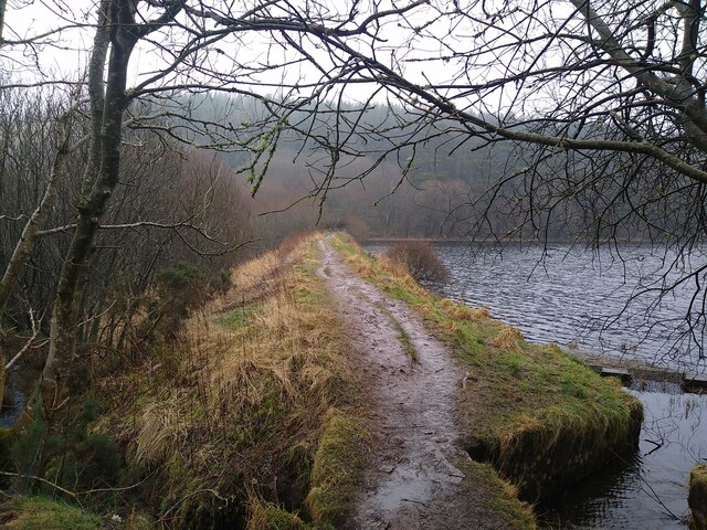
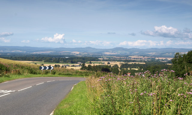
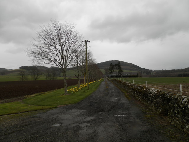
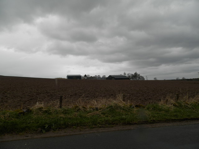
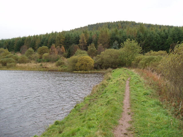
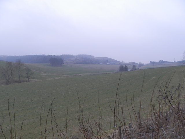
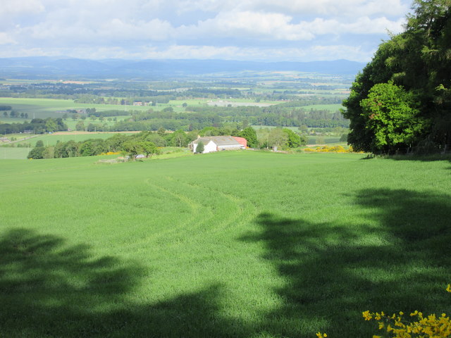
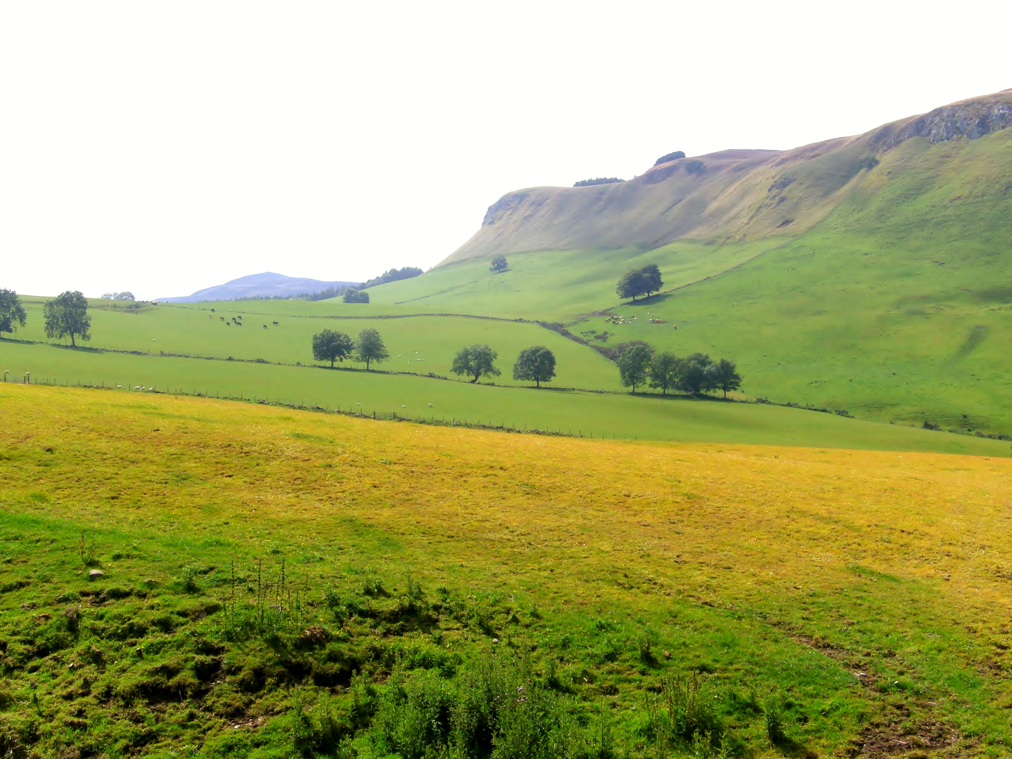
Elmsley Wood is a picturesque forest located in the Angus region of Scotland. Covering an area of approximately 500 acres, it is a popular destination for nature lovers and outdoor enthusiasts. The wood is primarily composed of elm trees, which give it its name, but it also features a diverse range of other tree species, including oak, birch, and beech.

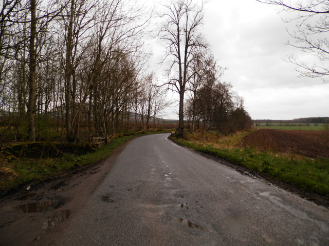
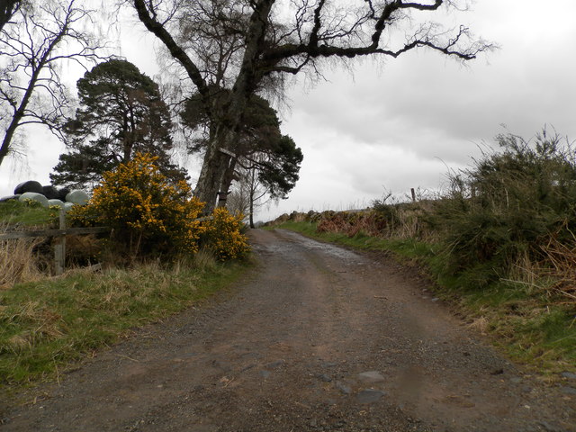
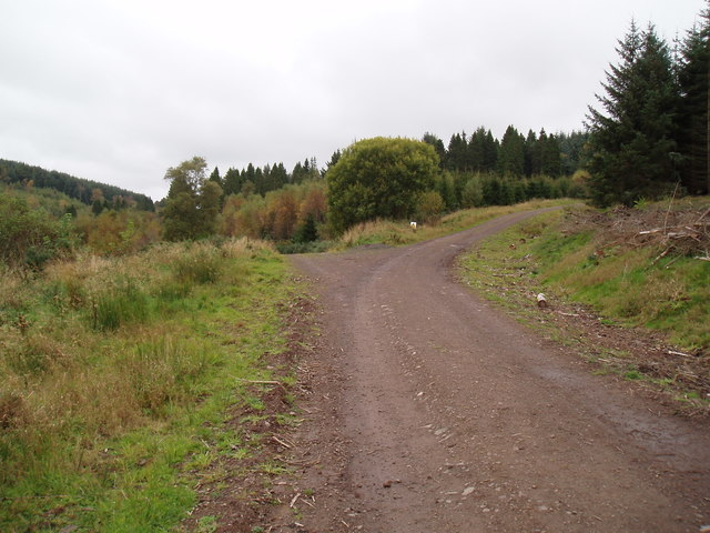
The forest is known for its tranquil atmosphere, providing a peaceful escape from the hustle and bustle of everyday life. It offers a network of well-maintained walking trails, allowing visitors to explore the natural beauty at their own pace. These trails wind through the dense woodland, leading to hidden groves, enchanting clearings, and serene ponds.

Elmsley Wood is home to a wide variety of wildlife, making it a haven for birdwatchers and wildlife enthusiasts. Visitors may spot species such as red squirrels, roe deer, and a variety of bird species, including woodpeckers and owls. The forest also supports a diverse range of plant life, with vibrant wildflowers carpeting the forest floor during the spring and summer months.

For those seeking a more immersive experience, Elmsley Wood offers camping facilities, allowing visitors to spend a night under the starry sky surrounded by nature. Campers can enjoy the peaceful ambiance of the forest and wake up to the gentle sounds of birdsong.

Overall, Elmsley Wood is a stunning natural attraction that offers a true taste of Scotland's rich flora and fauna. Whether one is looking for a leisurely stroll, wildlife spotting, or a camping adventure, this forest provides an ideal setting for a memorable outdoor experience.

If you have any feedback on the listing, please let us know in the comments section below.
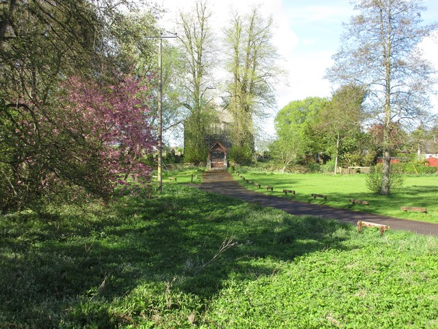
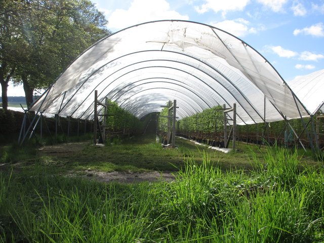
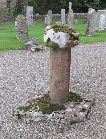
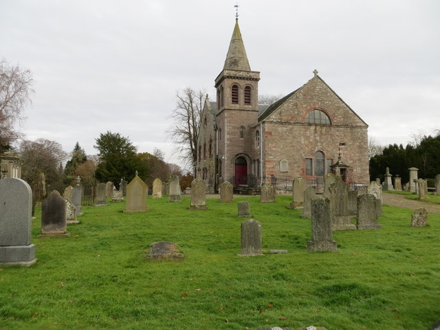
Elmsley Wood Images

Images are sourced within 2km of 56.523476/-3.2249518 or Grid Reference NO2437. Thanks to Geograph Open Source API. All images are credited.

Laird's Loch dam This is the western limit of Laird's Loch, on a day with low clouds.
Laird's Loch dam
This is the western limit of Laird's Loch, on a day with low clouds.
Bend on A923 With a view in the direction of Pitcur and Coupar Angus.
Bend on A923
With a view in the direction of Pitcur and Coupar Angus.
Former farm at Ashley Now a private dwelling.
Former farm at Ashley
Now a private dwelling.
Minor road at Ashley Den
Farm road to Ford of Pitcur
South Gask Farm
South Gask Farm
Track to North Ballo The track continues to Pitcur.
Track to North Ballo
The track continues to Pitcur.
Track on northern edge of Northballo Hill
Footpath on edge of Laird's Loch towards Northballo Hill
Field at Tullybaccart
Remains of Pitcur Castle
Ledcrieff from the east Looking down on Ledcrieff from the track near the loch of the same name.
Ledcrieff from the east
Looking down on Ledcrieff from the track near the loch of the same name.
V-shaped Pine Distinctive scots pine on the road near Lintrose.
V-shaped Pine
Distinctive scots pine on the road near Lintrose.
A923 at Kettins Crossroads The A923 road heading to Dundee from Coupar Angus past the crossroads near Kettins.
A923 at Kettins Crossroads
The A923 road heading to Dundee from Coupar Angus past the crossroads near Kettins.
Roadway to Kettins Church Entrance to the church at Kettins, viewed from near the bridge over the burn.
Roadway to Kettins Church
Entrance to the church at Kettins, viewed from near the bridge over the burn.
Looking up a polytunnel Looking up the last in a long line of polytunnels near the entrance to the Mains of Hallyburton.
Looking up a polytunnel
Looking up the last in a long line of polytunnels near the entrance to the Mains of Hallyburton.
Old Central Cross - moved to Kettins churchyard Kettins Cross, old shaft in the churchyard, in parish of Kettins (Perth & Kinross District), Kettins parish church.

To be surveyed

Milestone Society National ID: PK_KET
Old Central Cross - moved to Kettins churchyard
Kettins Cross, old shaft in the churchyard, in parish of Kettins (Perth & Kinross District), Kettins parish church. To be surveyed Milestone Society National ID: PK_KET
Kettins Parish Church and part of its burial ground Viewed from the south-west.
Kettins Parish Church and part of its burial ground
Viewed from the south-west.
Show me another place!

Elmsley Wood is located at Grid Ref: NO2437 (Lat: 56.523476, Lng: -3.2249518)

Unitary Authority: Perth and Kinross

Police Authority: Tayside

What 3 Words

///decanter.trash.older. Near Coupar Angus, Perth & Kinross

Related Wikis

Pitcur

Pitcur is a hamlet at the eastern edge of Perth and Kinross, Scotland, about 2.5 miles (4.0 km) southeast of Coupar Angus.It is home to the ruined 16th...

Kettins

Kettins is a village in Perth and Kinross, Scotland about 14 miles (23 kilometres) northeast of Perth and 11 miles (18 kilometres) northwest of Dundee...

Northballo Hill

Northballo Hill is one of the hills of the Sidlaw range in South East Perthshire, and is located near Coupar Angus. It is popular with dog walkers and...

Campmuir

Campmuir () is a small village in the Perth and Kinross area of Scotland.Campmuir is located less than 1 mile (2 kilometres) south of the main A94 road...

Gask Hill

Gask Hill is one of the least climbed hills of the Sidlaw range in south east Perthshire, Scotland. Gask Hill is located near Coupar Angus and is seen...

Lundie Craigs

Lundie Craigs/Westerkeith Hill is one of the hills of the Sidlaw range in South East Perthshire.Lundie Craigs/Westerkeith Hill is located near Coupar Angus...

Coupar Angus railway station

Coupar Angus railway station served the town of Coupar Angus, Perth and Kinross, Scotland from 1837 to 1967 on the Scottish Midland Junction Railway....

Coupar Angus F.C.

Coupar Angus Junior Football Club are a Scottish Junior football club based in Coupar Angus, Perth and Kinross. Their home ground is Foxhall Park. Formed...

Nearby Amenities

Located within 500m of 56.523476,-3.2249518
Power: tower
Lat/Long: 56.5211369/-3.2298221
Power: tower
Lat/Long: 56.5194826/-3.2249834
Power: pole
Lat/Long: 56.5208505/-3.2198257
Power: pole
Lat/Long: 56.5206327/-3.2193247
Power: pole
Lat/Long: 56.5227683/-3.2256041
Power: pole
Lat/Long: 56.5229554/-3.2261551
Power: pole
Lat/Long: 56.5232591/-3.226087
Power: pole
Lat/Long: 56.5240422/-3.2325978
Material: wood
Power: pole
Lat/Long: 56.5236714/-3.2310369
Material: wood
Power: pole
Lat/Long: 56.5233006/-3.2295007
Material: wood
Power: pole
Lat/Long: 56.5228957/-3.2277933
Power: pole
Lat/Long: 56.522469/-3.2259742
Power: pole
Lat/Long: 56.5225391/-3.2241528
Power: pole
Lat/Long: 56.5222456/-3.2222805
Power: pole
Lat/Long: 56.5220102/-3.2208145
Power: pole
Lat/Long: 56.5217463/-3.219169
Material: wood
Power: pole
Lat/Long: 56.5219937/-3.2249003
Power: pole
Lat/Long: 56.5216126/-3.2236239
Power: pole
Lat/Long: 56.5196744/-3.2267499
Power: pole
Lat/Long: 56.5199986/-3.2277108
Power: pole
Lat/Long: 56.5203614/-3.228781
Power: pole
Lat/Long: 56.5206981/-3.2297893
Power: pole
Lat/Long: 56.5210246/-3.2307688
Power: pole
Lat/Long: 56.521367/-3.2317957
Power: pole
Lat/Long: 56.5226217/-3.2261208
The data included in this document is from www.openstreetmap.org. The data is made available under ODbL.

Have you been to Elmsley Wood?

Leave your review of Elmsley Wood below (or comments, questions and feedback).