Gallow Bank Wood

Wood, Forest in Peeblesshire

Scotland

Gallow Bank Wood

Sign at Westloch A fairly recent sign on the gate at the road end of the track to Portmore Loch.
Sign at Westloch Credit: Jim Barton

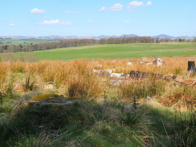
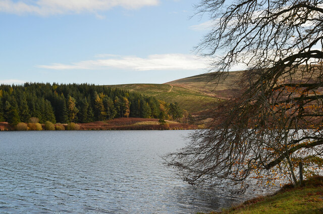
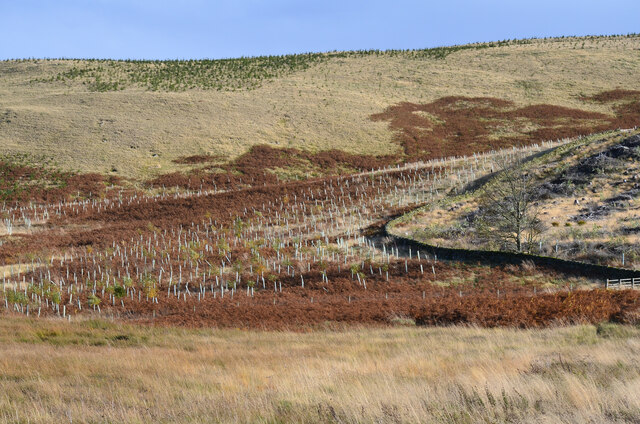
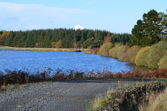
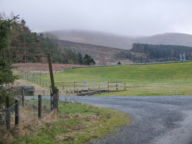
Gallow Bank Wood is a picturesque woodland located in Peeblesshire, Scotland. Covering an area of approximately 15 hectares, it is nestled in the rolling hills and valleys of the beautiful Scottish Borders region. The woodland is situated near the village of Eddleston and is easily accessible by car or on foot.

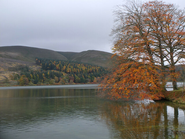
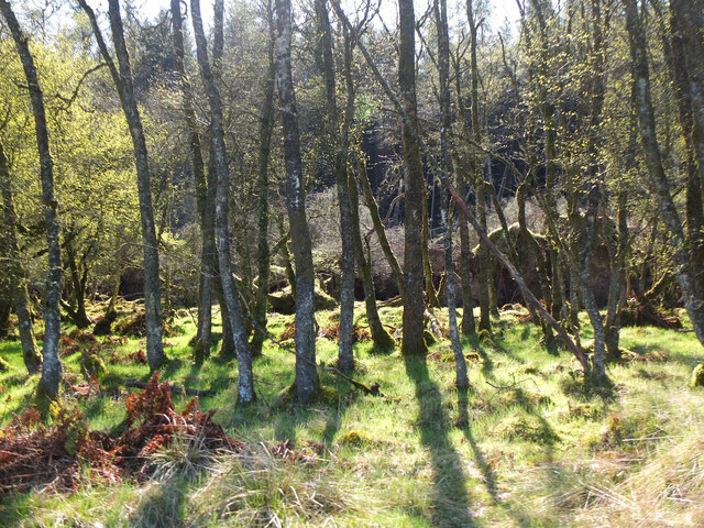
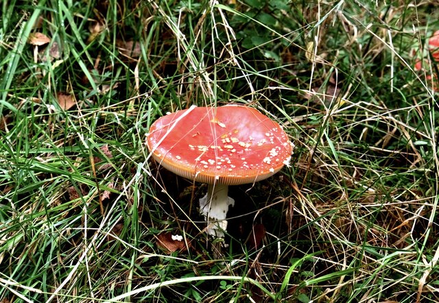
Gallow Bank Wood is predominantly composed of native broadleaf trees, including oak, ash, birch, and beech, which create a dense canopy overhead. The forest floor is adorned with a diverse array of flora, such as bluebells, primroses, and wild garlic, making it a haven for nature enthusiasts and photographers.

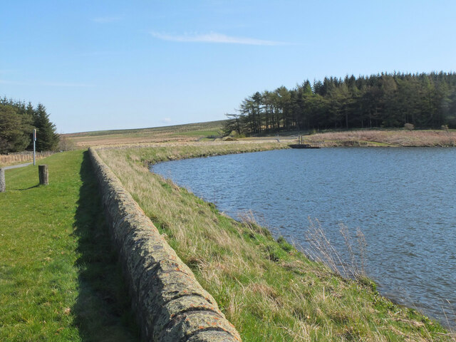
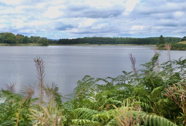
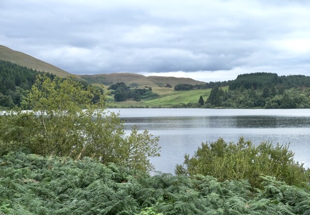
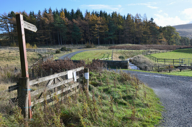
The woodland is crisscrossed by a network of well-maintained footpaths, providing visitors with the opportunity to explore its tranquil surroundings. These paths wind through the trees, leading to open clearings and offering breathtaking panoramic views of the surrounding countryside.

Gallow Bank Wood is a haven for wildlife, providing a habitat for a variety of species. Birdwatchers can spot a range of feathered residents, including woodpeckers, owls, and various songbirds. The woodland is also home to small mammals like red squirrels, badgers, and foxes.

Whether you are seeking a peaceful walk in nature, a chance to observe wildlife, or simply a place to unwind and reconnect with the natural world, Gallow Bank Wood offers a serene and idyllic setting. With its rich biodiversity and stunning landscapes, it is a must-visit destination for nature lovers and outdoor enthusiasts alike.

If you have any feedback on the listing, please let us know in the comments section below.

Gallow Bank Wood Images

Images are sourced within 2km of 55.735003/-3.2001509 or Grid Reference NT2449. Thanks to Geograph Open Source API. All images are credited.

Sign at Westloch A fairly recent sign on the gate at the road end of the track to Portmore Loch.
Sign at Westloch
A fairly recent sign on the gate at the road end of the track to Portmore Loch.
New plantation at Westloch Young conifers by the track to Portmore Loch with the Pentland Hills on the skyline.
New plantation at Westloch
Young conifers by the track to Portmore Loch with the Pentland Hills on the skyline.
Portmore Loch and Dundreich Autumn colours lending interest to the plantations around the loch.
Portmore Loch and Dundreich
Autumn colours lending interest to the plantations around the loch.
Herdwick sheep, Westloch A flock of brown Herdwick sheep, in complete contrast to the blackface sheep more usually encountered in these hills.
Herdwick sheep, Westloch
A flock of brown Herdwick sheep, in complete contrast to the blackface sheep more usually encountered in these hills.
New plantations, Dundreich Part of the extensive new forestry plantations on the slopes of Loch Hill and Dundreich seen from the track south of Westloch.
New plantations, Dundreich
Part of the extensive new forestry plantations on the slopes of Loch Hill and Dundreich seen from the track south of Westloch.
Dam at Portmore Loch The reservoir and fishery below Dundreich.
Dam at Portmore Loch
The reservoir and fishery below Dundreich.
Woodland, Portmore Estate Morning sunlight in the woods west of the loch.
Woodland, Portmore Estate
Morning sunlight in the woods west of the loch.
Felled area, Portmore Estate A clearing by the track west of the loch. The Pentland Hills make up the skyline.
Felled area, Portmore Estate
A clearing by the track west of the loch. The Pentland Hills make up the skyline.
Peeblesshire Fungi (2) Portmore Estate
Peeblesshire Fungi (2)
Portmore Estate
Looking over the Reservoir Portmore Estate, Eddleston
Looking over the Reservoir
Portmore Estate, Eddleston
Portmore Reservoir Viewed from the north. An expanse of 136 acres, it was created in 1878 with an earth embankment. It lies within the Portmore Estate, and is a popular fishing loch, but is operated by Scottish Water to supply the local area.
Portmore Reservoir
Viewed from the north. An expanse of 136 acres, it was created in 1878 with an earth embankment. It lies within the Portmore Estate, and is a popular fishing loch, but is operated by Scottish Water to supply the local area.
Signpost at Portmore Loch The sign pointing to the track on the east side: 'Portmore Loch End 3/4 mile'.
Signpost at Portmore Loch
The sign pointing to the track on the east side: 'Portmore Loch End 3/4 mile'.
Portmore Loch and plantations Mature and new plantations on the east side of the loch or reservoir. Much of the land around Westloch has been planted for forestry quite recently.
Portmore Loch and plantations
Mature and new plantations on the east side of the loch or reservoir. Much of the land around Westloch has been planted for forestry quite recently.
New plantation, Loch Hill Presumably broadleaved trees in the protective tubes with conifers higher up the slope.
New plantation, Loch Hill
Presumably broadleaved trees in the protective tubes with conifers higher up the slope.
Northeast end of Portmore Loch Part of the dam seen from the forestry track.
Northeast end of Portmore Loch
Part of the dam seen from the forestry track.
New plantations near Westloch New trees growing on the lower slopes of Dundreich.
New plantations near Westloch
New trees growing on the lower slopes of Dundreich.
Dam at Portmore Reservoir Cloud is brushing the ridge of Dundreich in the background.
Dam at Portmore Reservoir
Cloud is brushing the ridge of Dundreich in the background.
Track to Westloch The access road from Portmore Loch with the Pentland Hills in the background.
Track to Westloch
The access road from Portmore Loch with the Pentland Hills in the background.
Show me another place!

Gallow Bank Wood is located at Grid Ref: NT2449 (Lat: 55.735003, Lng: -3.2001509)

Unitary Authority: The Scottish Borders

Police Authority: The Lothians and Scottish Borders

What 3 Words

///different.genetics.trample. Near Peebles, Scottish Borders

Nearby Locations

Gallow Bank Wood

Related Wikis

Northshield Rings

Northshield Rings is a prehistoric site, a hillfort near the village of Eddleston and about 6 miles (10 km) north of Peebles, in the Scottish Borders,...

Earlyvale Gate railway station

Earlyvale Gate railway station served the Dundas family residence in Earlyvale, Scottish Borders, Scotland for 8 months (June 1856 - February 1857) on...

Darnhall Mains

Darnhall Mains is a farm and settlement off the A703, near Eddleston and the Eddleston Water in the Scottish Borders area of Scotland, in the former Peeblesshire...

Eddleston

Eddleston (Scottish Gaelic: Baile Ghille Mhoire) is a small village and civil parish in the Scottish Borders area of Scotland. It lies 4 miles (6.4 km...

Black Barony

Barony Castle, also and formerly known as Black Barony, and Darnhall, is a historic house at Eddleston in the Scottish Borders area of Scotland. The house...

Eddleston railway station

Eddleston railway station served the village of Eddleston, Scottish Borders, Scotland from 1855 to 1962 on the Peebles Railway. == History == The station...

Great Polish Map of Scotland

The Great Polish Map of Scotland is a large (50 m x 40 m) three-dimensional, outdoor concrete scale model of Scotland, located in the grounds of the Barony...

Tweeddale

Tweeddale (Scottish Gaelic: Srath Thuaidh/Tuaidhdail) is a committee area and lieutenancy area in the Scottish Borders council area in south-eastern Scotland...

Have you been to Gallow Bank Wood?

Leave your review of Gallow Bank Wood below (or comments, questions and feedback).