Ashley Den

Valley in Angus

Scotland

Ashley Den

Tullybaccart viewpoint This small cairn marks the highest point of the land around the Tullybaccart quarry. The point is surrounded mostly by tree plantations. This is the view towards the south into Fife - the Lomond hills on the horizon on the right.
Tullybaccart viewpoint Credit: Aleks Scholz

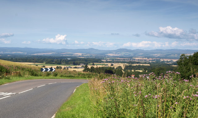
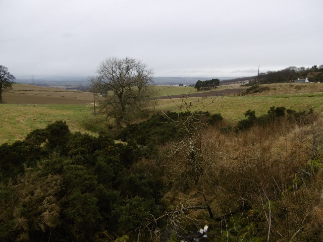
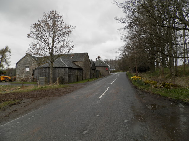
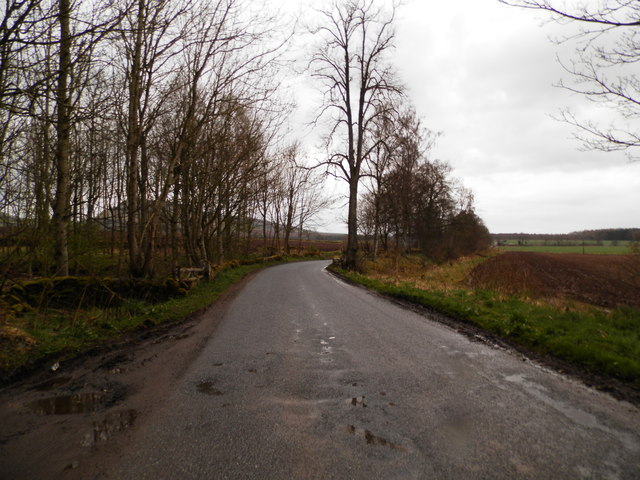
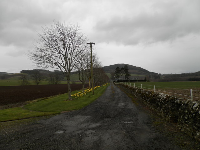
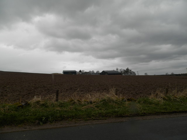
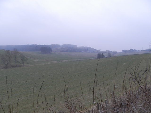
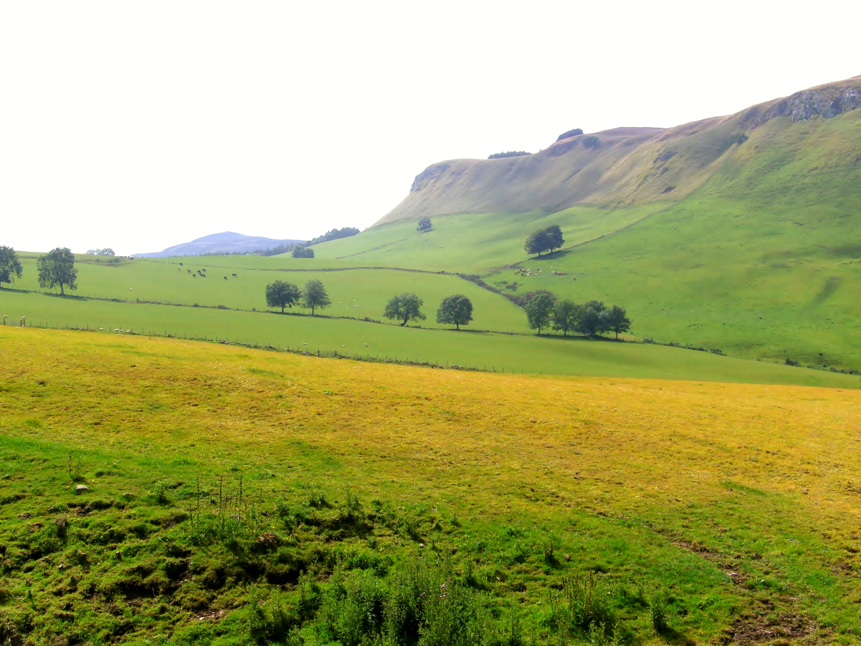
Ashley Den, Angus (Valley) is a small valley located in the county of Angus, Scotland. Situated within the eastern part of the country, it is known for its picturesque landscapes and natural beauty. The valley is nestled between rolling hills, providing a tranquil and idyllic setting for visitors.

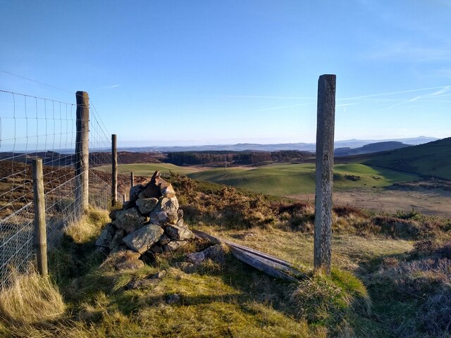
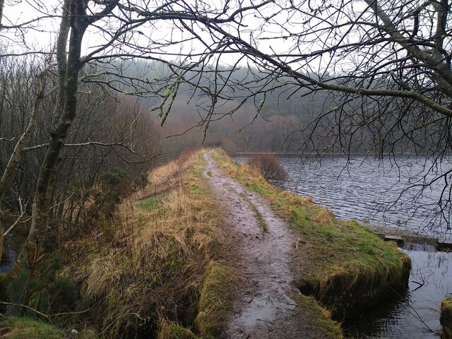
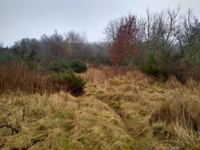
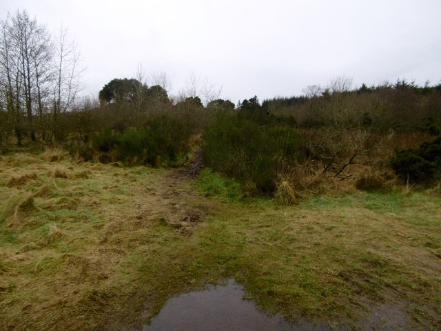
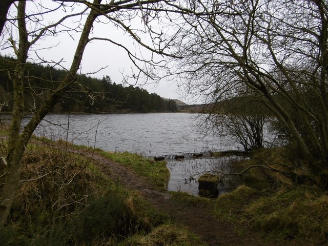
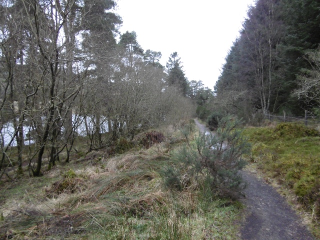
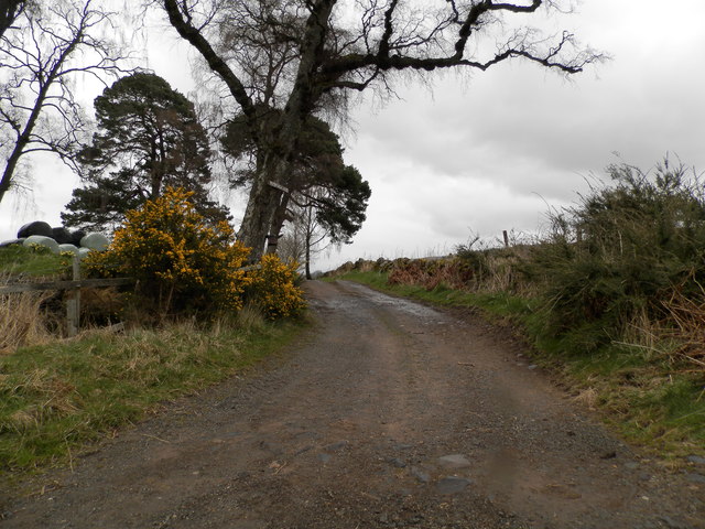
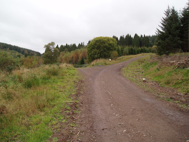
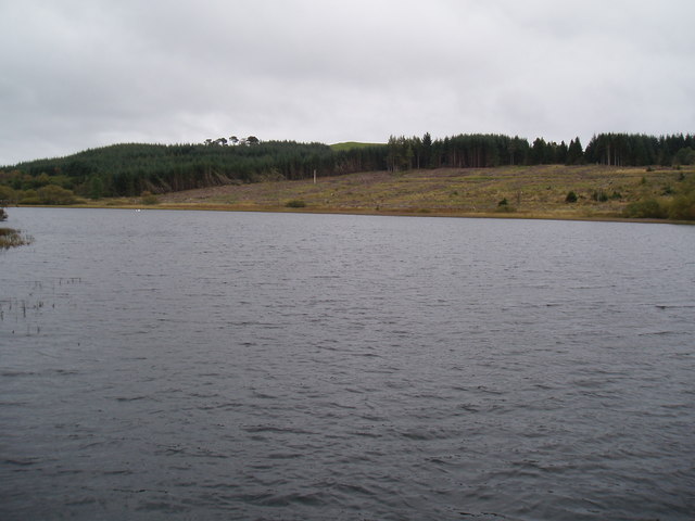
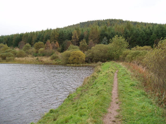
With its lush greenery and scenic views, Ashley Den offers a range of outdoor activities for nature enthusiasts. The valley is home to a diverse range of flora and fauna, making it an ideal spot for birdwatching and wildlife observation. The Den Burn, a small stream that runs through the valley, adds to its charm and provides an opportunity for visitors to enjoy peaceful walks along its banks.

The valley is also famous for its historical significance. It is believed that Ashley Den has been inhabited since ancient times, with remnants of prehistoric settlements and burial sites found in the area. Additionally, there are several standing stones and stone circles scattered throughout the valley, adding an air of mystery and intrigue to its history.

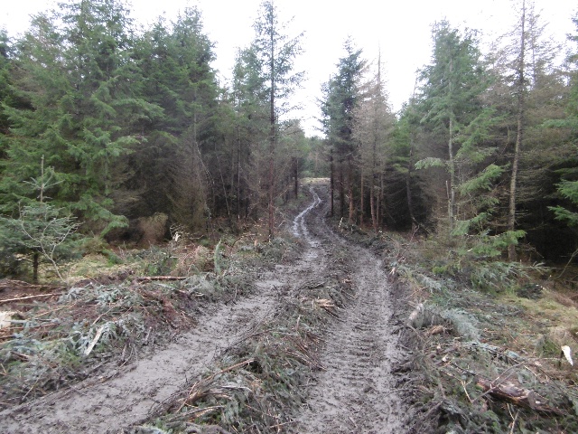
For those seeking adventure, Ashley Den offers various hiking and biking trails that cater to different skill levels. These trails meander through the valley and provide stunning views of the surrounding countryside. There are also picnic areas and designated camping spots, allowing visitors to immerse themselves fully in the natural beauty of the area.

Overall, Ashley Den, Angus (Valley) is a hidden gem in the Scottish countryside, offering a serene and captivating experience for nature lovers and history enthusiasts alike.

If you have any feedback on the listing, please let us know in the comments section below.

Ashley Den Images

Images are sourced within 2km of 56.520562/-3.2216394 or Grid Reference NO2437. Thanks to Geograph Open Source API. All images are credited.

Tullybaccart viewpoint This small cairn marks the highest point of the land around the Tullybaccart quarry. The point is surrounded mostly by tree plantations. This is the view towards the south into Fife - the Lomond hills on the horizon on the right.
Tullybaccart viewpoint
This small cairn marks the highest point of the land around the Tullybaccart quarry. The point is surrounded mostly by tree plantations. This is the view towards the south into Fife - the Lomond hills on the horizon on the right.
Laird's Loch dam This is the western limit of Laird's Loch, on a day with low clouds.
Laird's Loch dam
This is the western limit of Laird's Loch, on a day with low clouds.
This is a path It's hard to tell, but this is a path that branches off the main track to Laird's Loch, and leads towards Ballo Hill. It eventually reaches a fence, but a network of similarly faint and muddy tracks covers the slopes south of the loch.
This is a path
It's hard to tell, but this is a path that branches off the main track to Laird's Loch, and leads towards Ballo Hill. It eventually reaches a fence, but a network of similarly faint and muddy tracks covers the slopes south of the loch.
Bend on A923 With a view in the direction of Pitcur and Coupar Angus.
Bend on A923
With a view in the direction of Pitcur and Coupar Angus.
Path to Laird's Loch A muddy narrow path through undergrowth - well used though, I wheeled a bike across and somebody carried an inflatable canoe through a few minutes earlier.
Path to Laird's Loch
A muddy narrow path through undergrowth - well used though, I wheeled a bike across and somebody carried an inflatable canoe through a few minutes earlier.
Laird's Loch Outflow beside the dam.
Laird's Loch
Outflow beside the dam.
Timber tracks The block to the south of Laird's Loch had been recently felled and the timber extracted by this track to a logging road further up Northballo Hill.  Great news as the track to the south of Northballo Hill was undamaged.
Timber tracks
The block to the south of Laird's Loch had been recently felled and the timber extracted by this track to a logging road further up Northballo Hill. Great news as the track to the south of Northballo Hill was undamaged.
Tullybachart A view down the Kettins Burn, or what will become the Kettins Burn from the farm driveway.
Tullybachart
A view down the Kettins Burn, or what will become the Kettins Burn from the farm driveway.
Path beside Laird's Loch After the muddy bit in the Hallyburton Community Wood, a solid surface passing the loch.
Path beside Laird's Loch
After the muddy bit in the Hallyburton Community Wood, a solid surface passing the loch.
Former farm at Ashley Now a private dwelling.
Former farm at Ashley
Now a private dwelling.
Minor road at Ashley Den
Farm road to Ford of Pitcur
South Gask Farm
South Gask Farm
Track to North Ballo The track continues to Pitcur.
Track to North Ballo
The track continues to Pitcur.
Track on northern edge of Northballo Hill
Laird's Loch, Tullybaccart
Footpath on edge of Laird's Loch towards Northballo Hill
Field at Tullybaccart
Show me another place!

Ashley Den is located at Grid Ref: NO2437 (Lat: 56.520562, Lng: -3.2216394)

Unitary Authority: Perth and Kinross

Police Authority: Tayside

What 3 Words

///seemingly.wager.coffee. Near Coupar Angus, Perth & Kinross

Related Wikis

Pitcur

Pitcur is a hamlet at the eastern edge of Perth and Kinross, Scotland, about 2.5 miles (4.0 km) southeast of Coupar Angus.It is home to the ruined 16th...

Northballo Hill

Northballo Hill is one of the hills of the Sidlaw range in South East Perthshire, and is located near Coupar Angus. It is popular with dog walkers and...

Kettins

Kettins is a village in Perth and Kinross, Scotland about 14 miles (23 kilometres) northeast of Perth and 11 miles (18 kilometres) northwest of Dundee...

Gask Hill

Gask Hill is one of the least climbed hills of the Sidlaw range in south east Perthshire, Scotland. Gask Hill is located near Coupar Angus and is seen...

Campmuir

Campmuir () is a small village in the Perth and Kinross area of Scotland.Campmuir is located less than 1 mile (2 kilometres) south of the main A94 road...

Lundie Craigs

Lundie Craigs/Westerkeith Hill is one of the hills of the Sidlaw range in South East Perthshire.Lundie Craigs/Westerkeith Hill is located near Coupar Angus...

Coupar Angus railway station

Coupar Angus railway station served the town of Coupar Angus, Perth and Kinross, Scotland from 1837 to 1967 on the Scottish Midland Junction Railway....

Coupar Angus F.C.

Coupar Angus Junior Football Club are a Scottish Junior football club based in Coupar Angus, Perth and Kinross. Their home ground is Foxhall Park. Formed...

Nearby Amenities

Located within 500m of 56.520562,-3.2216394
Power: tower
Lat/Long: 56.5194826/-3.2249834
Power: tower
Lat/Long: 56.5181302/-3.221003
Power: pole
Lat/Long: 56.5215325/-3.2174482
Power: pole
Lat/Long: 56.522174/-3.2166193
Power: pole
Lat/Long: 56.5227893/-3.2158357
Power: pole
Lat/Long: 56.5233102/-3.2151986
Power: pole
Lat/Long: 56.521421/-3.2175823
Material: wood
Power: pole
Lat/Long: 56.5209091/-3.2182421
Power: pole
Lat/Long: 56.5204302/-3.2188566
Power: pole
Lat/Long: 56.5198592/-3.2195865
Power: pole
Lat/Long: 56.5208505/-3.2198257
Power: pole
Lat/Long: 56.5206327/-3.2193247
Material: wood
Power: pole
Lat/Long: 56.5203091/-3.2181514
Material: wood
Power: pole
Lat/Long: 56.520188/-3.2174637
Power: pole
Lat/Long: 56.5200685/-3.2167523
Material: wood
Power: pole
Lat/Long: 56.5199491/-3.2161131
Material: wood
Power: pole
Lat/Long: 56.5197477/-3.2149542
Power: pole
Lat/Long: 56.5195555/-3.2138882
Power: pole
Lat/Long: 56.5227683/-3.2256041
Power: pole
Lat/Long: 56.5229554/-3.2261551
Power: pole
Lat/Long: 56.5232591/-3.226087
Material: wood
Power: pole
Lat/Long: 56.5228957/-3.2277933
Power: pole
Lat/Long: 56.522469/-3.2259742
Power: pole
Lat/Long: 56.5225391/-3.2241528
Power: pole
Lat/Long: 56.5222456/-3.2222805
Power: pole
Lat/Long: 56.5220102/-3.2208145
Power: pole
Lat/Long: 56.5217463/-3.219169
Power: pole
Lat/Long: 56.5214835/-3.2175194
Power: pole
Lat/Long: 56.5212094/-3.215779
Power: pole
Lat/Long: 56.5209421/-3.2141336
Material: wood
Power: pole
Lat/Long: 56.5219937/-3.2249003
Power: pole
Lat/Long: 56.5216126/-3.2236239
Power: pole
Lat/Long: 56.5196744/-3.2267499
Power: pole
Lat/Long: 56.5199986/-3.2277108
Power: pole
Lat/Long: 56.5203614/-3.228781
Power: pole
Lat/Long: 56.5206981/-3.2297893
Power: pole
Lat/Long: 56.5185988/-3.2280129
Power: pole
Lat/Long: 56.5191494/-3.2273572
Power: pole
Lat/Long: 56.5226217/-3.2261208
The data included in this document is from www.openstreetmap.org. The data is made available under ODbL.

Have you been to Ashley Den?

Leave your review of Ashley Den below (or comments, questions and feedback).