Glen Damff

Valley in Angus

Scotland

Glen Damff

Finlet Burn Several stages in forest management can be seen in this picture.  The banks of the burn are left unplanted, there is a recent clear fell and a couple of different aged plantings. Looking north towards the high Mounth plateau.
Finlet Burn Credit: Richard Webb

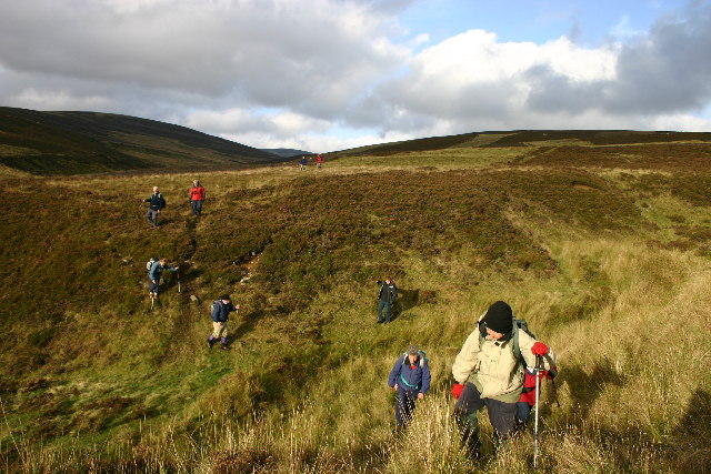
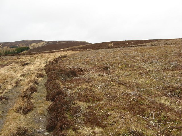
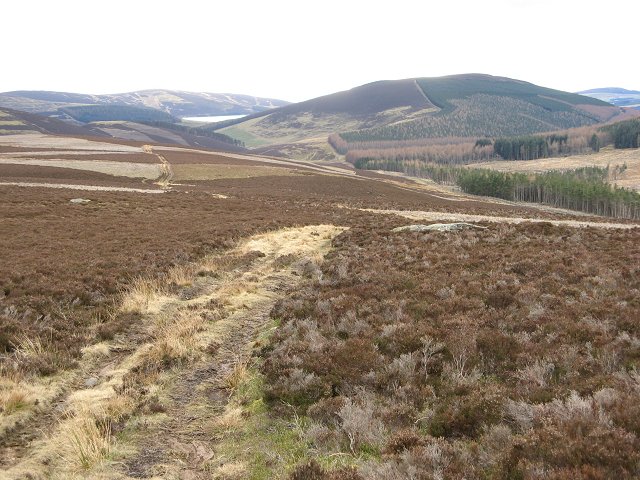
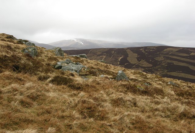
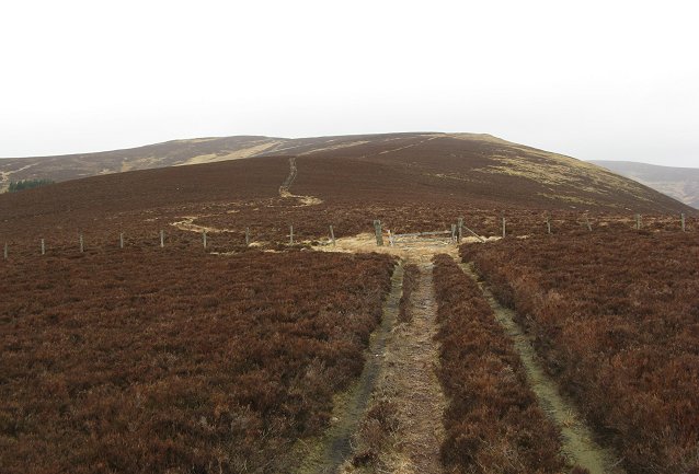
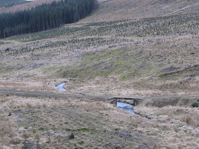
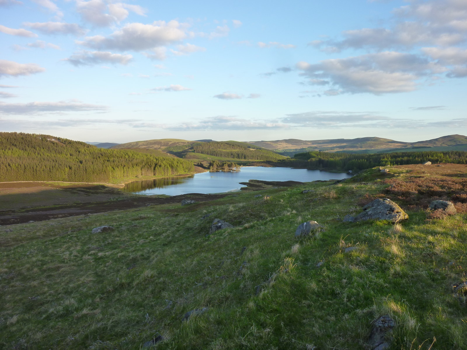
Glen Damff is a picturesque valley located in the Angus region of Scotland. Situated in the eastern part of the country, it is nestled between the gently rolling hills of the Angus Glens. The valley is known for its stunning natural beauty, with lush green landscapes, sparkling streams, and majestic mountains that create a breathtaking backdrop.

The main feature of Glen Damff is the Damff Forest, a dense woodland that covers a significant portion of the valley. The forest is home to a diverse array of flora and fauna, including ancient oak trees, vibrant wildflowers, and various bird species. It offers a tranquil setting for nature enthusiasts and hikers to explore, with several well-marked trails that wind their way through the forest.

The valley is also renowned for its wildlife, with red deer and roe deer often spotted roaming the hillsides. Birdwatchers can catch a glimpse of golden eagles, peregrine falcons, and other birds of prey soaring above the valley. Glen Damff is a haven for outdoor activities, including hiking, cycling, fishing, and wildlife spotting.

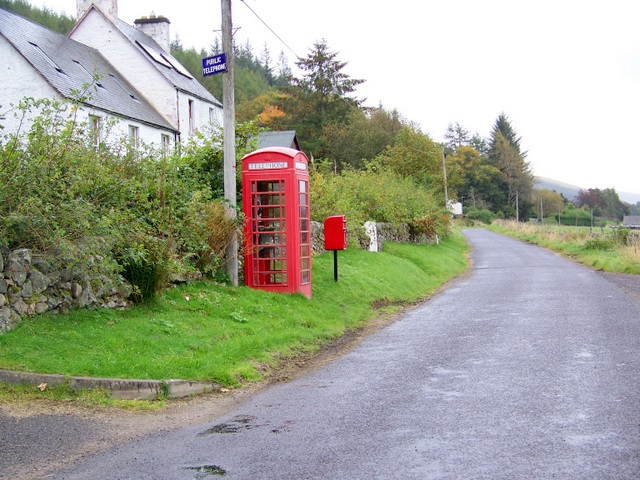
In addition to its natural attractions, Glen Damff has a rich cultural heritage. Ruins of ancient castles and historic sites can be found scattered throughout the valley, offering a glimpse into its past. The nearby towns of Kirriemuir and Forfar provide amenities and accommodations for visitors, making Glen Damff an ideal destination for those seeking a peaceful retreat in the heart of the Angus countryside.

If you have any feedback on the listing, please let us know in the comments section below.

Glen Damff Images

Images are sourced within 2km of 56.777236/-3.2294618 or Grid Reference NO2465. Thanks to Geograph Open Source API. All images are credited.

Finlet Burn Several stages in forest management can be seen in this picture.  The banks of the burn are left unplanted, there is a recent clear fell and a couple of different aged plantings. Looking north towards the high Mounth plateau.
Finlet Burn
Several stages in forest management can be seen in this picture. The banks of the burn are left unplanted, there is a recent clear fell and a couple of different aged plantings. Looking north towards the high Mounth plateau.
Glenmarkie A farm in the midst of the forest. The land here is grazed by sheep and cattle (They are currently using a Limousin bull, so lots of beigy-orange calves). The farm is also an equestrian  centre/guest house, the tracks and moors here are all marked with horseshoes - its ideal country for riding.  The background is the forested slope of Hare Cairn,
Glenmarkie
A farm in the midst of the forest. The land here is grazed by sheep and cattle (They are currently using a Limousin bull, so lots of beigy-orange calves). The farm is also an equestrian centre/guest house, the tracks and moors here are all marked with horseshoes - its ideal country for riding. The background is the forested slope of Hare Cairn,
Glenmarkie Lodge Taken from just outside its square, but a fine example of a Highland Lodge.
Glenmarkie Lodge
Taken from just outside its square, but a fine example of a Highland Lodge.
Glenmarkie Farm Horses grazing beyond the all weather training area. Glenmarkie is a secluded guest house offering riding holidays. The forest relents here allowing easy access to vast areas of moorland.
Glenmarkie Farm
Horses grazing beyond the all weather training area. Glenmarkie is a secluded guest house offering riding holidays. The forest relents here allowing easy access to vast areas of moorland.
Glen Damff
Glen Damff
Kylebank Plantation
Kylebank Plantation
Forest edge, Glenmarkie Edge of large forest block east of Glenmarkie Farm.
Forest edge, Glenmarkie
Edge of large forest block east of Glenmarkie Farm.
Glentaitney Burn Burn just after it emerges from the forest. Last resting place of at least two sheep.
Glentaitney Burn
Burn just after it emerges from the forest. Last resting place of at least two sheep.
Glen Taitney This shallow glen is largely forested, a crop having recently been taken out from this part. The line just above the surviving trees in the middle distance is a leat that once ran to just above Glenmarkie Lodge.
Glen Taitney
This shallow glen is largely forested, a crop having recently been taken out from this part. The line just above the surviving trees in the middle distance is a leat that once ran to just above Glenmarkie Lodge.
Mid  Shank A long gentle ridge running south from Craigie Thieves.  Covered in heather and well populated by grouse. The prominent hill is Hare Cairn.  Blackwater Reservoir can just be seen.
Mid Shank
A long gentle ridge running south from Craigie Thieves. Covered in heather and well populated by grouse. The prominent hill is Hare Cairn. Blackwater Reservoir can just be seen.
Mid Rig Gentle moorland ridge running south from Craigie Thieves. Used as grouse moor and for grazing sheep. Some of the western part of the square is forested.
Mid Rig
Gentle moorland ridge running south from Craigie Thieves. Used as grouse moor and for grazing sheep. Some of the western part of the square is forested.
Mid Rig Gentle moorland ridge running south from Craigie Thieves. Used as grouse moor and for grazing sheep. Some of the western part of the square is forested.

Looking down the ridge towards Hare Cairn and Blackwater Reservoir.
Mid Rig
Gentle moorland ridge running south from Craigie Thieves. Used as grouse moor and for grazing sheep. Some of the western part of the square is forested. Looking down the ridge towards Hare Cairn and Blackwater Reservoir.
Stones, Cairn Daunie A rocky part of the Mid Rig ridge running south from Craig Daunie. Grouse moor with some sheep grazing as well.
Stones, Cairn Daunie
A rocky part of the Mid Rig ridge running south from Craig Daunie. Grouse moor with some sheep grazing as well.
Cairn Daunie Looking up the south ridge
Cairn Daunie
Looking up the south ridge
Finlet Burn The forest has reached the stage where there are lots of different patches of trees at different ages. This produces habitat edges which are good for biodiversity. Given time even forests of introduced conifers lose that sterile appearance of a blanket of uniform trees.
Finlet Burn
The forest has reached the stage where there are lots of different patches of trees at different ages. This produces habitat edges which are good for biodiversity. Given time even forests of introduced conifers lose that sterile appearance of a blanket of uniform trees.
Windthrow, Glen Finlet Shallow rooted larches blown down where they were exposed to winds by felling over the other side of the road.
Windthrow, Glen Finlet
Shallow rooted larches blown down where they were exposed to winds by felling over the other side of the road.
Glen Finlet More felled areas along the glen floor.
Glen Finlet
More felled areas along the glen floor.
Bridge over the Finlet Burn Forest road in newly replanted area.
Bridge over the Finlet Burn
Forest road in newly replanted area.
Show me another place!

Glen Damff is located at Grid Ref: NO2465 (Lat: 56.777236, Lng: -3.2294618)

Unitary Authority: Angus

Police Authority: Tayside

What 3 Words

///racked.laws.palettes. Near Alyth, Perth & Kinross

Nearby Locations

Glen Damff Glen Taitney

Related Wikis

Auchintaple Loch

Auchintaple Loch also known as Auchenchapel Loch, is a small shallow freshwater loch that is located in Glen Isla in Angus, Scotland. == See also == List...

Knockshannoch Lodge

Knockshannoch Lodge is a Category B listed building in the Scottish village of Glenisla, Angus, built around 1888. It is a small, single-storey cottage...

Folda, Angus

Folda is a hamlet in Glen Isla, Angus, Scotland. It is situated on the River Isla, twelve miles north-west of Kirriemuir and eleven miles north of Blairgowrie...

Kirkton of Glenisla

Kirkton of Glenisla consists of a church and graveyard, a hotel, hall and several homes forming the largest concentration of habitation in Glenisla, Angus...

Little Forter

Little Forter is a hamlet in Glen Isla, Angus, Scotland. It is on the River Isla, 13 miles (21 kilometres) north-west of Kirriemuir and 11 miles (18 kilometres...

Forter Castle

Forter Castle is located in Glenisla, Perthshire, Scotland. It was built in 1560 by James Ogilvy, the 5th Lord of Airlie. In 1640, it was burned by Archibald...

Brewlands Bridge

Brewlands Bridge is a hamlet in Glen Isla, Angus, Scotland. It is lies situated on the River Isla, eleven miles north-west of Kirriemuir and ten miles...

Backwater Reservoir

Backwater Reservoir is a reservoir in north west Angus, Scotland. The reservoir's sole purpose is to provide drinking water, and as such, it supplies Angus...

Have you been to Glen Damff?

Leave your review of Glen Damff below (or comments, questions and feedback).