Torbain Moss

Wood, Forest in Fife

Scotland

Torbain Moss

Remains of Carden Den Tower The tower was erected between 1432 and 1532 but has long since disappeared. For more information, see <span class="nowrap"><a title="https://canmore.org.uk/site/52960/carden-tower" rel="nofollow ugc noopener" href="https://canmore.org.uk/site/52960/carden-tower">Link</a><img style="margin-left:2px;" alt="External link" title="External link - shift click to open in new window" src="https://s1.geograph.org.uk/img/external.png" width="10" height="10"/></span>.
Remains of Carden Den Tower Credit: Becky Williamson

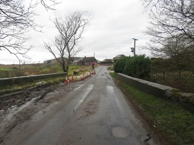
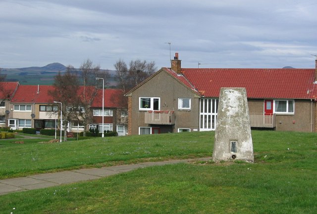
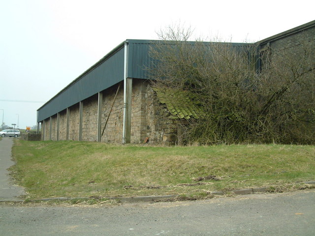
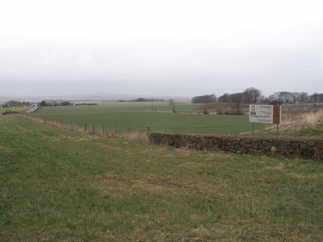
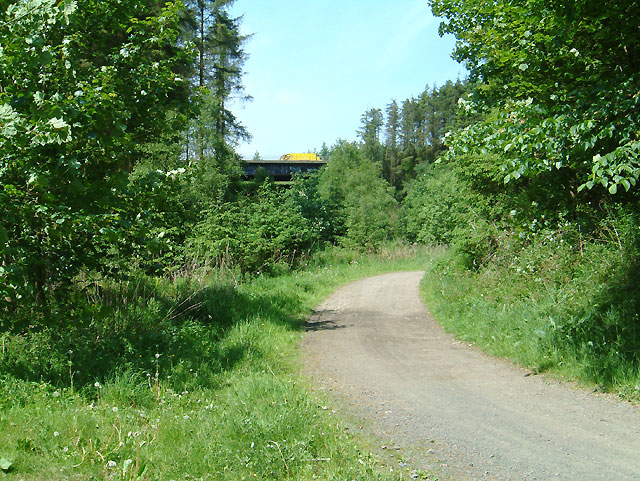
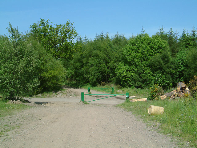
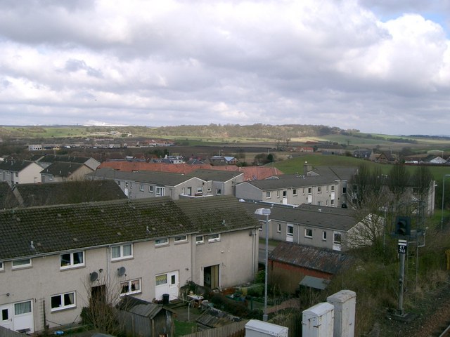
Torbain Moss, located in Fife, Scotland, is a notable natural area characterized by its rich woodlands and abundant forest cover. Covering an area of approximately 200 hectares, the moss is situated in the urban outskirts of Dunfermline. The site is of significant ecological importance due to its diverse range of habitats, which support various plant and animal species.

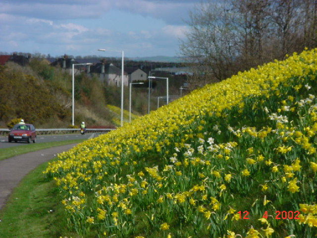
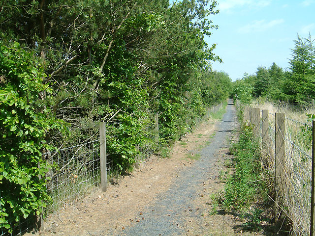
The woodlands of Torbain Moss consist of a mix of broadleaf and coniferous trees, creating a picturesque landscape. The forest is mainly composed of native species such as oak, birch, and Scots pine, which provide a suitable habitat for numerous bird species, including woodpeckers, owls, and various songbirds. The moss is also home to a rich variety of mammals, including red squirrels, foxes, and deer.

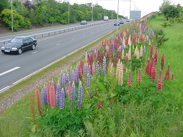
Additionally, Torbain Moss is renowned for its wetland areas, which are formed by a network of streams and ponds. These wetlands support a diverse range of aquatic plants and animals, including water lilies, dragonflies, and frogs. The presence of these wetlands contributes to the overall biodiversity of the area.

Torbain Moss attracts nature enthusiasts, hikers, and birdwatchers who enjoy exploring its tranquil trails and observing the local wildlife. The site is well maintained, with designated paths and viewing points to accommodate visitors. The local authorities also organize educational programs and guided tours to raise awareness about the importance of preserving this unique natural resource.

Overall, Torbain Moss in Fife offers a captivating woodlands and forest ecosystem, showcasing the beauty and diversity of Scotland's natural landscapes.

If you have any feedback on the listing, please let us know in the comments section below.
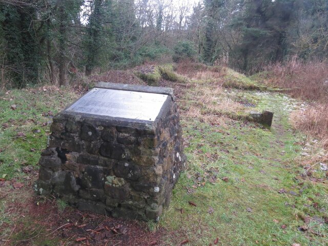
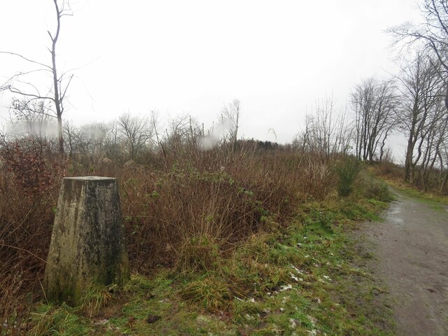
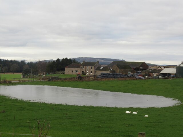
Torbain Moss Images

Images are sourced within 2km of 56.130894/-3.2295583 or Grid Reference NT2393. Thanks to Geograph Open Source API. All images are credited.

Remains of Carden Den Tower The tower was erected between 1432 and 1532 but has long since disappeared. For more information, see <span class="nowrap"><a title="https://canmore.org.uk/site/52960/carden-tower" rel="nofollow ugc noopener" href="https://canmore.org.uk/site/52960/carden-tower">Link</a><img style="margin-left:2px;" alt="External link" title="External link - shift click to open in new window" src="https://s1.geograph.org.uk/img/external.png" width="10" height="10"/></span>.
Remains of Carden Den Tower
The tower was erected between 1432 and 1532 but has long since disappeared. For more information, see LinkExternal link.
Trigpoint, Keir Brae
Rivet benchmark, Shawsmill Bridge Ordnance Survey rivet benchmark, described on database at <span class="nowrap"><a title="https://www.bench-marks.org.uk/bm147452" rel="nofollow ugc noopener" href="https://www.bench-marks.org.uk/bm147452">Link</a><img style="margin-left:2px;" alt="External link" title="External link - shift click to open in new window" src="https://s1.geograph.org.uk/img/external.png" width="10" height="10"/></span>. See also <a href="https://www.geograph.org.uk/photo/7007009">NT2293 : Shawsmill Bridge, near Cardenden</a>.
Rivet benchmark, Shawsmill Bridge
Ordnance Survey rivet benchmark, described on database at LinkExternal link. See also NT2293 : Shawsmill Bridge, near Cardenden.
Flooded field at Cardenbarns With three Mute Swans in the foreground.
Flooded field at Cardenbarns
With three Mute Swans in the foreground.
Shawsmill Bridge, near Cardenden There is an Ordnance Survey rivet benchmark on this bridge, which spans the Gelly Burn. See <a href="https://www.geograph.org.uk/photo/7005707">NT2293 : Rivet benchmark, Shawsmill Bridge</a>.
Shawsmill Bridge, near Cardenden
There is an Ordnance Survey rivet benchmark on this bridge, which spans the Gelly Burn. See NT2293 : Rivet benchmark, Shawsmill Bridge.
Benchmark, Sunnyside Plantation near Cardenden This Ordnance Survey benchmark took a lot of finding. It was hidden beneath moss and brambles on an old and crumbling wall away from the main path through the woods. It is described on the database at <span class="nowrap"><a title="https://www.bench-marks.org.uk/bm147454" rel="nofollow ugc noopener" href="https://www.bench-marks.org.uk/bm147454">Link</a><img style="margin-left:2px;" alt="External link" title="External link - shift click to open in new window" src="https://s1.geograph.org.uk/img/external.png" width="10" height="10"/></span>.
Benchmark, Sunnyside Plantation near Cardenden
This Ordnance Survey benchmark took a lot of finding. It was hidden beneath moss and brambles on an old and crumbling wall away from the main path through the woods. It is described on the database at LinkExternal link.
Electric vehicle charging point In the car park of the Spiral Weave, Kirkcaldy. This one also offers an airline for inflating tyres.
The vehicle with 'St Andrews Shuttle' on its side is an airport taxi.
Electric vehicle charging point
In the car park of the Spiral Weave, Kirkcaldy. This one also offers an airline for inflating tyres. The vehicle with 'St Andrews Shuttle' on its side is an airport taxi.
Electric vehicle charging point In the car park of the Spiral Weave, Kirkcaldy. This one also offers an airline for inflating tyres.
Electric vehicle charging point
In the car park of the Spiral Weave, Kirkcaldy. This one also offers an airline for inflating tyres.
Chapel, Kirkcaldy Once this was Bogie Mains farm, that's when the pillar would have been built. It survived the big housing expansion on the north west of Kirkcaldy and now sits on its hill top just by a bus stop.
Chapel, Kirkcaldy
Once this was Bogie Mains farm, that's when the pillar would have been built. It survived the big housing expansion on the north west of Kirkcaldy and now sits on its hill top just by a bus stop.
Kirkcaldy : Chapel : A910: Lupins flowering The second season of the lupins flowering. These were planted as part of the road dualling. They provide a burst of colour during June. It will be interesting to see how long they flower and if they naturalise.
Kirkcaldy : Chapel : A910: Lupins flowering
The second season of the lupins flowering. These were planted as part of the road dualling. They provide a burst of colour during June. It will be interesting to see how long they flower and if they naturalise.
Kirkcaldy : Wester Bogie Road : Daffodils 300,000 daffodils in full bloom, planted in November 2001. Planted at a density of 30 bulbs per metre square, to give this intense effect.
Kirkcaldy : Wester Bogie Road : Daffodils
300,000 daffodils in full bloom, planted in November 2001. Planted at a density of 30 bulbs per metre square, to give this intense effect.
Kirkcaldy : Torbain Farm from Torbain Road looking towards the Tower at the Farm. The Tower is a schedule B listed monument.
Kirkcaldy : Torbain Farm
from Torbain Road looking towards the Tower at the Farm. The Tower is a schedule B listed monument.
Dothan Farm Viewed from the north
Dothan Farm
Viewed from the north
Clunie roundabout Mini roundabout at Clunie road junction, viewed from the south
Clunie roundabout
Mini roundabout at Clunie road junction, viewed from the south
The Begg Farm OCCS Looking east from near Dothan Farm, The Begg Farm is not really a farm anymore but an open cast coal pit.  <span class="nowrap"><a title="http://www.ihbrown.com/CoalMining.aspx" rel="nofollow ugc noopener" href="http://www.ihbrown.com/CoalMining.aspx">Link</a><img style="margin-left:2px;" alt="External link" title="External link - shift click to open in new window" src="https://s1.geograph.org.uk/img/external.png" width="10" height="10"/></span>
The Begg Farm OCCS
Looking east from near Dothan Farm, The Begg Farm is not really a farm anymore but an open cast coal pit. LinkExternal link
New path Maps can only show what was on the ground at the time they were made.  This new section of footpath runs alongside the A92 and connects the path shown in <a href="https://www.geograph.org.uk/photo/184926">NT2193 : Footpath to ???</a> with the minor road going north to Cardenden.
New path
Maps can only show what was on the ground at the time they were made. This new section of footpath runs alongside the A92 and connects the path shown in NT2193 : Footpath to ??? with the minor road going north to Cardenden.
Carden Den A footpath leaves the minor road at Shawsmill to join this track which passes under the A92 and leads to the village of Cardenden. See <a href="https://www.geograph.org.uk/gridref/NT2194">NT2194</a>
Carden Den
A footpath leaves the minor road at Shawsmill to join this track which passes under the A92 and leads to the village of Cardenden. See NT2194
Crossing A crossing of two forest tracks in the Tullylumb Plantation
Crossing
A crossing of two forest tracks in the Tullylumb Plantation
Show me another place!

Torbain Moss is located at Grid Ref: NT2393 (Lat: 56.130894, Lng: -3.2295583)

Unitary Authority: Fife

Police Authority: Fife

What 3 Words

///alpha.smirking.acoustics. Near Cardenden, Fife

Related Wikis

Cardenden

Cardenden ( ) is a Scottish town located on the south bank of the River Ore in the parish of Auchterderran, Fife. It is approximately 4 miles (6.4 km)...

Dundonald Bluebell F.C.

Dundonald Bluebell Football Club are a Scottish football club based in Cardenden, Fife. The team plays in the East of Scotland League Premier Division...

Cardenden railway station

Cardenden railway station is a railway station in Cardenden, Fife, Scotland. The station is managed by ScotRail and is on the Fife Circle Line, 27 miles...

Raith, Fife

Raith (Scottish Gaelic: rĂ th, "fort" or "fortified residence"), as an area of Fife, once stretched from the lands of Little Raith (earlier Wester Raith...

Auchterderran

Auchterderran () is a village in Fife, Scotland. It is sometimes thought as part of the larger village, Cardenden, although Cardenden is part of the parish...

Battle of Raith

The Battle of Raith was the theory of E. W. B. Nicholson, librarian at the Bodleian Library, Oxford. He was aware of the poem Y Gododdin in the Book of...

A921 road

The A921 road is a road that connects Kirkcaldy with the M90 motorway in Fife, Scotland. Before 1990, the road was classed as the A92. == References ==

Driftland

Driftland is a purpose-built race track for drifting inspired by the drift tracks of Japan at the Lochgelly Motorsport Complex, Fife, Scotland. The facility...

Nearby Amenities

Located within 500m of 56.130894,-3.2295583
Power: pole
Lat/Long: 56.1282537/-3.2242203
Power: pole
Lat/Long: 56.1292145/-3.2240121
Power: pole
Lat/Long: 56.130374/-3.2237836
Power: pole
Lat/Long: 56.1314916/-3.2235341
Power: pole
Lat/Long: 56.1323076/-3.2242737
Material: wood
Power: pole
Lat/Long: 56.1331129/-3.2250327
Material: wood
Power: pole
Lat/Long: 56.1339448/-3.2257423
Power: pole
Lat/Long: 56.1268852/-3.226397
Power: pole
Lat/Long: 56.1274159/-3.2253751
Power: pole
Lat/Long: 56.1279675/-3.2243183
Power: pole
Lat/Long: 56.1285236/-3.2232723
Tullylumb Plantation
Natural: wood
Lat/Long: 56.133456/-3.2313143
Torbain Moss
Natural: wood
Lat/Long: 56.1312101/-3.2293907
The data included in this document is from www.openstreetmap.org. The data is made available under ODbL.

Have you been to Torbain Moss?

Leave your review of Torbain Moss below (or comments, questions and feedback).