Shawsmill Plantation

Wood, Forest in Fife

Scotland

Shawsmill Plantation

Remains of Carden Den Tower The tower was erected between 1432 and 1532 but has long since disappeared. For more information, see <span class="nowrap"><a title="https://canmore.org.uk/site/52960/carden-tower" rel="nofollow ugc noopener" href="https://canmore.org.uk/site/52960/carden-tower">Link</a><img style="margin-left:2px;" alt="External link" title="External link - shift click to open in new window" src="https://s1.geograph.org.uk/img/external.png" width="10" height="10"/></span>.
Remains of Carden Den Tower Credit: Becky Williamson

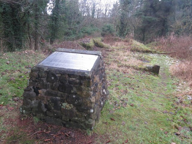
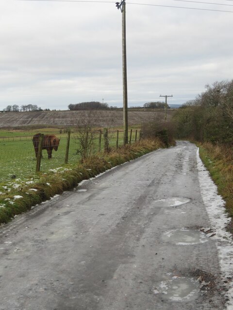
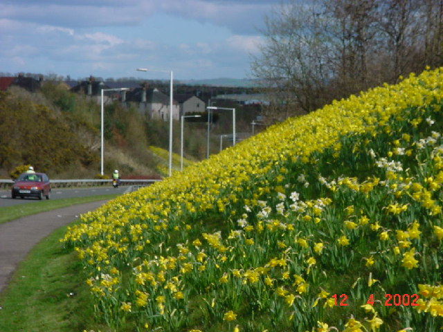
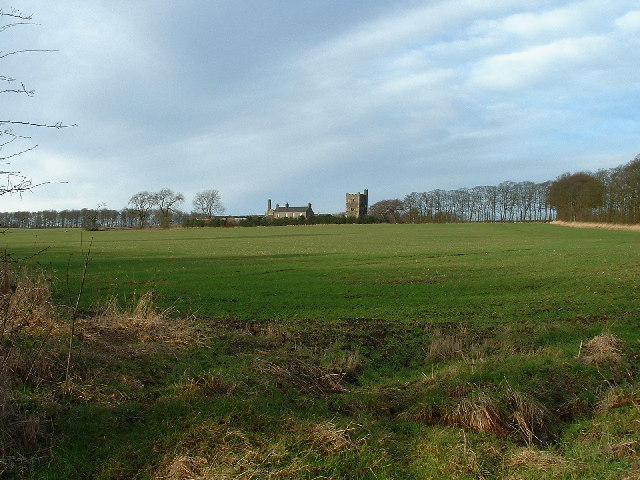
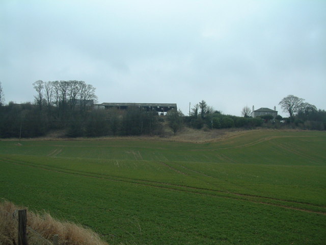
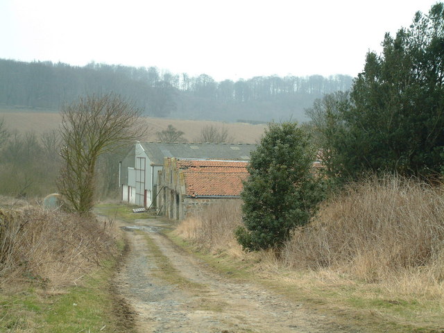
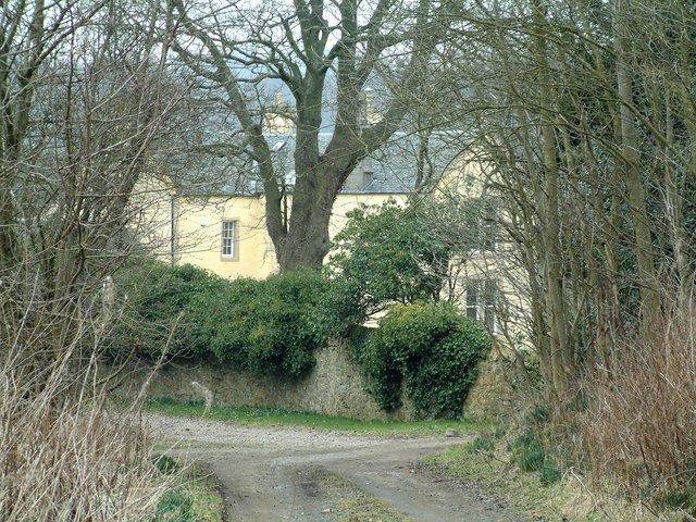
Shawsmill Plantation, located in Fife, Scotland, is a sprawling woodland that stretches across a vast area of approximately 100 acres. This picturesque plantation is nestled amidst the rolling hills and lush countryside of Fife, offering a serene and tranquil environment for visitors to enjoy.

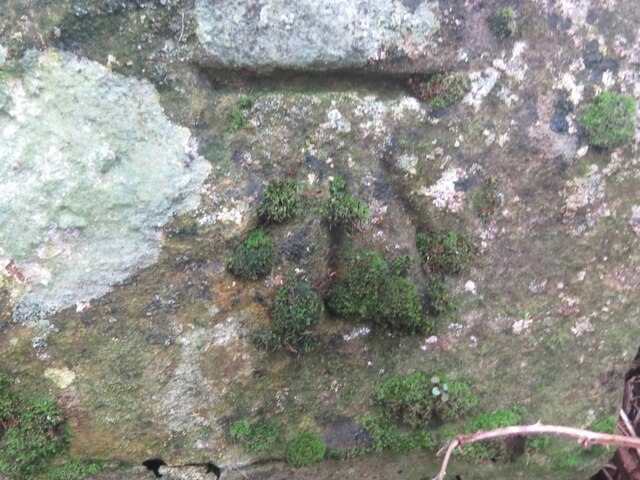
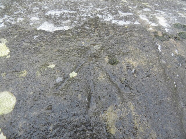
The plantation predominantly comprises a diverse range of woodland, featuring a variety of tree species such as oak, birch, beech, and pine. These towering trees create a dense canopy that provides shade and shelter to an array of wildlife, making it a haven for nature enthusiasts and birdwatchers. The woodland floor is also adorned with a carpet of ferns, wildflowers, and moss, adding to the plantation's natural beauty.

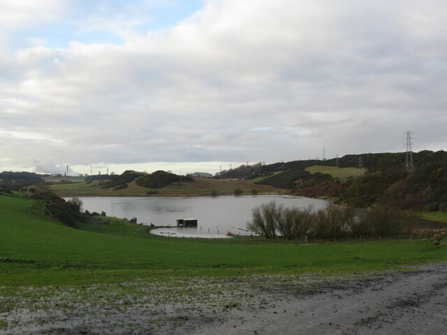
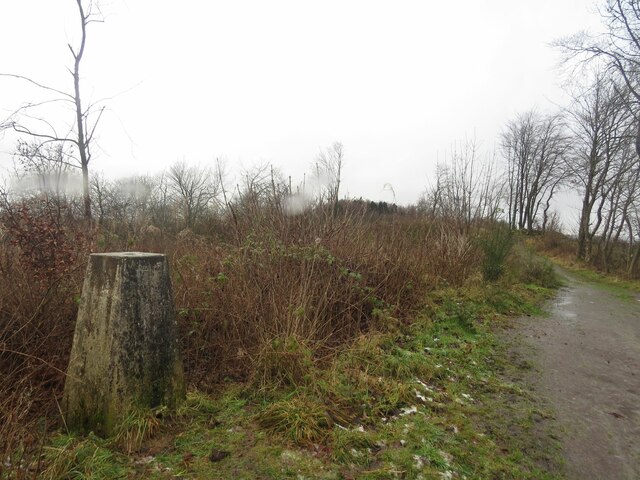
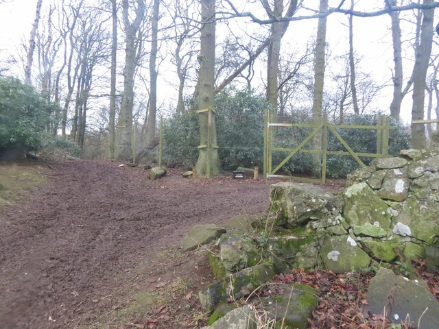
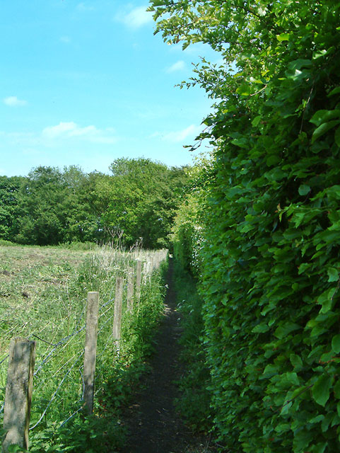
Within Shawsmill Plantation, there are numerous walking trails and footpaths that wind their way through the woodland, allowing visitors to explore its enchanting scenery. Along these paths, one can discover hidden streams, small ponds, and picturesque bridges, enhancing the overall charm of the plantation.

The plantation is well-maintained and managed, ensuring the preservation of its ecological balance and biodiversity. It serves as an important habitat for various bird species, including woodpeckers, owls, and migratory birds, offering a perfect opportunity for birdwatchers to indulge in their passion.

Shawsmill Plantation also provides a recreational space for outdoor activities such as hiking, cycling, and picnicking. Its natural beauty and tranquil atmosphere attract visitors from near and far, seeking solace in the midst of nature.

Overall, Shawsmill Plantation in Fife is a captivating woodland that captivates visitors with its diverse flora and fauna, scenic trails, and peaceful ambiance. It is a haven for nature lovers and an idyllic retreat for those seeking a break from the hustle and bustle of everyday life.

If you have any feedback on the listing, please let us know in the comments section below.

Shawsmill Plantation Images

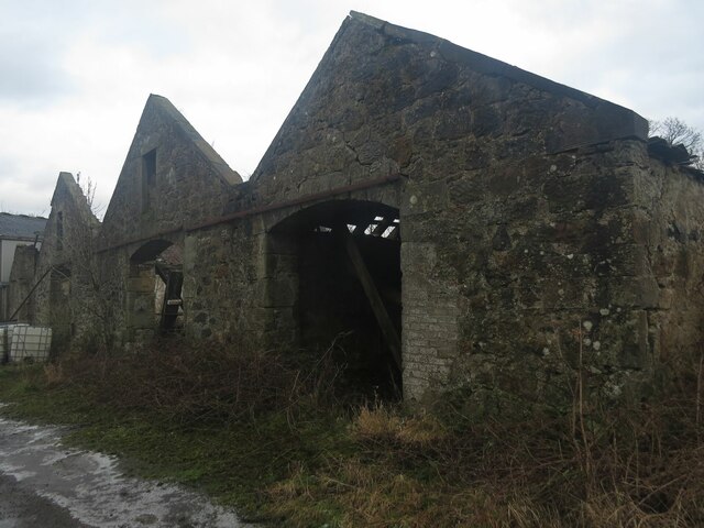
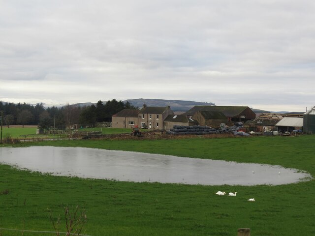
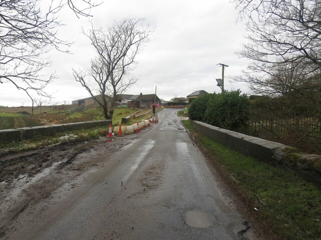
Images are sourced within 2km of 56.124218/-3.2394798 or Grid Reference NT2393. Thanks to Geograph Open Source API. All images are credited.

Remains of Carden Den Tower The tower was erected between 1432 and 1532 but has long since disappeared. For more information, see <span class="nowrap"><a title="https://canmore.org.uk/site/52960/carden-tower" rel="nofollow ugc noopener" href="https://canmore.org.uk/site/52960/carden-tower">Link</a><img style="margin-left:2px;" alt="External link" title="External link - shift click to open in new window" src="https://s1.geograph.org.uk/img/external.png" width="10" height="10"/></span>.
Remains of Carden Den Tower
The tower was erected between 1432 and 1532 but has long since disappeared. For more information, see LinkExternal link.
Camilla Loch
Camilla Loch
Trigpoint, Keir Brae
Benchmark, Lambswell Wood Ordnance Survey benchmark, described on database at <span class="nowrap"><a title="https://www.bench-marks.org.uk/bm147458" rel="nofollow ugc noopener" href="https://www.bench-marks.org.uk/bm147458">Link</a><img style="margin-left:2px;" alt="External link" title="External link - shift click to open in new window" src="https://s1.geograph.org.uk/img/external.png" width="10" height="10"/></span>. sEE ALSO <a href="https://www.geograph.org.uk/photo/7005710">NT2391 : Lambswell Wood, near Newbigging</a>.
Benchmark, Lambswell Wood
Ordnance Survey benchmark, described on database at LinkExternal link. sEE ALSO NT2391 : Lambswell Wood, near Newbigging.
Benchmark, West Balbarton farm Ordnance Survey benchmark, described on database at <span class="nowrap"><a title="https://www.bench-marks.org.uk/bm158520" rel="nofollow ugc noopener" href="https://www.bench-marks.org.uk/bm158520">Link</a><img style="margin-left:2px;" alt="External link" title="External link - shift click to open in new window" src="https://s1.geograph.org.uk/img/external.png" width="10" height="10"/></span>. See also <a href="https://www.geograph.org.uk/photo/7005716">NT2391 : West Balbarton Farm buildings, near Newbigging</a>.
Benchmark, West Balbarton farm
Ordnance Survey benchmark, described on database at LinkExternal link. See also NT2391 : West Balbarton Farm buildings, near Newbigging.
Icy farm track, Little Gleniston
Rivet benchmark, Shawsmill Bridge Ordnance Survey rivet benchmark, described on database at <span class="nowrap"><a title="https://www.bench-marks.org.uk/bm147452" rel="nofollow ugc noopener" href="https://www.bench-marks.org.uk/bm147452">Link</a><img style="margin-left:2px;" alt="External link" title="External link - shift click to open in new window" src="https://s1.geograph.org.uk/img/external.png" width="10" height="10"/></span>. See also <a href="https://www.geograph.org.uk/photo/7007009">NT2293 : Shawsmill Bridge, near Cardenden</a>.
Rivet benchmark, Shawsmill Bridge
Ordnance Survey rivet benchmark, described on database at LinkExternal link. See also NT2293 : Shawsmill Bridge, near Cardenden.
Lambswell Wood, near Newbigging There is an Ordnance Survey benchmark on this crumbling wall in the wood (just visible if you look closely). See <a href="https://www.geograph.org.uk/photo/7005679">NT2391 : Benchmark, Lambswell Wood</a>.
Lambswell Wood, near Newbigging
There is an Ordnance Survey benchmark on this crumbling wall in the wood (just visible if you look closely). See NT2391 : Benchmark, Lambswell Wood.
West Balbarton Farm buildings, near Newbigging There is an Ordnance Survey benchmark on this farm building.
West Balbarton Farm buildings, near Newbigging
There is an Ordnance Survey benchmark on this farm building.
Flooded field at Cardenbarns With three Mute Swans in the foreground.
Flooded field at Cardenbarns
With three Mute Swans in the foreground.
Shawsmill Bridge, near Cardenden There is an Ordnance Survey rivet benchmark on this bridge, which spans the Gelly Burn. See <a href="https://www.geograph.org.uk/photo/7005707">NT2293 : Rivet benchmark, Shawsmill Bridge</a>.
Shawsmill Bridge, near Cardenden
There is an Ordnance Survey rivet benchmark on this bridge, which spans the Gelly Burn. See NT2293 : Rivet benchmark, Shawsmill Bridge.
Benchmark, Sunnyside Plantation near Cardenden This Ordnance Survey benchmark took a lot of finding. It was hidden beneath moss and brambles on an old and crumbling wall away from the main path through the woods. It is described on the database at <span class="nowrap"><a title="https://www.bench-marks.org.uk/bm147454" rel="nofollow ugc noopener" href="https://www.bench-marks.org.uk/bm147454">Link</a><img style="margin-left:2px;" alt="External link" title="External link - shift click to open in new window" src="https://s1.geograph.org.uk/img/external.png" width="10" height="10"/></span>.
Benchmark, Sunnyside Plantation near Cardenden
This Ordnance Survey benchmark took a lot of finding. It was hidden beneath moss and brambles on an old and crumbling wall away from the main path through the woods. It is described on the database at LinkExternal link.
Kirkcaldy : Wester Bogie Road : Daffodils 300,000 daffodils in full bloom, planted in November 2001. Planted at a density of 30 bulbs per metre square, to give this intense effect.
Kirkcaldy : Wester Bogie Road : Daffodils
300,000 daffodils in full bloom, planted in November 2001. Planted at a density of 30 bulbs per metre square, to give this intense effect.
Kirkcaldy : Torbain Farm from Torbain Road looking towards the Tower at the Farm. The Tower is a schedule B listed monument.
Kirkcaldy : Torbain Farm
from Torbain Road looking towards the Tower at the Farm. The Tower is a schedule B listed monument.
Clentrie Farm
Clentrie Farm
West Balbarton Farm
West Balbarton Farm
West Balbarton House
Footpath to ??? I was puzzled by an obviously used and maintained footpath (the beech and hawthorn hedge is trimmed), that  according to the map came to a dead end where the A92 cut across it.  It starts from the minor road between Muirhead and Shawsmill.
Footpath to ???
I was puzzled by an obviously used and maintained footpath (the beech and hawthorn hedge is trimmed), that according to the map came to a dead end where the A92 cut across it. It starts from the minor road between Muirhead and Shawsmill.
Show me another place!

Shawsmill Plantation is located at Grid Ref: NT2393 (Lat: 56.124218, Lng: -3.2394798)

Unitary Authority: Fife

Police Authority: Fife

What 3 Words

///fighters.brisk.loaf. Near Cardenden, Fife

Related Wikis

Cardenden

Cardenden ( ) is a Scottish town located on the south bank of the River Ore in the parish of Auchterderran, Fife. It is approximately 4 miles (6.4 km)...

Raith, Fife

Raith (Scottish Gaelic: rĂ th, "fort" or "fortified residence"), as an area of Fife, once stretched from the lands of Little Raith (earlier Wester Raith...

Dundonald Bluebell F.C.

Dundonald Bluebell Football Club are a Scottish football club based in Cardenden, Fife. The team plays in the East of Scotland League Premier Division...

Cardenden railway station

Cardenden railway station is a railway station in Cardenden, Fife, Scotland. The station is managed by ScotRail and is on the Fife Circle Line, 27 miles...

Nearby Amenities

Located within 500m of 56.124218,-3.2394798
Power: pole
Lat/Long: 56.121776/-3.233478
Power: pole
Lat/Long: 56.1226847/-3.2323781
Power: pole
Lat/Long: 56.1213654/-3.2438716
Power: pole
Lat/Long: 56.1214522/-3.2425305
Power: pole
Lat/Long: 56.1215135/-3.2410285
Power: pole
Lat/Long: 56.1215852/-3.2394809
Power: pole
Lat/Long: 56.1219142/-3.2382417
Power: pole
Lat/Long: 56.1222326/-3.2370079
Power: pole
Lat/Long: 56.1225705/-3.2357177
Power: pole
Lat/Long: 56.1229009/-3.2345161
Power: pole
Lat/Long: 56.1238922/-3.2324052
Power: pole
Lat/Long: 56.1243183/-3.2314879
Bairns Bridge Wood
Natural: wood
Lat/Long: 56.1266814/-3.2396549
The data included in this document is from www.openstreetmap.org. The data is made available under ODbL.

Have you been to Shawsmill Plantation?

Leave your review of Shawsmill Plantation below (or comments, questions and feedback).