Laidlaw Strip

Wood, Forest in Peeblesshire

Scotland

Laidlaw Strip

Barony Castle Hotel, Eddleston
Barony Castle Hotel, Eddleston Credit: kim traynor

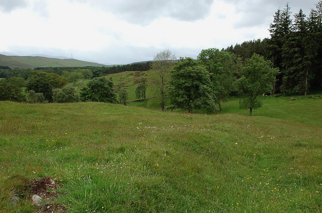
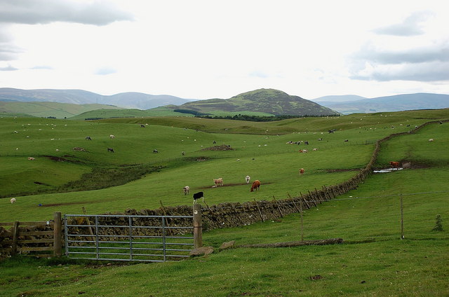
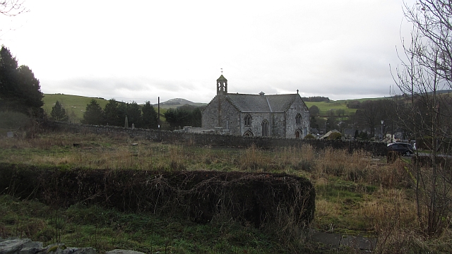
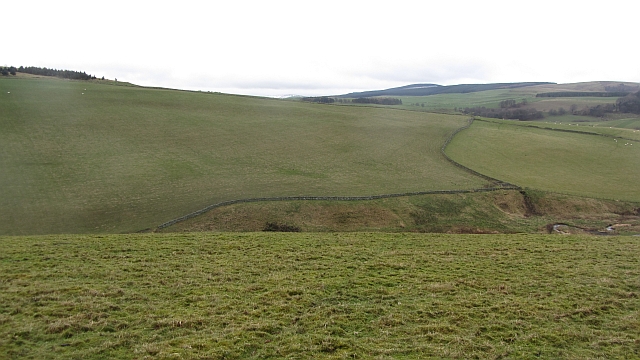
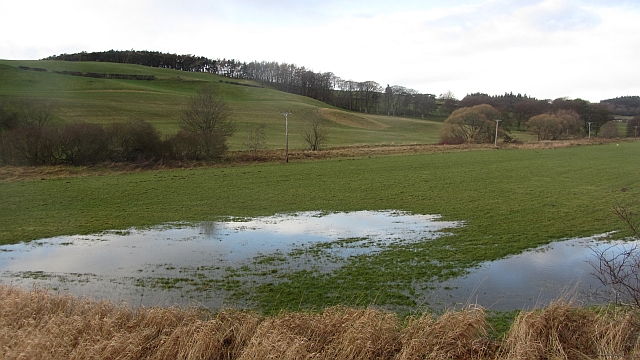
Laidlaw Strip is a picturesque woodland located in Peeblesshire, a historic county in the Scottish Borders region of Scotland. Spanning approximately 200 acres, this forested area is renowned for its natural beauty and tranquil atmosphere, making it a popular destination for nature enthusiasts and outdoor lovers.

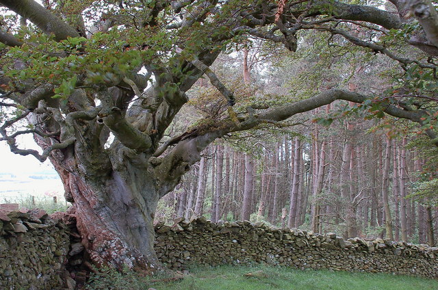
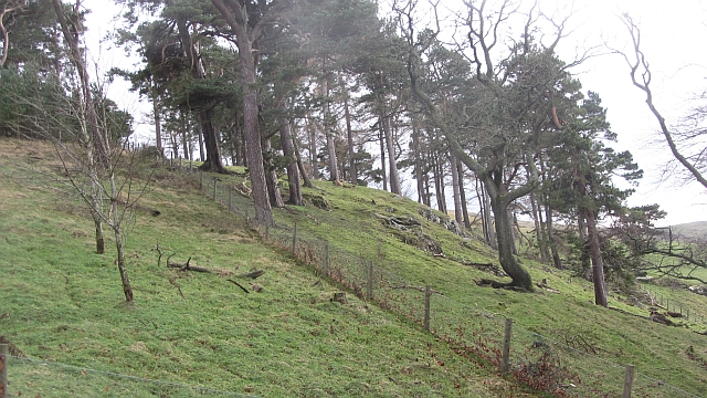
The woodland is characterized by a diverse array of tree species, including native Scots pines, oak, birch, and beech trees. The lush undergrowth is adorned with a variety of wildflowers, creating a vibrant and colorful landscape. Visitors can enjoy leisurely walks along the winding paths that meander through the woods, immersing themselves in the serene ambiance and soaking up the sights and sounds of nature.

Wildlife thrives within Laidlaw Strip, with a wide range of species calling the woodland home. Birdwatchers can spot various avian species, including woodpeckers, owls, and the elusive capercaillie. Red squirrels, roe deer, and other small mammals can also be spotted among the trees, adding to the enchanting experience.

In addition to its natural wonders, Laidlaw Strip offers various recreational activities for visitors to enjoy. The forest is a haven for outdoor enthusiasts, providing opportunities for hiking, cycling, and picnicking. The well-maintained trails cater to all levels of fitness, ensuring everyone can explore the area at their own pace.

Laidlaw Strip, with its stunning woodlands and abundant wildlife, offers a peaceful retreat from the hustle and bustle of everyday life. Whether seeking a serene walk, a wildlife encounter, or a place to reconnect with nature, this woodland gem in Peeblesshire is sure to captivate all who visit.

If you have any feedback on the listing, please let us know in the comments section below.

Laidlaw Strip Images

Images are sourced within 2km of 55.702418/-3.2168785 or Grid Reference NT2346. Thanks to Geograph Open Source API. All images are credited.

Barony Castle Hotel, Eddleston
Waterwheel on the Dean Burn
Old waterwheel at Barony Castle
Barony Castle map of Scotland, Eddleston When I heard that a topographical map of Scotland, carved in stone by Polish army veterans, existed in the grounds of the Barony Castle Hotel, I expected to find something the size of a dining table. I was taken aback on discovering the scale of this massive sculpture which is in fact made of moulded concrete. The viewing platform cannot do it justice until it is raised by another thirty feet at least to gain a good overview of the whole. Those who want the bird's eye view can find it on GoogleEarth at NT 23656 47179. Ground-level photographs fail to deliver the overall visual impact of the map on the beholder. This one is taken standing east of Caithness, looking south across the Moray Firth. For more about this remarkablea artefact, see <span class="nowrap"><a title="http://www.mapascotland.org/" rel="nofollow ugc noopener" href="http://www.mapascotland.org/">Link</a><img style="margin-left:2px;" alt="External link" title="External link - shift click to open in new window" src="https://s1.geograph.org.uk/img/external.png" width="10" height="10"/></span>
Barony Castle map of Scotland, Eddleston
When I heard that a topographical map of Scotland, carved in stone by Polish army veterans, existed in the grounds of the Barony Castle Hotel, I expected to find something the size of a dining table. I was taken aback on discovering the scale of this massive sculpture which is in fact made of moulded concrete. The viewing platform cannot do it justice until it is raised by another thirty feet at least to gain a good overview of the whole. Those who want the bird's eye view can find it on GoogleEarth at NT 23656 47179. Ground-level photographs fail to deliver the overall visual impact of the map on the beholder. This one is taken standing east of Caithness, looking south across the Moray Firth. For more about this remarkablea artefact, see LinkExternal link
Barony Castle map of Scotland, Forth Estuary and Fife For an explanation of the map, see <span class="nowrap"><a title="https://en.wikipedia.org/wiki/Great_Polish_Map_of_Scotland" rel="nofollow ugc noopener" href="https://en.wikipedia.org/wiki/Great_Polish_Map_of_Scotland">Link</a><img style="margin-left:2px;" alt="External link" title="External link - shift click to open in new window" src="https://s1.geograph.org.uk/img/external.png" width="10" height="10"/></span>
Barony Castle map of Scotland, Forth Estuary and Fife
For an explanation of the map, see LinkExternal link
Barony Castle map of Scotland, Galloway
Barony Castle map of Scotland, Outer Hebrides
Barony Castle map of Scotland, Isle of Lewis
Cringletie House Hotel A country house hotel in a parkland setting between Eddleston and Peebles.
Cringletie House Hotel
A country house hotel in a parkland setting between Eddleston and Peebles.
Pavilion, Cringletie A pavilion or summerhouse in the grounds near the hotel, surmounted by a small dovecot.
Pavilion, Cringletie
A pavilion or summerhouse in the grounds near the hotel, surmounted by a small dovecot.
Possible hill fort near Cringletie An earth bank on an elevated open site near Black Wood might indicate the remains of a hill fort or similar antiquity.
Possible hill fort near Cringletie
An earth bank on an elevated open site near Black Wood might indicate the remains of a hill fort or similar antiquity.
Aged beech tree, Cringletie A tree with many summers behind it, but still in leaf.
Aged beech tree, Cringletie
A tree with many summers behind it, but still in leaf.
Gate on the Old Post Road near Stewarton The route keeps R of the wall, and an enclosed track is met at the S end of the field. The hill ahead is White Meldon.
Gate on the Old Post Road near Stewarton
The route keeps R of the wall, and an enclosed track is met at the S end of the field. The hill ahead is White Meldon.
The church, Eddleston Looking over what looks like the site of a demolished house towards the church.
The church, Eddleston
Looking over what looks like the site of a demolished house towards the church.
Dog Knowes Pine wood on a craggy hillside.
Dog Knowes
Pine wood on a craggy hillside.
Temple Hill Grassland above Eddleston.
Temple Hill
Grassland above Eddleston.
Flooded ground, Eddleston
Show me another place!

Laidlaw Strip is located at Grid Ref: NT2346 (Lat: 55.702418, Lng: -3.2168785)

Unitary Authority: The Scottish Borders

Police Authority: The Lothians and Scottish Borders

What 3 Words

///clicker.proves.dust. Near Peebles, Scottish Borders

Related Wikis

Great Polish Map of Scotland

The Great Polish Map of Scotland is a large (50 m x 40 m) three-dimensional, outdoor concrete scale model of Scotland, located in the grounds of the Barony...

Eddleston railway station

Eddleston railway station served the village of Eddleston, Scottish Borders, Scotland from 1855 to 1962 on the Peebles Railway. == History == The station...
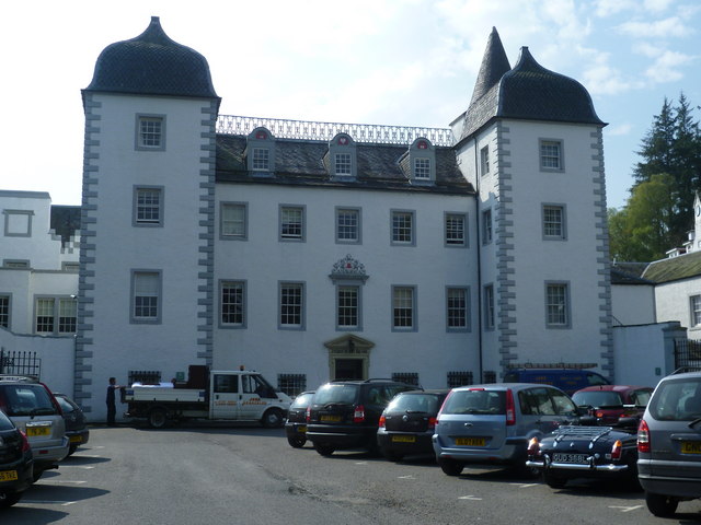
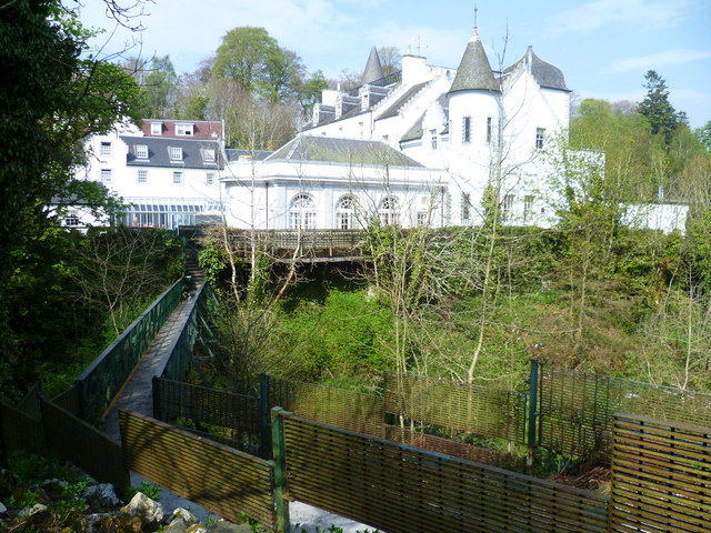
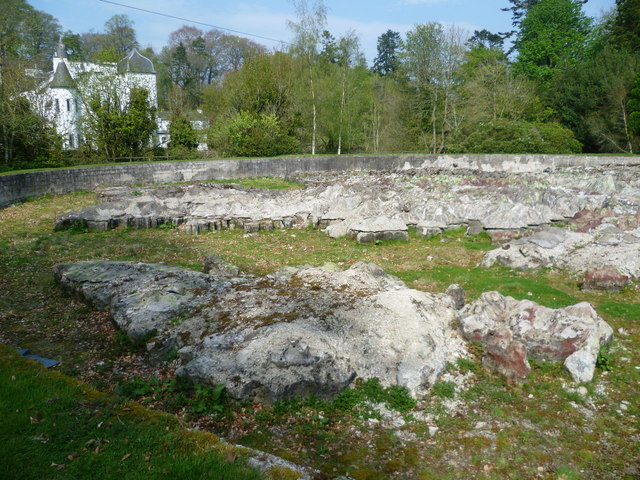
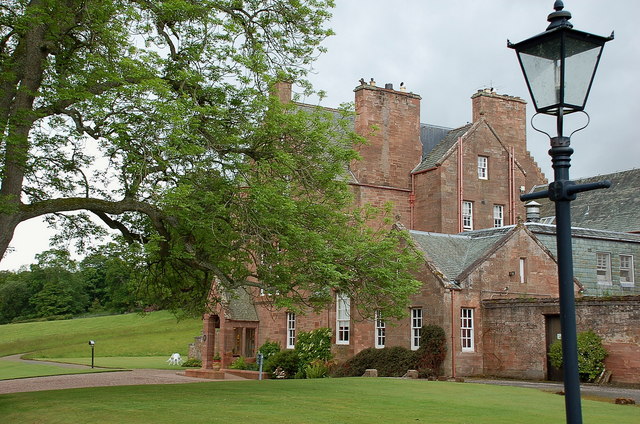
Black Barony

Barony Castle, also and formerly known as Black Barony, and Darnhall, is a historic house at Eddleston in the Scottish Borders area of Scotland. The house...

Milkieston Rings

Milkieston Rings is a prehistoric site, a hillfort near the village of Eddleston and about 3 miles (5 km) north of Peebles, in the Scottish Borders, Scotland...

Nearby Amenities

Located within 500m of 55.702418,-3.2168785
Parking
Lat/Long: 55.6983997/-3.2133839
Power: pole
Lat/Long: 55.7052944/-3.2135941
Power: pole
Lat/Long: 55.7059348/-3.2131746
Power: pole
Lat/Long: 55.7047453/-3.2139537
Power: pole
Lat/Long: 55.7040962/-3.2139138
Power: pole
Lat/Long: 55.7033157/-3.2138805
Power: pole
Lat/Long: 55.7025339/-3.2138539
Power: pole
Lat/Long: 55.7017321/-3.2138028
Power: pole
Lat/Long: 55.7010166/-3.2137873
Power: pole
Lat/Long: 55.7002473/-3.2137651
Power: pole
Lat/Long: 55.6995606/-3.2137451
Power: pole
Lat/Long: 55.6989426/-3.2137362
Power: pole
Lat/Long: 55.6982322/-3.2163862
Power: pole
Lat/Long: 55.6982691/-3.2176783
Power: pole
Lat/Long: 55.6981921/-3.2189619
Power: pole
Lat/Long: 55.6981821/-3.2150456
Power: pole
Lat/Long: 55.7009795/-3.2124128
Power: pole
Lat/Long: 55.7010529/-3.2117779
Generator Method: photovoltaic
Generator Output Electricity: yes
Generator Source: solar
Generator Type: solar_photovoltaic_panel
Power: generator
Lat/Long: 55.7004505/-3.2116674
Generator Method: photovoltaic
Generator Output Electricity: yes
Generator Source: solar
Generator Type: solar_photovoltaic_panel
Power: generator
Lat/Long: 55.6993548/-3.2191296
The data included in this document is from www.openstreetmap.org. The data is made available under ODbL.

Have you been to Laidlaw Strip?

Leave your review of Laidlaw Strip below (or comments, questions and feedback).