Whinnie Knowe
Hill, Mountain in Peeblesshire
Scotland
Whinnie Knowe
Whinnie Knowe is a prominent hill located in Peeblesshire, a historic county in the Scottish Borders region of Scotland. Standing at an elevation of 524 meters (1,718 feet), it is considered one of the notable peaks in the area.
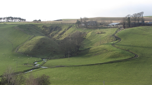
Situated towards the southeast of Peebles town, Whinnie Knowe offers breathtaking panoramic views of the surrounding countryside. Its location within the picturesque landscape of the Scottish Borders makes it a popular destination for hikers, nature enthusiasts, and photographers.
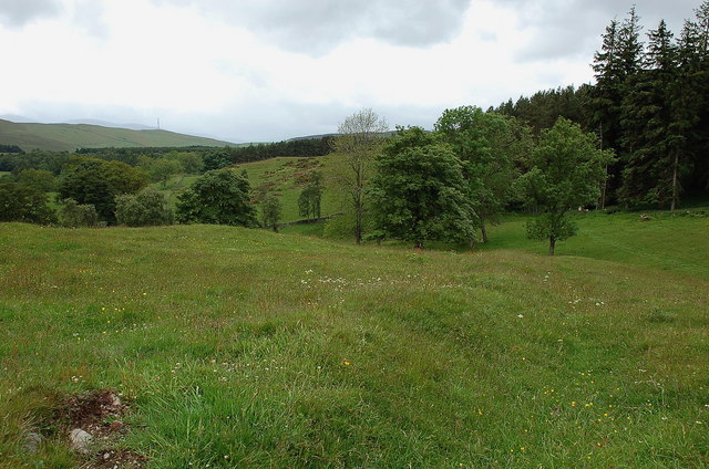
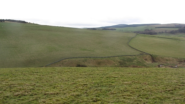
The hill is characterized by its gently sloping sides, covered in a patchwork of heather, grass, and scattered trees. The terrain is relatively easy to navigate, with well-defined paths leading to the summit, making it accessible for walkers of various levels of experience.
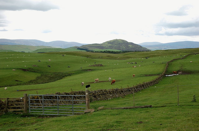
At the top of Whinnie Knowe, visitors can enjoy unobstructed vistas of the rolling hills, valleys, and forests that stretch as far as the eye can see. On clear days, it is possible to catch glimpses of the majestic Southern Uplands and the distant Lammermuir Hills.
Wildlife is abundant in the area, with sightings of various bird species, including buzzards and kestrels, as well as occasional sightings of deer and hares. The hill also boasts a diverse range of flora, with colorful wildflowers dotting the landscape during the spring and summer months.
Overall, Whinnie Knowe is a captivating hill in Peeblesshire, offering a refreshing outdoor experience, stunning scenery, and a chance to immerse oneself in the natural beauty of the Scottish Borders.
If you have any feedback on the listing, please let us know in the comments section below.
Whinnie Knowe Images
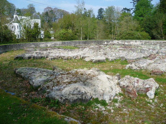
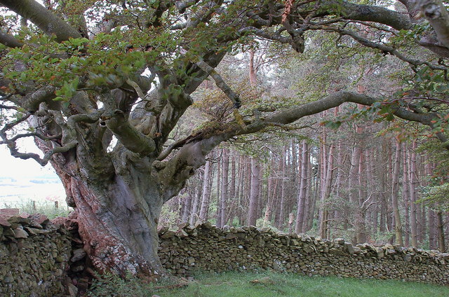
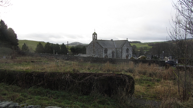
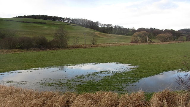
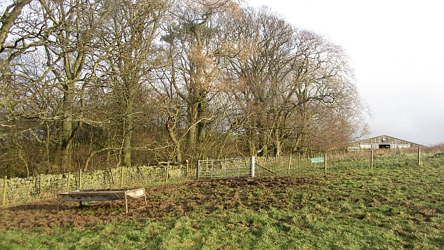
Images are sourced within 2km of 55.705796/-3.2268821 or Grid Reference NT2346. Thanks to Geograph Open Source API. All images are credited.

Whinnie Knowe is located at Grid Ref: NT2346 (Lat: 55.705796, Lng: -3.2268821)
Unitary Authority: The Scottish Borders
Police Authority: The Lothians and Scottish Borders
What 3 Words
///buzz.studs.daredevil. Near Peebles, Scottish Borders
Nearby Locations
Related Wikis

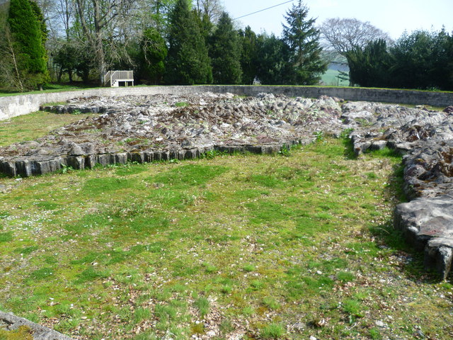
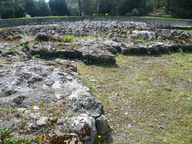
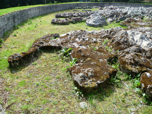
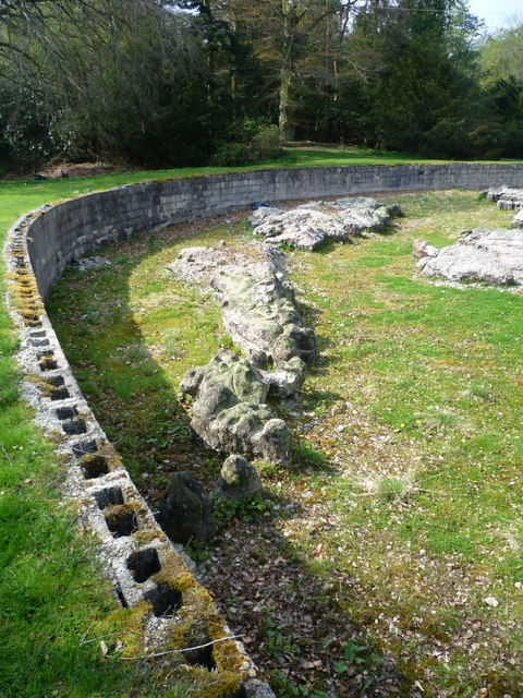
Great Polish Map of Scotland
The Great Polish Map of Scotland is a large (50 m x 40 m) three-dimensional, outdoor concrete scale model of Scotland, located in the grounds of the Barony...

Black Barony
Barony Castle, also and formerly known as Black Barony, and Darnhall, is a historic house at Eddleston in the Scottish Borders area of Scotland. The house...

Eddleston railway station
Eddleston railway station served the village of Eddleston, Scottish Borders, Scotland from 1855 to 1962 on the Peebles Railway. == History == The station...

Eddleston
Eddleston (Scottish Gaelic: Baile Ghille Mhoire) is a small village and civil parish in the Scottish Borders area of Scotland. It lies 4 miles (6.4 km...
Nearby Amenities
Located within 500m of 55.705796,-3.2268821Have you been to Whinnie Knowe?
Leave your review of Whinnie Knowe below (or comments, questions and feedback).