High Gait Crags
Hill, Mountain in Cumberland Copeland
England
High Gait Crags
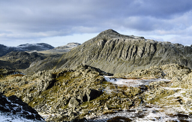
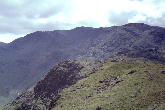
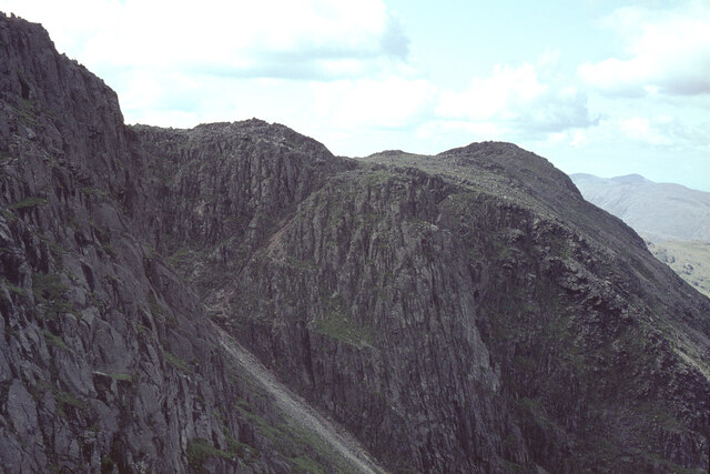
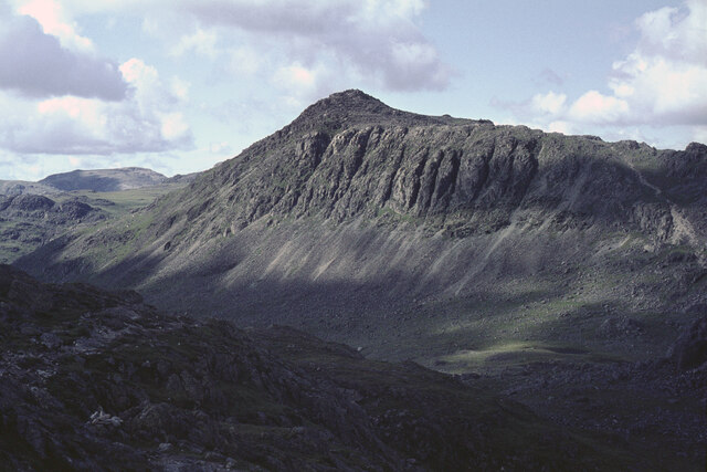
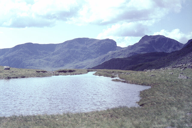
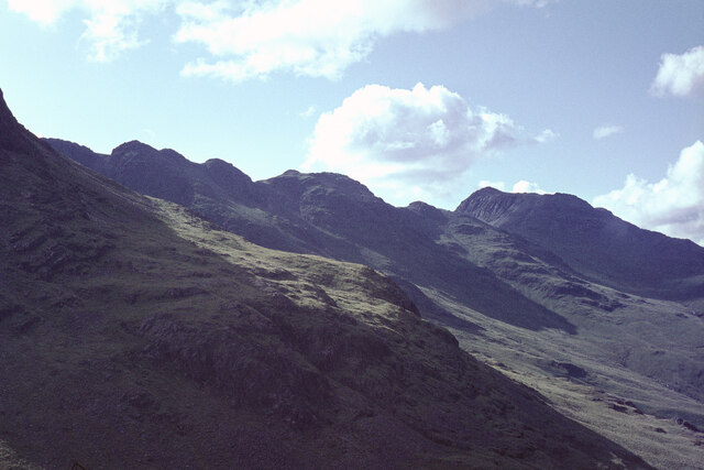
High Gait Crags is a prominent hill located in the county of Cumberland in northwest England. Standing at an elevation of approximately 520 meters (1,706 feet), it forms part of the enchanting Lake District National Park. The crags are situated within close proximity to the popular tourist town of Keswick, offering visitors a convenient opportunity to explore this natural wonder.
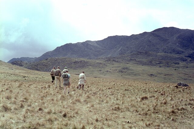
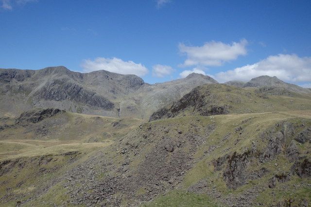
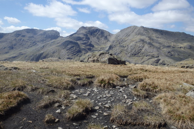
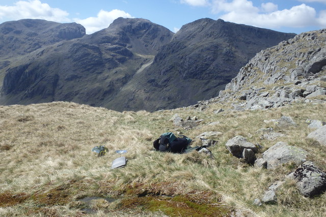
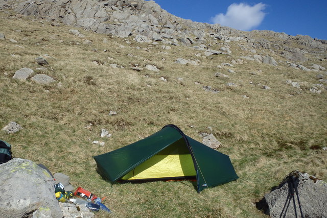
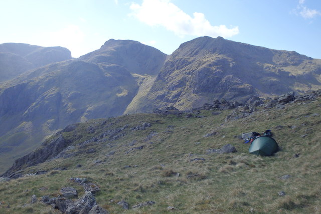
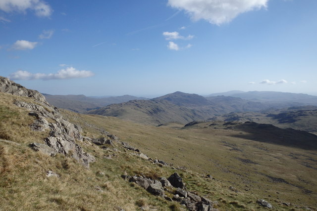
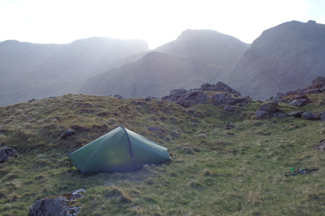
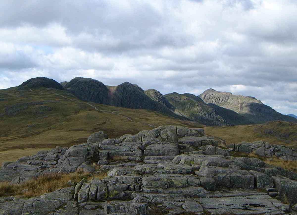
High Gait Crags boasts a rugged and rocky terrain, making it a favorite destination for hikers and outdoor enthusiasts. Its distinctive craggy features and steep slopes provide a challenging yet rewarding climb, attracting both experienced climbers and those seeking a thrilling adventure.
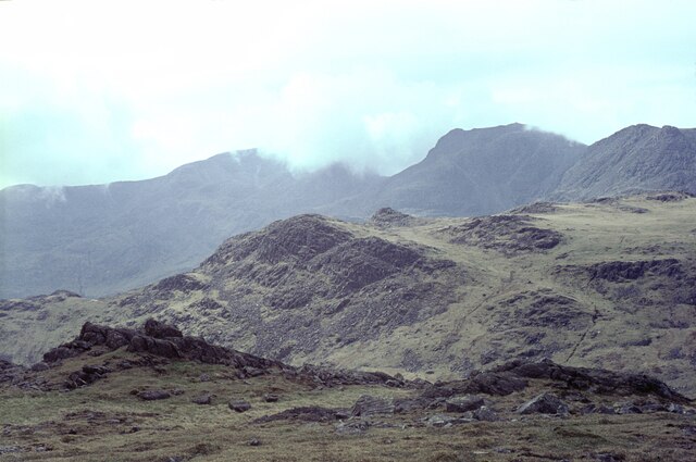
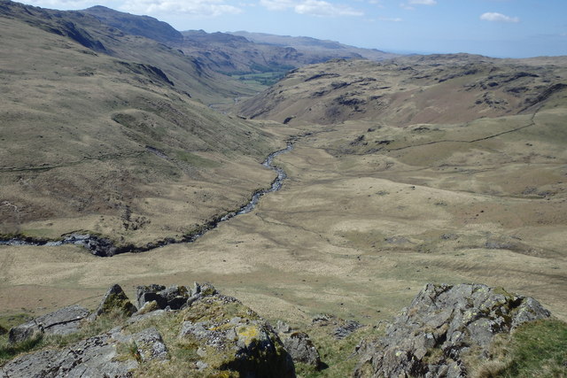
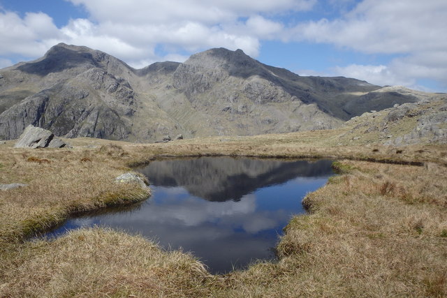
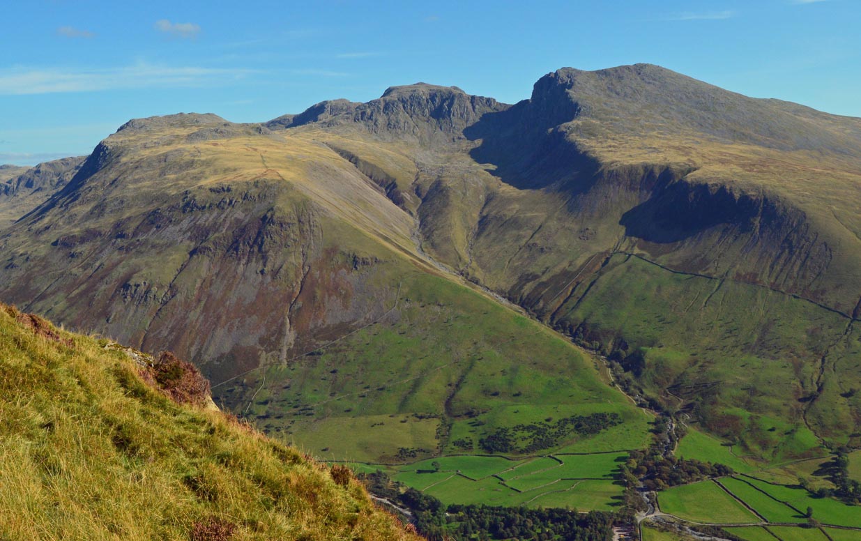
The hill offers breathtaking panoramic views from its summit, allowing visitors to marvel at the stunning surrounding landscape. On clear days, one can witness the picturesque vistas of the Lake District, including the sparkling waters of Derwentwater and the majestic peaks of Skiddaw and Blencathra.
Rich in flora and fauna, High Gait Crags is home to a diverse range of plant and animal species. The hill's slopes are adorned with heather, bracken, and various wildflowers, creating a vibrant tapestry of colors throughout the seasons. Wildlife enthusiasts may spot red deer, buzzards, and occasional ravens soaring above.
While High Gait Crags may not be one of the highest peaks in the Lake District, its distinctive character, challenging climb, and stunning vistas make it a must-visit destination for nature lovers and outdoor adventurers alike.
If you have any feedback on the listing, please let us know in the comments section below.
High Gait Crags Images
Images are sourced within 2km of 54.441605/-3.1888171 or Grid Reference NY2205. Thanks to Geograph Open Source API. All images are credited.
High Gait Crags is located at Grid Ref: NY2205 (Lat: 54.441605, Lng: -3.1888171)
Administrative County: Cumbria
District: Copeland
Police Authority: Cumbria
What 3 Words
///sock.ownership.hung. Near Ambleside, Cumbria
Nearby Locations
Related Wikis

Bowfell
Bowfell (named Bow Fell on Ordnance Survey maps) is a pyramid-shaped mountain lying at the heart of the English Lake District, in the Southern Fells area...

Ill Crag
Ill Crag is a fell in the English Lake District. At 935 metres (3,068 ft), it is the fourth-highest peak in England, after Scafell Pike, Sca Fell, and...

Esk Pike
Esk Pike is a fell in the English Lake District, one of the cirque of hills forming the head of Eskdale. == Topography == The Southern Fells include the...
Scafell Pike
Scafell Pike () is the highest and the most prominent mountain in England, at an elevation of 978 metres (3,209 ft) above sea level. It is located in the...

Broad Crag
Broad Crag is a fell in the English Lake District. It is the fifth-highest peak in England at a height of 3,064 feet (934 metres). The mountain was gifted...
Crinkle Crags
Crinkle Crags is a fell in the English Lake District in the county of Cumbria. It forms part of two major rings of mountains, surrounding the valleys of...

Slight Side
Slight Side is a fell in the English Lake District it stands 25 kilometres (16 miles) east southeast of the town of Whitehaven and reaches a height of...

Mickledore
Mickledore (the name means great door or pass) is a narrow ridge, 840 metres (2755 ft) high, connecting the mountains of Scafell and Scafell Pike in the...
Related Videos

Hiking the Bob Graham Round - Day 1
The Bob Graham Round is a circular route that starts and finishes in Keswick, Cumbria, UK - with 8160m of ascent over 99km and ...

Dangerous? Scafell Pike from Wasdale via Mickledore Wainwright Guided Walk Lake District 4K
The walk up Scafell Pike via Mickledore is an alternative route up Scafell Pike from Wasdale, sharing the initial climb with the ...
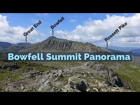
Bowfell - Fully Labelled Summit View Panorama. Lake District Walks & Hiking
A slow 360 degree panorama from the summit of Bowfell in the English Lake District. All main view points labelled.
A Simple Guide to Scafell Pike | Hiking, Camping, Itinerary | Filipino UK Travel
A Simple Guide to Scafell Pike | Hiking, Camping, Itinerary | Filipino UK Travel Hello and welcome to Life Adventure Philippines!
Nearby Amenities
Located within 500m of 54.441605,-3.1888171Have you been to High Gait Crags?
Leave your review of High Gait Crags below (or comments, questions and feedback).