Swiss Cabin Wood

Wood, Forest in Peeblesshire

Scotland

Swiss Cabin Wood

Sheep at Boreland Drizzly weather at this hill farm below Dundreich.
Sheep at Boreland Credit: Jim Barton

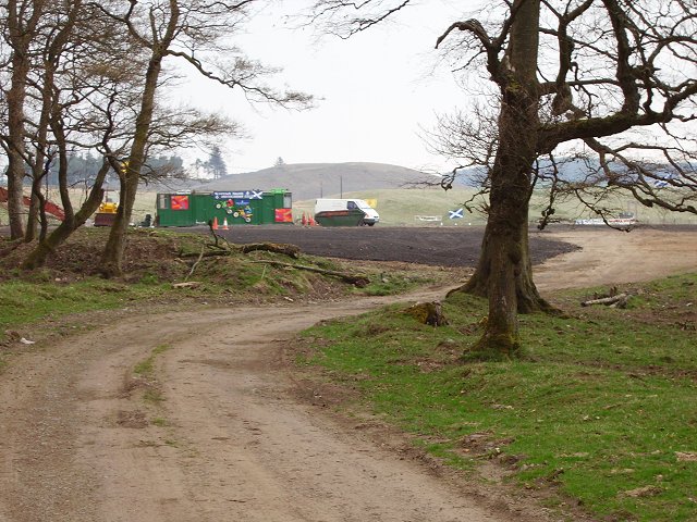
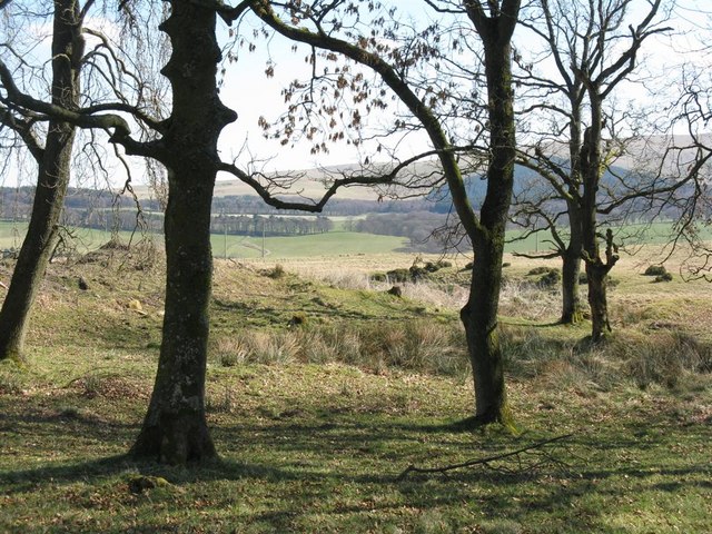
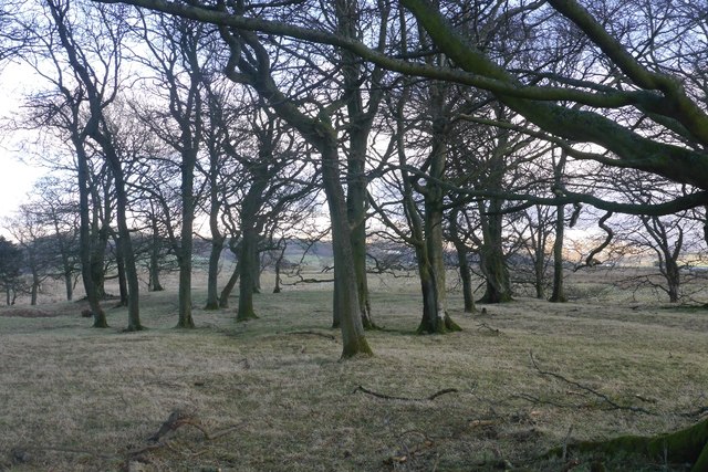
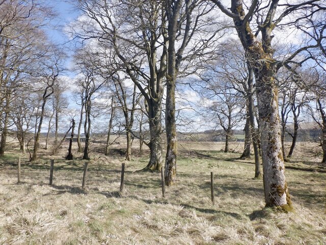
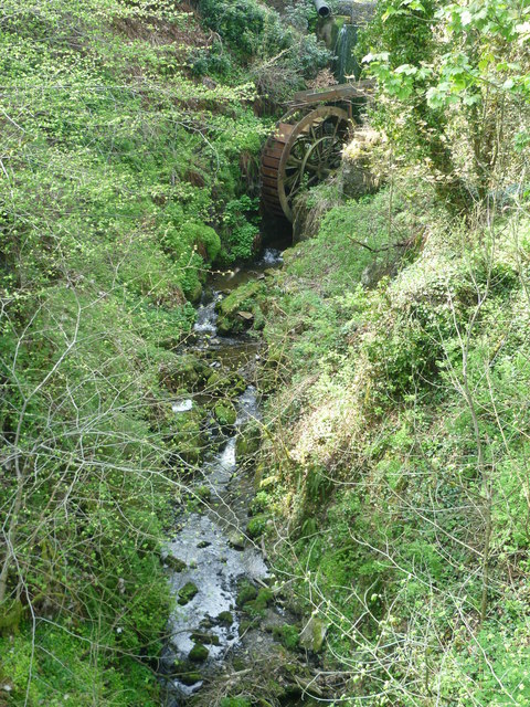
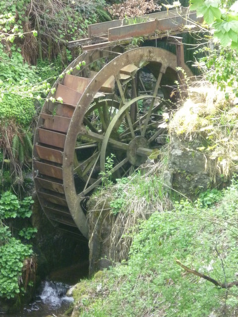
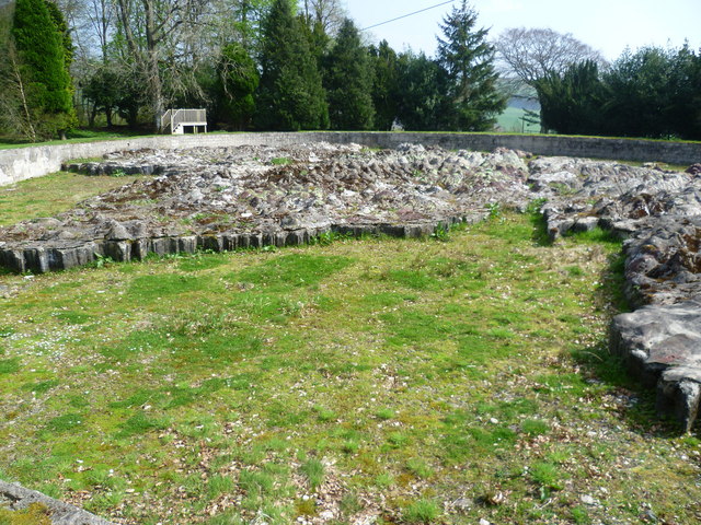
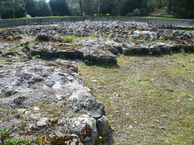
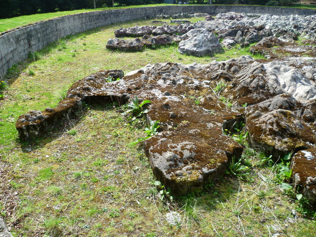
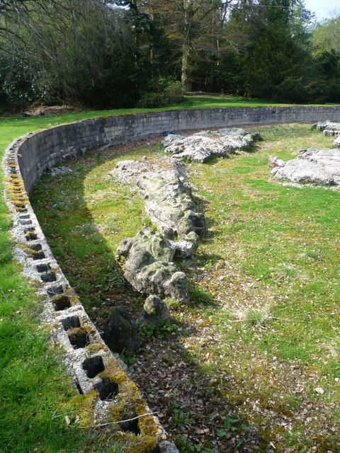
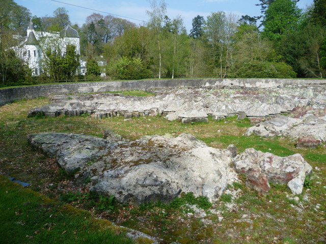
Swiss Cabin Wood is a charming forest located in Peeblesshire, Scotland. Spanning over a vast area, this woodland is renowned for its natural beauty and tranquil atmosphere. The wood is nestled in a picturesque valley, surrounded by rolling hills and framed by the winding River Tweed.

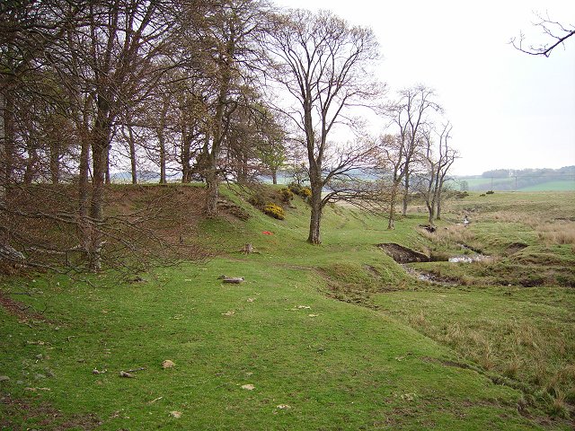
One of the notable features of Swiss Cabin Wood is its diverse range of tree species. The forest is predominantly composed of native Scottish trees such as oak, birch, and beech, which create a dense canopy overhead. The rich green foliage provides a habitat for numerous wildlife species, including deer, foxes, and a variety of bird species, making it a popular destination for nature enthusiasts and birdwatchers.

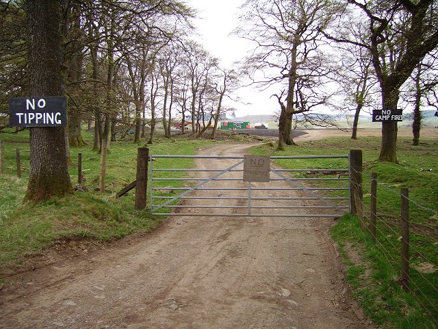
The wood also boasts several well-maintained walking trails that wind through the forest, offering visitors the opportunity to immerse themselves in the serene surroundings. These trails cater to all levels of fitness, with options for leisurely strolls or more challenging hikes. Along the way, visitors can enjoy breathtaking views of the surrounding landscape and discover hidden gems such as secluded picnic spots, small streams, and enchanting clearings.

Swiss Cabin Wood is a haven for outdoor activities, attracting locals and tourists alike. It is a popular spot for camping, fishing, and wildlife photography. Additionally, the wood is home to a variety of plant species, including wildflowers and ferns, which add to the beauty and diversity of the natural environment.

Overall, Swiss Cabin Wood offers a captivating escape from the hustle and bustle of everyday life, allowing visitors to connect with nature and experience the tranquility of a truly idyllic forest setting.

If you have any feedback on the listing, please let us know in the comments section below.

Swiss Cabin Wood Images

Images are sourced within 2km of 55.720795/-3.2222102 or Grid Reference NT2348. Thanks to Geograph Open Source API. All images are credited.

Sheep at Boreland Drizzly weather at this hill farm below Dundreich.
Sheep at Boreland
Drizzly weather at this hill farm below Dundreich.
Sheep near Eddleston Sheep grazing in a root crop field east of Eddleston. Barony Castle Hotel is dimly visible in the woodland beyond.
Sheep near Eddleston
Sheep grazing in a root crop field east of Eddleston. Barony Castle Hotel is dimly visible in the woodland beyond.
MotoX Shiplaw Motocross circuit near Shiplaw, marked as a sheepfold on the 1:25000 OS map.
MotoX Shiplaw
Motocross circuit near Shiplaw, marked as a sheepfold on the 1:25000 OS map.
No, no, no! Flytipping vermin don't read notices - also implies it's OK elsewhere, but a nice try. Meanwhile the lovely grassy picnic areas in the nearby Meldons were getting trashed by tipping and camp fires.  Best of luck!
No, no, no!
Flytipping vermin don't read notices - also implies it's OK elsewhere, but a nice try. Meanwhile the lovely grassy picnic areas in the nearby Meldons were getting trashed by tipping and camp fires. Best of luck!
Shiplaw Burn Burn cutting down through a sandy area, probably deposited by glaciers.
Shiplaw Burn
Burn cutting down through a sandy area, probably deposited by glaciers.
Looking through the trees near Shiplaw Burn
Trees, Shiplaw Grazed woodland.
Trees, Shiplaw
Grazed woodland.
Woodland, Shiplaw Motocross course beyond. Not in use today, probably banned at the time (Spring 2021), so quiet.
Woodland, Shiplaw
Motocross course beyond. Not in use today, probably banned at the time (Spring 2021), so quiet.
Barony Castle Hotel, Eddleston
Waterwheel on the Dean Burn
Old waterwheel at Barony Castle
Barony Castle map of Scotland, Eddleston When I heard that a topographical map of Scotland, carved in stone by Polish army veterans, existed in the grounds of the Barony Castle Hotel, I expected to find something the size of a dining table. I was taken aback on discovering the scale of this massive sculpture which is in fact made of moulded concrete. The viewing platform cannot do it justice until it is raised by another thirty feet at least to gain a good overview of the whole. Those who want the bird's eye view can find it on GoogleEarth at NT 23656 47179. Ground-level photographs fail to deliver the overall visual impact of the map on the beholder. This one is taken standing east of Caithness, looking south across the Moray Firth. For more about this remarkablea artefact, see <span class="nowrap"><a title="http://www.mapascotland.org/" rel="nofollow ugc noopener" href="http://www.mapascotland.org/">Link</a><img style="margin-left:2px;" alt="External link" title="External link - shift click to open in new window" src="https://s1.geograph.org.uk/img/external.png" width="10" height="10"/></span>
Barony Castle map of Scotland, Eddleston
When I heard that a topographical map of Scotland, carved in stone by Polish army veterans, existed in the grounds of the Barony Castle Hotel, I expected to find something the size of a dining table. I was taken aback on discovering the scale of this massive sculpture which is in fact made of moulded concrete. The viewing platform cannot do it justice until it is raised by another thirty feet at least to gain a good overview of the whole. Those who want the bird's eye view can find it on GoogleEarth at NT 23656 47179. Ground-level photographs fail to deliver the overall visual impact of the map on the beholder. This one is taken standing east of Caithness, looking south across the Moray Firth. For more about this remarkablea artefact, see LinkExternal link
Barony Castle map of Scotland, Forth Estuary and Fife For an explanation of the map, see <span class="nowrap"><a title="https://en.wikipedia.org/wiki/Great_Polish_Map_of_Scotland" rel="nofollow ugc noopener" href="https://en.wikipedia.org/wiki/Great_Polish_Map_of_Scotland">Link</a><img style="margin-left:2px;" alt="External link" title="External link - shift click to open in new window" src="https://s1.geograph.org.uk/img/external.png" width="10" height="10"/></span>
Barony Castle map of Scotland, Forth Estuary and Fife
For an explanation of the map, see LinkExternal link
Barony Castle map of Scotland, Galloway
Barony Castle map of Scotland, Outer Hebrides
Barony Castle map of Scotland, Isle of Lewis
Row of Cottages at Harcus North of Eddleston in Peeblesshire.
Row of Cottages at Harcus
North of Eddleston in Peeblesshire.
Show me another place!

Swiss Cabin Wood is located at Grid Ref: NT2348 (Lat: 55.720795, Lng: -3.2222102)

Unitary Authority: The Scottish Borders

Police Authority: The Lothians and Scottish Borders

What 3 Words

///orange.compliant.faced. Near Peebles, Scottish Borders

Related Wikis

Darnhall Mains

Darnhall Mains is a farm and settlement off the A703, near Eddleston and the Eddleston Water in the Scottish Borders area of Scotland, in the former Peeblesshire...
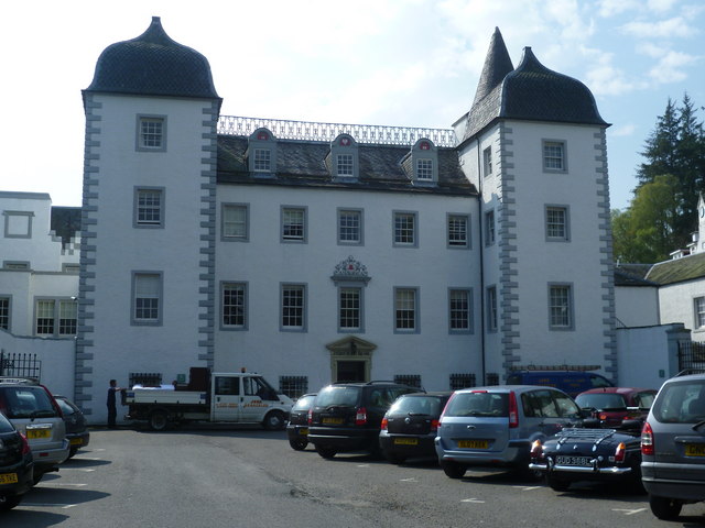
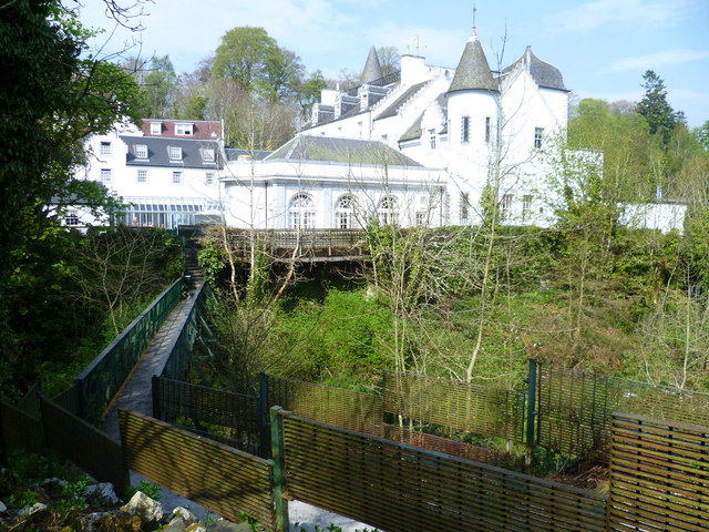
Black Barony

Barony Castle, also and formerly known as Black Barony, and Darnhall, is a historic house at Eddleston in the Scottish Borders area of Scotland. The house...

Great Polish Map of Scotland

The Great Polish Map of Scotland is a large (50 m x 40 m) three-dimensional, outdoor concrete scale model of Scotland, located in the grounds of the Barony...

Eddleston railway station

Eddleston railway station served the village of Eddleston, Scottish Borders, Scotland from 1855 to 1962 on the Peebles Railway. == History == The station...

Nearby Amenities

Located within 500m of 55.720795,-3.2222102
Power: pole
Lat/Long: 55.7242304/-3.223407
Power: pole
Lat/Long: 55.7228642/-3.2240786
Power: pole
Lat/Long: 55.7220426/-3.2242942
Power: pole
Lat/Long: 55.7212206/-3.2244863
Power: pole
Lat/Long: 55.7204894/-3.224674
Power: pole
Lat/Long: 55.7197341/-3.2248585
Power: pole
Lat/Long: 55.7191358/-3.2252158
Power: pole
Lat/Long: 55.718459/-3.2256503
Power: pole
Lat/Long: 55.7178033/-3.2260151
Power: pole
Lat/Long: 55.7171355/-3.226396
Power: pole
Lat/Long: 55.7171559/-3.2261394
Power: pole
Lat/Long: 55.7178267/-3.2257532
Power: pole
Lat/Long: 55.7184535/-3.2253738
Power: pole
Lat/Long: 55.7197038/-3.2246342
Power: pole
Lat/Long: 55.7204638/-3.2244521
Power: pole
Lat/Long: 55.7220245/-3.2240506
Power: pole
Lat/Long: 55.7228302/-3.2238327
Power: pole
Lat/Long: 55.7235462/-3.2235055
Power: pole
Lat/Long: 55.724229/-3.2231675
Black Barony
Place: locality
Lat/Long: 55.7199284/-3.217299
Power: pole
Lat/Long: 55.7182601/-3.2158323
Power: pole
Lat/Long: 55.7181808/-3.216976
Power: pole
Lat/Long: 55.7181062/-3.2181513
Power: pole
Lat/Long: 55.718028/-3.2193328
Power: pole
Lat/Long: 55.7183181/-3.2206657
Power: pole
Lat/Long: 55.718613/-3.2219923
Power: pole
Lat/Long: 55.7189363/-3.2241326
Power: pole
Lat/Long: 55.7188273/-3.2253015
Power: pole
Lat/Long: 55.718703/-3.2264767
Power: pole
Lat/Long: 55.7185798/-3.2276709
Power: pole
Lat/Long: 55.7184484/-3.2288713
Power: pole
Lat/Long: 55.7191317/-3.2249788
Power: pole
Lat/Long: 55.7212673/-3.2242314
Power: pole
Lat/Long: 55.7235358/-3.2237485
Power: pole
Lat/Long: 55.7249501/-3.2230432
Power: pole
Lat/Long: 55.7249453/-3.2228038
The data included in this document is from www.openstreetmap.org. The data is made available under ODbL.

Have you been to Swiss Cabin Wood?

Leave your review of Swiss Cabin Wood below (or comments, questions and feedback).