Ada Hill

Hill, Mountain in Peeblesshire

Scotland

Ada Hill

Eddleston Water Beside the trackbed of the old Peebles to Edinburgh Railway.
(Taken from a layby on the A703 polluted with much litter.)
Eddleston Water Credit: Russel Wills

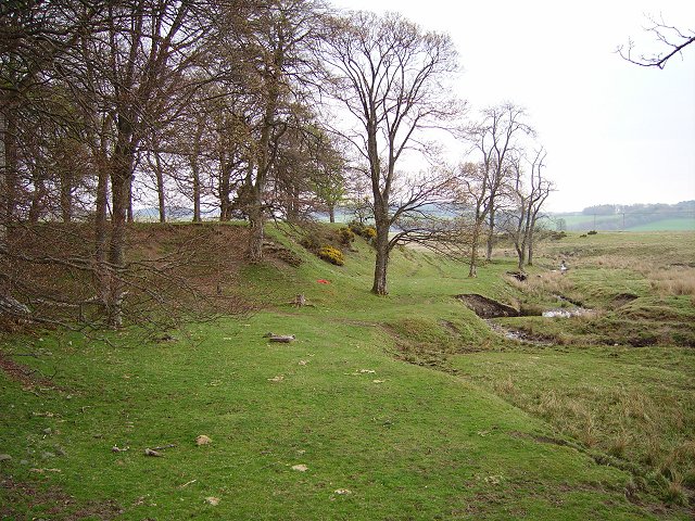
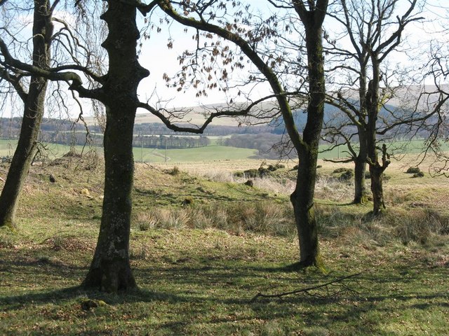
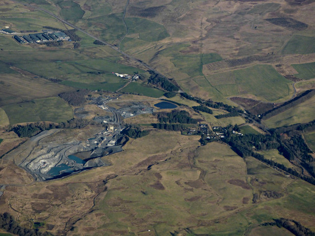
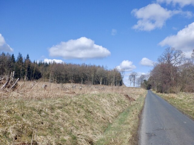
Ada Hill is a prominent natural landmark located in Peeblesshire, a picturesque region in the southern part of Scotland. This hill is a part of the broader Tweed Valley Range, renowned for its stunning landscapes and rich biodiversity. Standing at an elevation of approximately 450 meters (1475 feet), Ada Hill offers visitors breathtaking panoramic views of the surrounding countryside.

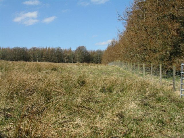
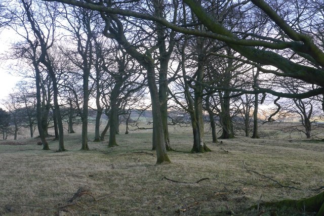
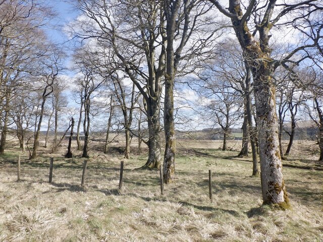
The hill is characterized by its gently sloping terrain, covered in lush green vegetation and scattered with colorful wildflowers during the spring and summer months. It is primarily composed of sedimentary rocks, such as sandstone and shale, which contribute to the unique geological formations found in the area.

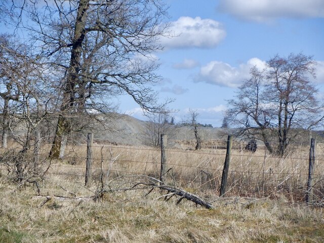
At the summit of Ada Hill, visitors can find a trig point, which serves as a marker for surveying purposes. This point provides an ideal vantage point for taking in the unspoiled beauty of the surrounding area. On clear days, one can see the rolling hills of Peeblesshire, the meandering River Tweed, and even the distant peaks of the Scottish Borders.

The hill is a popular destination for hikers and nature enthusiasts, offering a variety of walking trails that cater to different levels of fitness and experience. The routes vary in length and difficulty, allowing visitors to choose a path that suits their preferences. Wildlife enthusiasts will also be delighted to spot various bird species, including buzzards and kestrels, as well as other small mammals and reptiles that call Ada Hill their home.

Overall, Ada Hill in Peeblesshire is a captivating natural landmark that offers visitors a chance to connect with nature, enjoy breathtaking views, and experience the tranquility of the Scottish countryside.

If you have any feedback on the listing, please let us know in the comments section below.
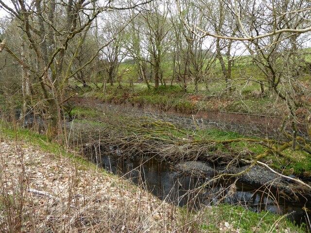
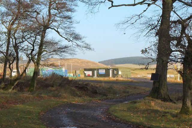
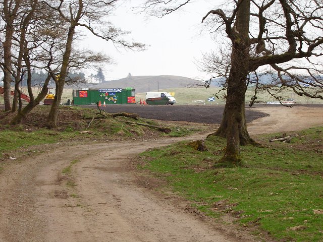
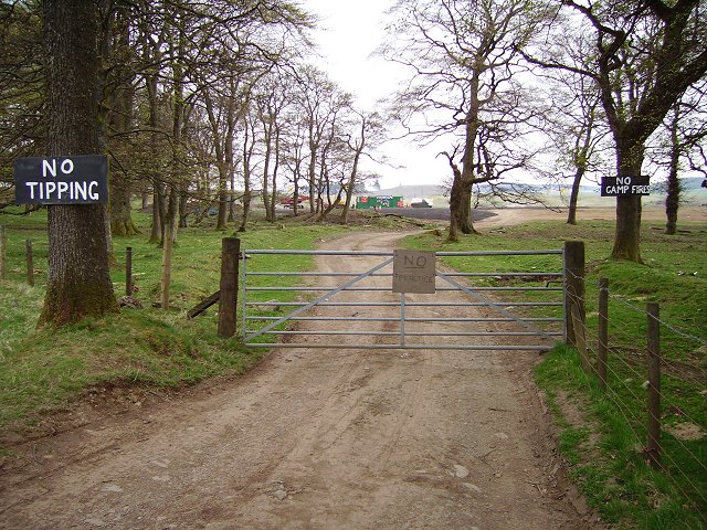
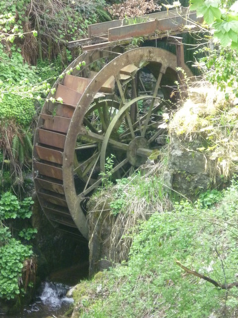
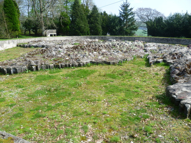
Ada Hill Images

Images are sourced within 2km of 55.723078/-3.2203232 or Grid Reference NT2348. Thanks to Geograph Open Source API. All images are credited.

Eddleston Water Beside the trackbed of the old Peebles to Edinburgh Railway.
(Taken from a layby on the A703 polluted with much litter.)
Eddleston Water
Beside the trackbed of the old Peebles to Edinburgh Railway. (Taken from a layby on the A703 polluted with much litter.)
Motocross course, Shiplaw Rough moorland by the Shiplaw Burn providing a venue for motocross motorbike events. Compare the same scene in 2006: <a href="https://www.geograph.org.uk/photo/165179">NT2350 : MotoX Shiplaw</a>.
Motocross course, Shiplaw
Rough moorland by the Shiplaw Burn providing a venue for motocross motorbike events. Compare the same scene in 2006: NT2350 : MotoX Shiplaw.
MotoX Shiplaw Motocross circuit near Shiplaw, marked as a sheepfold on the 1:25000 OS map.
MotoX Shiplaw
Motocross circuit near Shiplaw, marked as a sheepfold on the 1:25000 OS map.
No, no, no! Flytipping vermin don't read notices - also implies it's OK elsewhere, but a nice try. Meanwhile the lovely grassy picnic areas in the nearby Meldons were getting trashed by tipping and camp fires.  Best of luck!
No, no, no!
Flytipping vermin don't read notices - also implies it's OK elsewhere, but a nice try. Meanwhile the lovely grassy picnic areas in the nearby Meldons were getting trashed by tipping and camp fires. Best of luck!
Shiplaw Burn Burn cutting down through a sandy area, probably deposited by glaciers.
Shiplaw Burn
Burn cutting down through a sandy area, probably deposited by glaciers.
Plantation and rough grazing on White Rig Rushy moorland pasture and larches just showing signs of bud bursting.
Plantation and rough grazing on White Rig
Rushy moorland pasture and larches just showing signs of bud bursting.
Looking through the trees near Shiplaw Burn
Eddleston Water
Eddleston Water
Trees, Shiplaw Grazed woodland.
Trees, Shiplaw
Grazed woodland.
Cowieslinn Quarry from the air Operated by Cemex, providing aggregares and asphalt.

Web site: <span class="nowrap"><a title="https://www.cemex.co.uk/cowieslinn-quarry-and-asphalt-plant.aspx" rel="nofollow ugc noopener" href="https://www.cemex.co.uk/cowieslinn-quarry-and-asphalt-plant.aspx">Link</a><img style="margin-left:2px;" alt="External link" title="External link - shift click to open in new window" src="https://s1.geograph.org.uk/img/external.png" width="10" height="10"/></span> .
Cowieslinn Quarry from the air
Operated by Cemex, providing aggregares and asphalt. Web site: LinkExternal link .
Woodland, Shiplaw Motocross course beyond. Not in use today, probably banned at the time (Spring 2021), so quiet.
Woodland, Shiplaw
Motocross course beyond. Not in use today, probably banned at the time (Spring 2021), so quiet.
Woodland near Shiplaw Cowieslinn Quarry has grown!
Woodland near Shiplaw
Cowieslinn Quarry has grown!
Shiplaw to Lamancha road
Barony Castle Hotel, Eddleston
Waterwheel on the Dean Burn
Old waterwheel at Barony Castle
Barony Castle map of Scotland, Eddleston When I heard that a topographical map of Scotland, carved in stone by Polish army veterans, existed in the grounds of the Barony Castle Hotel, I expected to find something the size of a dining table. I was taken aback on discovering the scale of this massive sculpture which is in fact made of moulded concrete. The viewing platform cannot do it justice until it is raised by another thirty feet at least to gain a good overview of the whole. Those who want the bird's eye view can find it on GoogleEarth at NT 23656 47179. Ground-level photographs fail to deliver the overall visual impact of the map on the beholder. This one is taken standing east of Caithness, looking south across the Moray Firth. For more about this remarkablea artefact, see <span class="nowrap"><a title="http://www.mapascotland.org/" rel="nofollow ugc noopener" href="http://www.mapascotland.org/">Link</a><img style="margin-left:2px;" alt="External link" title="External link - shift click to open in new window" src="https://s1.geograph.org.uk/img/external.png" width="10" height="10"/></span>
Barony Castle map of Scotland, Eddleston
When I heard that a topographical map of Scotland, carved in stone by Polish army veterans, existed in the grounds of the Barony Castle Hotel, I expected to find something the size of a dining table. I was taken aback on discovering the scale of this massive sculpture which is in fact made of moulded concrete. The viewing platform cannot do it justice until it is raised by another thirty feet at least to gain a good overview of the whole. Those who want the bird's eye view can find it on GoogleEarth at NT 23656 47179. Ground-level photographs fail to deliver the overall visual impact of the map on the beholder. This one is taken standing east of Caithness, looking south across the Moray Firth. For more about this remarkablea artefact, see LinkExternal link
Show me another place!

Ada Hill is located at Grid Ref: NT2348 (Lat: 55.723078, Lng: -3.2203232)

Unitary Authority: The Scottish Borders

Police Authority: The Lothians and Scottish Borders

What 3 Words

///cashiers.quits.seriously. Near Peebles, Scottish Borders

Related Wikis

Darnhall Mains

Darnhall Mains is a farm and settlement off the A703, near Eddleston and the Eddleston Water in the Scottish Borders area of Scotland, in the former Peeblesshire...

Black Barony

Barony Castle, also and formerly known as Black Barony, and Darnhall, is a historic house at Eddleston in the Scottish Borders area of Scotland. The house...

Great Polish Map of Scotland

The Great Polish Map of Scotland is a large (50 m x 40 m) three-dimensional, outdoor concrete scale model of Scotland, located in the grounds of the Barony...

Eddleston railway station

Eddleston railway station served the village of Eddleston, Scottish Borders, Scotland from 1855 to 1962 on the Peebles Railway. == History == The station...

Eddleston

Eddleston (Scottish Gaelic: Baile Ghille Mhoire) is a small village and civil parish in the Scottish Borders area of Scotland. It lies 4 miles (6.4 km...

Earlyvale Gate railway station

Earlyvale Gate railway station served the Dundas family residence in Earlyvale, Scottish Borders, Scotland for 8 months (June 1856 - February 1857) on...

Northshield Rings

Northshield Rings is a prehistoric site, a hillfort near the village of Eddleston and about 6 miles (10 km) north of Peebles, in the Scottish Borders,...

Milkieston Rings

Milkieston Rings is a prehistoric site, a hillfort near the village of Eddleston and about 3 miles (5 km) north of Peebles, in the Scottish Borders, Scotland...

Nearby Amenities

Located within 500m of 55.723078,-3.2203232
Power: pole
Lat/Long: 55.726339/-3.222375
Power: pole
Lat/Long: 55.7242304/-3.223407
Power: pole
Lat/Long: 55.7228642/-3.2240786
Power: pole
Lat/Long: 55.7220426/-3.2242942
Power: pole
Lat/Long: 55.7212206/-3.2244863
Power: pole
Lat/Long: 55.7204894/-3.224674
Power: pole
Lat/Long: 55.7197341/-3.2248585
Power: pole
Lat/Long: 55.7197038/-3.2246342
Power: pole
Lat/Long: 55.7204638/-3.2244521
Power: pole
Lat/Long: 55.7220245/-3.2240506
Power: pole
Lat/Long: 55.7228302/-3.2238327
Power: pole
Lat/Long: 55.7235462/-3.2235055
Power: pole
Lat/Long: 55.724229/-3.2231675
Power: pole
Lat/Long: 55.7256549/-3.2224433
Power: pole
Lat/Long: 55.7263409/-3.2221039
Black Barony
Place: locality
Lat/Long: 55.7199284/-3.217299
Power: pole
Lat/Long: 55.7212673/-3.2242314
Power: pole
Lat/Long: 55.7235358/-3.2237485
Power: pole
Lat/Long: 55.7249501/-3.2230432
Power: pole
Lat/Long: 55.7249453/-3.2228038
Power: pole
Lat/Long: 55.7256267/-3.2227011
Power: pole
Lat/Long: 55.7270229/-3.2217745
Power: pole
Lat/Long: 55.7269277/-3.222086
Power: pole
Lat/Long: 55.7223175/-3.2126315
Power: pole
Lat/Long: 55.7230789/-3.2128838
Power: pole
Lat/Long: 55.7238592/-3.2131424
Power: pole
Lat/Long: 55.7246536/-3.2134283
The data included in this document is from www.openstreetmap.org. The data is made available under ODbL.

Have you been to Ada Hill?

Leave your review of Ada Hill below (or comments, questions and feedback).