Darnhall Mains Strip
Wood, Forest in Peeblesshire
Scotland
Darnhall Mains Strip
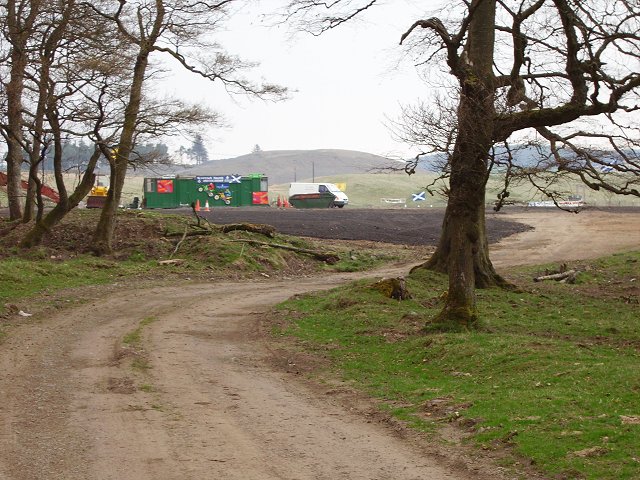
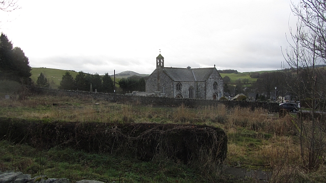
Darnhall Mains Strip, located in Peeblesshire, is a captivating wood and forest area renowned for its natural beauty and diverse ecosystem. Spread across a vast expanse, this woodland exudes tranquility and offers a haven for outdoor enthusiasts, nature lovers, and wildlife enthusiasts alike.
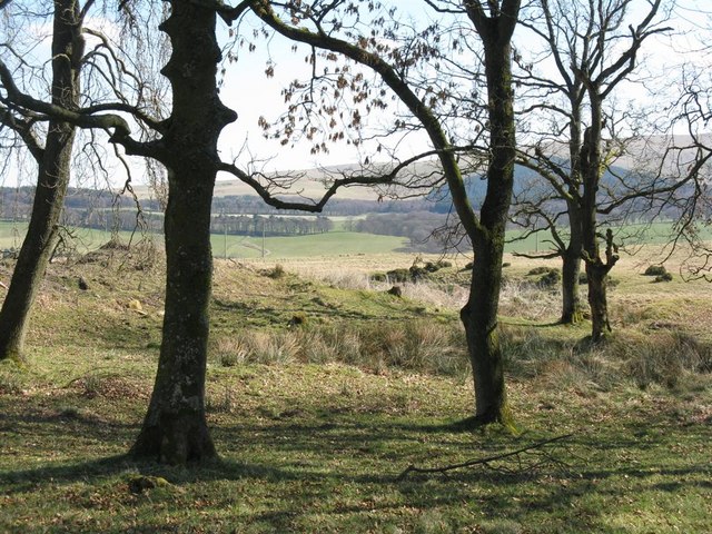
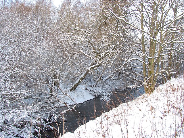
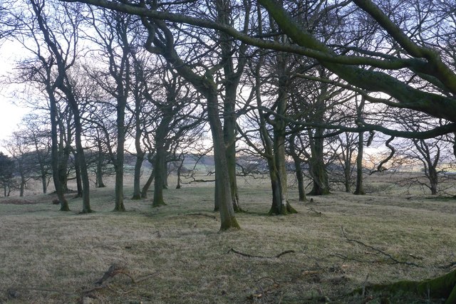
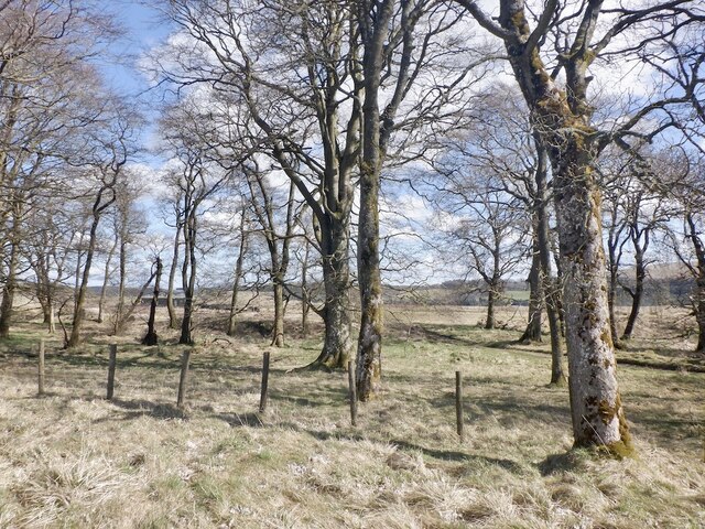
The strip is characterized by a mix of deciduous and coniferous trees, creating a stunning tapestry of varying shades of green throughout the year. Majestic oak, beech, and birch trees dominate the landscape, providing a sheltered habitat for numerous species of flora and fauna. The forest floor is adorned with a rich carpet of wildflowers, ferns, and mosses, adding to the enchanting ambiance of the area.
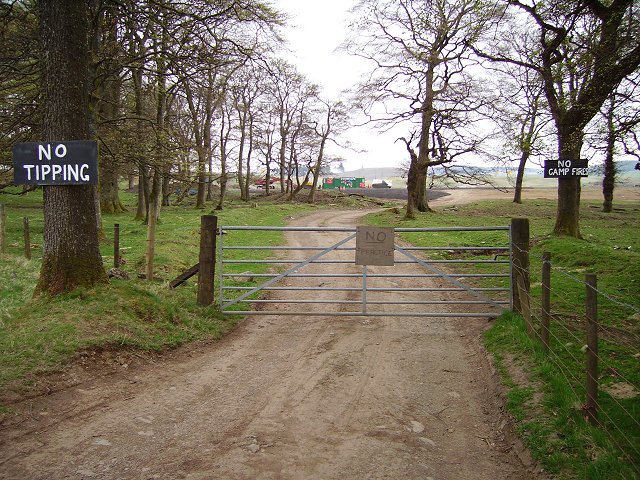
Walking trails meander through the forest, allowing visitors to explore its hidden treasures at their own pace. These trails cater to both leisurely strolls and more challenging hikes, offering something for everyone. Along the way, one may encounter charming wildlife such as red squirrels, deer, and a variety of bird species, making it a paradise for avid birdwatchers.
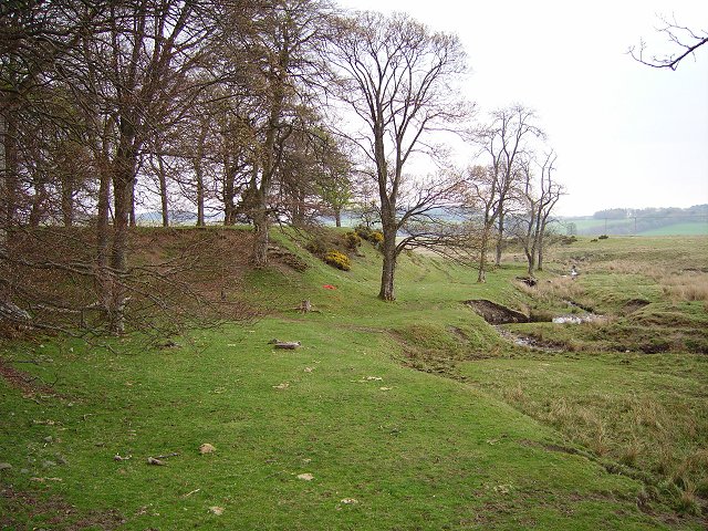
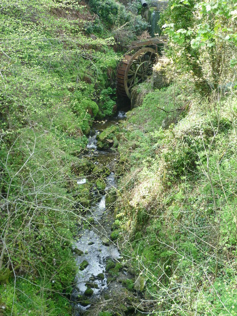
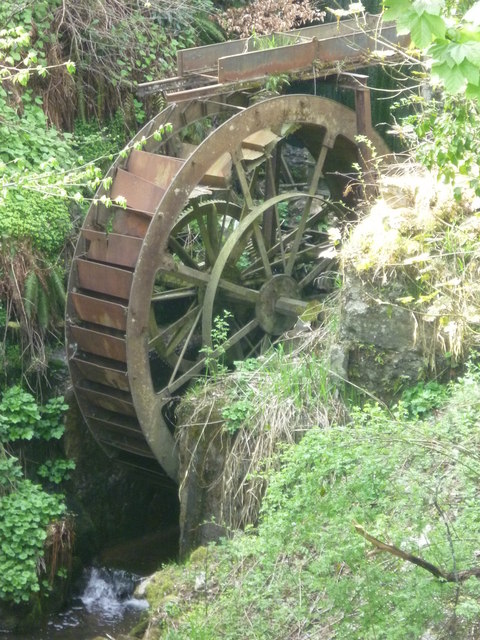
Darnhall Mains Strip is also home to a small stream that meanders through the woods, providing a serene and picturesque setting. The sound of trickling water adds to the sense of tranquility, making it an ideal spot for those seeking solace in nature.
With its breathtaking landscapes and abundant biodiversity, Darnhall Mains Strip in Peeblesshire stands as a testament to the resilience and beauty of the natural world. It offers visitors an opportunity to immerse themselves in the wonders of this woodland, providing a much-needed escape from the hustle and bustle of daily life.
If you have any feedback on the listing, please let us know in the comments section below.
Darnhall Mains Strip Images
Images are sourced within 2km of 55.721424/-3.2176129 or Grid Reference NT2348. Thanks to Geograph Open Source API. All images are credited.

Darnhall Mains Strip is located at Grid Ref: NT2348 (Lat: 55.721424, Lng: -3.2176129)
Unitary Authority: The Scottish Borders
Police Authority: The Lothians and Scottish Borders
What 3 Words
///galloped.canny.jacuzzi. Near Peebles, Scottish Borders
Nearby Locations
Related Wikis

Darnhall Mains
Darnhall Mains is a farm and settlement off the A703, near Eddleston and the Eddleston Water in the Scottish Borders area of Scotland, in the former Peeblesshire...

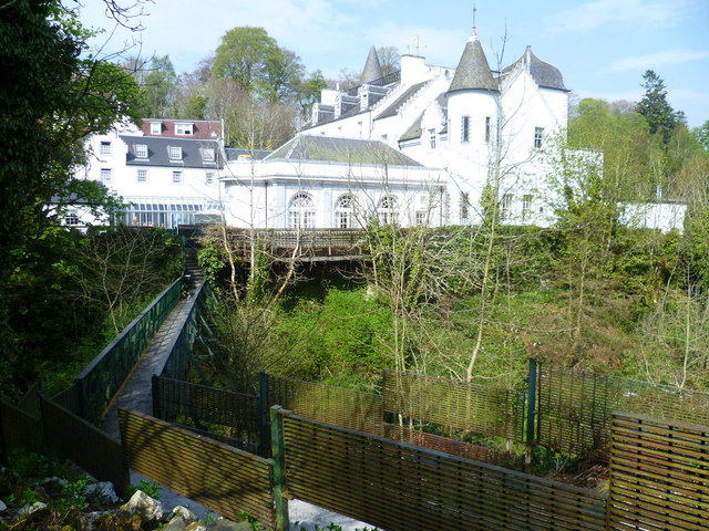
Black Barony
Barony Castle, also and formerly known as Black Barony, and Darnhall, is a historic house at Eddleston in the Scottish Borders area of Scotland. The house...

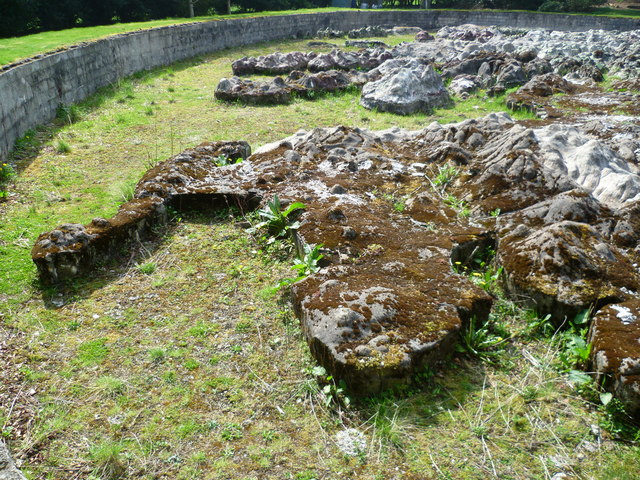
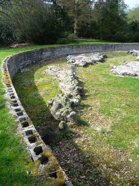
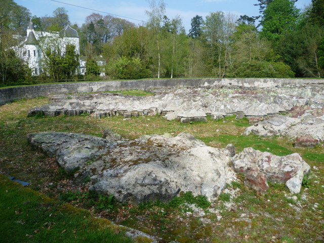
Great Polish Map of Scotland
The Great Polish Map of Scotland is a large (50 m x 40 m) three-dimensional, outdoor concrete scale model of Scotland, located in the grounds of the Barony...

Eddleston railway station
Eddleston railway station served the village of Eddleston, Scottish Borders, Scotland from 1855 to 1962 on the Peebles Railway. == History == The station...
Nearby Amenities
Located within 500m of 55.721424,-3.2176129Have you been to Darnhall Mains Strip?
Leave your review of Darnhall Mains Strip below (or comments, questions and feedback).