Crow Wood
Wood, Forest in Peeblesshire
Scotland
Crow Wood
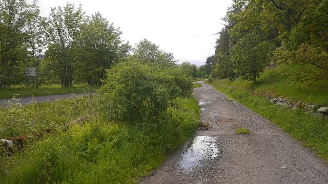
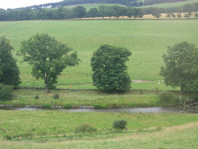
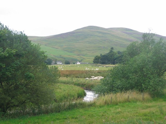
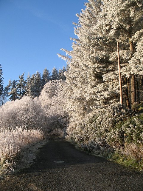
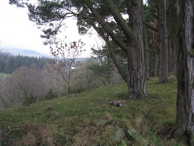
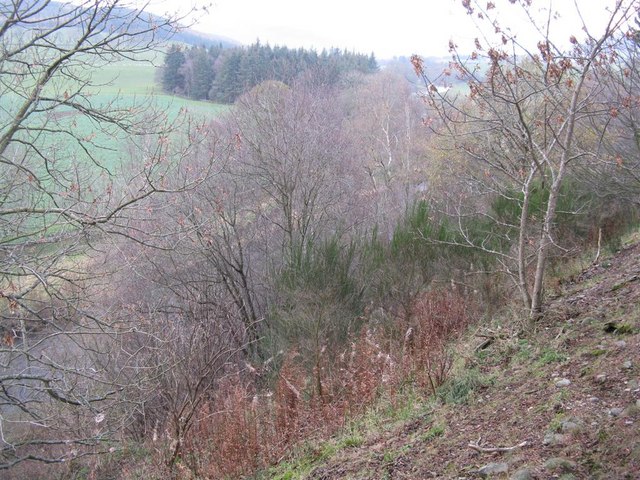
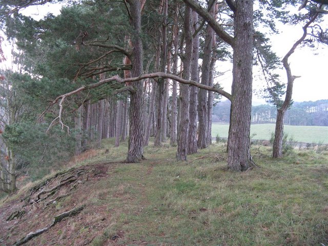
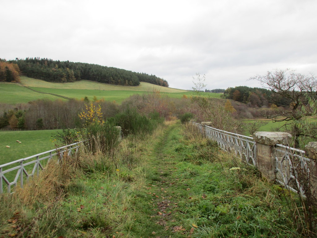
Crow Wood is a picturesque woodland located in Peeblesshire, Scotland. Covering an area of approximately 100 acres, it is a haven for nature enthusiasts and hikers alike. The woodland is renowned for its diverse range of flora and fauna, making it a perfect destination for those seeking tranquility and a close connection with nature.
The wood is predominantly made up of towering oak and beech trees, their majestic presence creating a dense canopy that provides shade and shelter for the abundance of wildlife that calls Crow Wood home. Underneath the canopy, a rich understory of ferns, mosses, and wildflowers flourishes, adding to the enchanting atmosphere.
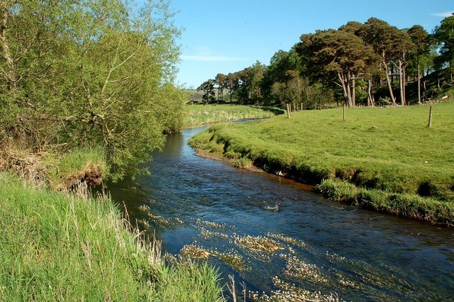
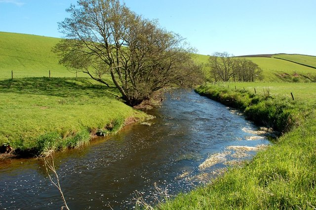
Numerous trails wind their way through the woodland, allowing visitors to explore and discover its hidden treasures. Along these paths, one can stumble upon charming streams and small waterfalls, their gentle sounds adding to the soothing ambiance.
Birdwatchers will be delighted by the variety of avian species found in Crow Wood. From woodpeckers and owls to songbirds and raptors, the woodland provides a diverse habitat for these winged creatures. Additionally, the wood is home to several mammal species, including red squirrels, badgers, and roe deer, which can often be spotted going about their daily routines.
Crow Wood is not only a natural wonder but also a valuable educational resource. Local schools and nature enthusiasts often organize educational visits to learn about the woodland ecosystem and the importance of conservation.
In summary, Crow Wood in Peeblesshire is a captivating forest that offers a serene sanctuary for nature lovers. With its lush vegetation, thriving wildlife, and tranquil ambiance, it is a place of beauty and tranquility that should not be missed.
If you have any feedback on the listing, please let us know in the comments section below.
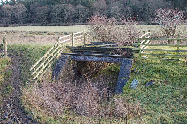
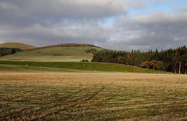
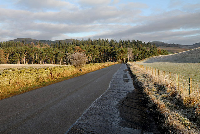
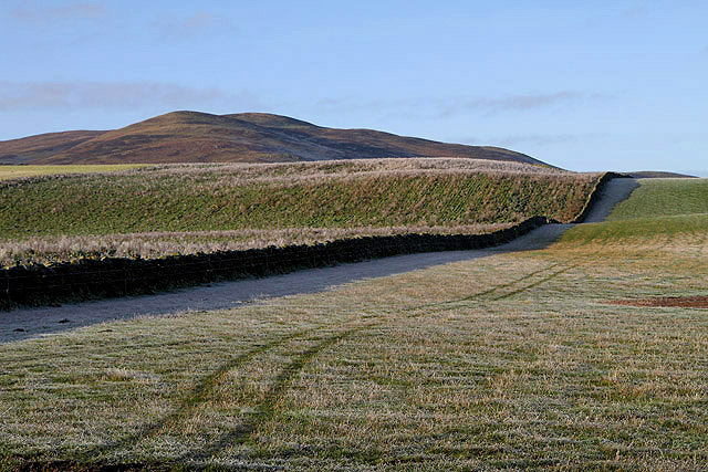
Crow Wood Images
Images are sourced within 2km of 55.643904/-3.2496694 or Grid Reference NT2139. Thanks to Geograph Open Source API. All images are credited.


Crow Wood is located at Grid Ref: NT2139 (Lat: 55.643904, Lng: -3.2496694)
Unitary Authority: The Scottish Borders
Police Authority: The Lothians and Scottish Borders
What 3 Words
///baseless.defends.info. Near Peebles, Scottish Borders
Nearby Locations
Related Wikis
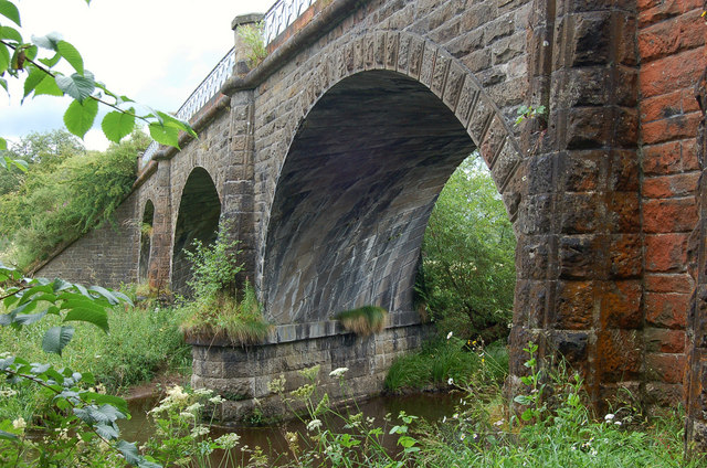
Lyne Viaduct
Lyne Viaduct is a viaduct at Lyne in the Scottish Borders of Scotland. It consists of three stone skew arches and a plate girder approach span over a minor...
Lyne railway station
Lyne railway station served the village of Lyne, Scottish Borders, Scotland from 1864 to 1950 on the Symington, Biggar and Broughton Railway. == History... ==

Lyne, Scottish Borders
Lyne (Scottish Gaelic: An Lainn) is a small village and civil parish in the Scottish Borders area of Scotland, 4 miles (6.4 km) west of the market town...

Manor Water
Manor Water is a river in the parish of Manor, Peeblesshire in the Scottish Borders. It rises in the Ettrick Forest and flows down through the Maynor valley...
Nearby Amenities
Located within 500m of 55.643904,-3.2496694Have you been to Crow Wood?
Leave your review of Crow Wood below (or comments, questions and feedback).