Barrington Muir Plantation
Wood, Forest in Fife
Scotland
Barrington Muir Plantation
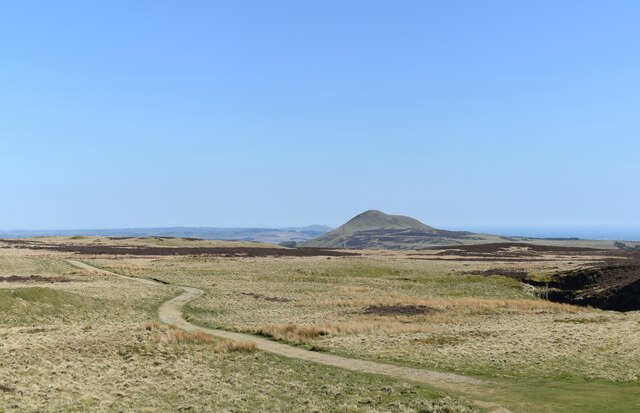
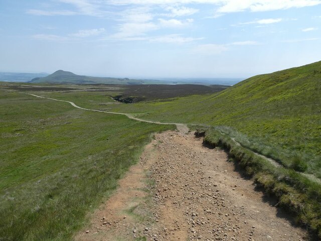
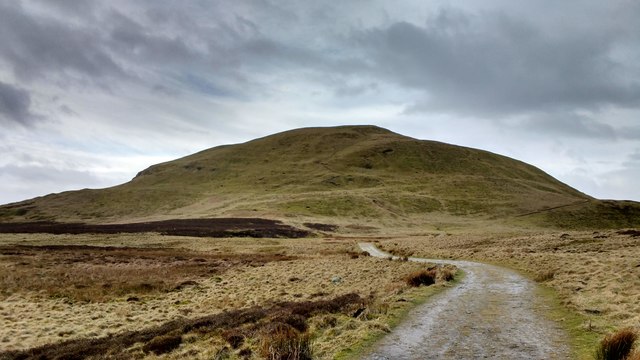
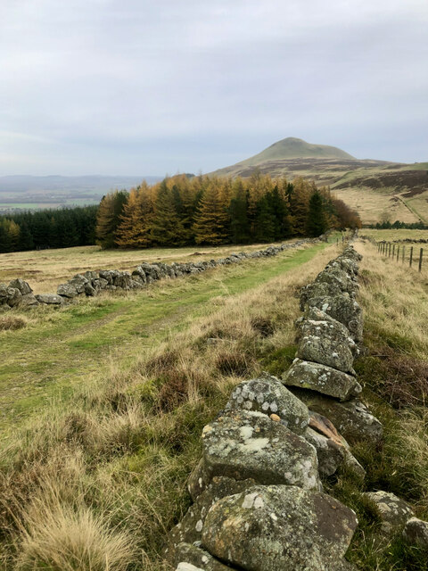
Barrington Muir Plantation is a picturesque woodland located in Fife, Scotland. Spread across a sprawling area, this plantation is known for its lush greenery, diverse flora, and serene atmosphere. The plantation is nestled in the heart of Fife, surrounded by rolling hills and beautiful landscapes.
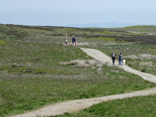
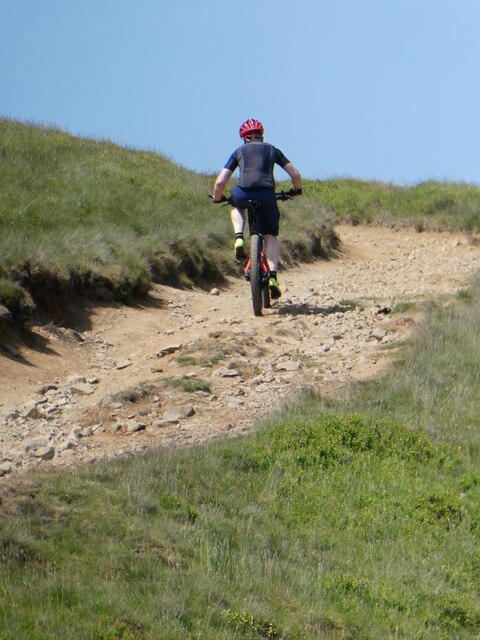
The woodland is home to a variety of tree species, including oak, beech, birch, and pine. These trees provide a dense canopy, creating a tranquil and peaceful environment. The plantation attracts nature enthusiasts and hikers, who can explore the numerous walking trails that wind through the woods.
Barrington Muir Plantation also boasts a rich wildlife population. Visitors may spot various woodland creatures such as deer, foxes, rabbits, and a wide array of bird species. The plantation serves as an important habitat for these animals, offering shelter and sustenance.
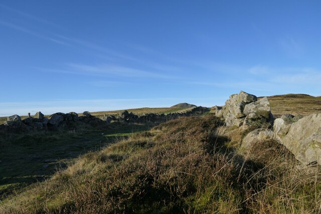
In addition to its natural beauty, Barrington Muir Plantation has historical significance. It was once part of a larger estate and has witnessed centuries of human activity. The plantation has remnants of old stone walls and ruins, which provide glimpses into its past.
Overall, Barrington Muir Plantation is a hidden gem in Fife, offering visitors a chance to immerse themselves in nature and experience the tranquility of a Scottish woodland. Whether it's a leisurely stroll or a more adventurous hike, this plantation provides a captivating and refreshing escape from the hustle and bustle of everyday life.
If you have any feedback on the listing, please let us know in the comments section below.
Barrington Muir Plantation Images
Images are sourced within 2km of 56.257881/-3.2696581 or Grid Reference NO2107. Thanks to Geograph Open Source API. All images are credited.


![Standing stone, Balharvie Moss Recognised as prehistoric. ‘Balharvie Moss | Canmore’. 2022. Canmore.org.uk &lt;<span class="nowrap"><a title="https://canmore.org.uk/site/29932/balharvie-moss" rel="nofollow ugc noopener" href="https://canmore.org.uk/site/29932/balharvie-moss">Link</a><img style="margin-left:2px;" alt="External link" title="External link - shift click to open in new window" src="https://s1.geograph.org.uk/img/external.png" width="10" height="10"/></span> &gt; [accessed 29 October 2022]](https://s2.geograph.org.uk/geophotos/07/32/88/7328866_cca55b4f.jpg)
![A semi-circle of nine small boulders Probably one of the several prehistoric hut circles in the vicinity.
‘Belharvie Moss | Canmore’. 2022. Canmore.org.uk &lt;<span class="nowrap"><a title="https://canmore.org.uk/site/29877/belharvie-moss" rel="nofollow ugc noopener" href="https://canmore.org.uk/site/29877/belharvie-moss">Link</a><img style="margin-left:2px;" alt="External link" title="External link - shift click to open in new window" src="https://s1.geograph.org.uk/img/external.png" width="10" height="10"/></span> &gt; [accessed 29 October 2022]](https://s2.geograph.org.uk/geophotos/07/32/88/7328874_3570450b.jpg)
![Possible Cist Two stones set vertically in the earth at right angles to each other suggest a cist. But on the other hand it may be natural.
‘Balharvie Moss | Canmore’. 2022. Canmore.org.uk &lt;<span class="nowrap"><a title="https://canmore.org.uk/site/29874/balharvie-moss" rel="nofollow ugc noopener" href="https://canmore.org.uk/site/29874/balharvie-moss">Link</a><img style="margin-left:2px;" alt="External link" title="External link - shift click to open in new window" src="https://s1.geograph.org.uk/img/external.png" width="10" height="10"/></span> &gt; [accessed 29 October 2022]](https://s3.geograph.org.uk/geophotos/07/32/88/7328879_70e7ef22.jpg)
Barrington Muir Plantation is located at Grid Ref: NO2107 (Lat: 56.257881, Lng: -3.2696581)
Unitary Authority: Fife
Police Authority: Fife
What 3 Words
///against.reckons.enacted. Near Falkland, Fife
Nearby Locations
Related Wikis

Strathmiglo
Strathmiglo (Scottish Gaelic: Srath Mioglach) (Ordnance Survey grid reference NO214101) is a village and parish in Fife, Scotland on the River Eden. It...

West Lomond
West Lomond is the highest point in the county of Fife, Scotland and the highest peak in the Lomond Hills. Its cone-shaped summit, which is the remains...
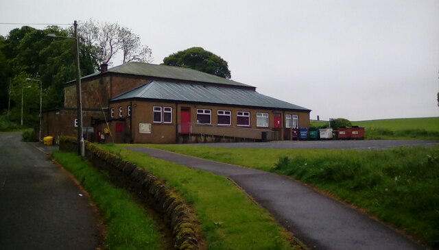
Strathmiglo Town House
Strathmiglo Town House is a municipal structure in the High Street, Strathmiglo, Fife, Scotland. The structure, which is now disused, is a Category A listed...

Strathmiglo railway station
Strathmiglo railway station served the village of Strathmiglo, Fife, Scotland from 1857 to 1950 on the Fife and Kinross Railway. == History == The station...
Nearby Amenities
Located within 500m of 56.257881,-3.2696581Have you been to Barrington Muir Plantation?
Leave your review of Barrington Muir Plantation below (or comments, questions and feedback).