Barns
Settlement in Peeblesshire
Scotland
Barns
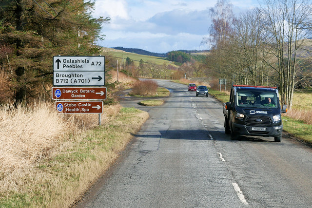
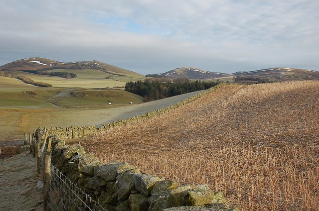
Barns is a small village located in the region of Peeblesshire, Scotland. Situated approximately 2 miles south of the town of Peebles, Barns is nestled in a picturesque rural setting with stunning views of the surrounding countryside.
The village is primarily residential, consisting of a cluster of houses and cottages. The architecture in Barns reflects the traditional Scottish style, with many buildings featuring stone walls and slate roofs. The community maintains a close-knit atmosphere, and residents take pride in their well-maintained properties and beautiful gardens.
Despite its small size, Barns offers a range of amenities to its residents. The village has a local primary school, providing education for the younger population. There is also a community hall that serves as a hub for various activities and social events throughout the year. Additionally, a nearby village shop caters to the daily needs of the locals.
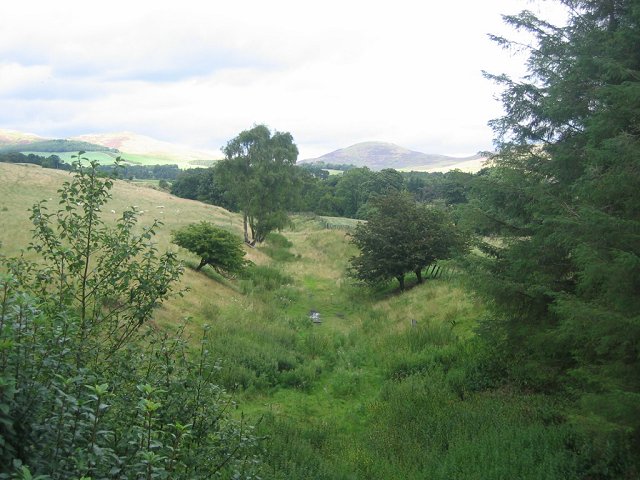
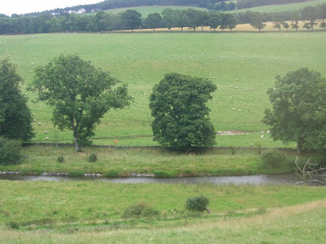
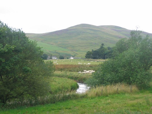
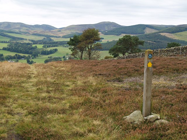
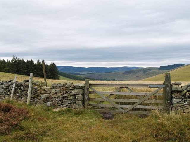
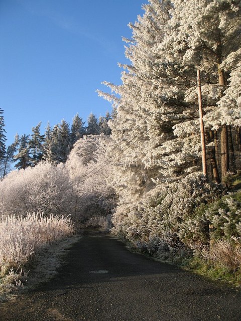
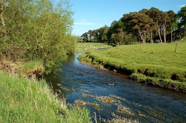
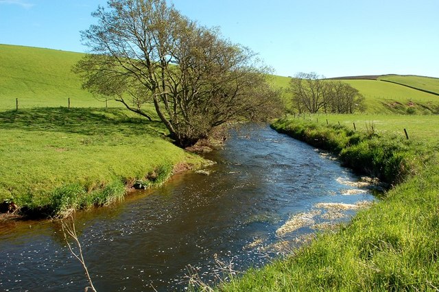
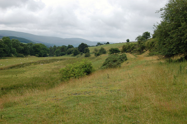
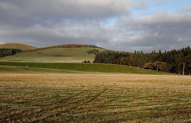
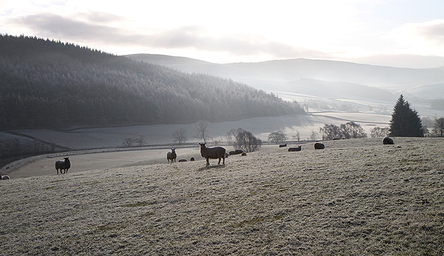
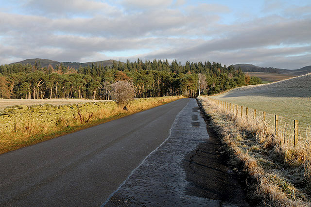
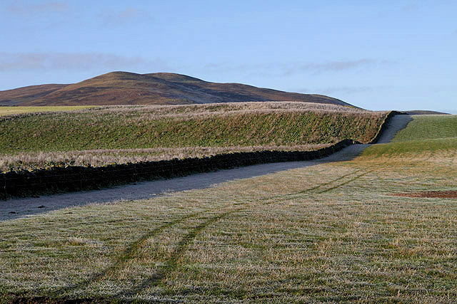
The natural beauty of the area surrounding Barns makes it an attractive destination for outdoor enthusiasts. The village is surrounded by rolling hills, forests, and rivers, offering plenty of opportunities for walking, cycling, and fishing. The nearby Tweed Valley Forest Park is a popular spot for nature lovers, providing extensive trails and breathtaking views.
Overall, Barns embodies the charm of a typical Scottish village, offering a tranquil and idyllic lifestyle to its residents. With its stunning landscapes and community spirit, this little village is a hidden gem in Peeblesshire.
If you have any feedback on the listing, please let us know in the comments section below.
Barns Images
Images are sourced within 2km of 55.63811/-3.2565385 or Grid Reference NT2139. Thanks to Geograph Open Source API. All images are credited.

Barns is located at Grid Ref: NT2139 (Lat: 55.63811, Lng: -3.2565385)
Unitary Authority: The Scottish Borders
Police Authority: The Lothians and Scottish Borders
What 3 Words
///prank.issues.dealings. Near Peebles, Scottish Borders
Nearby Locations
Related Wikis
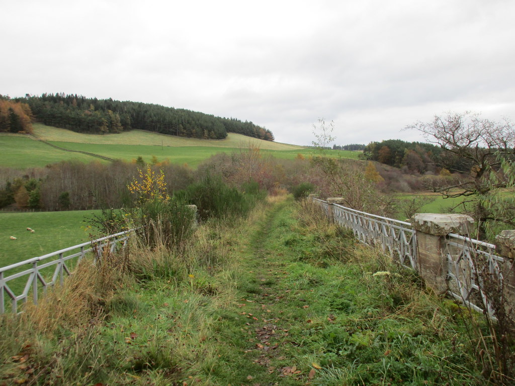
Lyne railway station
Lyne railway station served the village of Lyne, Scottish Borders, Scotland from 1864 to 1950 on the Symington, Biggar and Broughton Railway. == History... ==
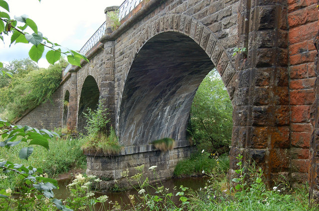
Lyne Viaduct
Lyne Viaduct is a viaduct at Lyne in the Scottish Borders of Scotland. It consists of three stone skew arches and a plate girder approach span over a minor...

Lyne, Scottish Borders
Lyne (Scottish Gaelic: An Lainn) is a small village and civil parish in the Scottish Borders area of Scotland, 4 miles (6.4 km) west of the market town...

Manor, Scottish Borders
Manor is a parish in Peeblesshire in the Scottish Borders, whose church lies on the west bank of Manor Water 3 miles south-west of Peebles.The parish...

Manor Water
Manor Water is a river in the parish of Manor, Peeblesshire in the Scottish Borders. It rises in the Ettrick Forest and flows down through the Maynor valley...

Lyne Kirk
Lyne Kirk is an ancient and historic kirk or church, of the Church of Scotland. It is situated on top of a mound adjacent to the A72 trunk route 4.5 miles...

Lyne Water
The Lyne Water is a tributary of the River Tweed that rises in the Pentland Hills of southern Scotland at Baddinsgill Reservoir. It runs through West Linton...

Neidpath Viaduct
Neidpath Viaduct, occasionally known as the Queen's Bridge, consists of eight stone skew arches and was built to carry the Symington to Peebles branch...
Nearby Amenities
Located within 500m of 55.63811,-3.2565385Have you been to Barns?
Leave your review of Barns below (or comments, questions and feedback).