Edston Wood
Wood, Forest in Peeblesshire
Scotland
Edston Wood
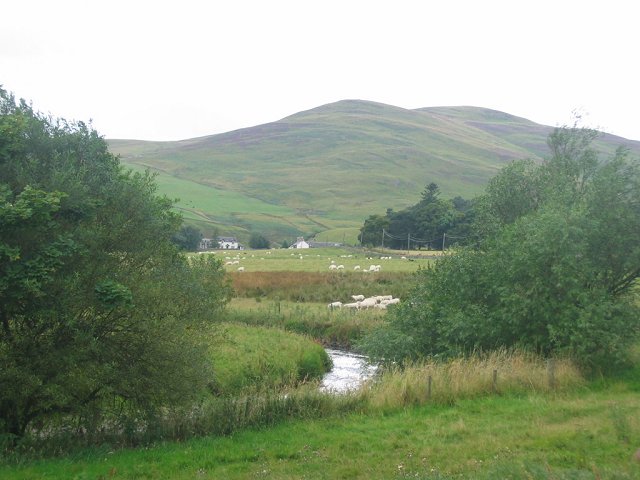
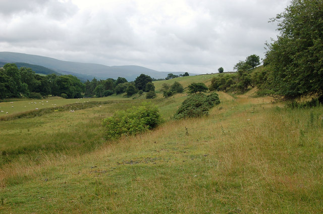
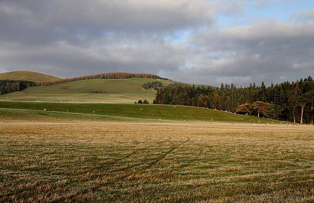
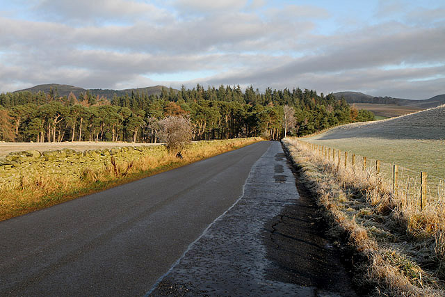
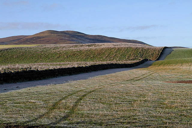
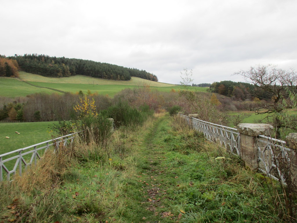
Edston Wood is a charming forest located in Peeblesshire, Scotland. Situated in the southern part of the country, it covers an area of approximately 500 acres. The wood is an integral part of the larger Tweed Valley Forest Park, which spans over 55,000 acres.
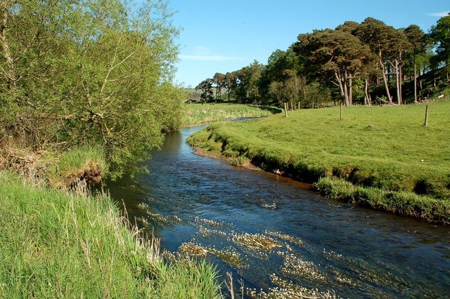
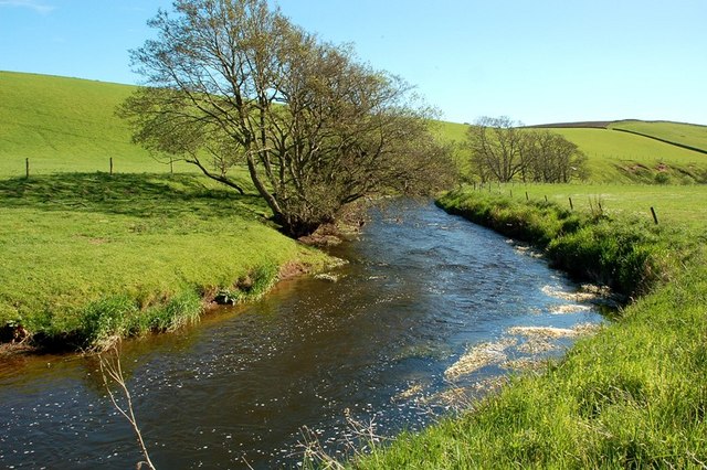
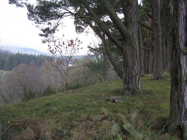
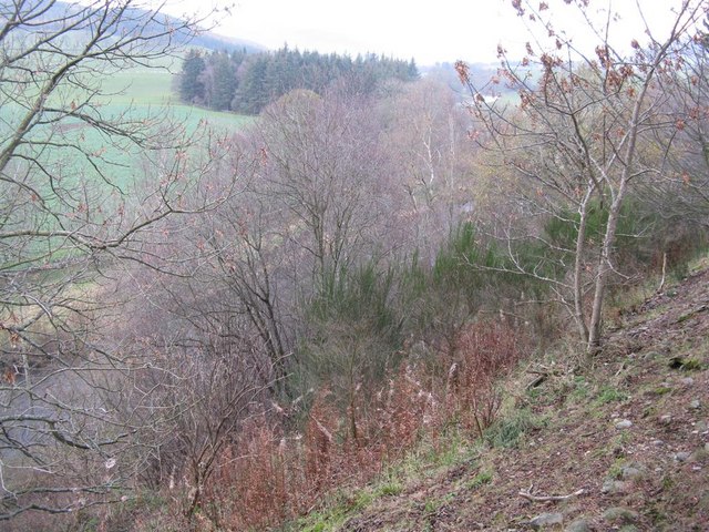
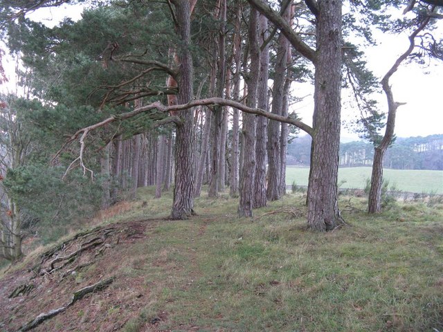
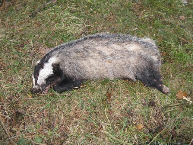
Edston Wood is known for its diverse range of flora and fauna, making it a haven for nature enthusiasts. The forest is predominantly made up of deciduous trees, including oak, birch, and beech. These trees create a lush canopy, providing shade and shelter for a variety of wildlife. Visitors to the wood can expect to encounter various bird species, such as woodpeckers and owls, as well as small mammals like squirrels and deer.
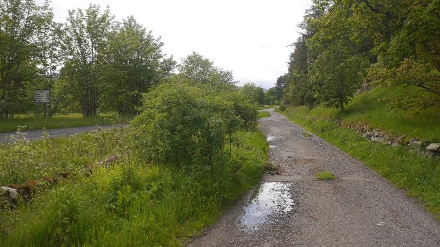
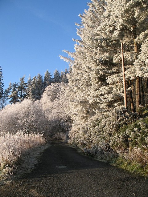
The wood offers a network of well-maintained walking trails, allowing visitors to explore the area at their own pace. These paths meander through the forest, offering glimpses of picturesque streams and cascading waterfalls. Additionally, there are designated picnic areas scattered throughout the wood, providing a perfect spot for visitors to relax and enjoy the tranquil surroundings.
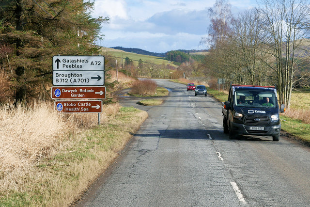
Edston Wood is easily accessible, located just off the A72 road. It is a popular destination for both locals and tourists looking to immerse themselves in nature. Whether it's a leisurely stroll through the trees, a picnic with loved ones, or birdwatching, Edston Wood offers a peaceful retreat away from the hustle and bustle of everyday life.
If you have any feedback on the listing, please let us know in the comments section below.
Edston Wood Images
Images are sourced within 2km of 55.65052/-3.2494669 or Grid Reference NT2140. Thanks to Geograph Open Source API. All images are credited.


Edston Wood is located at Grid Ref: NT2140 (Lat: 55.65052, Lng: -3.2494669)
Unitary Authority: The Scottish Borders
Police Authority: The Lothians and Scottish Borders
What 3 Words
///documents.upward.pricier. Near Peebles, Scottish Borders
Nearby Locations
Related Wikis
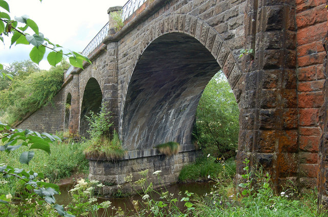
Lyne Viaduct
Lyne Viaduct is a viaduct at Lyne in the Scottish Borders of Scotland. It consists of three stone skew arches and a plate girder approach span over a minor...

Lyne, Scottish Borders
Lyne (Scottish Gaelic: An Lainn) is a small village and civil parish in the Scottish Borders area of Scotland, 4 miles (6.4 km) west of the market town...
Lyne railway station
Lyne railway station served the village of Lyne, Scottish Borders, Scotland from 1864 to 1950 on the Symington, Biggar and Broughton Railway. == History... ==

Neidpath Viaduct
Neidpath Viaduct, occasionally known as the Queen's Bridge, consists of eight stone skew arches and was built to carry the Symington to Peebles branch...
Nearby Amenities
Located within 500m of 55.65052,-3.2494669Have you been to Edston Wood?
Leave your review of Edston Wood below (or comments, questions and feedback).