Longhill Plantation
Wood, Forest in Fife
Scotland
Longhill Plantation
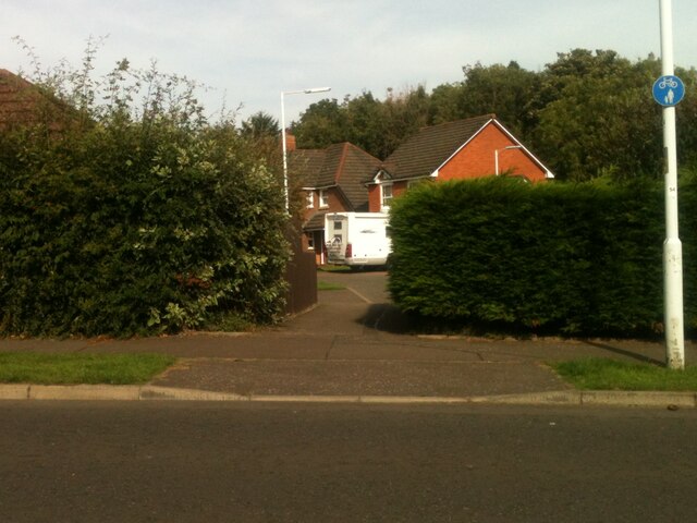
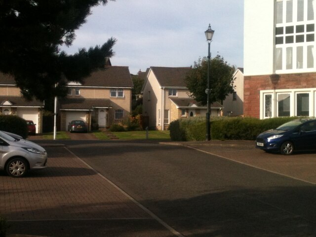
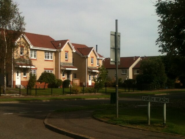
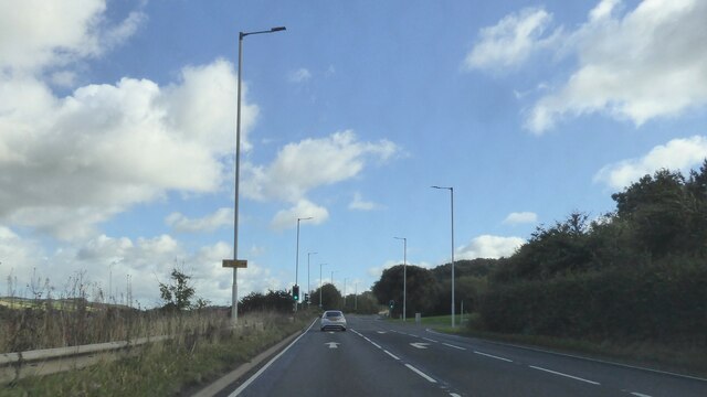
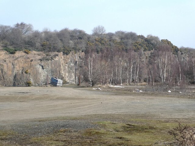
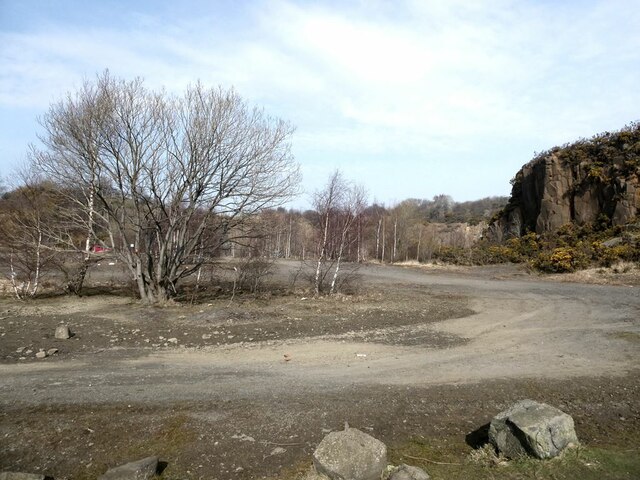
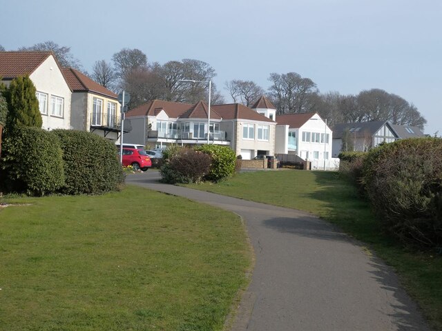
Longhill Plantation is a picturesque woodland located in Fife, Scotland. Situated within the beautiful countryside, it covers an area of approximately 100 hectares. The plantation is known for its diverse collection of trees, creating a vibrant and enchanting forest.
The woodland consists of a mixture of both native and non-native tree species, including oak, birch, beech, and Scots pine. These trees provide a rich habitat for a variety of wildlife, making it a popular destination for nature enthusiasts and bird watchers. Visitors can spot a range of bird species, such as great spotted woodpeckers, redwings, and tawny owls, among others.
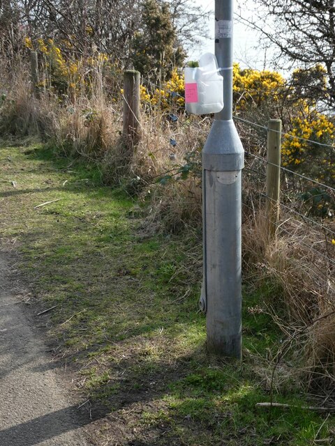
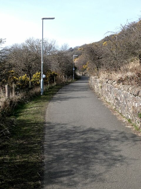
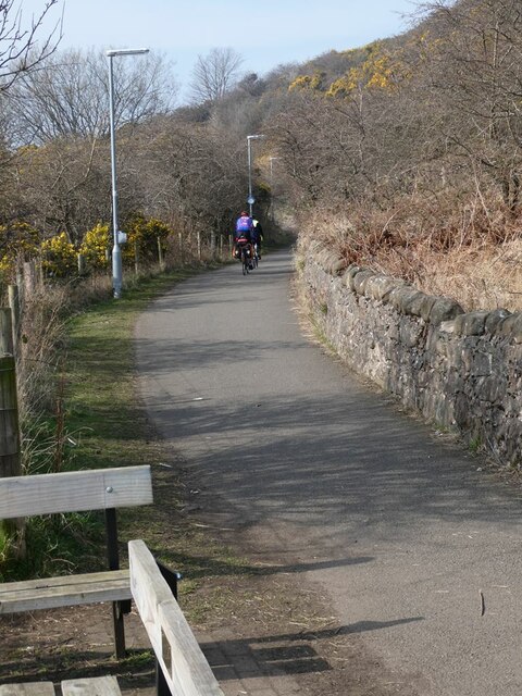
Longhill Plantation offers several well-maintained walking trails, allowing visitors to explore the natural beauty of the area. The paths wind through the forest, providing a serene and peaceful atmosphere. There are also designated picnic areas, where visitors can enjoy a packed lunch while surrounded by the tranquil surroundings.
The plantation is managed by the local forestry commission, ensuring the preservation and conservation of the woodland. They regularly undertake tree maintenance and planting initiatives to maintain the health and diversity of the forest. Longhill Plantation also serves as an educational resource, offering guided tours and workshops for schools and other groups interested in learning about woodland ecology and conservation.
With its stunning scenery and abundant wildlife, Longhill Plantation is a hidden gem in Fife, providing a wonderful escape into nature for all who visit.
If you have any feedback on the listing, please let us know in the comments section below.
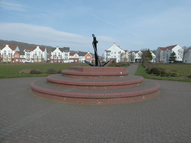
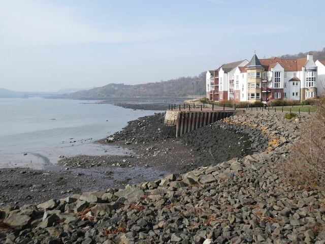
Longhill Plantation Images
Images are sourced within 2km of 56.032037/-3.3556013 or Grid Reference NT1582. Thanks to Geograph Open Source API. All images are credited.
Longhill Plantation is located at Grid Ref: NT1582 (Lat: 56.032037, Lng: -3.3556013)
Unitary Authority: Fife
Police Authority: Fife
What 3 Words
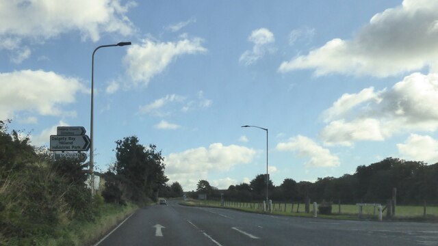
///exclaim.roof.ulterior. Near Dalgety Bay, Fife
Nearby Locations
Related Wikis
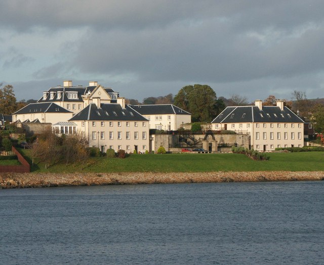
Donibristle
Donibristle (Scots: also Dunibirsle) was a house and estate in Fife, Scotland, on the coast of the Firth of Forth. Only the wings of the house remain,...

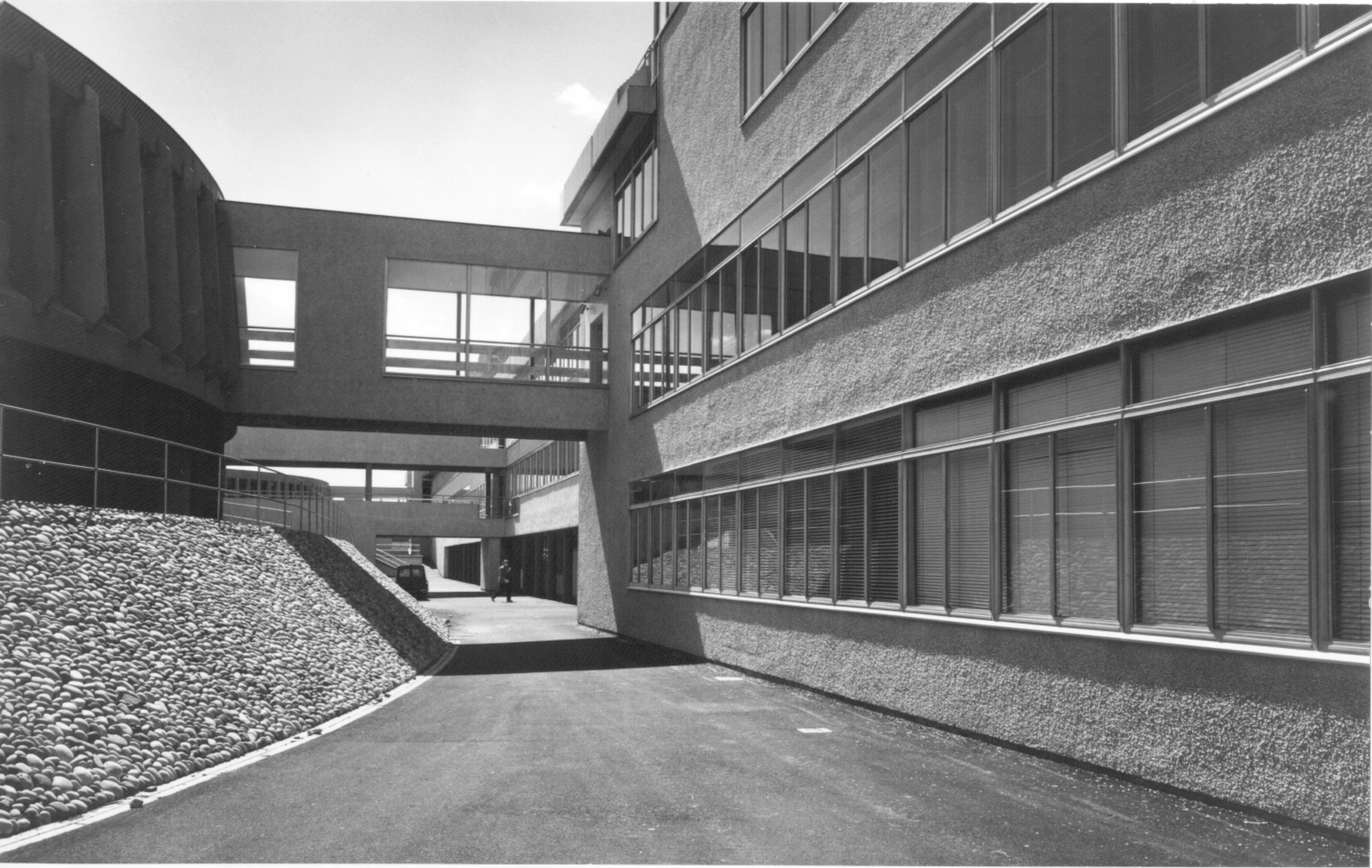
RNAS Donibristle (HMS Merlin)
Royal Naval Air Station Donibristle or more simply RNAS Donibristle is a former Fleet Air Arm base located 2.7 miles (4.3 km) east of Rosyth, Fife, and...

Dalgety Bay railway station
Dalgety Bay railway station serves the town of Dalgety Bay in Fife, Scotland. Lying on the Fife Circle and EdinburghーDundee lines, it is managed by ScotRail...

Dalgety Bay
Dalgety Bay ( ) is a coastal town and parish in Fife, Scotland. According to Fife Council, the town is home to , making this the eighth-largest place...
Hillend, Fife
Hillend is a small village in Fife, Scotland. It is located roughly to the north-west of Dalgety Bay. It is the location of Heil's manufacturing facilities...

St Bridget's Kirk
St. Bridget's Kirk is a ruined church on the outskirts of Dalgety Bay, Fife, Scotland. It is a shell of a medieval church, dating back at least as far...
Inverkeithing High School
Inverkeithing High School is a secondary school located in Inverkeithing, a historic former port town on the Fife coast. The existing building dates from...
Inverkeithing Hillfield Swifts F.C.
Inverkeithing Hillfield Swifts Football Club are a Scottish football club based at Dalgety Bay Sports centre in the town of Dalgety Bay, Fife. They compete...
Nearby Amenities
Located within 500m of 56.032037,-3.3556013Have you been to Longhill Plantation?
Leave your review of Longhill Plantation below (or comments, questions and feedback).