Tullielarbert Wood

Wood, Forest in Perthshire

Scotland

Tullielarbert Wood

Potato field, Kinclaven Defoliated and awaiting lifting.
Potato field, Kinclaven Credit: Richard Webb

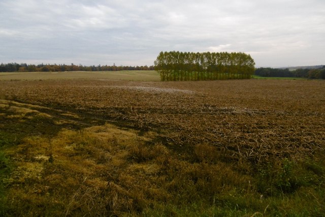
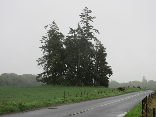
Tullielarbert Wood is a picturesque forest located in Perthshire, Scotland. It covers an area of approximately 200 hectares and is known for its natural beauty and diverse wildlife. The wood is situated near the town of Tullielarbert, providing easy access for visitors.

The wood is primarily composed of native broadleaf trees, including oak, birch, and beech, which create a lush and vibrant environment throughout the year. These trees provide important habitats for various bird species, such as woodpeckers, tits, and owls, making it a popular spot for birdwatching enthusiasts.

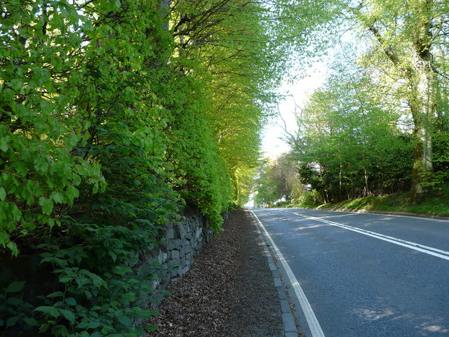
Tullielarbert Wood also features several walking trails, allowing visitors to explore its stunning surroundings. The trails wind through the forest, passing by tranquil ponds and streams, offering a peaceful and immersive experience in nature. Along the way, visitors may encounter a wide variety of plant species, including bluebells, wild garlic, and ferns, adding to the wood's charm and beauty.

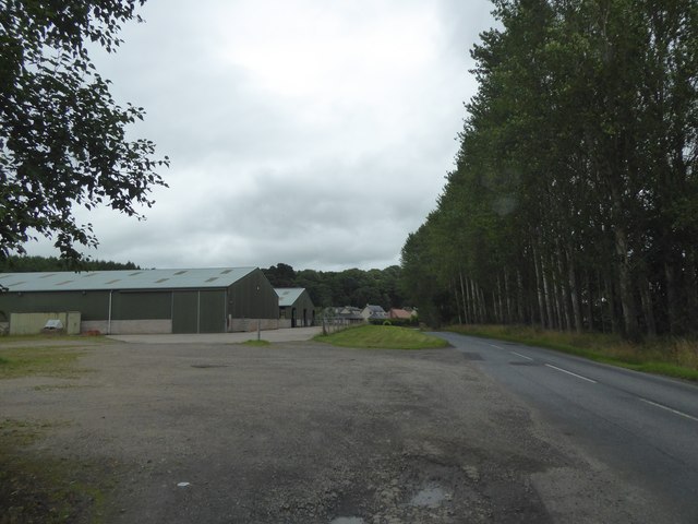
In addition to its natural attractions, Tullielarbert Wood has a rich history. The wood has been managed for centuries, with evidence of ancient settlements and archaeological sites scattered throughout the area. It is also home to a number of historical landmarks, including the remains of an old limekiln and a former colliery.

Overall, Tullielarbert Wood is a captivating destination for nature lovers and history enthusiasts alike. Its combination of breathtaking scenery, diverse wildlife, and historical significance make it a must-visit location in Perthshire.

If you have any feedback on the listing, please let us know in the comments section below.

Tullielarbert Wood Images

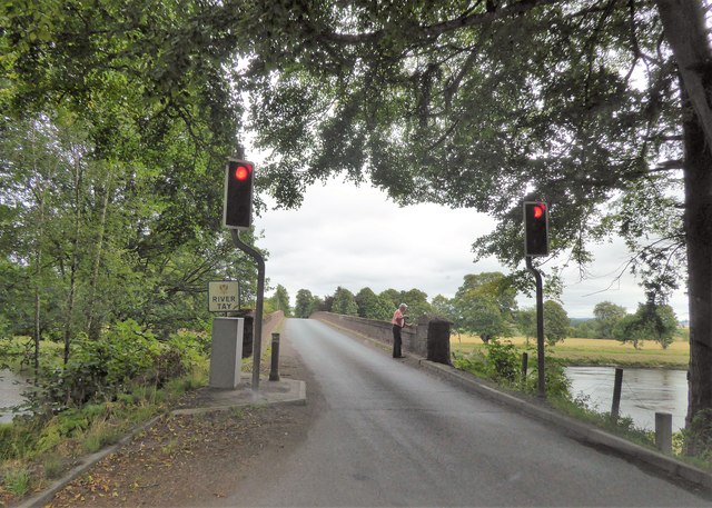
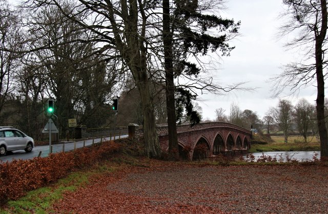
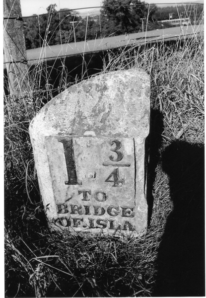
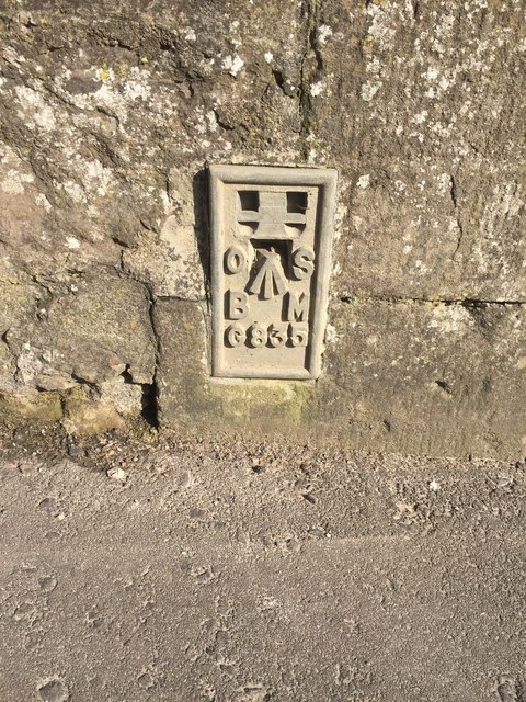
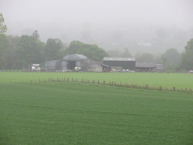
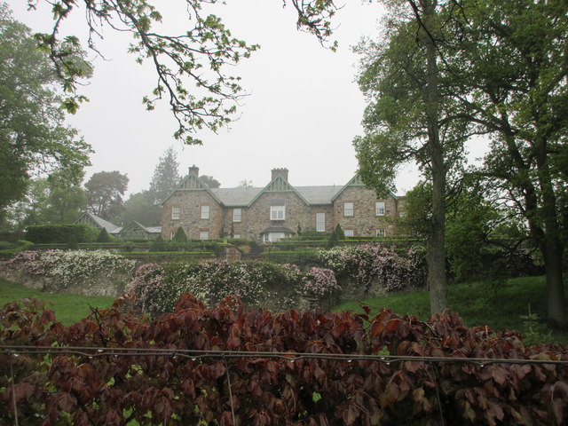
Images are sourced within 2km of 56.528676/-3.3737961 or Grid Reference NO1538. Thanks to Geograph Open Source API. All images are credited.

Potato field, Kinclaven Defoliated and awaiting lifting.
Potato field, Kinclaven
Defoliated and awaiting lifting.
Meikleour Beech Hedge The beech hedge on the A93
Meikleour Beech Hedge
The beech hedge on the A93
Meiklour Beech Hedge
Traffic Lights at Kinclaven Bridge
Entrance to Meikleour Southern entrance to Meikleour on the minor road leading off the A93.
Entrance to Meikleour
Southern entrance to Meikleour on the minor road leading off the A93.
The A93 heading north to Blairgowrie Long straight on the A93 south of the crossroads with the A984.
The A93 heading north to Blairgowrie
Long straight on the A93 south of the crossroads with the A984.
Northern end of the Beech Hedge The Beech Hedge on the A93 viewed from its northern end.
Northern end of the Beech Hedge
The Beech Hedge on the A93 viewed from its northern end.
Meikleour Beech Hedge This remarkable hedge, believed to have been planted in the autumn of 1745, has been officially recorded since 1966 as the world's tallest. It is approximately 580 yards long and has an average height of 100 feet, attaining over 120 feet at the northern end (shown in the photograph) and about 80 feet to the south. The hedge is trimmed once every ten years
Meikleour Beech Hedge
This remarkable hedge, believed to have been planted in the autumn of 1745, has been officially recorded since 1966 as the world's tallest. It is approximately 580 yards long and has an average height of 100 feet, attaining over 120 feet at the northern end (shown in the photograph) and about 80 feet to the south. The hedge is trimmed once every ten years
Farm buildings and road at Ballathie
Traffic lights at Kinclaven Bridge
A93 east of Meikleour
Kinclaven Bridge over the Tay
Old Milestone by the A93, Cargill Stone post with plates by the A93, in parish of Cargill (Perth & Kinross District), Cargill, South of minor crossroads, Northwest side of road.

Inscription reads:-
: 1¾ / TO / BRIDGE / OF ISLA : : 9 / TO / PERTH :   

Surveyed

Milestone Society National ID: PK_PTBG09
Old Milestone by the A93, Cargill
Stone post with plates by the A93, in parish of Cargill (Perth & Kinross District), Cargill, South of minor crossroads, Northwest side of road. Inscription reads:- : 1¾ / TO / BRIDGE / OF ISLA : : 9 / TO / PERTH : Surveyed Milestone Society National ID: PK_PTBG09
Old Milestone by the A93, Mains of Cargill Milestone by the A93, in parish of Cargill (Perth & Kinross District), Mains of Cargill, on grass verge, North side of road.

Inscription once read:-
: (Bridge / of / Isla / ¾) : : (Perth / 10) :  

Surveyed

Milestone Society National ID: PK_PTBG10
Old Milestone by the A93, Mains of Cargill
Milestone by the A93, in parish of Cargill (Perth & Kinross District), Mains of Cargill, on grass verge, North side of road. Inscription once read:- : (Bridge / of / Isla / ¾) : : (Perth / 10) : Surveyed Milestone Society National ID: PK_PTBG10
Flush Bracket OSBM G835 on Bridge of Isla Ordnance Survey Flush Bracket OSBM G835 on Bridge of Isla
Flush Bracket OSBM G835 on Bridge of Isla
Ordnance Survey Flush Bracket OSBM G835 on Bridge of Isla
Copse near Kinclaven Isolated pine wood in a field south of Kinclaven.
Copse near Kinclaven
Isolated pine wood in a field south of Kinclaven.
Kinclaven Farm The farm buildings at Kinclaven, viewed from the north.
Kinclaven Farm
The farm buildings at Kinclaven, viewed from the north.
Balmains House Balmains viewed from the road below to the south.
Balmains House
Balmains viewed from the road below to the south.
Show me another place!

Tullielarbert Wood is located at Grid Ref: NO1538 (Lat: 56.528676, Lng: -3.3737961)

Unitary Authority: Perth and Kinross

Police Authority: Tayside

What 3 Words

///suffice.refuse.yummy. Near Stanley, Perth & Kinross

Related Wikis

River Isla, Perthshire

The River Isla (Scottish Gaelic: Abhainn Ìle) is a tributary of the River Tay in Angus and Perthshire, Scotland. It runs for 46 miles (74 km) through the...

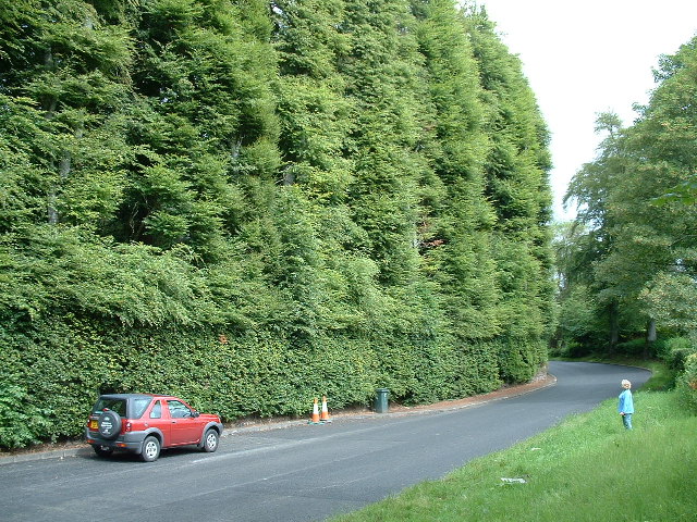
Meikleour Beech Hedges

The Meikleour Beech Hedge(s) (European Beech = Fagus sylvatica), located near Meikleour, Perth and Kinross, Scotland, was planted in the autumn of 1745...

Cargill railway station

Cargill railway station was in the Scottish county of Perth and Kinross. The station was opened by the Scottish Midland Junction Railway running between...

Meikleour

Meikleour ( mi-KLOOR) is a village in Perth and Kinross, Scotland. It lies near the confluence of the Tay and the Isla in the valley of Strathmore, 12...

Nearby Amenities

Located within 500m of 56.528676,-3.3737961
Traffic Signals
Lat/Long: 56.5269858/-3.3671136
Traffic Signals
Lat/Long: 56.5263599/-3.368995
The data included in this document is from www.openstreetmap.org. The data is made available under ODbL.

Have you been to Tullielarbert Wood?

Leave your review of Tullielarbert Wood below (or comments, questions and feedback).