Kinclaven

Settlement in Perthshire

Scotland

Kinclaven

Potato field, Kinclaven Defoliated and awaiting lifting.
Potato field, Kinclaven Credit: Richard Webb

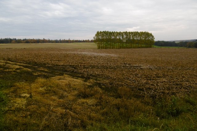
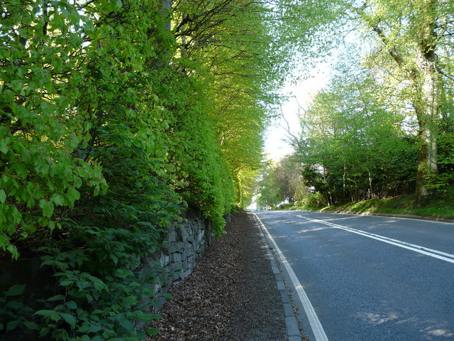
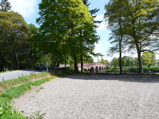
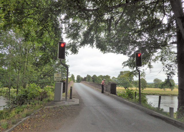
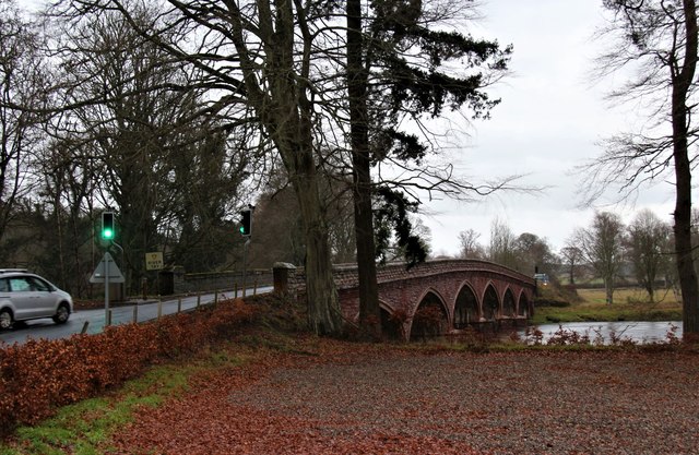
Kinclaven is a small rural village located in the county of Perthshire, Scotland. Situated approximately 11 miles northeast of the city of Perth, Kinclaven is nestled amidst picturesque countryside, offering stunning views of the surrounding hills and forests. The village is positioned on the banks of the River Tay, one of Scotland's most prominent rivers, adding to its charm and natural beauty.

Despite being a small village, Kinclaven boasts a rich history and heritage. The area is known for its ancient Pictish stones, which are believed to date back to the 6th and 9th centuries and can be found in the nearby Kinclaven Parish Churchyard. These stones provide a fascinating insight into the region's past.

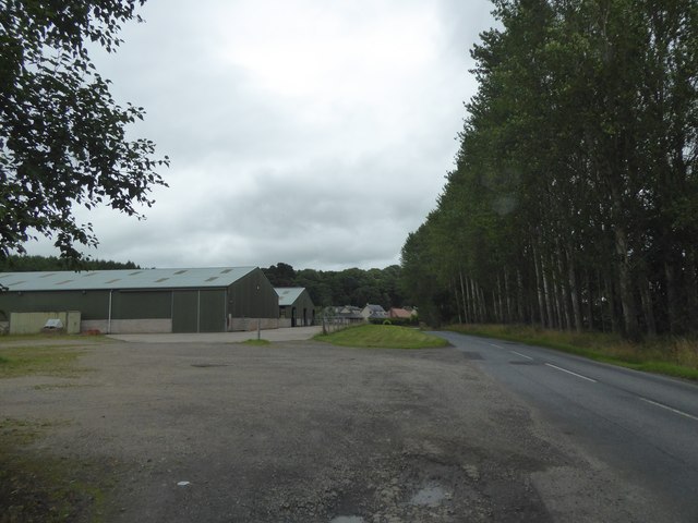
The village itself is predominantly residential, with a small number of amenities including a local pub and a primary school. For additional services and facilities, residents can easily access the nearby town of Stanley, which is approximately 4 miles away.

Kinclaven is an ideal destination for nature enthusiasts, offering ample opportunities for outdoor activities. The surrounding area is renowned for its hiking trails, cycling routes, and fishing spots, attracting visitors from far and wide. The nearby Tay Forest Park provides a tranquil setting for leisurely walks, while the River Tay offers opportunities for fishing and boating.

In conclusion, Kinclaven is a charming village in Perthshire, Scotland, offering residents and visitors a peaceful retreat amidst beautiful natural surroundings, rich history, and a range of outdoor activities.

If you have any feedback on the listing, please let us know in the comments section below.
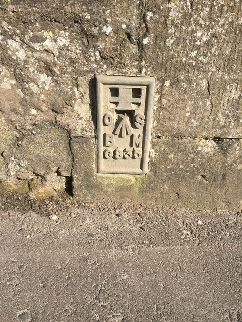
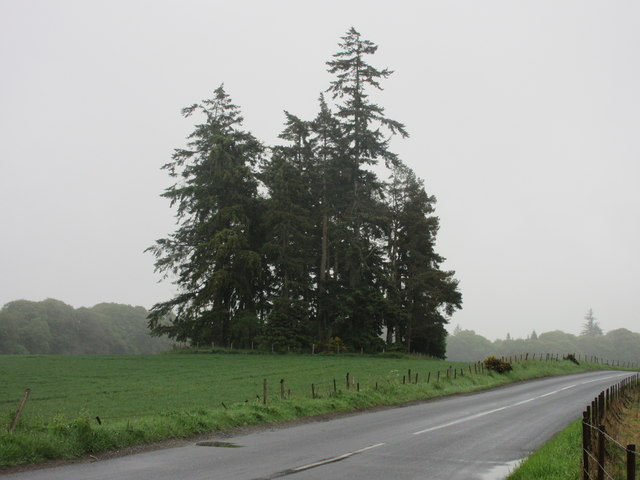
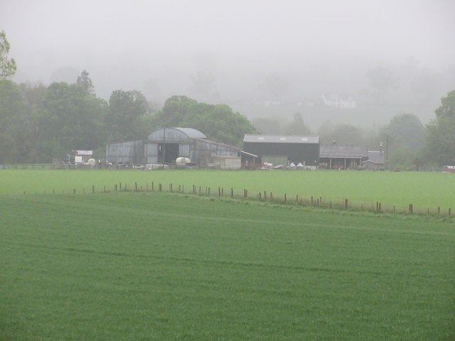
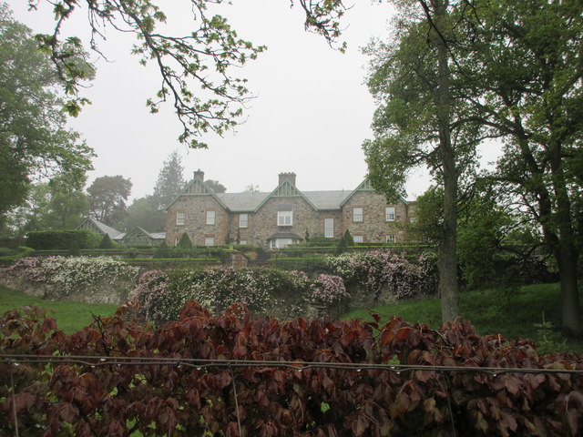
Kinclaven Images

Images are sourced within 2km of 56.53019/-3.3822403 or Grid Reference NO1538. Thanks to Geograph Open Source API. All images are credited.

Potato field, Kinclaven Defoliated and awaiting lifting.
Potato field, Kinclaven
Defoliated and awaiting lifting.
Meikleour Beech Hedge The beech hedge on the A93
Meikleour Beech Hedge
The beech hedge on the A93
Meiklour Beech Hedge
Traffic Lights at Kinclaven Bridge
Entrance to Meikleour Southern entrance to Meikleour on the minor road leading off the A93.
Entrance to Meikleour
Southern entrance to Meikleour on the minor road leading off the A93.
The A93 heading north to Blairgowrie Long straight on the A93 south of the crossroads with the A984.
The A93 heading north to Blairgowrie
Long straight on the A93 south of the crossroads with the A984.
Northern end of the Beech Hedge The Beech Hedge on the A93 viewed from its northern end.
Northern end of the Beech Hedge
The Beech Hedge on the A93 viewed from its northern end.
Meikleour Beech Hedge This remarkable hedge, believed to have been planted in the autumn of 1745, has been officially recorded since 1966 as the world's tallest. It is approximately 580 yards long and has an average height of 100 feet, attaining over 120 feet at the northern end (shown in the photograph) and about 80 feet to the south. The hedge is trimmed once every ten years
Meikleour Beech Hedge
This remarkable hedge, believed to have been planted in the autumn of 1745, has been officially recorded since 1966 as the world's tallest. It is approximately 580 yards long and has an average height of 100 feet, attaining over 120 feet at the northern end (shown in the photograph) and about 80 feet to the south. The hedge is trimmed once every ten years
Farm buildings and road at Ballathie
Traffic lights at Kinclaven Bridge
A93 east of Meikleour
Kinclaven Bridge over the Tay
Old Milestone by the A93, Cargill Stone post with plates by the A93, in parish of Cargill (Perth & Kinross District), Cargill, South of minor crossroads, Northwest side of road.

Inscription reads:-
: 1¾ / TO / BRIDGE / OF ISLA : : 9 / TO / PERTH :   

Surveyed

Milestone Society National ID: PK_PTBG09
Old Milestone by the A93, Cargill
Stone post with plates by the A93, in parish of Cargill (Perth & Kinross District), Cargill, South of minor crossroads, Northwest side of road. Inscription reads:- : 1¾ / TO / BRIDGE / OF ISLA : : 9 / TO / PERTH : Surveyed Milestone Society National ID: PK_PTBG09
Old Milestone by the A93, Mains of Cargill Milestone by the A93, in parish of Cargill (Perth & Kinross District), Mains of Cargill, on grass verge, North side of road.

Inscription once read:-
: (Bridge / of / Isla / ¾) : : (Perth / 10) :  

Surveyed

Milestone Society National ID: PK_PTBG10
Old Milestone by the A93, Mains of Cargill
Milestone by the A93, in parish of Cargill (Perth & Kinross District), Mains of Cargill, on grass verge, North side of road. Inscription once read:- : (Bridge / of / Isla / ¾) : : (Perth / 10) : Surveyed Milestone Society National ID: PK_PTBG10
Flush Bracket OSBM G835 on Bridge of Isla Ordnance Survey Flush Bracket OSBM G835 on Bridge of Isla
Flush Bracket OSBM G835 on Bridge of Isla
Ordnance Survey Flush Bracket OSBM G835 on Bridge of Isla
Copse near Kinclaven Isolated pine wood in a field south of Kinclaven.
Copse near Kinclaven
Isolated pine wood in a field south of Kinclaven.
Kinclaven Farm The farm buildings at Kinclaven, viewed from the north.
Kinclaven Farm
The farm buildings at Kinclaven, viewed from the north.
Balmains House Balmains viewed from the road below to the south.
Balmains House
Balmains viewed from the road below to the south.
Show me another place!

Kinclaven is located at Grid Ref: NO1538 (Lat: 56.53019, Lng: -3.3822403)

Unitary Authority: Perth and Kinross

Police Authority: Tayside

What 3 Words

///standards.monk.destroyer. Near Stanley, Perth & Kinross

Related Wikis

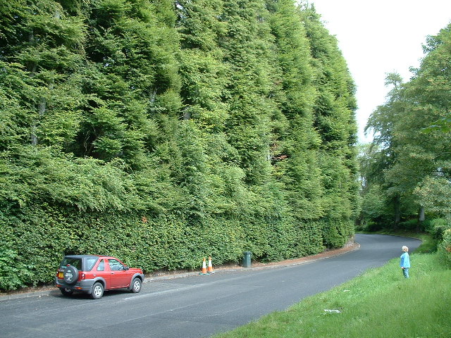
Meikleour Beech Hedges

The Meikleour Beech Hedge(s) (European Beech = Fagus sylvatica), located near Meikleour, Perth and Kinross, Scotland, was planted in the autumn of 1745...

River Isla, Perthshire

The River Isla (Scottish Gaelic: Abhainn Ìle) is a tributary of the River Tay in Angus and Perthshire, Scotland. It runs for 46 miles (74 km) through the...

Meikleour

Meikleour ( mi-KLOOR) is a village in Perth and Kinross, Scotland. It lies near the confluence of the Tay and the Isla in the valley of Strathmore, 12...

Meikleour Arms

Meikleour Arms (also known as the Meikleour Arms Hotel) is a Category B listed building in Meikleour, Perth and Kinross, Scotland. It dates to 1820, and...

Nearby Amenities

Located within 500m of 56.53019,-3.3822403
Power: pole
Lat/Long: 56.5299519/-3.390032
Power: pole
Lat/Long: 56.5298466/-3.3892681
Power: pole
Lat/Long: 56.529745/-3.3884436
Power: pole
Lat/Long: 56.5296595/-3.3876572
Power: pole
Lat/Long: 56.5295579/-3.3868776
Power: pole
Lat/Long: 56.52946/-3.3860845
Power: pole
Lat/Long: 56.5293535/-3.3852622
The data included in this document is from www.openstreetmap.org. The data is made available under ODbL.

Have you been to Kinclaven?

Leave your review of Kinclaven below (or comments, questions and feedback).