Kiltyrie

Settlement in Perthshire

Scotland

Kiltyrie

Road near Tom an Droighinn Route 7 runs 540 miles from Sunderland to Inverness.
<span class="nowrap"><a title="https://en.wikipedia.org/wiki/National_Cycle_Route_7" rel="nofollow ugc noopener" href="https://en.wikipedia.org/wiki/National_Cycle_Route_7">Link</a><img style="margin-left:2px;" alt="External link" title="External link - shift click to open in new window" src="https://s1.geograph.org.uk/img/external.png" width="10" height="10"/></span>
Road near Tom an Droighinn Credit: N Chadwick

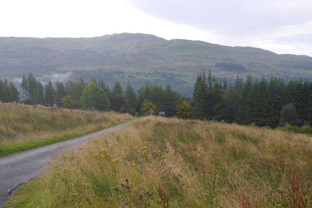
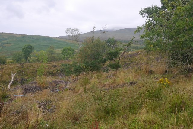
Kiltyrie is a small village located in Perthshire, Scotland. Situated near the River Tay, Kiltyrie is known for its picturesque countryside and stunning views of the surrounding hills. The village is home to a tight-knit community of residents who take pride in their quaint surroundings.

Kiltyrie has a rich history, with some of its buildings dating back to the 18th century. The village features traditional stone cottages, a charming church, and a local pub where residents gather to socialize and unwind.

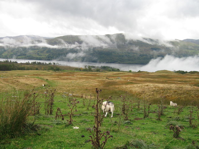
Surrounded by lush greenery and rolling hills, Kiltyrie is a popular destination for outdoor enthusiasts. Hiking and cycling trails wind through the countryside, offering visitors the opportunity to explore the natural beauty of the area. The nearby River Tay also provides opportunities for fishing and water sports.

Overall, Kiltyrie is a peaceful and idyllic village that offers a quiet escape from the hustle and bustle of city life. Its beautiful scenery and welcoming community make it a hidden gem in the heart of Perthshire.

If you have any feedback on the listing, please let us know in the comments section below.
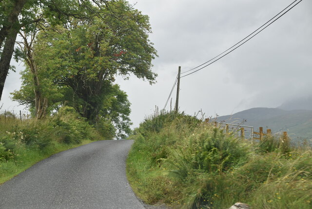
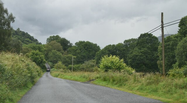
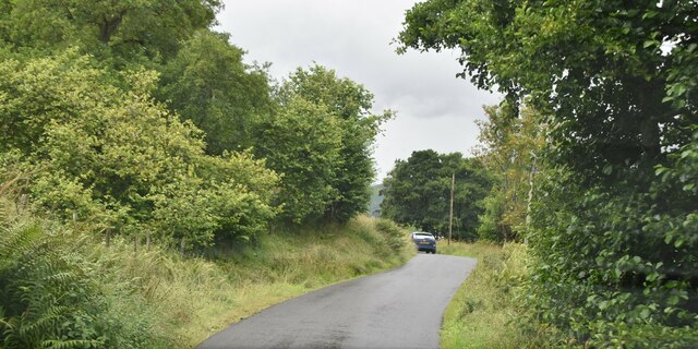
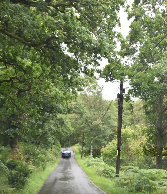
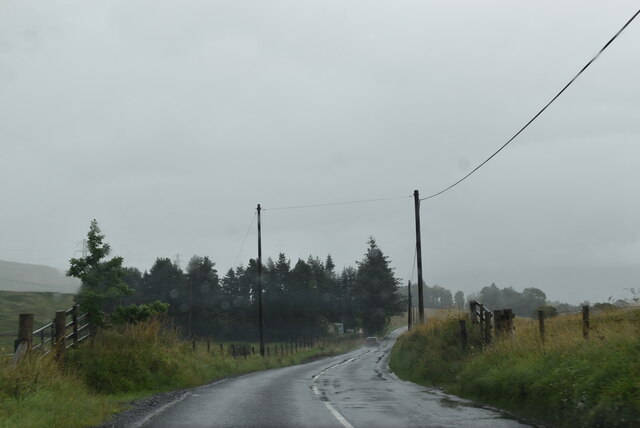
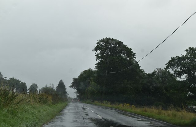
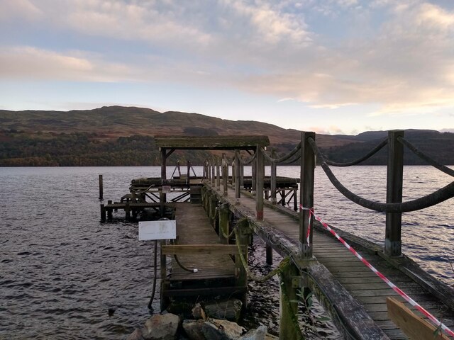
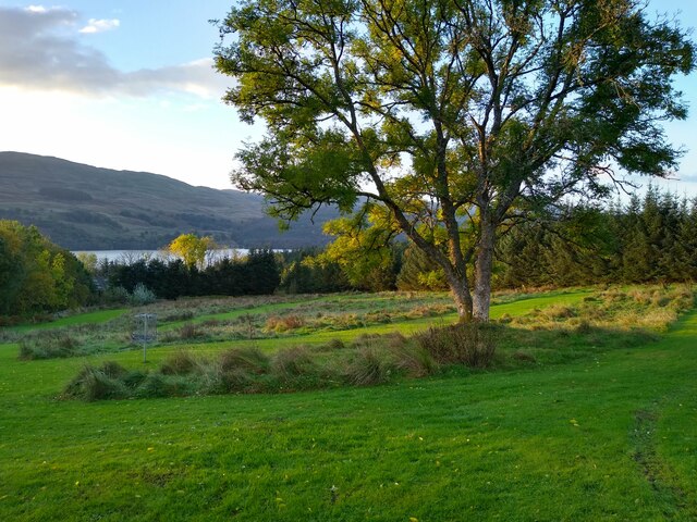
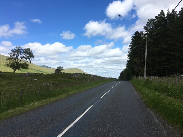
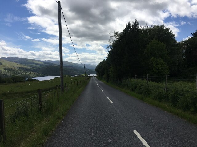
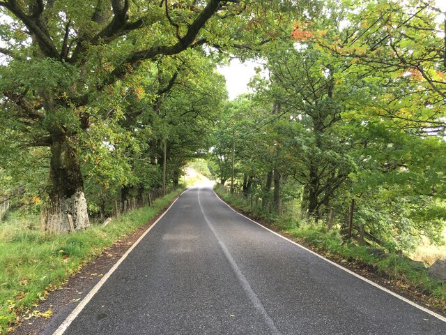
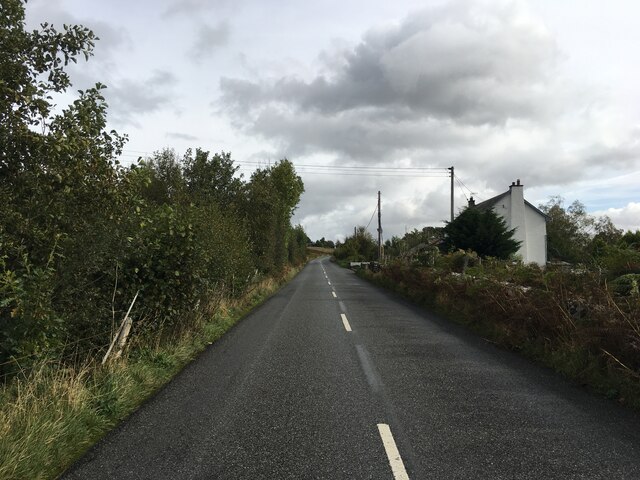
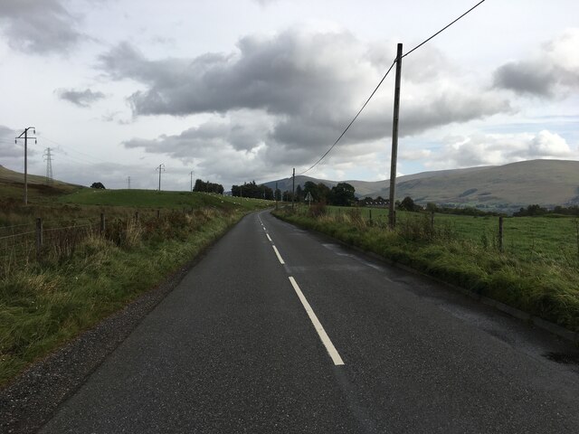
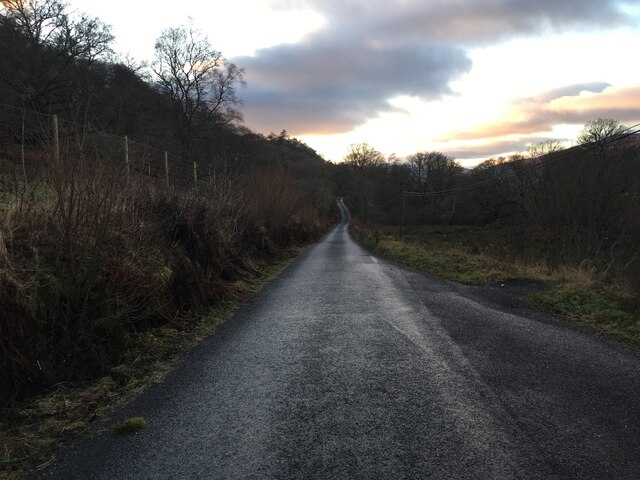
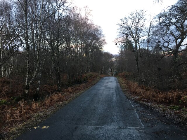
Kiltyrie Images

Images are sourced within 2km of 56.502717/-4.227216 or Grid Reference NN6336. Thanks to Geograph Open Source API. All images are credited.

Road near Tom an Droighinn Route 7 runs 540 miles from Sunderland to Inverness.
<span class="nowrap"><a title="https://en.wikipedia.org/wiki/National_Cycle_Route_7" rel="nofollow ugc noopener" href="https://en.wikipedia.org/wiki/National_Cycle_Route_7">Link</a><img style="margin-left:2px;" alt="External link" title="External link - shift click to open in new window" src="https://s1.geograph.org.uk/img/external.png" width="10" height="10"/></span>
Road near Tom an Droighinn
Route 7 runs 540 miles from Sunderland to Inverness. LinkExternal link
Road near Tom an Droighinn
Road near Cambusurich Route 7 runs 540 miles from Sunderland to Inverness.
<span class="nowrap"><a title="https://en.wikipedia.org/wiki/National_Cycle_Route_7" rel="nofollow ugc noopener" href="https://en.wikipedia.org/wiki/National_Cycle_Route_7">Link</a><img style="margin-left:2px;" alt="External link" title="External link - shift click to open in new window" src="https://s1.geograph.org.uk/img/external.png" width="10" height="10"/></span>
Road near Cambusurich
Route 7 runs 540 miles from Sunderland to Inverness. LinkExternal link
Road through woodland south of Loch Tay Route 7 runs 540 miles from Sunderland to Inverness.
<span class="nowrap"><a title="https://en.wikipedia.org/wiki/National_Cycle_Route_7" rel="nofollow ugc noopener" href="https://en.wikipedia.org/wiki/National_Cycle_Route_7">Link</a><img style="margin-left:2px;" alt="External link" title="External link - shift click to open in new window" src="https://s1.geograph.org.uk/img/external.png" width="10" height="10"/></span>
Road through woodland south of Loch Tay
Route 7 runs 540 miles from Sunderland to Inverness. LinkExternal link
A dull wet day on the A827 The A827 is a cross-country route through the glens of central Scotland, running 35 miles along the entire length of Loch Tay, from Lix Toll to Ballinluig. 
<span class="nowrap"><a title="https://www.sabre-roads.org.uk/wiki/index.php?title=A827" rel="nofollow ugc noopener" href="https://www.sabre-roads.org.uk/wiki/index.php?title=A827">Link</a><img style="margin-left:2px;" alt="External link" title="External link - shift click to open in new window" src="https://s1.geograph.org.uk/img/external.png" width="10" height="10"/></span>
A dull wet day on the A827
The A827 is a cross-country route through the glens of central Scotland, running 35 miles along the entire length of Loch Tay, from Lix Toll to Ballinluig. LinkExternal link
A827 near Carie The A827 is a cross-country route through the glens of central Scotland, running 35 miles along the entire length of Loch Tay, from Lix Toll to Ballinluig. 
<span class="nowrap"><a title="https://www.sabre-roads.org.uk/wiki/index.php?title=A827" rel="nofollow ugc noopener" href="https://www.sabre-roads.org.uk/wiki/index.php?title=A827">Link</a><img style="margin-left:2px;" alt="External link" title="External link - shift click to open in new window" src="https://s1.geograph.org.uk/img/external.png" width="10" height="10"/></span>
A827 near Carie
The A827 is a cross-country route through the glens of central Scotland, running 35 miles along the entire length of Loch Tay, from Lix Toll to Ballinluig. LinkExternal link
Old pier This old pier at Milton Morenish is now on the grounds of Loch Tay Highland Lodges, just in front of their Boathouse restaurant.
Old pier
This old pier at Milton Morenish is now on the grounds of Loch Tay Highland Lodges, just in front of their Boathouse restaurant.
Frisbee golf at Loch Tay This is a part of the frisbee golf course on the grounds of Loch Tay Highland Lodges. Loch Tay visible in the background.
Frisbee golf at Loch Tay
This is a part of the frisbee golf course on the grounds of Loch Tay Highland Lodges. Loch Tay visible in the background.
A827 between Killin and Kenmore
A827 towards Killin
A827 towards Killin
A827 near Edramucky
A827 near Edramucky
A827 towards Kenmore
Minor road towards Killin
Minor road towards Ardeonaig
Looking west
Looking west
Felled area, Edramuchty The horribly windthrown woodland at the foot of the Lairig an Lochain  road has been felled.
Felled area, Edramuchty
The horribly windthrown woodland at the foot of the Lairig an Lochain road has been felled.
Woodland, Edramuchty Remaining trees after the conifers were clear felled.
Woodland, Edramuchty
Remaining trees after the conifers were clear felled.
Show me another place!

Kiltyrie is located at Grid Ref: NN6336 (Lat: 56.502717, Lng: -4.227216)

Unitary Authority: Perth and Kinross

Police Authority: Tayside

What 3 Words

///betraying.downhill.stamp. Near Pubil, Perth & Kinross

Nearby Locations

Kiltyrie

Related Wikis

Beinn Ghlas

Beinn Ghlas is a mountain in the Breadalbane region of the Scottish Highlands. It lies on the north shore of Loch Tay and is part of the Ben Lawers Range...

Ardeonaig

Ardeonaig (Gaelic: Aird Eòdhanaig) is a hamlet on the southern shore of Loch Tay in the Stirling Council area of Scotland. It is approximately 7 miles...

Meall Corranaich

Meall Corranaich (Scottish Gaelic: Meall Choire Inich) is a mountain with a height of 1,069 metres (3,507 ft) in the Grampian Mountains of Scotland. It...

Ben Lawers

Ben Lawers (Scottish Gaelic: Beinn Labhair) is the highest mountain in the Breadalbane region of the Scottish Highlands. It lies north of Loch Tay and...

Nearby Amenities

Located within 500m of 56.502717,-4.227216
Power: tower
Lat/Long: 56.5058617/-4.2286498
Power: tower
Lat/Long: 56.5070044/-4.2248004
Material: wood
Power: pole
Lat/Long: 56.5009079/-4.2341087
Material: wood
Power: pole
Lat/Long: 56.5012002/-4.2323604
Material: wood
Power: pole
Lat/Long: 56.5015114/-4.2304993
Material: wood
Power: pole
Lat/Long: 56.502006/-4.2295437
Material: wood
Power: pole
Lat/Long: 56.5025282/-4.2285442
Material: wood
Power: pole
Lat/Long: 56.5032752/-4.2270967
Material: wood
Power: pole
Lat/Long: 56.5037784/-4.2261098
Material: wood
Power: pole
Lat/Long: 56.5043179/-4.2250288
Material: wood
Power: pole
Lat/Long: 56.5048954/-4.2239197
Material: wood
Power: pole
Lat/Long: 56.5056614/-4.2225098
Power: pole
Lat/Long: 56.4998171/-4.2265856
Power: pole
Lat/Long: 56.5001588/-4.2268332
Kiltyrie
Name Gd: Cùil Tireadh
Place: hamlet
Lat/Long: 56.5022129/-4.2274034
Lower Kiltyrie
Place: isolated_dwelling
Lat/Long: 56.499489/-4.2256868
The data included in this document is from www.openstreetmap.org. The data is made available under ODbL.

Have you been to Kiltyrie?

Leave your review of Kiltyrie below (or comments, questions and feedback).