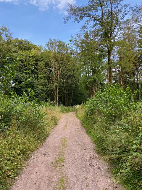
Buckiebank Plantation
Wood, Forest in Dumfriesshire
Scotland
Buckiebank Plantation
The requested URL returned error: 429 Too Many Requests
If you have any feedback on the listing, please let us know in the comments section below.
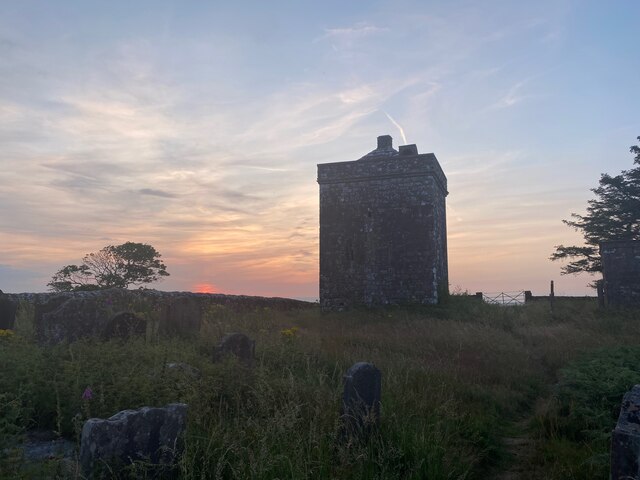
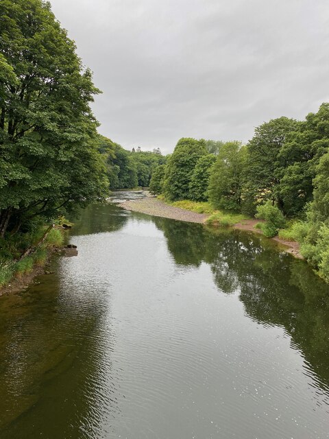
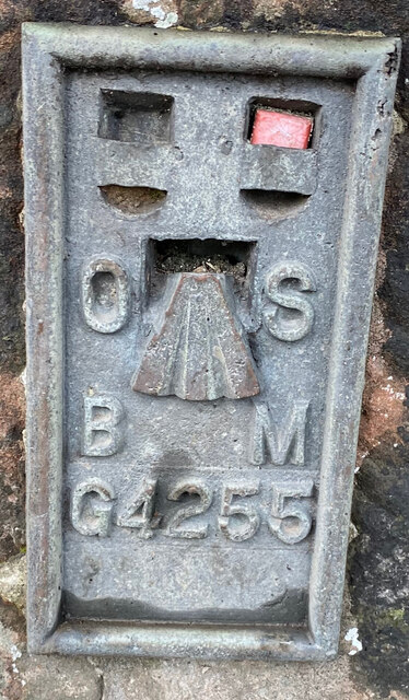
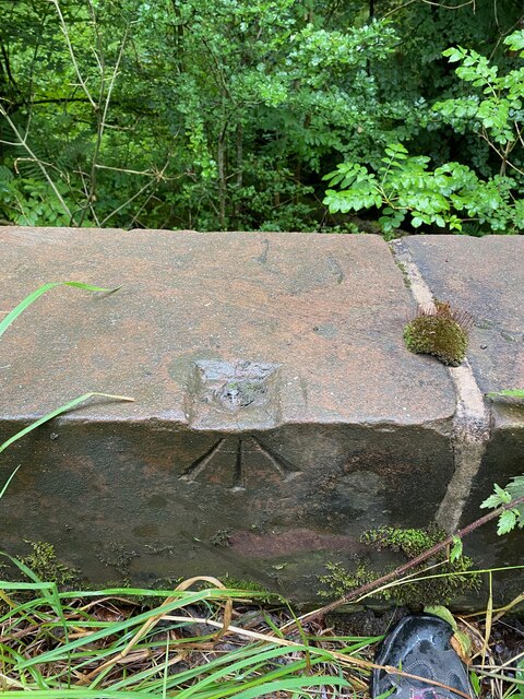
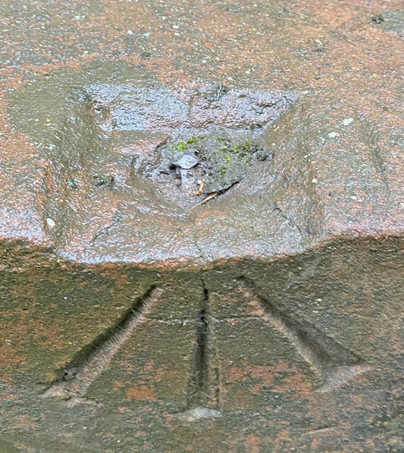
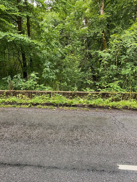
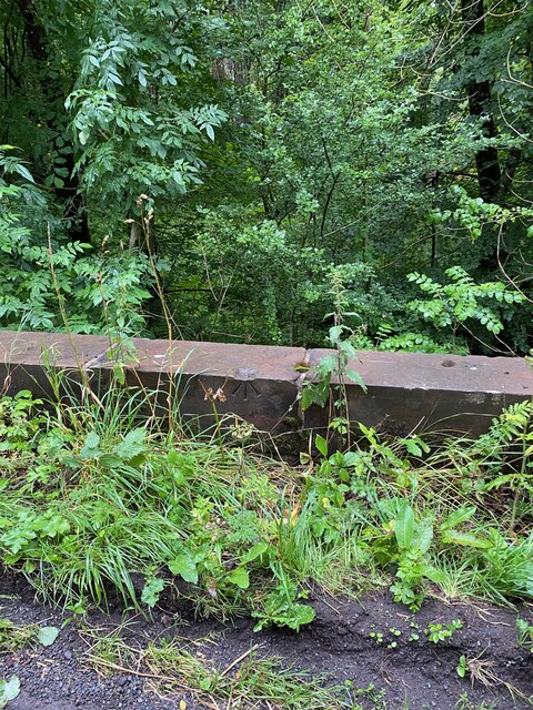
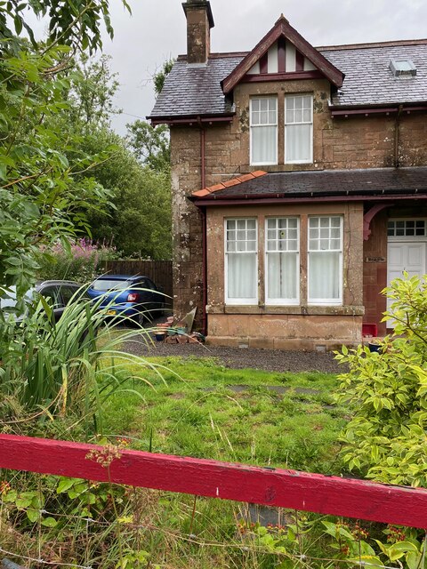
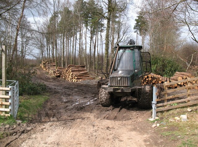
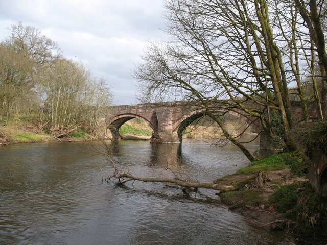
Buckiebank Plantation Images
Images are sourced within 2km of 55.051501/-3.323066 or Grid Reference NY1573. Thanks to Geograph Open Source API. All images are credited.


Buckiebank Plantation is located at Grid Ref: NY1573 (Lat: 55.051501, Lng: -3.323066)
Unitary Authority: Dumfries and Galloway
Police Authority: Dumfries and Galloway
What 3 Words
///agency.listen.heats. Near Lockerbie, Dumfries & Galloway
Nearby Locations
Related Wikis
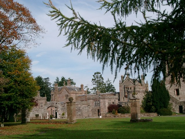
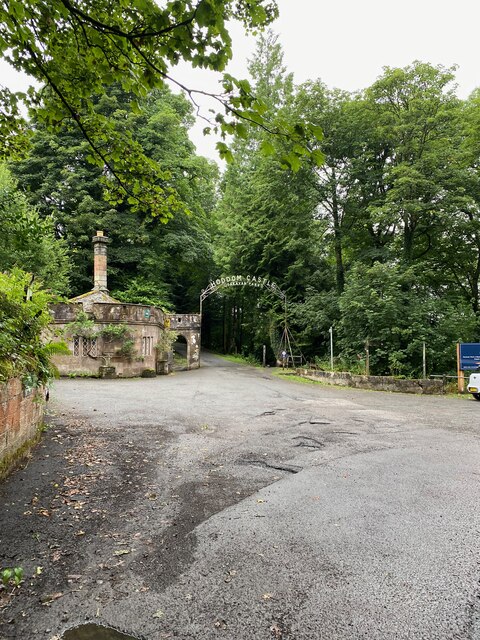
Hoddom Castle
Hoddom Castle is a large tower house in Dumfries and Galloway, south Scotland. It is located by the River Annan, 4 kilometres (2.5 mi) south-west of Ecclefechan...

Hoddom
Hoddom is a small settlement and civil parish in Dumfries and Galloway, Scotland, dating back to the 8th century. == Location == Hoddom is 13 miles by...

Ecclefechan railway station
Ecclefechan railway station was a station which served the rural area around Ecclefechan, south of Lockerbie in Applegarth parish, Scottish county of Dumfries...

Thomas Carlyle's Birthplace
Thomas Carlyle's Birthplace is a house in Ecclefechan, Dumfries and Galloway, Scotland, UK, in which Thomas Carlyle, who was to become a pre-eminent man...
Nearby Amenities
Located within 500m of 55.051501,-3.323066Have you been to Buckiebank Plantation?
Leave your review of Buckiebank Plantation below (or comments, questions and feedback).