Crow Wood
Wood, Forest in Fife
Scotland
Crow Wood

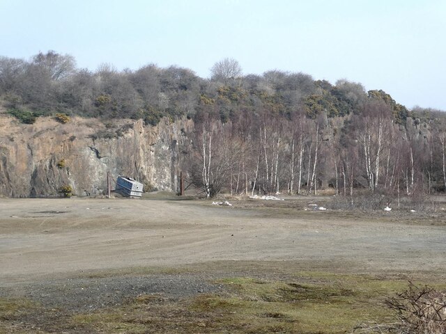
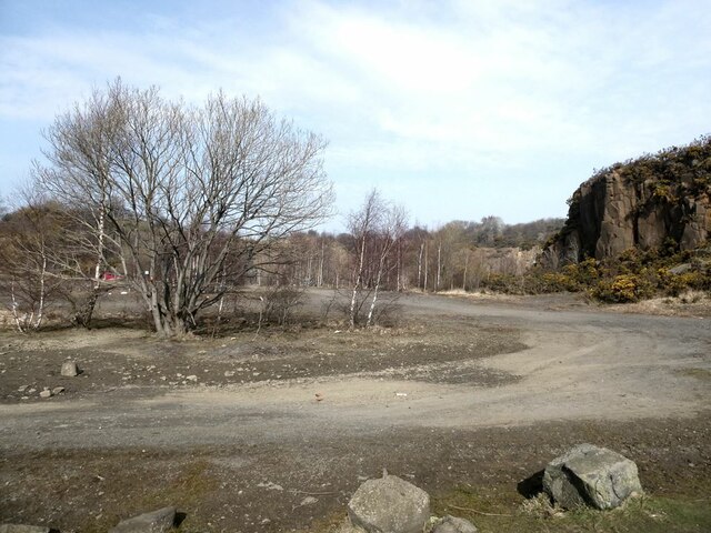
Crow Wood is a dense woodland located in Fife, Scotland. Covering an area of approximately 200 acres, it is a prominent natural feature in the region. The wood is primarily composed of mature broadleaf trees, such as oak, beech, and ash, which tower over the forest floor, creating a dense and shaded canopy.
The wood is named after the large population of crows that inhabit the area, their distinctive calls echoing through the trees. These birds contribute to the unique ambiance of the woodland, adding to its allure and natural charm.
Crow Wood is known for its diverse wildlife, providing a habitat for a wide range of species. The forest floor is carpeted with an array of wildflowers and ferns, creating a colorful and vibrant undergrowth. This vegetation attracts various insects and small mammals, which in turn sustain larger animals, including deer and foxes, that roam the wood.
The wood is crisscrossed with a network of walking trails, allowing visitors to explore its beauty and tranquility. The paths wind through the towering trees, providing opportunities for nature enthusiasts to observe the flora and fauna up close. These trails are well-maintained, ensuring a safe and enjoyable experience for all visitors.
Crow Wood is a popular destination for both locals and tourists seeking solace in nature. Its peaceful atmosphere, coupled with its natural beauty, makes it an ideal spot for picnics, leisurely walks, and birdwatching. The wood serves as a valuable resource for the community, promoting outdoor recreation, conservation, and education about the importance of preserving natural habitats.
If you have any feedback on the listing, please let us know in the comments section below.
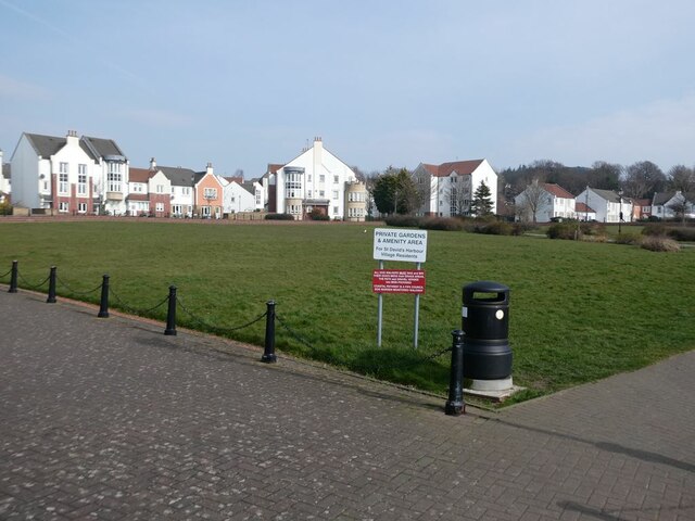
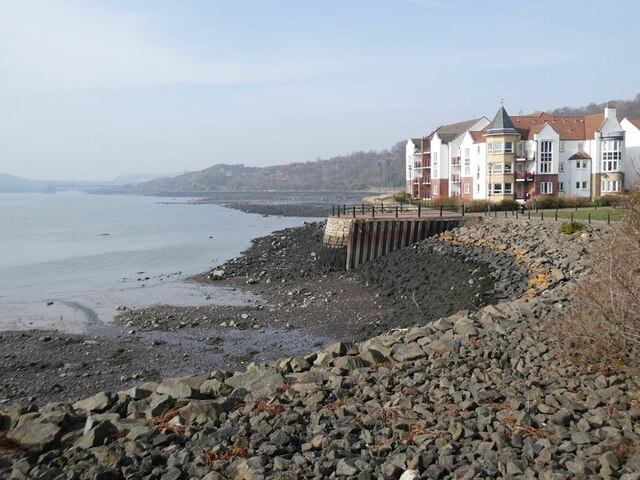
Crow Wood Images
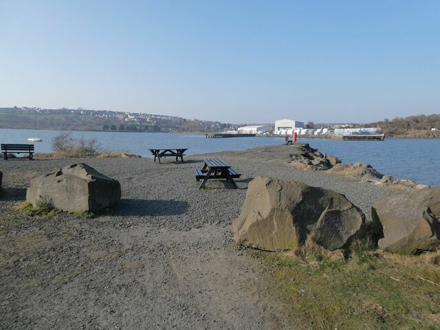
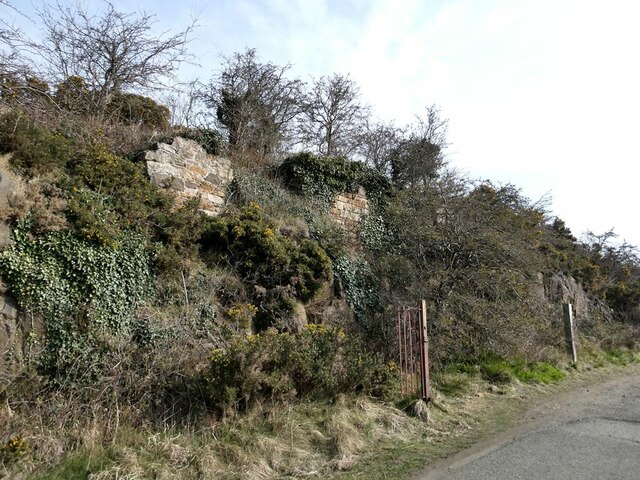
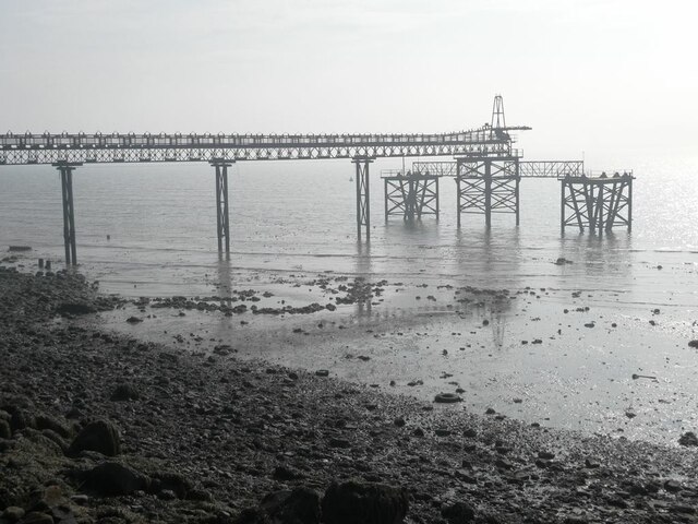
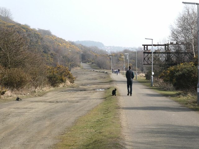
Images are sourced within 2km of 56.027633/-3.3597635 or Grid Reference NT1582. Thanks to Geograph Open Source API. All images are credited.


Crow Wood is located at Grid Ref: NT1582 (Lat: 56.027633, Lng: -3.3597635)
Unitary Authority: Fife
Police Authority: Fife
What 3 Words
///purse.snapping.thrones. Near Dalgety Bay, Fife
Related Wikis
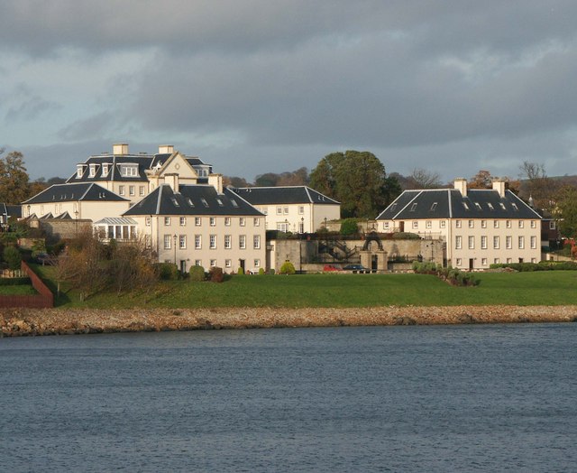
Donibristle
Donibristle (Scots: also Dunibirsle) was a house and estate in Fife, Scotland, on the coast of the Firth of Forth. Only the wings of the house remain,...

RNAS Donibristle (HMS Merlin)
Royal Naval Air Station Donibristle or more simply RNAS Donibristle was a former Fleet Air Arm base located 2.7 miles (4.3 km) east of Rosyth, Fife, and...
Hillend, Fife
Hillend is a small village in Fife, Scotland. It is located roughly to the north-west of Dalgety Bay. It is the location of Heil's manufacturing facilities...

Dalgety Bay railway station
Dalgety Bay railway station serves the town of Dalgety Bay in Fife, Scotland. Lying on the Fife Circle and EdinburghーDundee lines, it is managed by ScotRail...
Nearby Amenities
Located within 500m of 56.027633,-3.3597635Have you been to Crow Wood?
Leave your review of Crow Wood below (or comments, questions and feedback).