Wintersheugh Plantation

Wood, Forest in Dumfriesshire
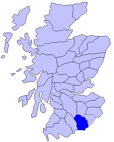
Scotland

Wintersheugh Plantation

Repentance Tower The Repentance Tower is a very rare example of a mid-16th century watch tower standing on Trailtrow Hill, six miles north-west of Annan, Dumfries and Galloway. Built in 1565 by John Maxwell, the tower takes its name from an inscription Repentance carved on the stonework above the entrance door.

<span class="nowrap"><a title="https://en.wikipedia.org/wiki/Repentance_Tower" rel="nofollow ugc noopener" href="https://en.wikipedia.org/wiki/Repentance_Tower">Link</a><img style="margin-left:2px;" alt="External link" title="External link - shift click to open in new window" src="https://s1.geograph.org.uk/img/external.png" width="10" height="10"/></span>
Repentance Tower Credit: thejackrustles

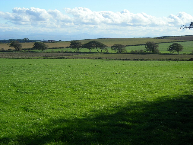
Wintersheugh Plantation is a scenic and enchanting woodland area located in Dumfriesshire, Scotland. Situated amidst the rolling hills and picturesque countryside, it is a haven for nature lovers and outdoor enthusiasts. Covering an expansive area, the plantation is abundant with a diverse range of trees, plants, and wildlife.

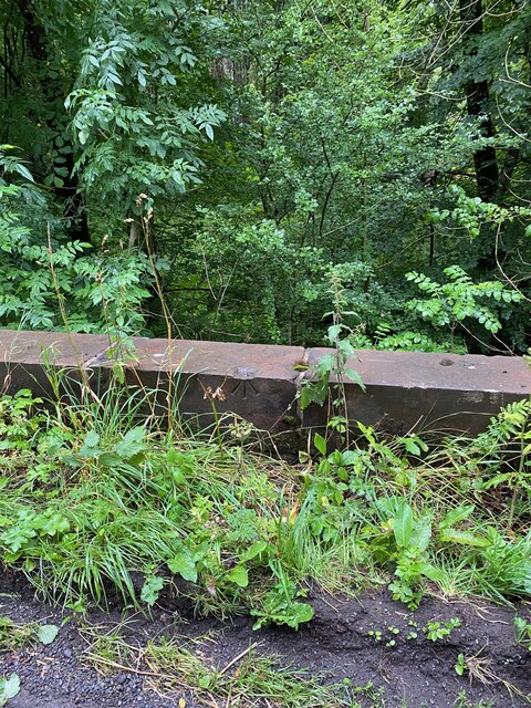
The plantation is primarily composed of a mixture of native Scottish trees, including oak, birch, ash, and Scots pine, creating a rich and varied woodland ecosystem. The towering trees provide a beautiful canopy overhead, casting dappled sunlight onto the forest floor. The undergrowth is adorned with a carpet of mosses, ferns, and wildflowers, adding to the captivating ambiance of the woodland.

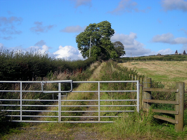
Tranquil pathways wind through the plantation, inviting visitors to explore its hidden treasures. These well-maintained trails offer an opportunity to immerse oneself in the tranquility of nature while enjoying a leisurely walk or hike. Along the way, visitors may encounter a variety of wildlife, including deer, red squirrels, and a multitude of bird species.

Wintersheugh Plantation also boasts a small stream that meanders through its heart, adding to the charm of the landscape. The soothing sound of running water creates a serene atmosphere, providing a perfect escape from the hustle and bustle of everyday life.

Overall, Wintersheugh Plantation is a captivating woodland retreat where visitors can revel in the beauty of nature, witness an array of wildlife, and enjoy the peacefulness of this enchanting Dumfriesshire forest.

If you have any feedback on the listing, please let us know in the comments section below.

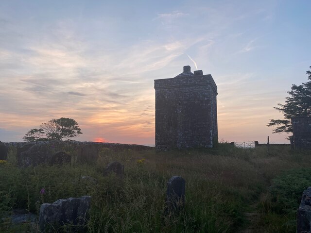
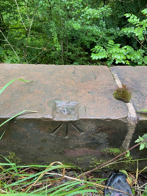
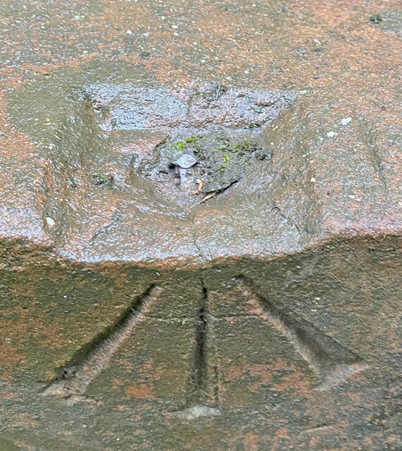
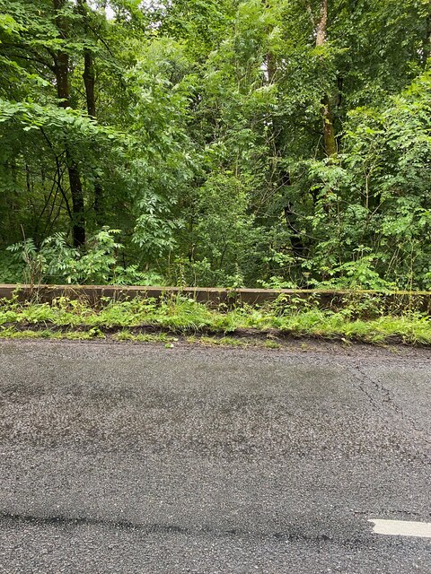
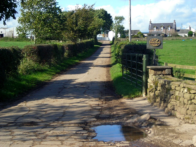
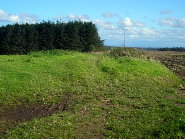
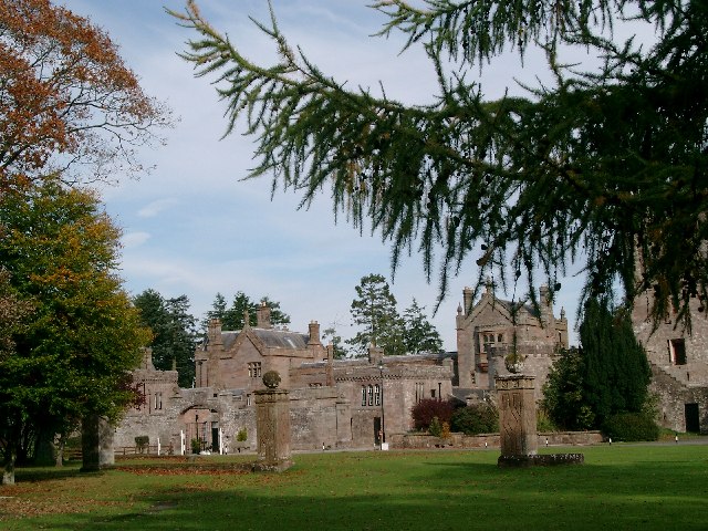
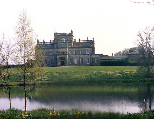
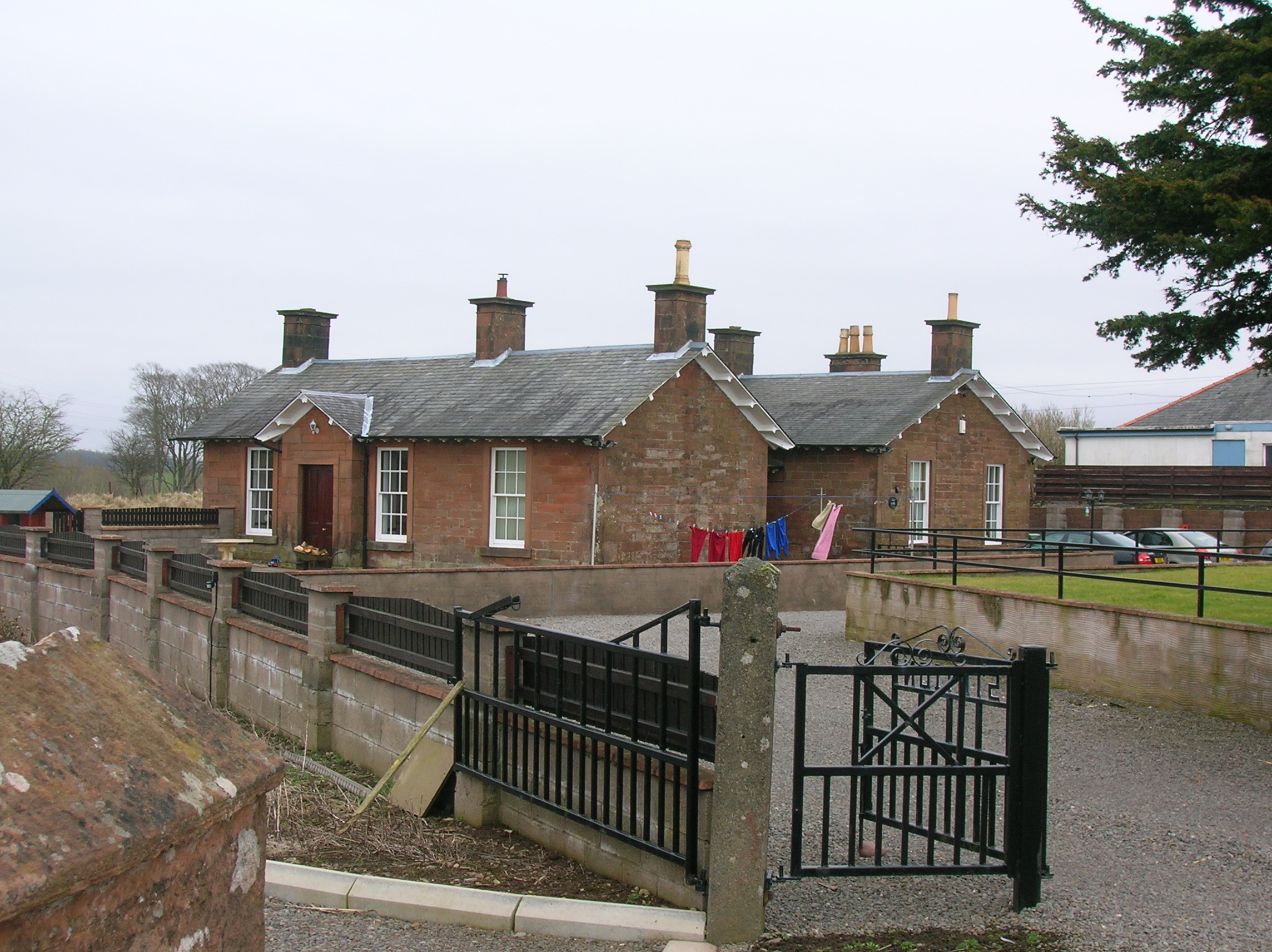
Wintersheugh Plantation Images

Images are sourced within 2km of 55.02357/-3.3254932 or Grid Reference NY1570. Thanks to Geograph Open Source API. All images are credited.

Repentance Tower The Repentance Tower is a very rare example of a mid-16th century watch tower standing on Trailtrow Hill, six miles north-west of Annan, Dumfries and Galloway. Built in 1565 by John Maxwell, the tower takes its name from an inscription Repentance carved on the stonework above the entrance door.

<span class="nowrap"><a title="https://en.wikipedia.org/wiki/Repentance_Tower" rel="nofollow ugc noopener" href="https://en.wikipedia.org/wiki/Repentance_Tower">Link</a><img style="margin-left:2px;" alt="External link" title="External link - shift click to open in new window" src="https://s1.geograph.org.uk/img/external.png" width="10" height="10"/></span>
Repentance Tower
The Repentance Tower is a very rare example of a mid-16th century watch tower standing on Trailtrow Hill, six miles north-west of Annan, Dumfries and Galloway. Built in 1565 by John Maxwell, the tower takes its name from an inscription Repentance carved on the stonework above the entrance door. LinkExternal link
OS Rivet - Hoddom, Bridge <span class="nowrap"><a title="https://www.bench-marks.org.uk/bm136250" rel="nofollow ugc noopener" href="https://www.bench-marks.org.uk/bm136250">Link</a><img style="margin-left:2px;" alt="External link" title="External link - shift click to open in new window" src="https://s1.geograph.org.uk/img/external.png" width="10" height="10"/></span>
OS Rivet - Hoddom, Bridge
Close up of OS Rivet Bridge, Hoddom <span class="nowrap"><a title="https://www.bench-marks.org.uk/bm136250" rel="nofollow ugc noopener" href="https://www.bench-marks.org.uk/bm136250">Link</a><img style="margin-left:2px;" alt="External link" title="External link - shift click to open in new window" src="https://s1.geograph.org.uk/img/external.png" width="10" height="10"/></span>
Close up of OS Rivet Bridge, Hoddom
West parapet of bridge Hoddom
Section of bridge parapet with OS Rivet
OS Flush Bracket G4254 - Hoddom Mains <span class="nowrap"><a title="https://www.bench-marks.org.uk/bm11292" rel="nofollow ugc noopener" href="https://www.bench-marks.org.uk/bm11292">Link</a><img style="margin-left:2px;" alt="External link" title="External link - shift click to open in new window" src="https://s1.geograph.org.uk/img/external.png" width="10" height="10"/></span>
OS Flush Bracket G4254 - Hoddom Mains
Old Milestone by the B723, south of Lower Moor, Cummertrees Parish By the B723, in parish of Cummertrees (Annandale District), South of low power lines, East side of road.

Inscription reads:- : ANNAN 3 / LOCKERBY 7 : 
Carved bench mark and rivet on top.

Surveyed

Milestone Society National ID: DG_ANLB03
Old Milestone by the B723, south of Lower Moor, Cummertrees Parish
By the B723, in parish of Cummertrees (Annandale District), South of low power lines, East side of road. Inscription reads:- : ANNAN 3 / LOCKERBY 7 : Carved bench mark and rivet on top. Surveyed Milestone Society National ID: DG_ANLB03
Lay-by on the A75 Between Cummertrees and Annan
Lay-by on the A75
Between Cummertrees and Annan
Repentance Tower Ancient tower and burial ground overlooking Hoddom Castle
Repentance Tower
Ancient tower and burial ground overlooking Hoddom Castle
Path, Woodcockair Footpath following the southwestern boundary of Woodcockair, an area of mixed woodland on a hillside beside the river Annan.
Path, Woodcockair
Footpath following the southwestern boundary of Woodcockair, an area of mixed woodland on a hillside beside the river Annan.
View from Woodcockair Looking from the boundary of Woodcockair, an area of mixed woodland, towards the Solway Firth, which can be seen on a clear day, though not on this cold, damp, misty one!
View from Woodcockair
Looking from the boundary of Woodcockair, an area of mixed woodland, towards the Solway Firth, which can be seen on a clear day, though not on this cold, damp, misty one!
Field Near East Bowhill
Minor Road Beside Wintersheugh Plantation
Track Near Repentancehill
Field of Cattle Near Repentancehill
Fields Near Trailtrow
Track to West Trailtrow Farm
Track Near Beckhead
Track Near Beckhead
Show me another place!

Wintersheugh Plantation is located at Grid Ref: NY1570 (Lat: 55.02357, Lng: -3.3254932)

Unitary Authority: Dumfries and Galloway

Police Authority: Dumfries and Galloway

What 3 Words

///blanks.including.album. Near Annan, Dumfries & Galloway

Related Wikis

Hoddom Castle

Hoddom Castle is a large tower house in Dumfries and Galloway, south Scotland. It is located by the River Annan, 4 kilometres (2.5 mi) south-west of Ecclefechan...

Kinmount House

Kinmount House is a 19th-century country house in the parish of Cummertrees in the historic county of Dumfriesshire in Dumfries and Galloway region, Scotland...

Hoddom

Hoddom is a small settlement and civil parish in Dumfries and Galloway, Scotland, dating back to the 8th century. == Location == Hoddom is 13 miles by...

Brydekirk

Brydekirk (Scottish Gaelic: Eaglais Bhride) is a village in Annandale in Dumfries and Galloway, Scotland located approximately 4 km north of Annan. The...

Annandale, Dumfries and Galloway

Annandale (Gaelic: Srath Anann) is a strath in Dumfries and Galloway, Scotland, named after the dale of the River Annan. It runs north–south through the...

Cummertrees railway station

Cummertrees railway station was a railway station in Dumfries and Galloway south of Dumfries, serving the village of Cummertrees. The village lies some...

Powfoot Halt railway station

Powfoot Halt railway station was a railway station in Powfoot, near Dumfries and Galloway, Scotland, south of Cummertrees serving the workers at the MOD...

Cummertrees

Cummertrees is a coastal village and civil parish of Annandale in the historical county of Dumfriesshire in Dumfries and Galloway. It lies about 1 mile...

Nearby Amenities

Located within 500m of 55.02357,-3.3254932
Power: pole
Lat/Long: 55.0202069/-3.3241154
Power: pole
Lat/Long: 55.0257668/-3.330035
Power: pole
Lat/Long: 55.0200778/-3.3227585
Power: pole
Lat/Long: 55.0254086/-3.3291448
Power: pole
Lat/Long: 55.0244153/-3.329166
Power: pole
Lat/Long: 55.0223427/-3.3291955
Power: pole
Lat/Long: 55.0261189/-3.3309524
Power: pole
Lat/Long: 55.0234067/-3.3291794
Power: pole
Lat/Long: 55.0206913/-3.3268003
Power: pole
Lat/Long: 55.0204622/-3.3254943
Power: pole
Lat/Long: 55.0214633/-3.3292714
Power: pole
Lat/Long: 55.0210649/-3.3279966
Power: pole
Lat/Long: 55.0199578/-3.3214144
Power: pole
Lat/Long: 55.0223005/-3.3329913
The data included in this document is from www.openstreetmap.org. The data is made available under ODbL.

Have you been to Wintersheugh Plantation?

Leave your review of Wintersheugh Plantation below (or comments, questions and feedback).