Badan Donnachaidh
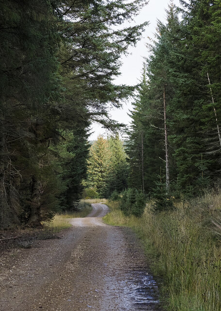
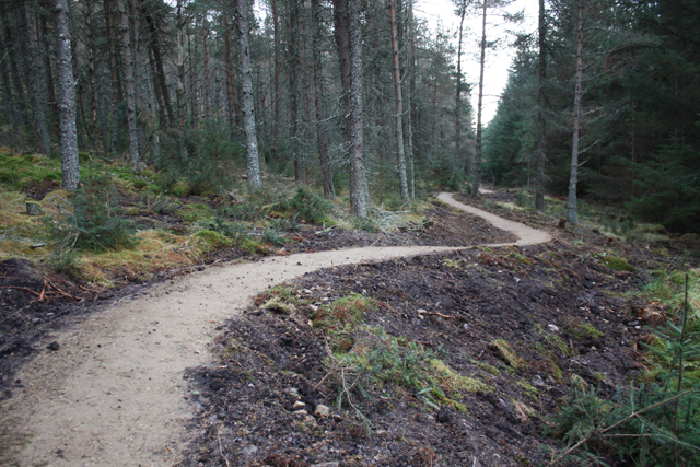
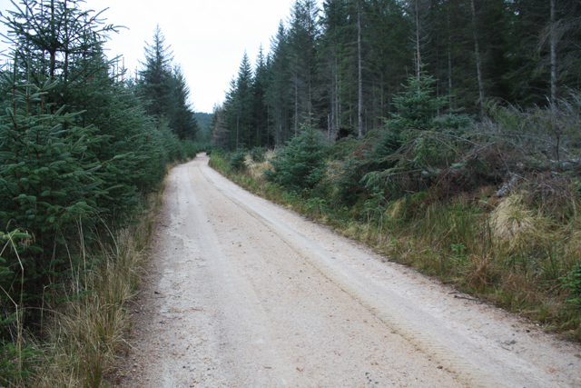
Wood, Forest in Banffshire
Scotland
Badan Donnachaidh
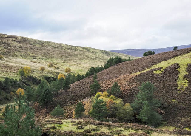
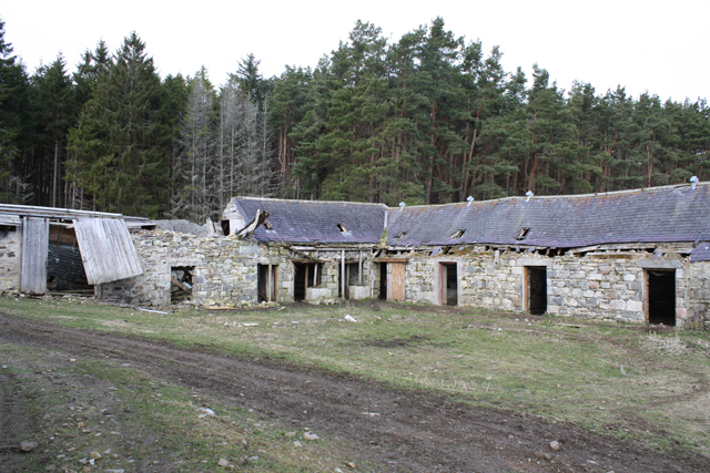
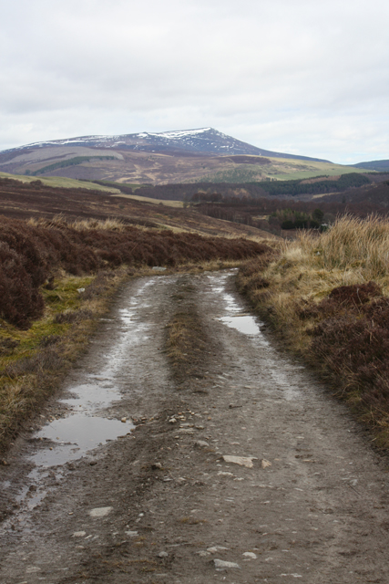
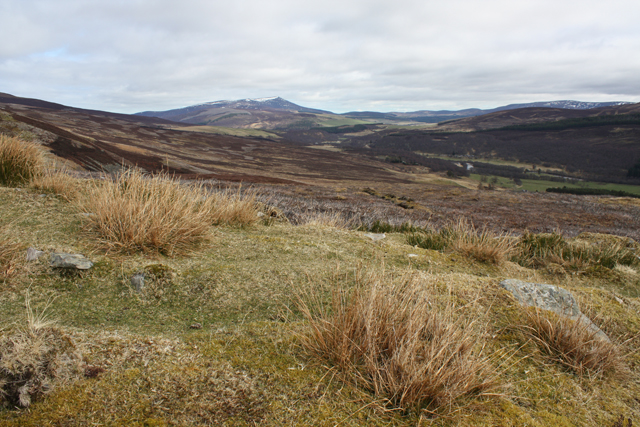
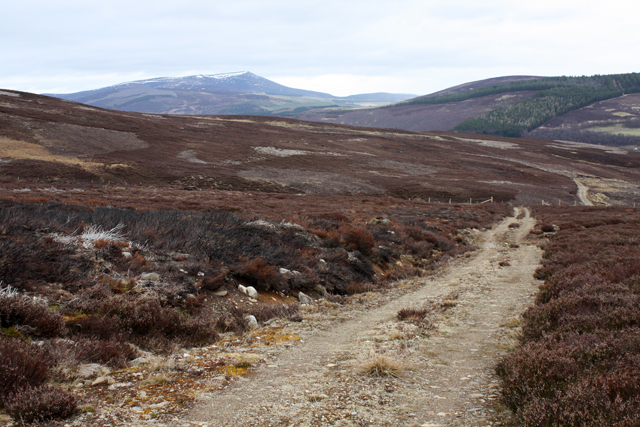
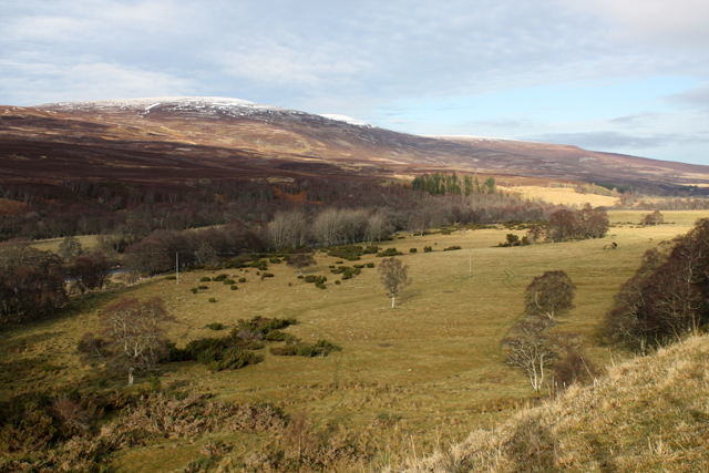
Badan Donnachaidh is a small village located in Banffshire, Scotland. Situated amidst lush woodlands and forests, it is a picturesque and serene destination for nature lovers and those seeking tranquility. The village is known for its abundant greenery and breathtaking landscapes, making it an ideal retreat for outdoor enthusiasts.
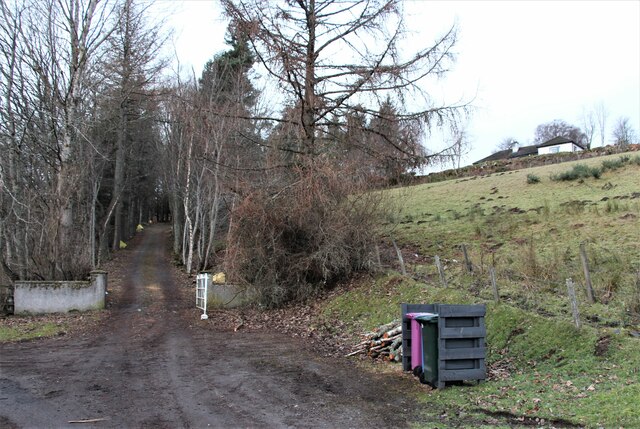
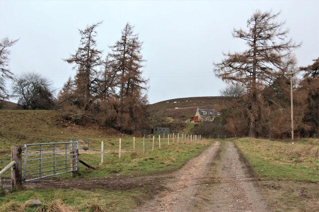
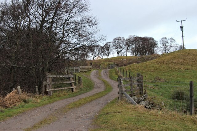
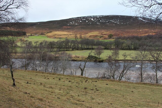
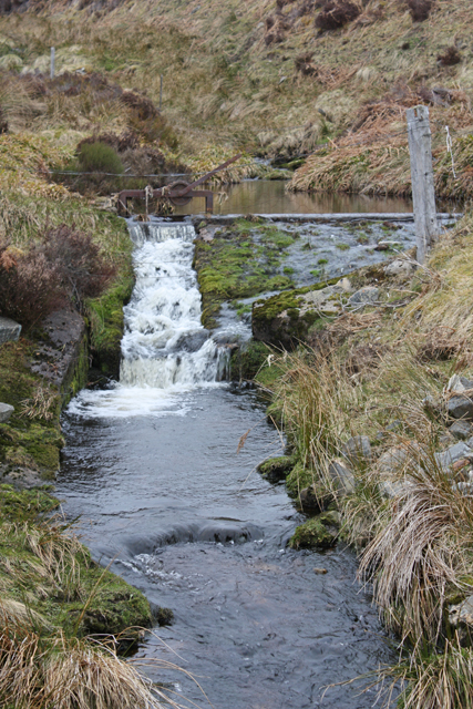
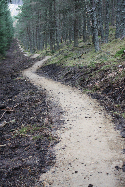
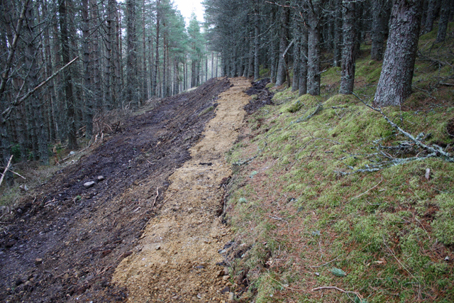
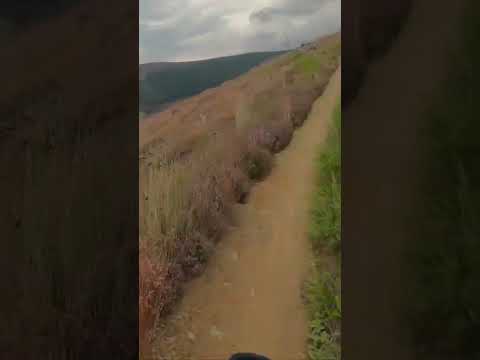
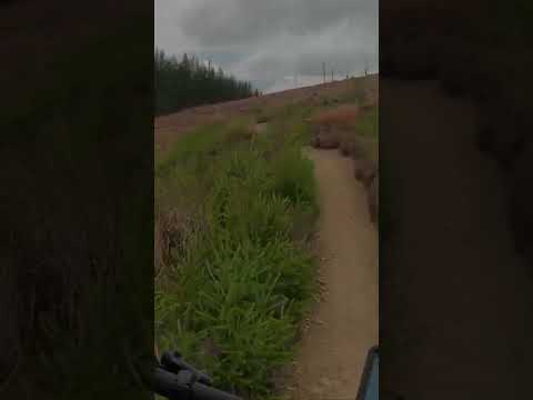
The wood and forest surrounding Badan Donnachaidh offer a diverse range of flora and fauna, attracting wildlife enthusiasts and birdwatchers. The area is home to a variety of tree species, including oak, birch, and pine, creating a rich and vibrant ecosystem. The dense forest provides an idyllic setting for leisurely walks, hiking, or simply immersing oneself in the beauty of nature.
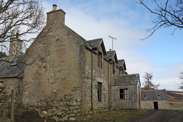
The village itself is small but charming, with a close-knit community that prides itself on preserving its natural surroundings. Traditional stone cottages dot the landscape, adding to the rustic charm of the area. The locals are known for their warm hospitality, often welcoming visitors to explore the village's attractions and learn about its history.
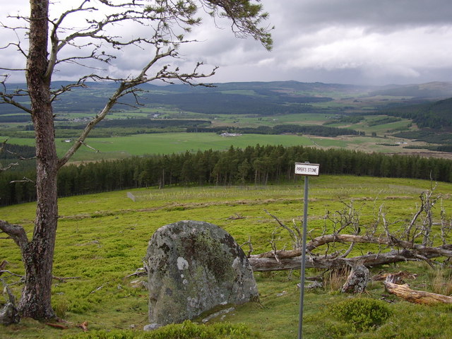
For those interested in history, Badan Donnachaidh is rich in Scottish heritage. Historical landmarks such as ancient ruins and burial sites can be found in the vicinity, offering glimpses into the village's past.
Overall, Badan Donnachaidh in Banffshire is a haven for nature lovers, offering a serene escape from the hustle and bustle of everyday life. Its woodlands and forests, coupled with its charming village and historical significance, make it a truly captivating destination.
If you have any feedback on the listing, please let us know in the comments section below.
Badan Donnachaidh Images
Images are sourced within 2km of 57.314343/-3.4061822 or Grid Reference NJ1525. Thanks to Geograph Open Source API. All images are credited.
Badan Donnachaidh is located at Grid Ref: NJ1525 (Lat: 57.314343, Lng: -3.4061822)
Unitary Authority: Moray
Police Authority: North East
What 3 Words
///daylight.comically.material. Near Grantown-on-Spey, Highland
Nearby Locations
Related Wikis

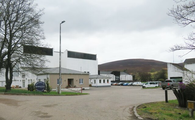
Tomintoul distillery
Tomintoul distillery is a distillery in Kirkmichael, between Ballindalloch and Tomintoul in the Speyside region of Scotland, producing malt whisky for...

Kirkmichael, Moray
Kirkmichael is a parish and hamlet in Moray, Scotland. Kirkmichael was historically part of Banffshire.The hamlet lies approximately 8 miles south of Ballindalloch...

The Glenlivet distillery
The Glenlivet distillery is a distillery near Ballindalloch in Moray, Scotland that produces single malt Scotch whisky. It is the oldest legal distillery...

Blairfindy Castle
Blairfindy Castle is an L-plan tower house, dating from the 16th century, around 6.5 miles (10.5 km) north of Tomintoul, and west of the River Livet....
Battle of Cromdale
The Battle of Cromdale took place at the Haughs of Cromdale on 30 April and 1 May 1690. The site is on a hillside near the village of Cromdale, then in...

Drumin Castle
Drumin Castle is a ruined tower house near Glenlivet, Moray, Scotland. The castle is situated on a ridge above the junction of the Livet and Avon Rivers...
Glenlivet Estate
The Glenlivet Estate is located in Glenlivet, Scotland in the Cairngorms National Park. It measures 58,000 acres (230 km2) and is part of The Crown Estate...

Glenlivet
Glenlivet (Scottish Gaelic: Gleann Lìobhait) is the glen in the Scottish Highlands through which the River Livet flows. The river rises high in the Ladder...
Related Videos
Camping on the Speyside Way: Tomintoul Spur
Lewis (my son), Jura and I set off from Ballindalloch station at Cragganmore after parking up the van. We'd planned to walk the ...
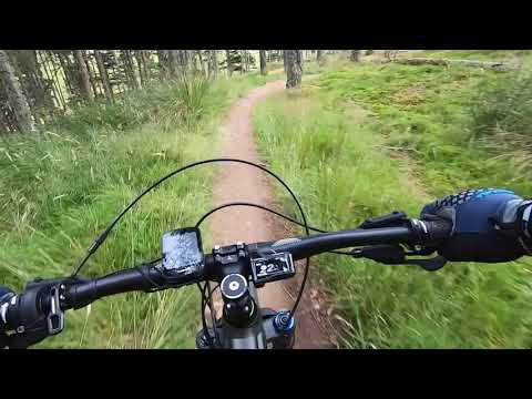
Glenlivet mtb. Fast & Flowy Single Track. Downhill mtb. Singletrack mtb. Cairngorms mtb. #shorts
Glenlivet mountain bike trails. GPX ROUTES INCLUDED. Glenlivet blue trail. Bike Glenlivet. Tomintoul. Downhill mountain biking.
Glenlivet mtb. Glenlivet Blue Trail. Short 1. Downhill mtb. Singletrack mtb. Cairngorms mtb. #shorts
This MTB trail centre is SO MUCH FUN. Glenlivet mountain bike trails. GPX ROUTES INCLUDED. #shorts Glenlivet blue trail.
Glenlivet Blue
Up at 5am for the 3 hour drive north to Glenlivet mountain bike trails, rain was forecast for the afternoon so had a few hours to ...
Nearby Amenities
Located within 500m of 57.314343,-3.4061822Have you been to Badan Donnachaidh?
Leave your review of Badan Donnachaidh below (or comments, questions and feedback).