Hewke Wood

Wood, Forest in Dumfriesshire

Scotland

Hewke Wood

B723 towards Lockerbie
B723 towards Lockerbie Credit: Steven Brown

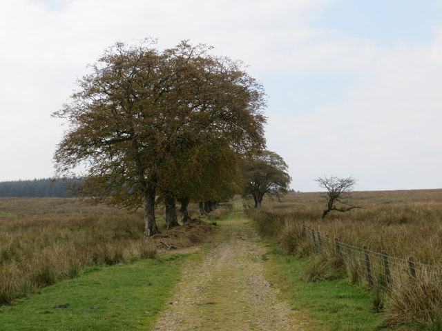
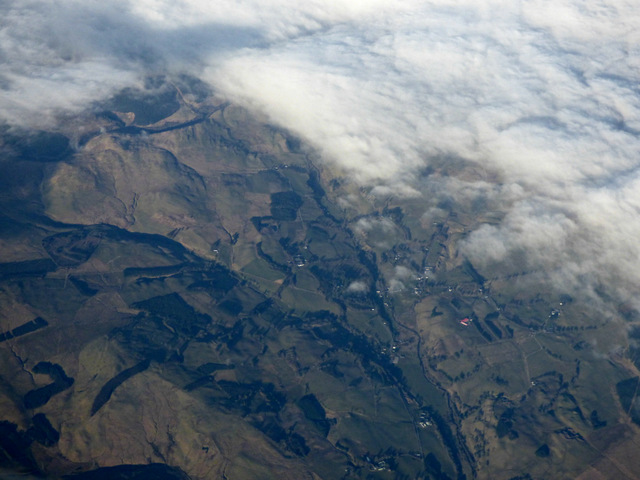
Hewke Wood is a sprawling woodland located in Dumfriesshire, Scotland. Covering an area of approximately 500 acres, it is renowned for its natural beauty and diverse range of flora and fauna. The wood is situated in a rural setting, providing visitors with a tranquil and serene environment to explore.

The wood is predominantly made up of deciduous trees, including oak, birch, and beech, which create a stunning display of vibrant colors during the autumn season. The dense canopy allows only dappled sunlight to filter through, creating an enchanting atmosphere for those who venture into its depths.

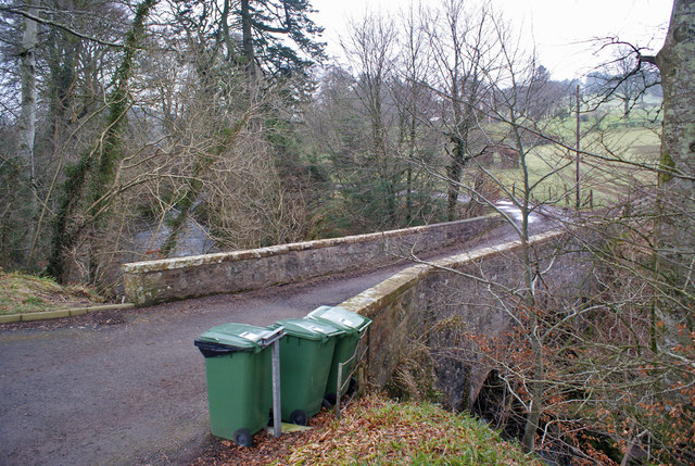
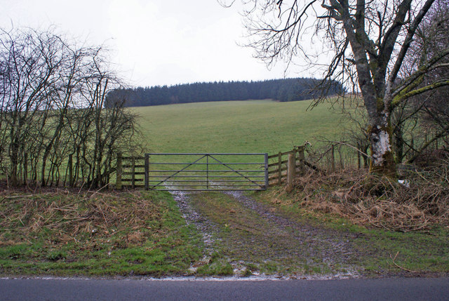
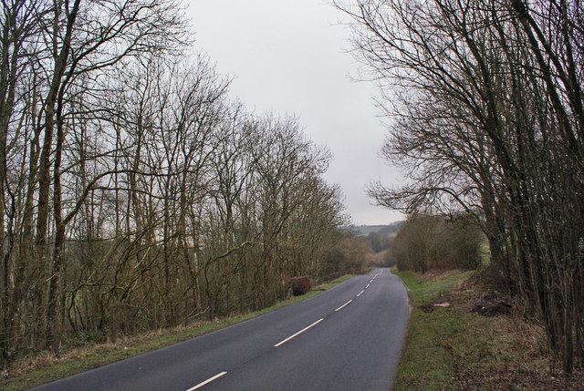
Within the wood, there are numerous walking trails and paths that wind their way through the forest, allowing visitors to fully immerse themselves in the natural surroundings. These trails vary in difficulty, catering to both casual strollers and experienced hikers. Along the way, there are several viewpoints that offer breathtaking vistas of the surrounding countryside.

Hewke Wood is also home to a rich variety of wildlife. Birdwatchers will delight in the opportunity to spot species such as woodpeckers, owls, and various songbirds. Additionally, the wood is inhabited by small mammals like red squirrels, badgers, and deer, making it a haven for nature enthusiasts and photographers alike.

The wood is open to the public year-round, providing a peaceful retreat for individuals seeking solace in nature. Whether it be a leisurely stroll, a picnic amongst the trees, or an adventure-filled hike, Hewke Wood offers something for everyone to enjoy in Dumfriesshire, Scotland.

If you have any feedback on the listing, please let us know in the comments section below.
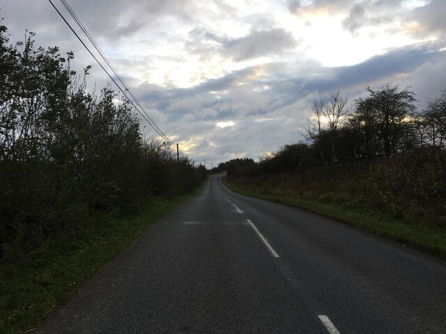
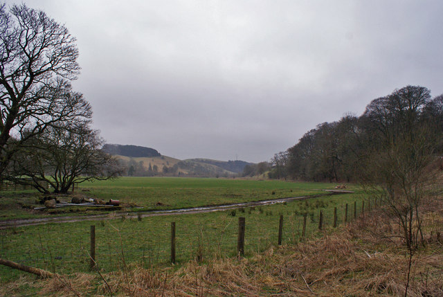
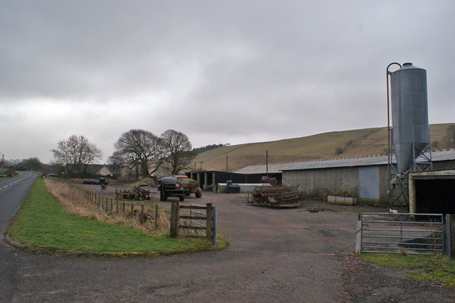
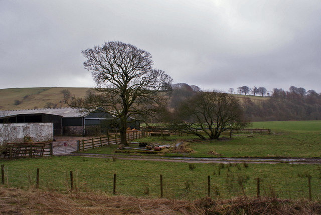
Hewke Wood Images

Images are sourced within 2km of 55.190792/-3.3300362 or Grid Reference NY1589. Thanks to Geograph Open Source API. All images are credited.

B723 towards Lockerbie
Farmland at Berryscaur Looking south from the side of the B723.
Farmland at Berryscaur
Looking south from the side of the B723.
Farm buildings at Berryscaur The road on the left is the B723
Farm buildings at Berryscaur
The road on the left is the B723
Berryscaur Farm buildings and farmland, viewed from the side of the B732.
Berryscaur
Farm buildings and farmland, viewed from the side of the B732.
Track leading to Newbigging Hill Looking westward.
Track leading to Newbigging Hill
Looking westward.
Ordnance Survey Flush Bracket 12080 This can be found on the wall of a private dwelling at Berryscaur.
For more detail see : <span class="nowrap"><a title="http://www.bench-marks.org.uk/bm22748" rel="nofollow ugc noopener" href="http://www.bench-marks.org.uk/bm22748">Link</a><img style="margin-left:2px;" alt="External link" title="External link - shift click to open in new window" src="https://s1.geograph.org.uk/img/external.png" width="10" height="10"/></span>
Ordnance Survey Flush Bracket 12080
This can be found on the wall of a private dwelling at Berryscaur. For more detail see : LinkExternal link
B723 towards Lockerbie
B723 near Sibbaldbie
Howthat Hill and Boreland from the air Viewed from a Glasgow bound flight from Stansted.
Howthat Hill and Boreland from the air
Viewed from a Glasgow bound flight from Stansted.
Boreland from the air Viewed from a Glasgow bound flight from Stansted.
Boreland from the air
Viewed from a Glasgow bound flight from Stansted.
B723 at Hewke Looking south - the road leads to Lockerbie.
B723 at Hewke
Looking south - the road leads to Lockerbie.
Hewke Bridge The bridge spans the Dryfe Water, and carries the entrance road to Hewke farm.
Hewke Bridge
The bridge spans the Dryfe Water, and carries the entrance road to Hewke farm.
Dryfe Water Looking south (downstream) from Hewke Bridge.
Dryfe Water
Looking south (downstream) from Hewke Bridge.
Hewke Viewed from its entrance from the B723, Hewke is a country house standing above the Dryfe Water.
Hewke
Viewed from its entrance from the B723, Hewke is a country house standing above the Dryfe Water.
Roadside cottage The road is the B723, in this direction, heading towards Lockerbie.
Roadside cottage
The road is the B723, in this direction, heading towards Lockerbie.
Field entrance The gateway leads from the B723. The distant trees are on Blindhillbush Hill.
Field entrance
The gateway leads from the B723. The distant trees are on Blindhillbush Hill.
B723, looking south west In this direction, the road leads to Lockerbie.
B723, looking south west
In this direction, the road leads to Lockerbie.
Sheep pasture My presence started a bit of a stampede towards me - I think the sheep thought I was going to feed them. Only the nearest one appears to have realised their mistake. In the background is Blindhillbush Hill.
Sheep pasture
My presence started a bit of a stampede towards me - I think the sheep thought I was going to feed them. Only the nearest one appears to have realised their mistake. In the background is Blindhillbush Hill.
Show me another place!

Hewke Wood is located at Grid Ref: NY1589 (Lat: 55.190792, Lng: -3.3300362)

Unitary Authority: Dumfries and Galloway

Police Authority: Dumfries and Galloway

What 3 Words

///racetrack.duty.pokes. Near Johnstonebridge, Dumfries & Galloway

Related Wikis

Boreland

Boreland is a village in Dumfries and Galloway, Scotland, which is located in Dryfesdale about 7 miles (11 kilometres) north of Lockerbie on the B723 road...

Sibbaldbie

Sibbaldbie is a small village in Annandale, Dumfries and Galloway, Scotland. == References ==

Dinwoodie railway station

Dinwoodie railway station was a station which served the rural area around the settlement of Dinwoodie, 6 miles north of Lockerbie in Applegarth parish...

Nethercleugh railway station

Nethercleugh railway station was a station which served the rural area around Nethercleugh and the estate of Jardine Hall, 3 miles north of Lockerbie in...

Nearby Amenities

Located within 500m of 55.190792,-3.3300362
Design: barrel
Power: tower
Lat/Long: 55.1878636/-3.3311103
Design: barrel
Power: tower
Lat/Long: 55.1893702/-3.3325663
Design: barrel
Power: tower
Lat/Long: 55.1933061/-3.3364444
Power: pole
Lat/Long: 55.1938068/-3.3274272
Power: pole
Lat/Long: 55.1934833/-3.3297714
Power: pole
Lat/Long: 55.1927569/-3.3318991
Power: pole
Lat/Long: 55.1921482/-3.3336636
Power: pole
Lat/Long: 55.19181/-3.3345832
Power: pole
Lat/Long: 55.1909894/-3.3353045
Power: pole
Lat/Long: 55.1899822/-3.3361958
The data included in this document is from www.openstreetmap.org. The data is made available under ODbL.

Have you been to Hewke Wood?

Leave your review of Hewke Wood below (or comments, questions and feedback).