Cnoc a' Bhodaich
Hill, Mountain in Banffshire
Scotland
Cnoc a' Bhodaich
Cnoc a' Bhodaich, located in Banffshire, Scotland, is a prominent hill that offers stunning views and a rich historical background. Rising to an elevation of approximately 243 meters (797 feet), it is an easily accessible landmark that attracts both locals and tourists alike.
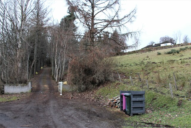
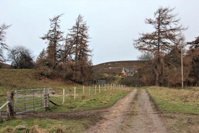
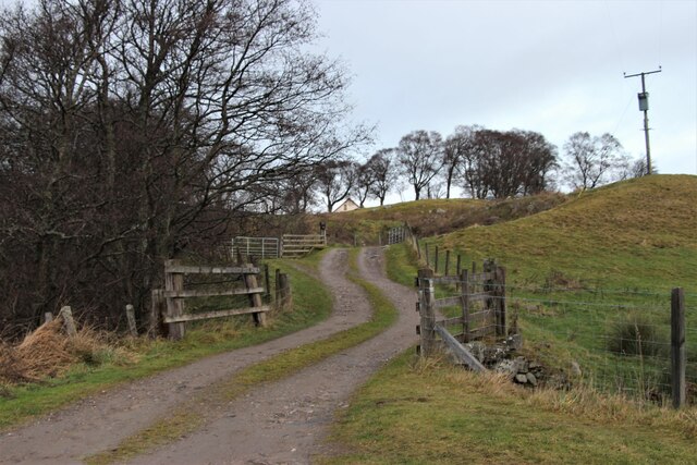
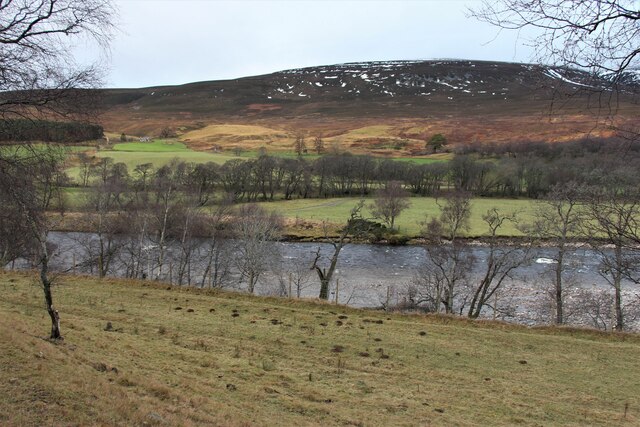
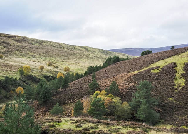
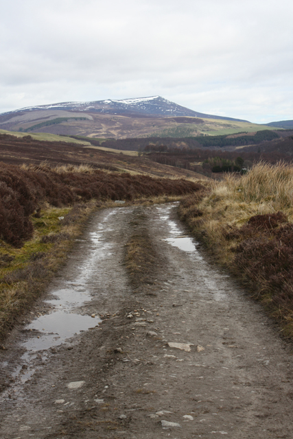
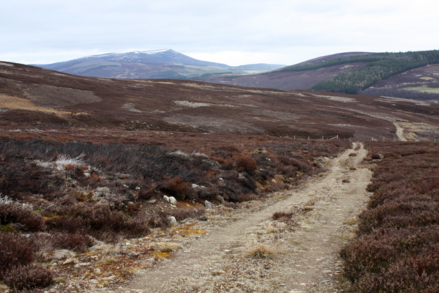
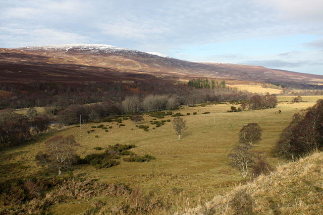
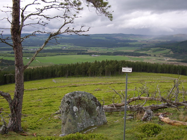
Situated near the town of Gardenstown, Cnoc a' Bhodaich offers panoramic views of the rugged coastline and the North Sea. On clear days, one can even catch a glimpse of the distant Scottish Highlands. The hill is covered in heather and gorse, providing a beautiful display of colors throughout the year.
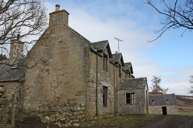
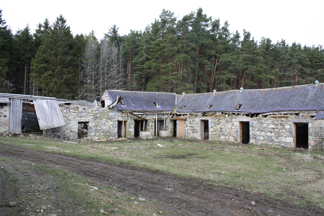
The name "Cnoc a' Bhodaich" translates to "Hill of the Old Man" in Gaelic, and it is believed to refer to an ancient burial ground that was once located on its slopes. The hill has been a site of human activity for centuries, with evidence of settlements dating back to the Iron Age. Archaeological finds, including pottery shards and stone tools, have been discovered in the area.
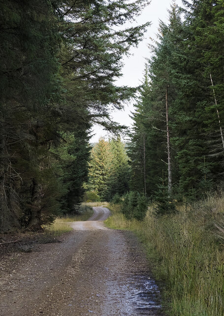
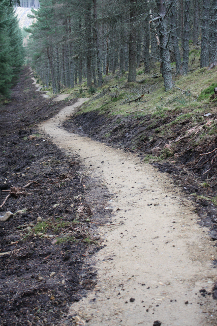
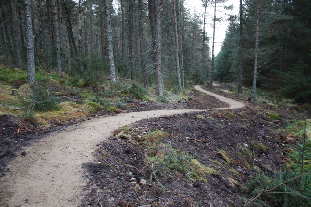
Visitors to Cnoc a' Bhodaich can enjoy a leisurely walk or hike to the summit, following well-marked trails that wind through the surrounding countryside. Along the way, they may encounter a variety of wildlife, including birds of prey and deer.
Overall, Cnoc a' Bhodaich combines natural beauty, historical significance, and recreational opportunities, making it a must-visit destination for nature enthusiasts and history buffs visiting Banffshire.
If you have any feedback on the listing, please let us know in the comments section below.
Cnoc a' Bhodaich Images
Images are sourced within 2km of 57.314054/-3.4031162 or Grid Reference NJ1525. Thanks to Geograph Open Source API. All images are credited.

Cnoc a' Bhodaich is located at Grid Ref: NJ1525 (Lat: 57.314054, Lng: -3.4031162)
Unitary Authority: Moray
Police Authority: North East
What 3 Words
///crops.abstracts.exposes. Near Grantown-on-Spey, Highland
Nearby Locations
Related Wikis

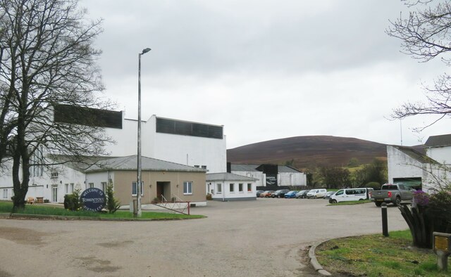
Tomintoul distillery
Tomintoul distillery is a distillery in Kirkmichael, between Ballindalloch and Tomintoul in the Speyside region of Scotland, producing malt whisky for...

Kirkmichael, Moray
Kirkmichael is a parish and hamlet in Moray, Scotland. Kirkmichael was historically part of Banffshire.The hamlet lies approximately 8 miles south of Ballindalloch...

The Glenlivet distillery
The Glenlivet distillery is a distillery near Ballindalloch in Moray, Scotland that produces single malt Scotch whisky. It is the oldest legal distillery...

Blairfindy Castle
Blairfindy Castle is an L-plan tower house, dating from the 16th century, around 6.5 miles (10.5 km) north of Tomintoul, and west of the River Livet....
Glenlivet Estate
The Glenlivet Estate is located in Glenlivet, Scotland in the Cairngorms National Park. It measures 58,000 acres (230 km2) and is part of The Crown Estate...

Drumin Castle
Drumin Castle is a ruined tower house near Glenlivet, Moray, Scotland. The castle is situated on a ridge above the junction of the Livet and Avon Rivers...
Battle of Cromdale
The Battle of Cromdale took place at the Haughs of Cromdale on 30 April and 1 May 1690. The site is on a hillside near the village of Cromdale, then in...

Tamnavulin distillery
Tamnavulin distillery is a producer of single malt Scotch whisky that was founded in 1966. The distillery is operated by Whyte & Mackay, which Philippines...
Nearby Amenities
Located within 500m of 57.314054,-3.4031162Have you been to Cnoc a' Bhodaich?
Leave your review of Cnoc a' Bhodaich below (or comments, questions and feedback).