Big Wood

Wood, Forest in Dumfriesshire

Scotland

Big Wood

OS Cut Mark - Dalton, Murraythwaite Mill Cottage
OS Cut Mark - Dalton, Murraythwaite Mill Cottage Credit: thejackrustles

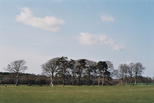
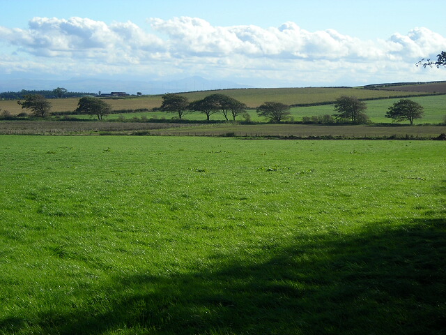
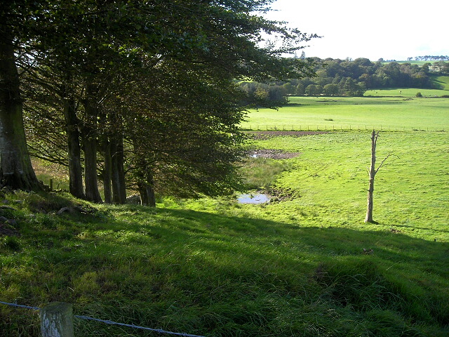
Big Wood is a sprawling forest located in Dumfriesshire, Scotland. It covers an expansive area of land, stretching across several miles and is known for its breathtaking natural beauty. The forest is situated amidst rolling hills, offering visitors panoramic views of the surrounding countryside.

Big Wood is home to a diverse range of flora and fauna, making it a haven for nature enthusiasts. The forest boasts an impressive variety of trees, including oak, beech, and Scots pine, providing a rich habitat for numerous bird species, small mammals, and insects.

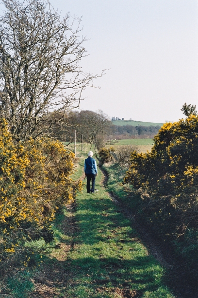
The wood is crisscrossed by a network of well-maintained trails, allowing visitors to explore its scenic wonders on foot. These pathways cater to all levels of fitness and provide a wonderful opportunity for hiking, jogging, or simply leisurely strolls amidst nature. Along the trails, one can discover hidden streams, quaint bridges, and charming picnic spots, perfect for taking a break and immersing oneself in the tranquil surroundings.

Big Wood also offers recreational activities such as mountain biking and horseback riding, adding to its appeal for outdoor enthusiasts. The forest's vast expanse ensures that there is ample space for these activities without compromising the serene atmosphere.

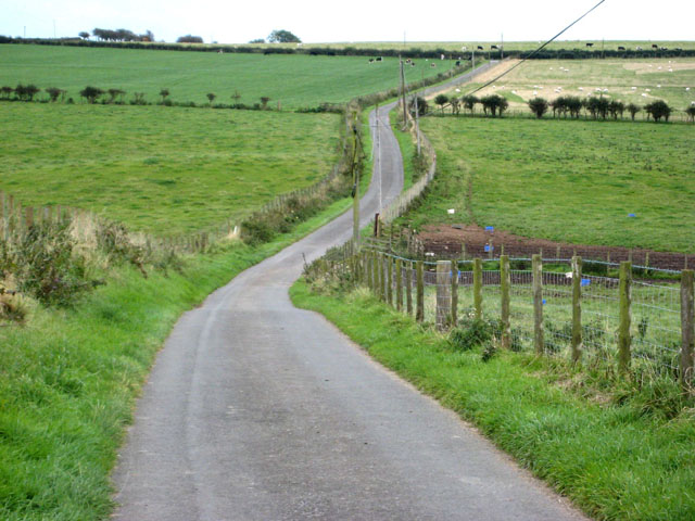
Furthermore, the forest is easily accessible, with car parks located at convenient intervals. This accessibility, combined with its natural beauty and diverse wildlife, has made Big Wood a popular destination for locals and tourists alike, who seek solace in its peaceful ambiance and seek to reconnect with nature.

If you have any feedback on the listing, please let us know in the comments section below.
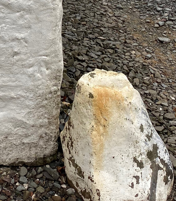
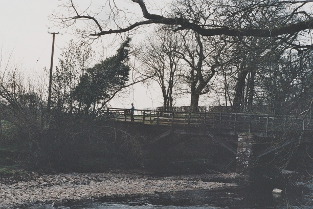
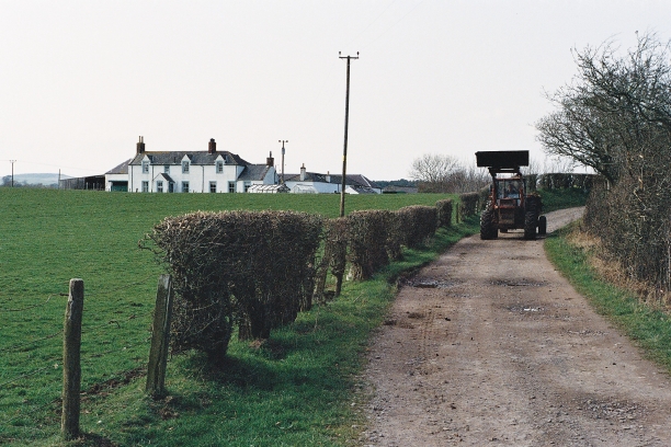
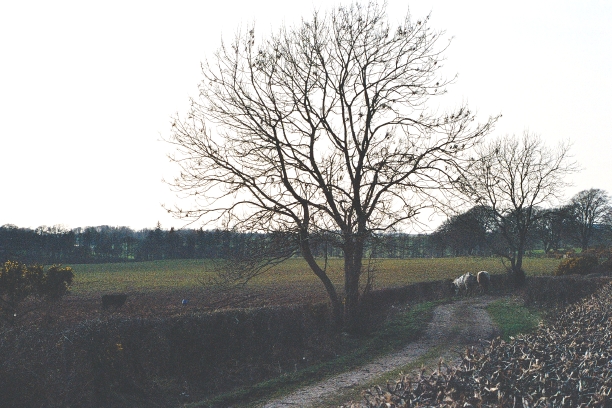
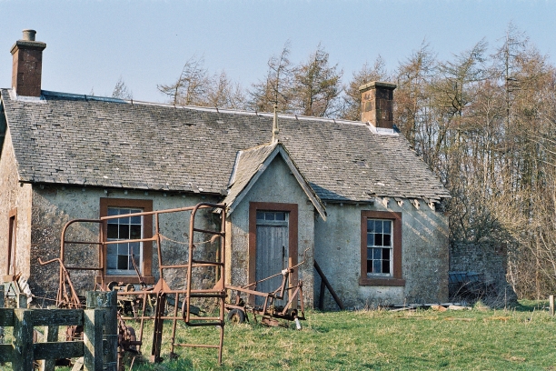
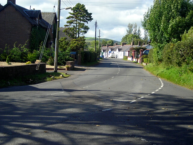
Big Wood Images

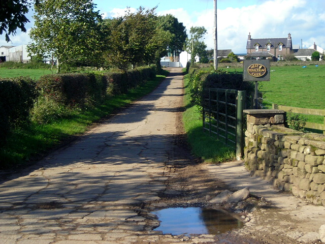
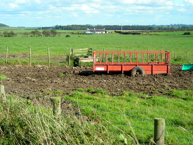
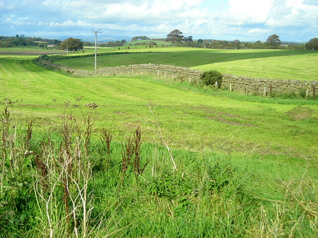
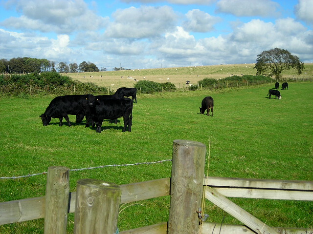
Images are sourced within 2km of 55.038754/-3.3592483 or Grid Reference NY1372. Thanks to Geograph Open Source API. All images are credited.

OS Cut Mark - Dalton, Murraythwaite Mill Cottage
Close up of OS Cut Mark - Dalton, Murraythwaite Mill Cottage
Bridge over the Water of Milk Just upstream from its confluence with the Annan
Bridge over the Water of Milk
Just upstream from its confluence with the Annan
Brocklerigg Friendly farmer with muckspreader
Brocklerigg
Friendly farmer with muckspreader
Bull blocking the road A farm track to nowhere
Bull blocking the road
A farm track to nowhere
Toward Sorrysike Moor
Higher Brocklerigg Awaiting restoration
Higher Brocklerigg
Awaiting restoration
Green Road Above Higher Brocklerigg with Repentance Tower (NY1572) on the skyline
Green Road
Above Higher Brocklerigg with Repentance Tower (NY1572) on the skyline
Fields Near Trailtrow
Track to West Trailtrow Farm
Trailer Near Trailtrow
Fields Near Round Hill
Cattle Near Millstonerigg
Trees and Fields South of Dalton
Stenries Farm A large farm, just north of the A75, to the west of Carrutherstown.
Stenries Farm
A large farm, just north of the A75, to the west of Carrutherstown.
Transmission mast near West Bowhill Operated by Arqiva <span class="nowrap"><a title="http://en.wikipedia.org/wiki/Arqiva" rel="nofollow ugc noopener" href="http://en.wikipedia.org/wiki/Arqiva">Link</a><img style="margin-left:2px;" alt="External link" title="External link - shift click to open in new window" src="https://s1.geograph.org.uk/img/external.png" width="10" height="10"/></span> one of the principal operators of broadcast transmission stations in this country. This one, located beside the B7020 Annan to Lochmaben road is relatively modest in size.
Transmission mast near West Bowhill
Operated by Arqiva LinkExternal link one of the principal operators of broadcast transmission stations in this country. This one, located beside the B7020 Annan to Lochmaben road is relatively modest in size.
Country road near Dalton This road suns south from the B725 Dalton to Ecclefechan road, passing Woodhead Farm (just off the photo to the right).
Country road near Dalton
This road suns south from the B725 Dalton to Ecclefechan road, passing Woodhead Farm (just off the photo to the right).
West Lodge, Hoddom Castle Even the lodgekeepers seem to have lived in considerable style!
West Lodge, Hoddom Castle
Even the lodgekeepers seem to have lived in considerable style!
Show me another place!

Big Wood is located at Grid Ref: NY1372 (Lat: 55.038754, Lng: -3.3592483)

Unitary Authority: Dumfries and Galloway

Police Authority: Dumfries and Galloway

What 3 Words

///onwards.universe.tasks. Near Annan, Dumfries & Galloway

Related Wikis

Dalton, Dumfries and Galloway

The village of Dalton is a small settlement about 10 miles (16 km) southeast of Dumfries and 4 miles (6.4 km) south of Lockerbie, in Dumfries and Galloway...
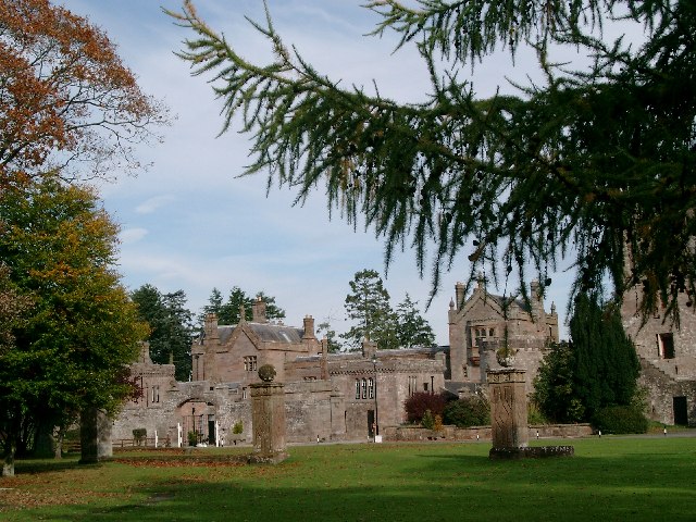
Hoddom Castle

Hoddom Castle is a large tower house in Dumfries and Galloway, south Scotland. It is located by the River Annan, 4 kilometres (2.5 mi) south-west of Ecclefechan...

Carrutherstown

Carrutherstown is a village in the civil parish of Dalton, in Dumfries and Galloway, Scotland. It is about 9 miles (14 km) east of Dumfries. == Demographics... ==

Hoddom

Hoddom is a small settlement and civil parish in Dumfries and Galloway, Scotland, dating back to the 8th century. == Location == Hoddom is 13 miles by...

Nearby Amenities

Located within 500m of 55.038754,-3.3592483
Woodhead
Place: locality
Lat/Long: 55.0381862/-3.3552278
Power: pole
Lat/Long: 55.0347441/-3.3580193
Power: pole
Lat/Long: 55.0352666/-3.3578029
Power: pole
Lat/Long: 55.0352164/-3.3567803
Power: pole
Lat/Long: 55.0351648/-3.3557061
Power: pole
Lat/Long: 55.0356844/-3.3559946
Power: pole
Lat/Long: 55.0361966/-3.3562882
Power: pole
Lat/Long: 55.0368225/-3.3558375
Power: pole
Lat/Long: 55.0374233/-3.3554124
Power: pole
Lat/Long: 55.0381909/-3.3549178
The data included in this document is from www.openstreetmap.org. The data is made available under ODbL.

Have you been to Big Wood?

Leave your review of Big Wood below (or comments, questions and feedback).