Crombie Wood

Wood, Forest in Perthshire

Scotland

Crombie Wood

Lane near Fordel The single track alternative to the M90 near Glenfarg.
Lane near Fordel Credit: Richard Webb

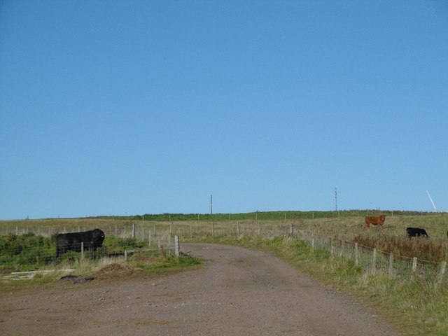
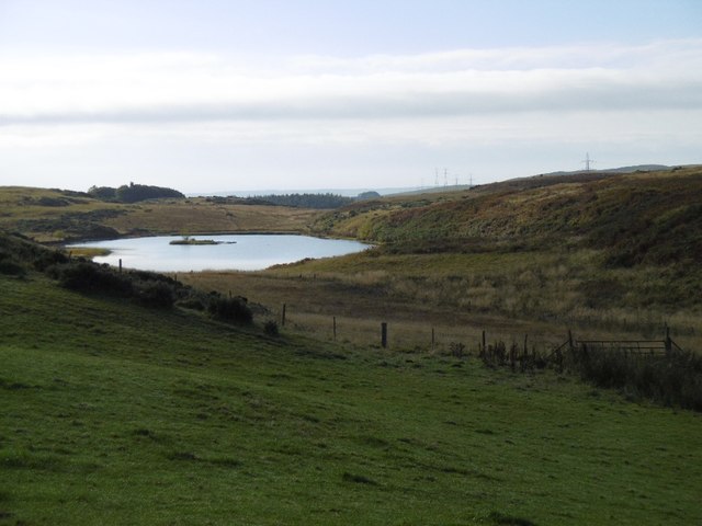
Crombie Wood is a picturesque forest located in Perthshire, Scotland. Covering an area of approximately 300 hectares, it is situated near the village of Abernethy and is easily accessible from the nearby towns of Perth and Dundee. The wood is part of the larger Crombie Country Park, which also encompasses a reservoir and open grassland.

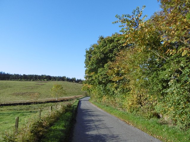
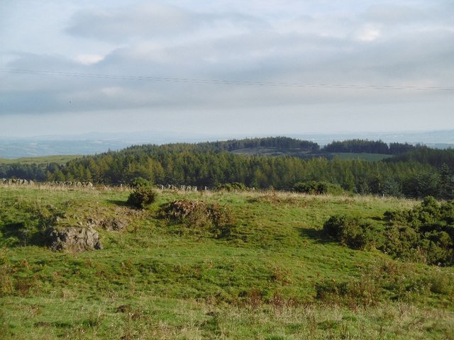
The wood features a diverse range of tree species, including oak, birch, beech, and Scots pine. These trees create a dense canopy, providing a sheltered and tranquil environment for visitors. The forest floor is carpeted with a variety of wildflowers and ferns, adding to the enchanting atmosphere.

There are several well-maintained walking trails that wind their way through the wood, offering visitors the opportunity to explore its beauty at their own pace. These paths vary in length and difficulty, catering to both casual strollers and avid hikers. Along the way, visitors may come across many species of birds, such as woodpeckers, song thrushes, and tits, as well as squirrels and other small mammals.

Crombie Wood is not only a haven for nature enthusiasts but also a popular destination for picnicking and family outings. The park provides ample parking facilities, picnic areas, and even a children's play area. Additionally, there are well-maintained toilet facilities and information boards to enhance the visitor experience.

Overall, Crombie Wood is a peaceful and idyllic woodland retreat, offering visitors the chance to immerse themselves in nature's beauty and enjoy a respite from the hustle and bustle of everyday life.

If you have any feedback on the listing, please let us know in the comments section below.
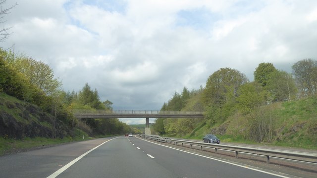
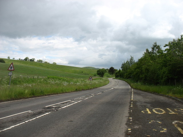
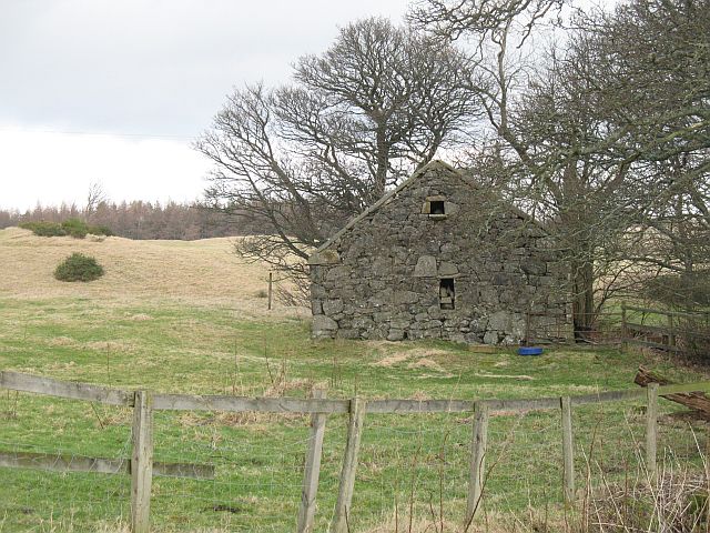
Crombie Wood Images

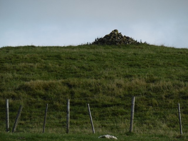
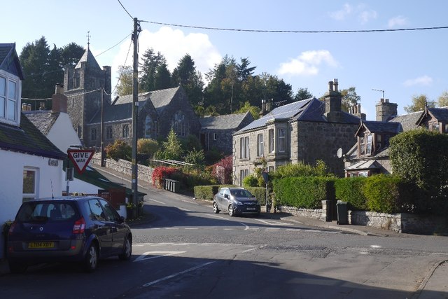
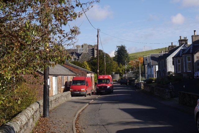
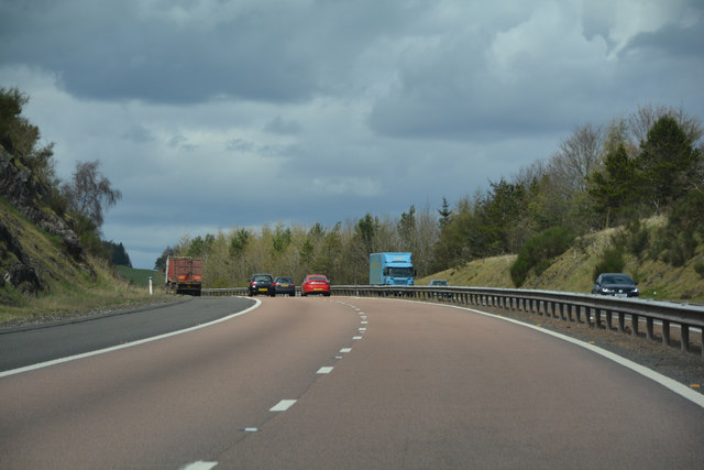
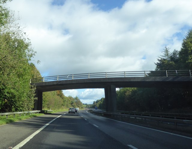
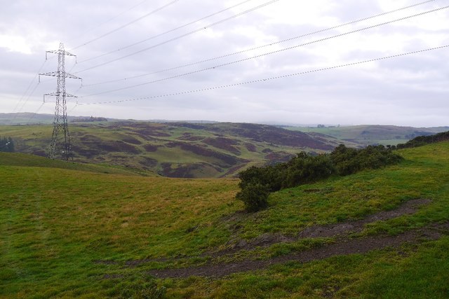
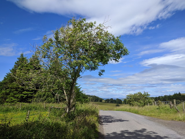
Images are sourced within 2km of 56.288585/-3.4034759 or Grid Reference NO1311. Thanks to Geograph Open Source API. All images are credited.

Lane near Fordel The single track alternative to the M90 near Glenfarg.
Lane near Fordel
The single track alternative to the M90 near Glenfarg.
Wind farm road, Lochelbank As is usual practice, a road has been built by the wind farm constructors around the farm. The Aberdeen Angus bull was rather keen to cross it.
Wind farm road, Lochelbank
As is usual practice, a road has been built by the wind farm constructors around the farm. The Aberdeen Angus bull was rather keen to cross it.
Turnips, Lochelbank
Turnips, Lochelbank
Field, Lochelbank Lumpy ground on the Ochil Hills igneous rock.
Field, Lochelbank
Lumpy ground on the Ochil Hills igneous rock.
Basalt outcrop, Lochelbank The ground looks quarried here.
Basalt outcrop, Lochelbank
The ground looks quarried here.
Wind farm roads, Lochelbank An older wind farm with relatively inoffensive turbines, much smaller than those usually built today.
Wind farm roads, Lochelbank
An older wind farm with relatively inoffensive turbines, much smaller than those usually built today.
Cattle, Lochelbank The road serves the wind farm.
Cattle, Lochelbank
The road serves the wind farm.
Loch Wirr One of the small lochs in this part of the Ochil Hills.
Loch Wirr
One of the small lochs in this part of the Ochil Hills.
Cairn Geddes Possible Bronze Age site - a stone coffin was once found here, (glenfarg.org).
Cairn Geddes
Possible Bronze Age site - a stone coffin was once found here, (glenfarg.org).
Ladeside and Church Brae, Glenfarg View from outside the village shop.
Ladeside and Church Brae, Glenfarg
View from outside the village shop.
Ladeside, Glenfarg
Ladeside, Glenfarg
Perth & Kinross : The M90 Motorway Heading north through Scotland on the M90.
Perth & Kinross : The M90 Motorway
Heading north through Scotland on the M90.
Bridge over the M90 near Glenfarg
Power line, Glen Farg The reservoir is hidden in the deep glen.
Power line, Glen Farg
The reservoir is hidden in the deep glen.
Farm track with warning about protective clothing
Tree by the side of the lane
Bridge over M90 at Glenfarg
The B996 north of Glenfarg This once busy road has become much quieter since the opening of the M90 which is in a cutting below the trees on the right.

In the middle of June, I did not need to worry too much about the warning of 'Ice' on the sign to the left.
The B996 north of Glenfarg
This once busy road has become much quieter since the opening of the M90 which is in a cutting below the trees on the right. In the middle of June, I did not need to worry too much about the warning of 'Ice' on the sign to the left.
Show me another place!

Crombie Wood is located at Grid Ref: NO1311 (Lat: 56.288585, Lng: -3.4034759)

Unitary Authority: Perth and Kinross

Police Authority: Tayside

What 3 Words

///active.replayed.whirlpool. Near Bridge of Earn, Perth & Kinross

Related Wikis

Glenfarg railway station

Glenfarg railway station served the village of Glenfarg, Perth and Kinross, Scotland, from 1890 to 1964, on the Glenfarg Line. == History == The station...

Glenfarg

Glenfarg (Scottish Gaelic: Gleann Fairg) is a village in the Ochil Hills in Perth and Kinross, Scotland. Until 14 June 1964, the village had a railway...

Abbots Deuglie

Abbots Deuglie () is a hamlet in Perth and Kinross, Scotland. It is located in the Ochil Hills, in Arngask parish, about one mile (1.5 km) west of Glenfarg...

Duncrievie

Duncrievie () is a village in Perth and Kinross, Scotland. It lies approximately 6 miles (10 kilometres) north of Kinross, to the west of the M90 motorway...

Nearby Amenities

Located within 500m of 56.288585,-3.4034759
Power: pole
Lat/Long: 56.2903006/-3.3960416
Power: pole
Lat/Long: 56.2896159/-3.3957562
Power: pole
Lat/Long: 56.2889348/-3.395473
Power: pole
Lat/Long: 56.2884783/-3.3956505
Power: pole
Lat/Long: 56.2880205/-3.3958281
Power: pole
Lat/Long: 56.2873294/-3.3961
Power: pole
Lat/Long: 56.2867132/-3.3963472
Power: pole
Lat/Long: 56.2909168/-3.3968215
Power: pole
Lat/Long: 56.2904541/-3.3968237
The data included in this document is from www.openstreetmap.org. The data is made available under ODbL.

Have you been to Crombie Wood?

Leave your review of Crombie Wood below (or comments, questions and feedback).