Firpark Wood

Wood, Forest in Dumfriesshire

Scotland

Firpark Wood

B7076 crossing A74(M)
B7076 crossing A74(M) Credit: Alpin Stewart

Firpark Wood is a picturesque forest located in Dumfriesshire, Scotland. Covering an area of approximately 100 hectares, it is a magnificent example of a natural woodland that boasts a diverse range of flora and fauna.

The wood is predominantly made up of native broadleaf species, including oak, birch, and ash trees. These tall and majestic trees create a dense canopy that provides shade and shelter for the woodland floor below. Throughout the forest, visitors can also find patches of coniferous trees, such as pine and spruce, adding to the overall beauty of the landscape.

Firpark Wood is home to a variety of wildlife, making it a popular destination for nature enthusiasts and birdwatchers. Several species of birds, including woodpeckers, owls, and various songbirds, can be spotted and heard throughout the year. The forest is also inhabited by small mammals such as squirrels, badgers, and foxes, which further contribute to the rich biodiversity of the area.

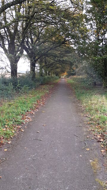
For those looking to explore the wood, there are several well-maintained trails and paths that wind through the forest, offering visitors a chance to immerse themselves in nature. The tranquility and serenity of Firpark Wood make it an ideal location for leisurely walks, picnics, and photography.

Overall, Firpark Wood is a stunning woodland that showcases the beauty of Scotland's natural landscapes. With its diverse range of trees and wildlife, it offers visitors an opportunity to connect with nature and enjoy the peacefulness of the great outdoors.

If you have any feedback on the listing, please let us know in the comments section below.
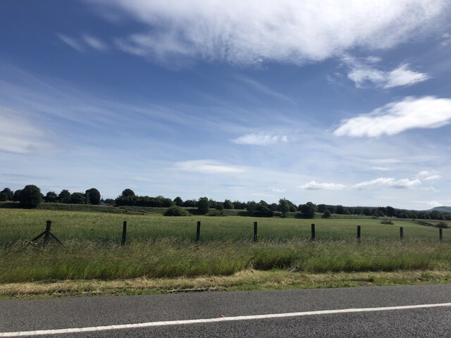
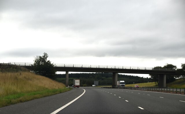
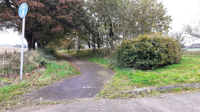
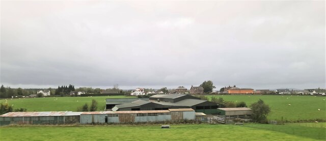
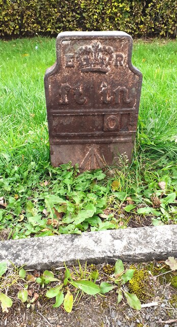
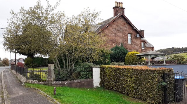
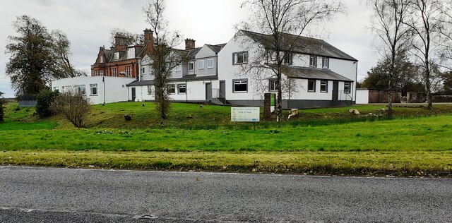
Firpark Wood Images

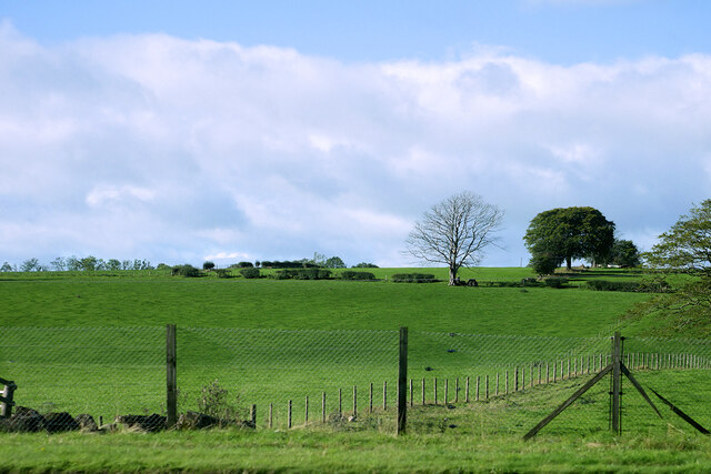
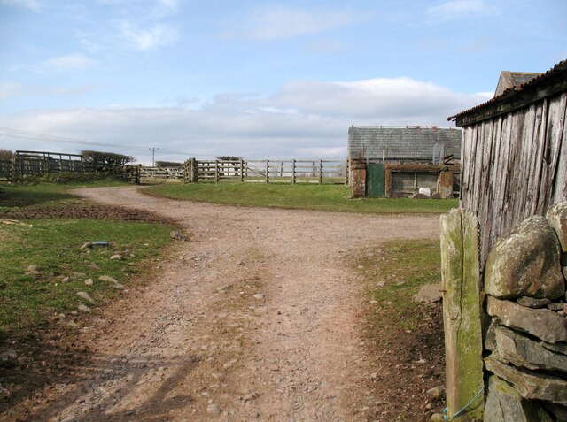
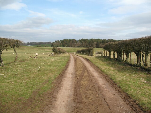
Images are sourced within 2km of 55.096882/-3.3616122 or Grid Reference NY1378. Thanks to Geograph Open Source API. All images are credited.

B7076 crossing A74(M)
Farmland south of Lockerbie
Southfield Southfield is no longer a working farm.
Southfield
Southfield is no longer a working farm.
Southfield farm road This is the vehicular access road to Southfield.
Southfield farm road
This is the vehicular access road to Southfield.
Farmland near Castlemilk
Approaching J18, A74(M) The A74(M) & M74  run over 80 miles from the M6 at the Scottish border near Gretna to the M8 at Glasgow. This is one of the two most important routeways into Scotland from the south. The last stretch of the M74 opened in 2011 (see <a title="https://www.geograph.org.uk/snippet/590" href="https://www.geograph.org.uk/snippet/590">Link</a> ).
Wikipedia: <span class="nowrap"><a title="http://en.wikipedia.org/wiki/A74(M)_and_M74_motorways" rel="nofollow ugc noopener" href="http://en.wikipedia.org/wiki/A74(M)_and_M74_motorways">Link</a><img style="margin-left:2px;" alt="External link" title="External link - shift click to open in new window" src="https://s1.geograph.org.uk/img/external.png" width="10" height="10"/></span>
Approaching J18, A74(M)
The A74(M) & M74 run over 80 miles from the M6 at the Scottish border near Gretna to the M8 at Glasgow. This is one of the two most important routeways into Scotland from the south. The last stretch of the M74 opened in 2011 (see Link ). Wikipedia: LinkExternal link
Footpath/cycleway on NE side of B7076 at junction with track to Langhill
Farm buildings, Lockerbie
Benchmark on roadside wall of #33 Carlisle Road Ordnance Survey rivet benchmark levelled at 80.194m above Newlyn Datum verified 1972
Benchmark on roadside wall of #33 Carlisle Road
Ordnance Survey rivet benchmark levelled at 80.194m above Newlyn Datum verified 1972
#33 Carlisle Road on west side of B723 There is an Ordnance Survey benchmark <a href="https://www.geograph.org.uk/photo/7634502">NY1380 : Benchmark on roadside wall of #33 Carlisle Road</a>  on top of the road end of the boundary wall between the house and Somerton House Hotel (near left hand edge of this image)
#33 Carlisle Road on west side of B723
There is an Ordnance Survey benchmark NY1380 : Benchmark on roadside wall of #33 Carlisle Road on top of the road end of the boundary wall between the house and Somerton House Hotel (near left hand edge of this image)
Benchmark on 'Ashton' Ordnance Survey cut mark benchmark levelled at  78.759m above Newlyn Datum verified 1972
Benchmark on 'Ashton'
Ordnance Survey cut mark benchmark levelled at 78.759m above Newlyn Datum verified 1972
Ashton from south end of Old Annan Road There is an Ordnance Survey benchmark <a href="https://www.geograph.org.uk/photo/7634533">NY1380 : Benchmark on 'Ashton'</a>  on the far side of the house at its front corner
Ashton from south end of Old Annan Road
There is an Ordnance Survey benchmark NY1380 : Benchmark on 'Ashton' on the far side of the house at its front corner
Edward VII GPO cable marker on verge outside #42 Carlisle Road Details of the marker are at <span class="nowrap"><a title="https://gpo-markers.derektp.co.uk/detail?post=507" rel="nofollow ugc noopener" href="https://gpo-markers.derektp.co.uk/detail?post=507">Link</a><img style="margin-left:2px;" alt="External link" title="External link - shift click to open in new window" src="https://s1.geograph.org.uk/img/external.png" width="10" height="10"/></span>
Edward VII GPO cable marker on verge outside #42 Carlisle Road
Details of the marker are at LinkExternal link
#40 Carlisle Road on east side of B723 There is a GPO cable marker <a href="https://www.geograph.org.uk/photo/7635247">NY1380 : Edward VII GPO cable marker on verge outside #42 Carlisle Road</a>  on the grass verge
#40 Carlisle Road on east side of B723
There is a GPO cable marker NY1380 : Edward VII GPO cable marker on verge outside #42 Carlisle Road on the grass verge
Footpath going southeast between B723 and West Coast Main Line railway
The Hirsel on NE side of B723 in Blackford There is a banner for 'Marie Curie Cancer Care / Field of Hope' in front of the building
The Hirsel on NE side of B723 in Blackford
There is a banner for 'Marie Curie Cancer Care / Field of Hope' in front of the building
View across ploughed field and railway to Langhill
House on southwest side of railway at Langhill
Show me another place!

Firpark Wood is located at Grid Ref: NY1378 (Lat: 55.096882, Lng: -3.3616122)

Unitary Authority: Dumfries and Galloway

Police Authority: Dumfries and Galloway

What 3 Words

///lawyer.digests.silks. Near Lockerbie, Dumfries & Galloway

Nearby Locations

Firpark Wood Gill Covert

Related Wikis

Hallmuir Ukrainian Chapel

The Hallmuir Ukrainian Chapel is a chapel built at a Hallmuir prisoner of war camp near Lockerbie in Scotland. After the Second World War, this camp housed...

Pan Am Flight 103

Pan Am Flight 103 (PA103/PAA103) was a regularly scheduled Pan Am transatlantic flight from Frankfurt to Detroit via a stopover in London and another in...

Dryfesdale

Dryfesdale ( DRYFSE-dayl) is a civil parish of the council area of Dumfries and Galloway, Scotland. It is part of the county of Dumfriesshire. == Overview... ==

Lockerbie Town Hall

Lockerbie Town Hall is a municipal building in the High Street in Lockerbie, Dumfries and Galloway, Scotland. The structure, which is used as a venue for...

Nearby Amenities

Located within 500m of 55.096882,-3.3616122
Place Of Worship
Denomination: greek_orthodox
Religion: christian
Lat/Long: 55.0996771/-3.3669888
Power: pole
Lat/Long: 55.0991035/-3.368019
Power: pole
Lat/Long: 55.0991377/-3.3678839
Power: pole
Lat/Long: 55.0941487/-3.3668486
Power: pole
Lat/Long: 55.0942914/-3.367124
Power: pole
Lat/Long: 55.1006026/-3.3631022
Power: pole
Lat/Long: 55.0997727/-3.3637979
Power: pole
Lat/Long: 55.099571/-3.3626768
Power: pole
Lat/Long: 55.0992732/-3.3610791
Power: pole
Lat/Long: 55.09977/-3.364123
Power: pole
Lat/Long: 55.0996373/-3.365259
Power: pole
Lat/Long: 55.0995371/-3.3661091
Power: pole
Lat/Long: 55.0993529/-3.3677345
Power: pole
Lat/Long: 55.0950225/-3.3673146
Power: pole
Lat/Long: 55.0948117/-3.3670313
Power: pole
Lat/Long: 55.095576/-3.3671819
Power: pole
Lat/Long: 55.095948/-3.3674744
Power: pole
Lat/Long: 55.0962659/-3.3673179
Power: pole
Lat/Long: 55.0967802/-3.367618
Power: pole
Lat/Long: 55.0969734/-3.3674573
Power: pole
Lat/Long: 55.0976485/-3.3677679
Power: pole
Lat/Long: 55.0977414/-3.3676087
Power: pole
Lat/Long: 55.0985221/-3.3677626
Power: pole
Lat/Long: 55.0984729/-3.3679102
Power: pole
Lat/Long: 55.0990124/-3.3599448
Power: pole
Lat/Long: 55.0987663/-3.3593369
Power: pole
Lat/Long: 55.0985113/-3.3587547
Power: pole
Lat/Long: 55.0982637/-3.3581983
Power: pole
Lat/Long: 55.0977419/-3.3570005
The data included in this document is from www.openstreetmap.org. The data is made available under ODbL.

Have you been to Firpark Wood?

Leave your review of Firpark Wood below (or comments, questions and feedback).