Well Eyes Plantation

Wood, Forest in Perthshire

Scotland

Well Eyes Plantation

Lane near Fordel The single track alternative to the M90 near Glenfarg.
Lane near Fordel Credit: Richard Webb

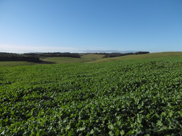
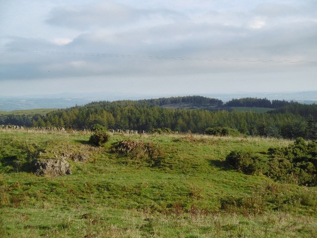
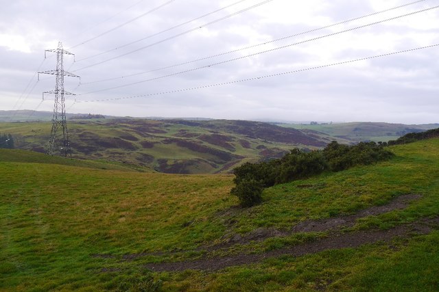
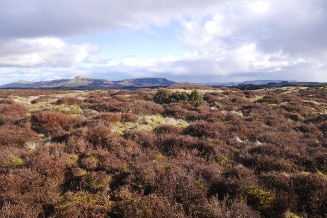
Well Eyes Plantation is a picturesque woodland located in Perthshire, Scotland. Covering an area of approximately 100 hectares, this enchanting forest is known for its breathtaking beauty and rich biodiversity. The plantation is situated near the town of Aberfeldy, offering visitors a tranquil escape from the hustle and bustle of city life.

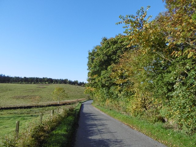
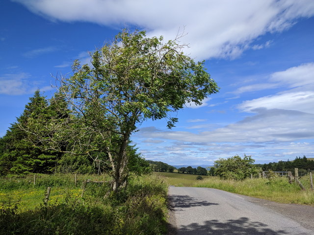
As the name suggests, Well Eyes Plantation is characterized by its well-maintained trails and paths that wind through the lush greenery. The forest is predominantly composed of native tree species, including oak, birch, and pine, creating a diverse and vibrant ecosystem. The dense canopy of trees allows only dappled sunlight to filter through, creating a magical atmosphere that is perfect for nature lovers and photographers alike.

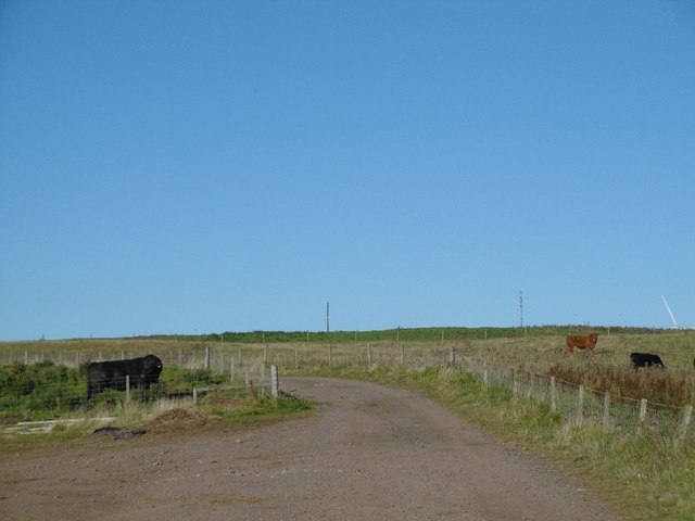
The woodland is home to a wide range of wildlife, including various bird species, mammals, and insects. Visitors may catch a glimpse of red squirrels, roe deer, or even the elusive pine marten. Birdwatchers will be delighted by the opportunity to spot species such as woodpeckers, owls, and numerous woodland songbirds.

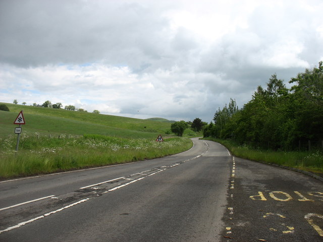
Well Eyes Plantation offers a variety of recreational activities for visitors to enjoy. Walking and hiking trails crisscross the forest, providing opportunities for both leisurely strolls and more challenging treks. The plantation also boasts picnic areas, allowing visitors to relax and appreciate the natural surroundings.

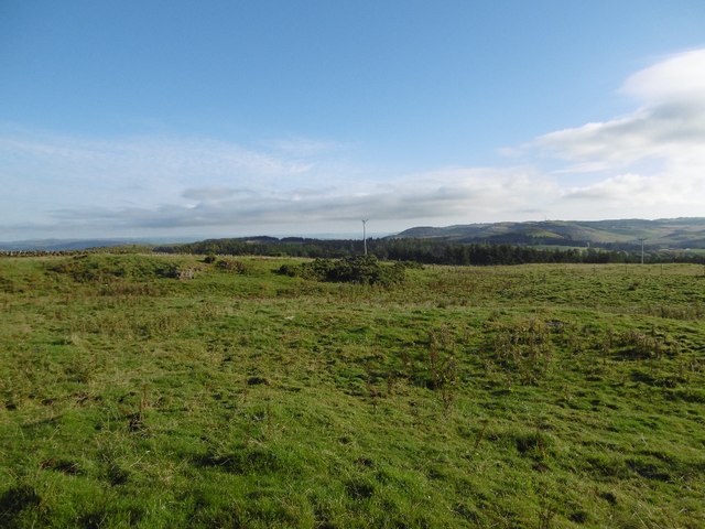
In conclusion, Well Eyes Plantation in Perthshire is a captivating woodland that offers a sanctuary for both nature enthusiasts and those seeking a peaceful retreat. With its stunning scenery, diverse wildlife, and recreational activities, this forest is a must-visit destination for anyone looking to immerse themselves in the beauty of Scotland's natural landscape.

If you have any feedback on the listing, please let us know in the comments section below.

Well Eyes Plantation Images

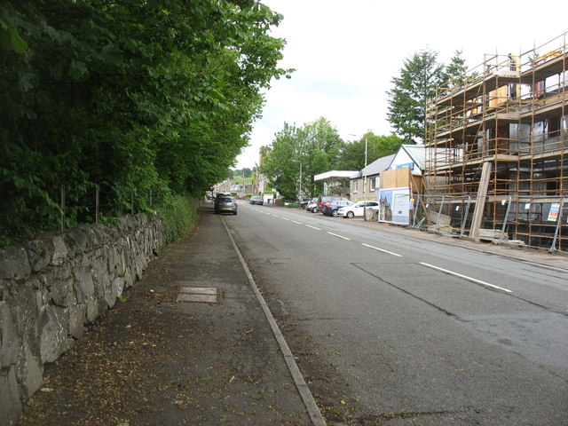
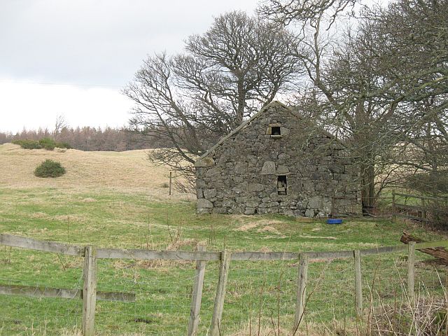
Images are sourced within 2km of 56.28705/-3.4017556 or Grid Reference NO1311. Thanks to Geograph Open Source API. All images are credited.

Lane near Fordel The single track alternative to the M90 near Glenfarg.
Lane near Fordel
The single track alternative to the M90 near Glenfarg.
Wind farm road, Lochelbank As is usual practice, a road has been built by the wind farm constructors around the farm. The Aberdeen Angus bull was rather keen to cross it.
Wind farm road, Lochelbank
As is usual practice, a road has been built by the wind farm constructors around the farm. The Aberdeen Angus bull was rather keen to cross it.
Turnips, Lochelbank
Turnips, Lochelbank
Field, Lochelbank Lumpy ground on the Ochil Hills igneous rock.
Field, Lochelbank
Lumpy ground on the Ochil Hills igneous rock.
Basalt outcrop, Lochelbank The ground looks quarried here.
Basalt outcrop, Lochelbank
The ground looks quarried here.
Wind farm roads, Lochelbank An older wind farm with relatively inoffensive turbines, much smaller than those usually built today.
Wind farm roads, Lochelbank
An older wind farm with relatively inoffensive turbines, much smaller than those usually built today.
Loch Wirr One of the small lochs in this part of the Ochil Hills.
Loch Wirr
One of the small lochs in this part of the Ochil Hills.
Ladeside and Church Brae, Glenfarg View from outside the village shop.
Ladeside and Church Brae, Glenfarg
View from outside the village shop.
Ladeside, Glenfarg
Ladeside, Glenfarg
Perth & Kinross : The M90 Motorway Heading north through Scotland on the M90.
Perth & Kinross : The M90 Motorway
Heading north through Scotland on the M90.
Bridge over the M90 near Glenfarg
Power line, Glen Farg The reservoir is hidden in the deep glen.
Power line, Glen Farg
The reservoir is hidden in the deep glen.
Farm track with warning about protective clothing
Tree by the side of the lane
Bridge over M90 at Glenfarg
The B996 north of Glenfarg This once busy road has become much quieter since the opening of the M90 which is in a cutting below the trees on the right.

In the middle of June, I did not need to worry too much about the warning of 'Ice' on the sign to the left.
The B996 north of Glenfarg
This once busy road has become much quieter since the opening of the M90 which is in a cutting below the trees on the right. In the middle of June, I did not need to worry too much about the warning of 'Ice' on the sign to the left.
The B996 through Glenfarg At one time this road must have been very busy, but the opening of the M90 (in a cutting to the left of this photo) means that it now carries just local traffic.

The development on the right is, I think, for a set of retirement apartments.
The B996 through Glenfarg
At one time this road must have been very busy, but the opening of the M90 (in a cutting to the left of this photo) means that it now carries just local traffic. The development on the right is, I think, for a set of retirement apartments.
Cloven Craig summit The moorland stands out amongst the predominantly grassy landscape of the Ochil Hills.
Cloven Craig summit
The moorland stands out amongst the predominantly grassy landscape of the Ochil Hills.
Show me another place!

Well Eyes Plantation is located at Grid Ref: NO1311 (Lat: 56.28705, Lng: -3.4017556)

Unitary Authority: Perth and Kinross

Police Authority: Tayside

What 3 Words

///emptied.bucked.tint. Near Bridge of Earn, Perth & Kinross

Related Wikis

Glenfarg railway station

Glenfarg railway station served the village of Glenfarg, Perth and Kinross, Scotland, from 1890 to 1964, on the Glenfarg Line. == History == The station...

Glenfarg

Glenfarg (Scottish Gaelic: Gleann Fairg) is a village in the Ochil Hills in Perth and Kinross, Scotland. Until 14 June 1964, the village had a railway...

Abbots Deuglie

Abbots Deuglie () is a hamlet in Perth and Kinross, Scotland. It is located in the Ochil Hills, in Arngask parish, about one mile (1.5 km) west of Glenfarg...

Duncrievie

Duncrievie () is a village in Perth and Kinross, Scotland. It lies approximately 6 miles (10 kilometres) north of Kinross, to the west of the M90 motorway...

Nearby Amenities

Located within 500m of 56.28705,-3.4017556
Bus Bay: left
Lat/Long: 56.2876796/-3.3949229
Bus Stop
Bench: yes
Bin: no
Naptan AtcoCode: 64803045
Naptan NaptanCode: 73726274
Shelter: yes
Tactile Paving: no
Lat/Long: 56.2877296/-3.3950114
Bus Stop
Bench: no
Bin: no
Lit: yes
Naptan AtcoCode: 64803044
Naptan NaptanCode: 73726273
Shelter: no
Tactile Paving: no
Lat/Long: 56.2836682/-3.3968246
Bus Stop
Bench: no
Bin: no
Lit: yes
Naptan AtcoCode: 64804249
Naptan NaptanCode: 73727529
Shelter: no
Tactile Paving: no
Lat/Long: 56.2836764/-3.3969131
Power: pole
Lat/Long: 56.2827187/-3.4002983
Power: pole
Lat/Long: 56.2830069/-3.3998511
Power: pole
Lat/Long: 56.2896159/-3.3957562
Power: pole
Lat/Long: 56.2889348/-3.395473
Power: pole
Lat/Long: 56.2884783/-3.3956505
Power: pole
Lat/Long: 56.2880205/-3.3958281
Power: pole
Lat/Long: 56.2873294/-3.3961
Power: pole
Lat/Long: 56.2867132/-3.3963472
Power: pole
Lat/Long: 56.2860994/-3.3965832
Power: pole
Lat/Long: 56.2855019/-3.3968147
Power: pole
Lat/Long: 56.2904541/-3.3968237
Material: wood
Power: pole
Lat/Long: 56.2846624/-3.3951168
The data included in this document is from www.openstreetmap.org. The data is made available under ODbL.

Have you been to Well Eyes Plantation?

Leave your review of Well Eyes Plantation below (or comments, questions and feedback).