Edge Plantation
Wood, Forest in Dumfriesshire
Scotland
Edge Plantation
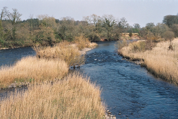
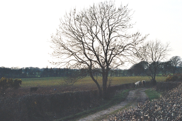
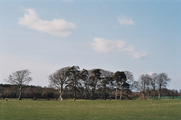
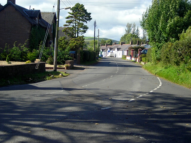
Edge Plantation is a picturesque woodland situated in Dumfriesshire, Scotland. Covering an area of approximately 500 acres, the plantation is renowned for its stunning natural beauty and diverse range of flora and fauna.
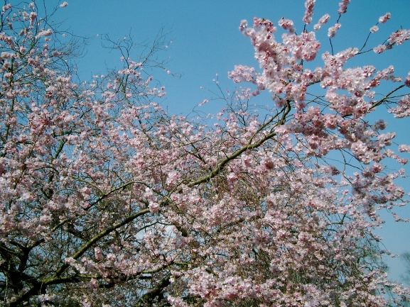
The woodland comprises a mix of mature trees, including oak, beech, and birch, which provide a lush canopy and create a tranquil atmosphere. The forest floor is adorned with a rich carpet of mosses, ferns, and wildflowers, further enhancing its enchanting appeal.
Edge Plantation is not only a haven for nature lovers but also serves as an important habitat for various wildlife species. It is home to an abundance of bird species, such as woodpeckers, owls, and songbirds, which can be heard chirping and singing throughout the day. Other inhabitants of the woodland include red squirrels, badgers, and deer, making it a perfect spot for wildlife enthusiasts.
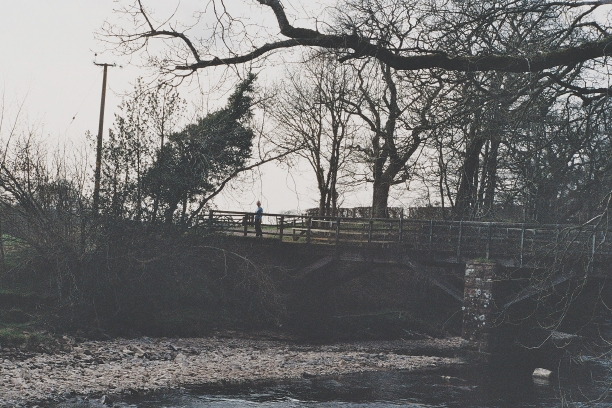
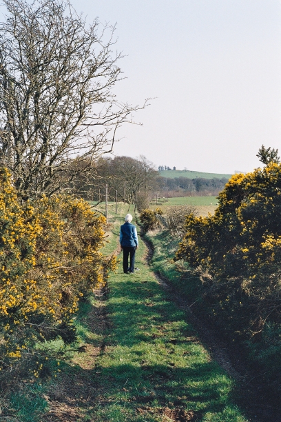
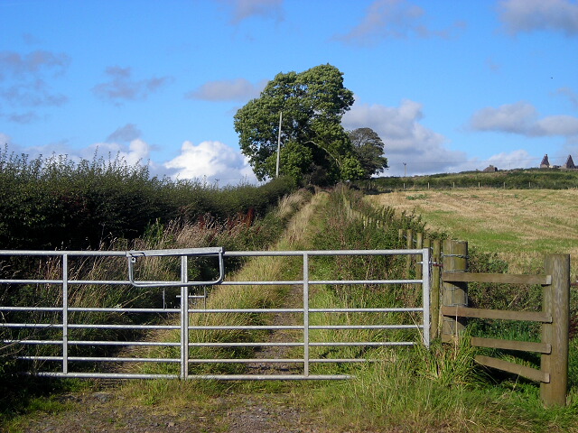
Visitors to Edge Plantation can explore its numerous walking trails, allowing them to immerse themselves in the tranquility of the woodland. The trails wind through the trees, offering breathtaking vistas and opportunities for birdwatching and photography.
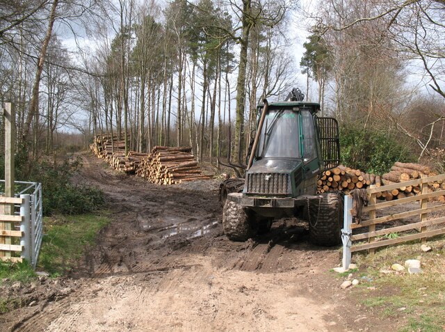
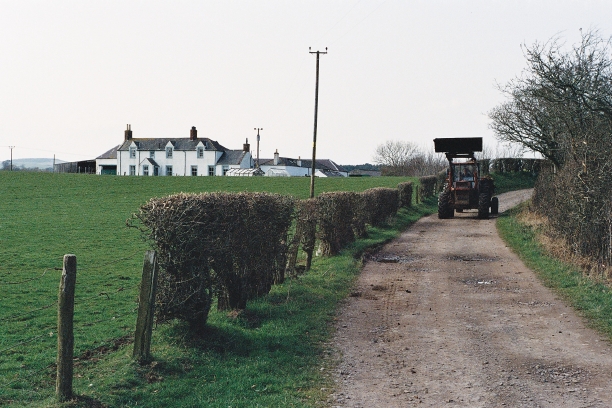
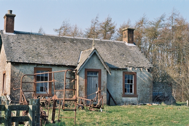
In addition to its natural beauty, Edge Plantation also boasts a rich history. The woodland has been managed sustainably for centuries, with evidence of human activity dating back to the medieval period. It has served various purposes over the years, including timber production and recreational activities.
Overall, Edge Plantation in Dumfriesshire is a captivating woodland that offers a serene escape for nature enthusiasts, with its diverse ecosystem, scenic trails, and rich cultural heritage.
If you have any feedback on the listing, please let us know in the comments section below.
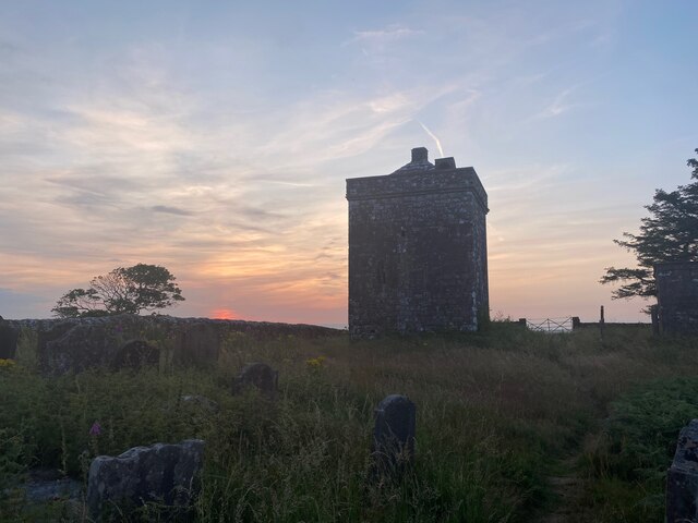
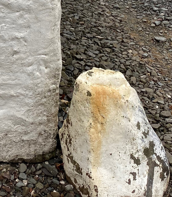
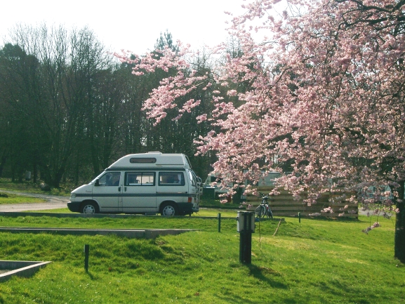
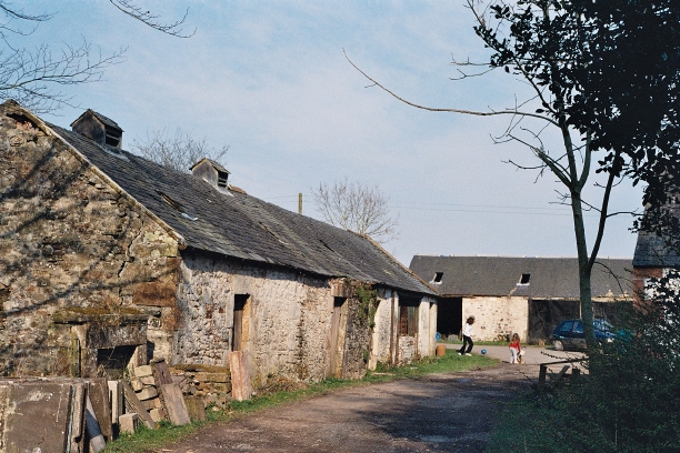
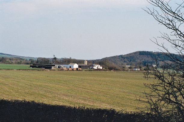
Edge Plantation Images
Images are sourced within 2km of 55.042503/-3.3502355 or Grid Reference NY1372. Thanks to Geograph Open Source API. All images are credited.


Edge Plantation is located at Grid Ref: NY1372 (Lat: 55.042503, Lng: -3.3502355)
Unitary Authority: Dumfries and Galloway
Police Authority: Dumfries and Galloway
What 3 Words
///townhouse.clasping.wiggles. Near Annan, Dumfries & Galloway
Nearby Locations
Related Wikis
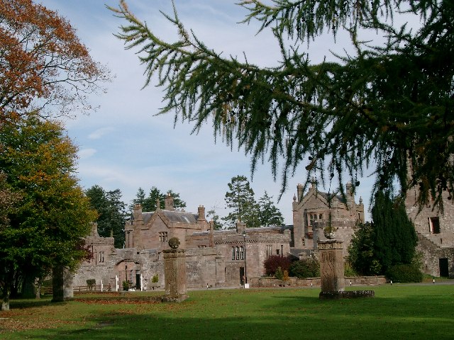
Hoddom Castle
Hoddom Castle is a large tower house in Dumfries and Galloway, south Scotland. It is located by the River Annan, 4 kilometres (2.5 mi) south-west of Ecclefechan...

Hoddom
Hoddom is a small settlement and civil parish in Dumfries and Galloway, Scotland, dating back to the 8th century. == Location == Hoddom is 13 miles by...
Dalton, Dumfries and Galloway
The village of Dalton is a small settlement about 10 miles (16 km) southeast of Dumfries and 4 miles (6.4 km) south of Lockerbie, in Dumfries and Galloway...

Carrutherstown
Carrutherstown is a village in the civil parish of Dalton, in Dumfries and Galloway, Scotland. It is about 9 miles (14 km) east of Dumfries. == Demographics... ==
Nearby Amenities
Located within 500m of 55.042503,-3.3502355Have you been to Edge Plantation?
Leave your review of Edge Plantation below (or comments, questions and feedback).