Square Wood
Wood, Forest in Dumfriesshire
Scotland
Square Wood

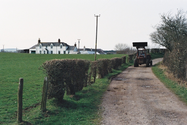
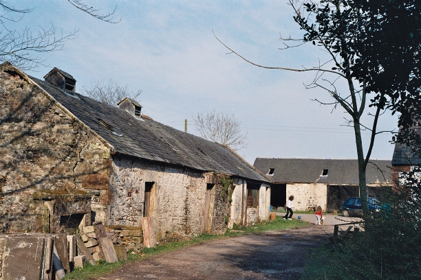
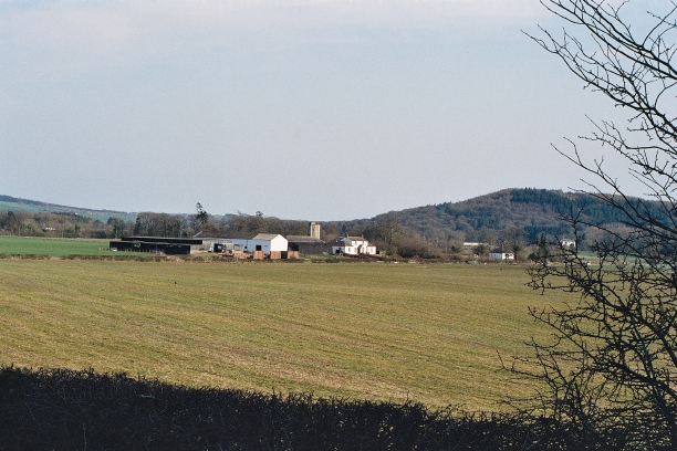
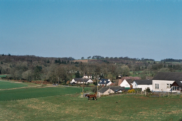
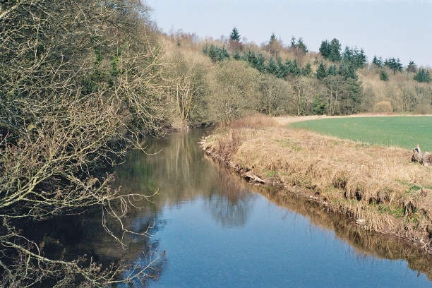
Square Wood is a forested area located in the Dumfriesshire region of Scotland. Spanning approximately 200 acres, it is renowned for its natural beauty and diverse ecosystem. The wood is situated near the village of Wood, offering easy access for both locals and tourists.
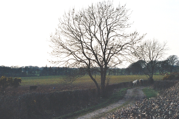
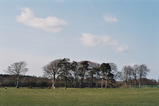
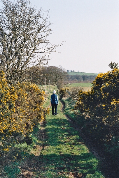
As its name suggests, Square Wood is characterized by its distinct shape, with well-defined boundaries that enclose the entire area. The forest primarily consists of a mix of deciduous and coniferous trees, including oak, beech, pine, and birch. These trees provide a habitat for a wide range of wildlife, such as deer, foxes, badgers, and a variety of bird species.
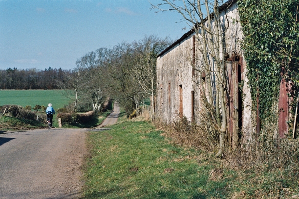
The wood features several walking trails, allowing visitors to explore its enchanting surroundings. The trails wind through the dense foliage, offering picturesque views of the forest and its flora and fauna. Additionally, there are designated picnic areas and benches scattered throughout the wood, providing visitors with the perfect opportunity to relax and enjoy the tranquil ambiance.
Square Wood is also a popular spot for nature enthusiasts and photographers, who can capture stunning images of the changing seasons and the vibrant colors of the forest. The wood is particularly captivating during autumn, when the foliage turns into a vibrant tapestry of reds, yellows, and oranges.
Overall, Square Wood in Dumfriesshire is a haven for nature lovers, offering a serene escape from the hustle and bustle of everyday life. Its diverse ecosystem, scenic trails, and tranquil atmosphere make it an idyllic destination for those seeking a peaceful retreat in the heart of nature.
If you have any feedback on the listing, please let us know in the comments section below.
Square Wood Images
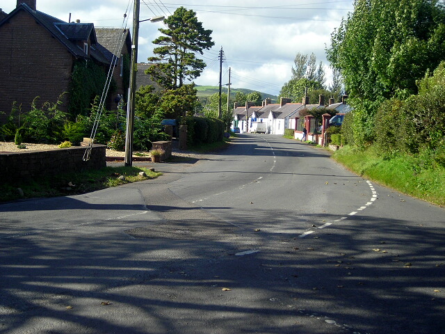
Images are sourced within 2km of 55.057579/-3.3506021 or Grid Reference NY1374. Thanks to Geograph Open Source API. All images are credited.


Square Wood is located at Grid Ref: NY1374 (Lat: 55.057579, Lng: -3.3506021)
Unitary Authority: Dumfries and Galloway
Police Authority: Dumfries and Galloway
What 3 Words
///worry.pages.hires. Near Lockerbie, Dumfries & Galloway
Nearby Locations
Related Wikis
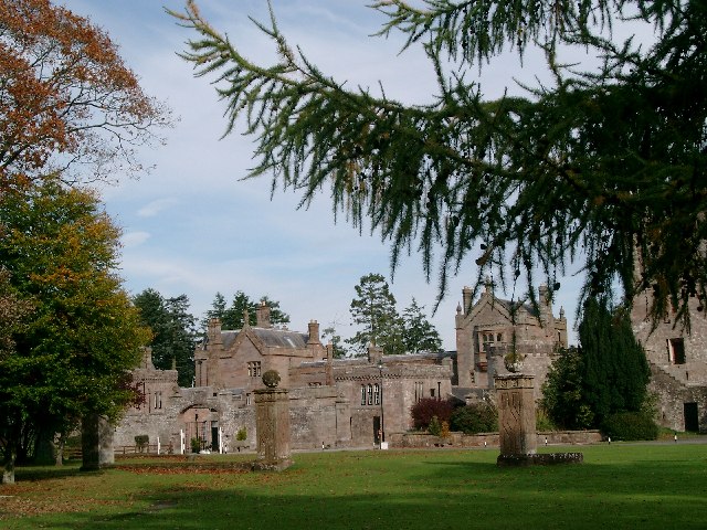
Hoddom Castle
Hoddom Castle is a large tower house in Dumfries and Galloway, south Scotland. It is located by the River Annan, 4 kilometres (2.5 mi) south-west of Ecclefechan...
Dalton, Dumfries and Galloway
The village of Dalton is a small settlement about 10 miles (16 km) southeast of Dumfries and 4 miles (6.4 km) south of Lockerbie, in Dumfries and Galloway...

Hoddom
Hoddom is a small settlement and civil parish in Dumfries and Galloway, Scotland, dating back to the 8th century. == Location == Hoddom is 13 miles by...

Ecclefechan railway station
Ecclefechan railway station was a station which served the rural area around Ecclefechan, south of Lockerbie in Applegarth parish, Scottish county of Dumfries...
Nearby Amenities
Located within 500m of 55.057579,-3.3506021Have you been to Square Wood?
Leave your review of Square Wood below (or comments, questions and feedback).