North Wood

Wood, Forest in Perthshire

Scotland

North Wood

Little Fildie A ruin overlooking the M90.
Little Fildie Credit: Richard Webb

North Wood is a picturesque forest located in Perthshire, Scotland. Spanning over a vast area, the wood is known for its natural beauty and diverse wildlife. It is situated in close proximity to the village of Ballinluig and is easily accessible by both car and foot.

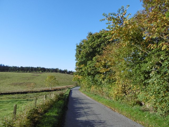
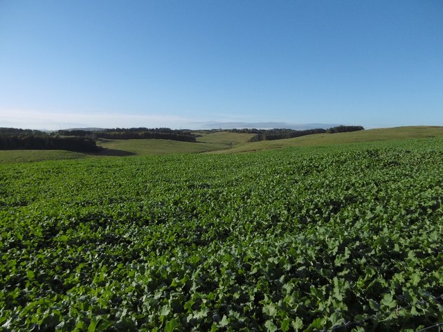
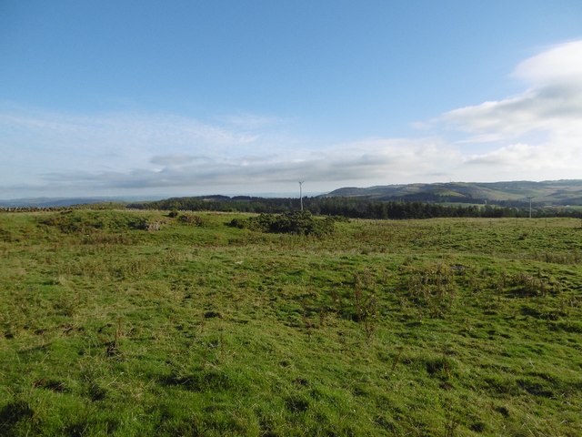
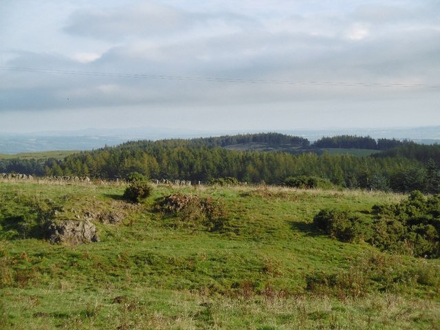
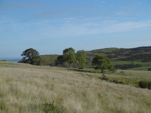
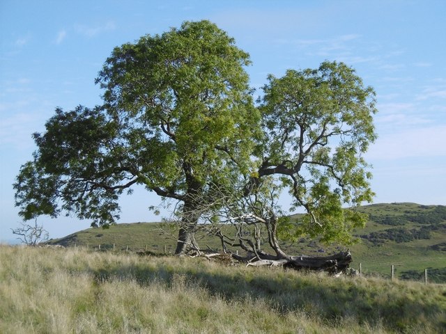
The wood is characterized by its dense canopy of towering trees, predominantly consisting of native species such as oak, birch, and pine. These trees create a serene and tranquil atmosphere, making it a popular destination for nature lovers and hikers. The forest floor is adorned with a rich carpet of mosses, ferns, and wildflowers, adding to the enchanting ambiance.

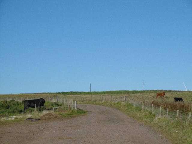
North Wood is home to a wide variety of wildlife, including several bird species such as woodpeckers, owls, and pheasants. Roe deer, red squirrels, and badgers are also commonly spotted within the forest. Birdwatchers and wildlife enthusiasts can enjoy observing and capturing these creatures in their natural habitat.

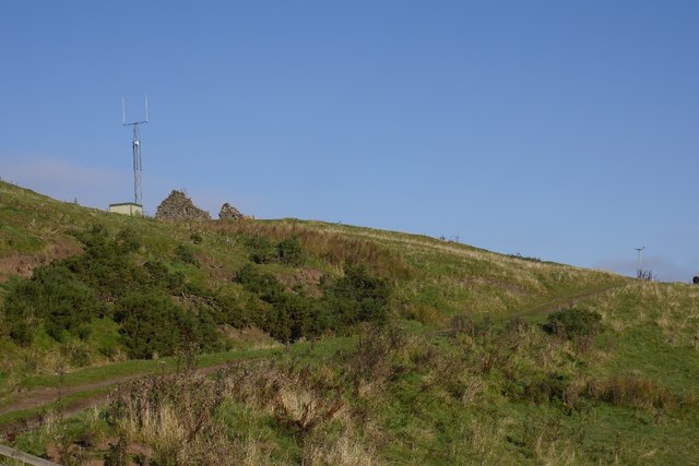
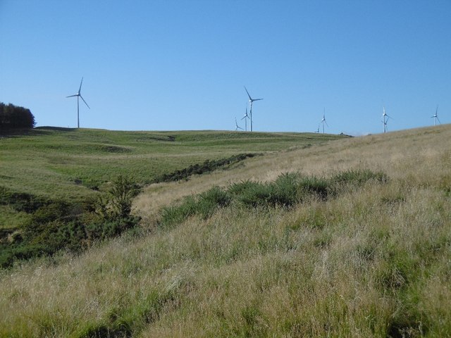
The wood is crisscrossed by a network of well-maintained trails, allowing visitors to explore its many hidden gems. These paths offer stunning views of the surrounding countryside, including rolling hills and meandering streams. For those seeking a more immersive experience, camping facilities are available, providing an opportunity to spend a night under the starry sky.

North Wood is not only a haven for nature enthusiasts but also serves as an important ecological site. Its conservation efforts ensure the preservation of its unique flora and fauna, making it an invaluable asset to the region.

If you have any feedback on the listing, please let us know in the comments section below.
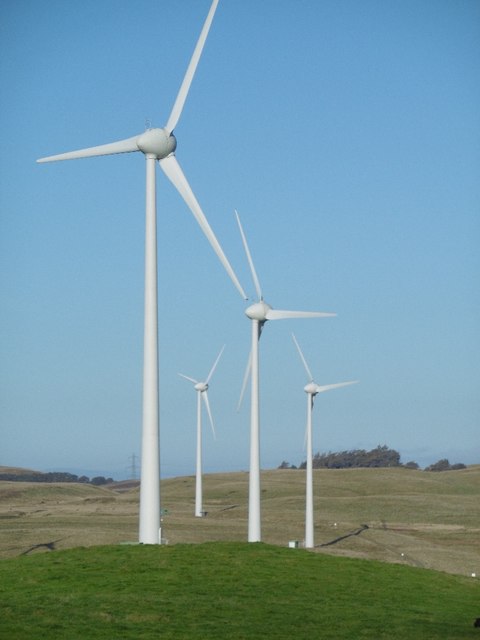
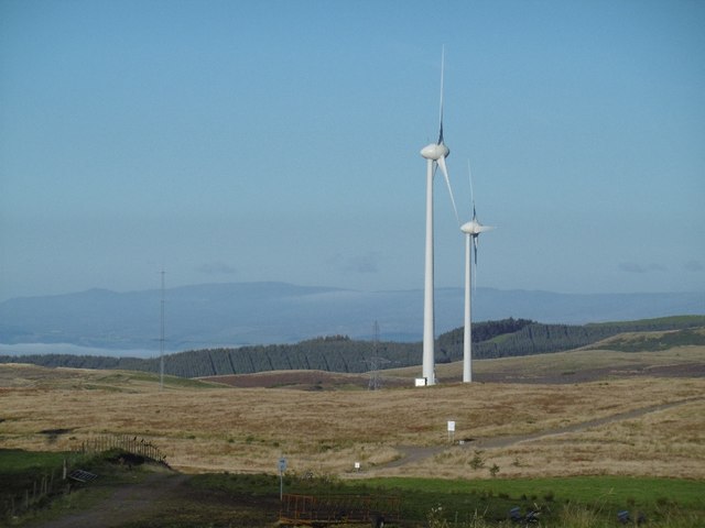
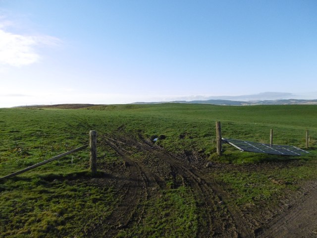
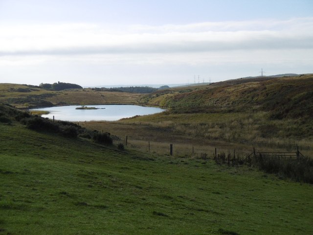
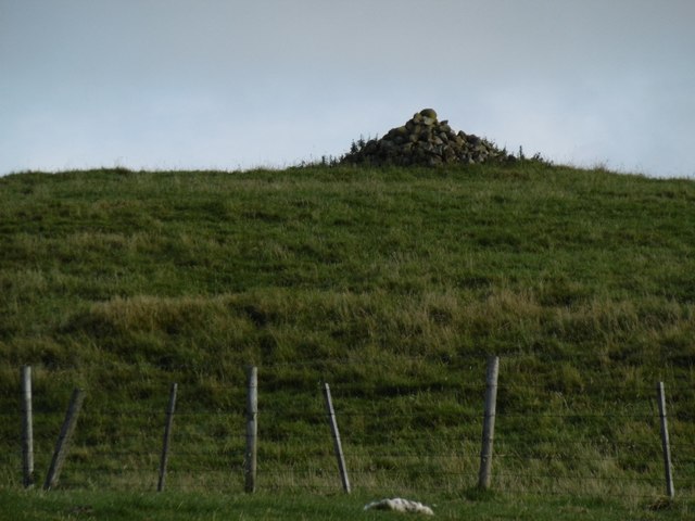
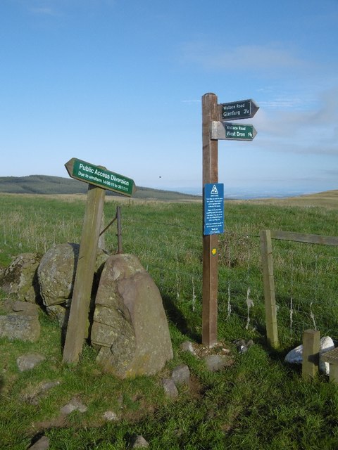
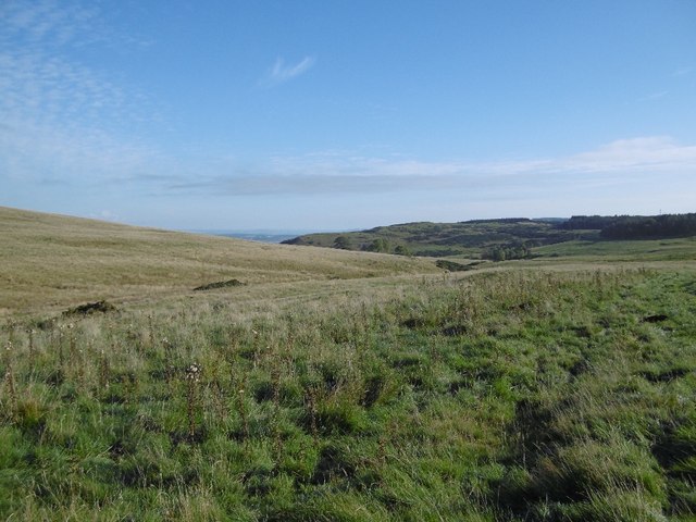
North Wood Images

Images are sourced within 2km of 56.295633/-3.4063197 or Grid Reference NO1312. Thanks to Geograph Open Source API. All images are credited.

Little Fildie A ruin overlooking the M90.
Little Fildie
A ruin overlooking the M90.
Lane near Fordel The single track alternative to the M90 near Glenfarg.
Lane near Fordel
The single track alternative to the M90 near Glenfarg.
Wind farm road, Lochelbank As is usual practice, a road has been built by the wind farm constructors around the farm. The Aberdeen Angus bull was rather keen to cross it.
Wind farm road, Lochelbank
As is usual practice, a road has been built by the wind farm constructors around the farm. The Aberdeen Angus bull was rather keen to cross it.
Turnips, Lochelbank
Turnips, Lochelbank
Field, Lochelbank Lumpy ground on the Ochil Hills igneous rock.
Field, Lochelbank
Lumpy ground on the Ochil Hills igneous rock.
Basalt outcrop, Lochelbank The ground looks quarried here.
Basalt outcrop, Lochelbank
The ground looks quarried here.
Wind farm roads, Lochelbank An older wind farm with relatively inoffensive turbines, much smaller than those usually built today.
Wind farm roads, Lochelbank
An older wind farm with relatively inoffensive turbines, much smaller than those usually built today.
Cattle, Lochelbank The road serves the wind farm.
Cattle, Lochelbank
The road serves the wind farm.
Turbines, Lochelbank By today's standards these are small turbines and relatively well hidden in views.
Turbines, Lochelbank
By today's standards these are small turbines and relatively well hidden in views.
Lochelbank wind farm A pair of turbines and now shrunken forestry plantation.
Lochelbank wind farm
A pair of turbines and now shrunken forestry plantation.
Field, Lochelbank Sometimes you can look in other directions from the wind turbines.
Field, Lochelbank
Sometimes you can look in other directions from the wind turbines.
Loch Wirr One of the small lochs in this part of the Ochil Hills.
Loch Wirr
One of the small lochs in this part of the Ochil Hills.
Cairn Geddes Possible Bronze Age site - a stone coffin was once found here, (glenfarg.org).
Cairn Geddes
Possible Bronze Age site - a stone coffin was once found here, (glenfarg.org).
Signpost, Wallace Road The diversion sign dates the building of the wind farm to 2011.
Signpost, Wallace Road
The diversion sign dates the building of the wind farm to 2011.
The Dron Burn Grassy uplands in the Ochil Hills you pass by on the M90.
The Dron Burn
Grassy uplands in the Ochil Hills you pass by on the M90.
On Dron Hill Ochils grassland.
On Dron Hill
Ochils grassland.
Ash tree, Dron Hill A boundary between rough grazing and an arable field.
Ash tree, Dron Hill
A boundary between rough grazing and an arable field.
The Dron Burn View upstream towards the wind farm.
The Dron Burn
View upstream towards the wind farm.
Show me another place!

North Wood is located at Grid Ref: NO1312 (Lat: 56.295633, Lng: -3.4063197)

Unitary Authority: Perth and Kinross

Police Authority: Tayside

What 3 Words

///aquatic.relocated.kindness. Near Bridge of Earn, Perth & Kinross

Related Wikis

Abbots Deuglie

Abbots Deuglie () is a hamlet in Perth and Kinross, Scotland. It is located in the Ochil Hills, in Arngask parish, about one mile (1.5 km) west of Glenfarg...

Glenfarg railway station

Glenfarg railway station served the village of Glenfarg, Perth and Kinross, Scotland, from 1890 to 1964, on the Glenfarg Line. == History == The station...

Glenfarg

Glenfarg (Scottish Gaelic: Gleann Fairg) is a village in the Ochil Hills in Perth and Kinross, Scotland. Until 14 June 1964, the village had a railway...

Bein Inn

The Bein Inn (commonly known as the Famous Bein Inn) is an historic building in Glenfarg, Perth and Kinross, Scotland. A "noted hostelry," according to...

Nearby Amenities

Located within 500m of 56.295633,-3.4063197
Power: pole
Lat/Long: 56.2986446/-3.4003437
Power: pole
Lat/Long: 56.2944527/-3.4063058
Power: pole
Lat/Long: 56.2947994/-3.4059664
Power: pole
Lat/Long: 56.2953058/-3.4055012
Power: pole
Lat/Long: 56.2957622/-3.405063
Power: pole
Lat/Long: 56.2962611/-3.4045842
Power: pole
Lat/Long: 56.2966377/-3.4042449
Power: pole
Lat/Long: 56.2970006/-3.40391
Power: pole
Lat/Long: 56.2976978/-3.4032537
Power: pole
Lat/Long: 56.2981667/-3.402793
Power: pole
Lat/Long: 56.2986443/-3.4023503
Power: pole
Lat/Long: 56.2984572/-3.4018221
Power: pole
Lat/Long: 56.2956974/-3.4036043
Power: pole
Lat/Long: 56.2951661/-3.4027301
Power: pole
Lat/Long: 56.2947109/-3.4019412
Power: pole
Lat/Long: 56.2942569/-3.4011861
Power: pole
Lat/Long: 56.2937992/-3.4004264
Power: pole
Lat/Long: 56.2934138/-3.3997657
The data included in this document is from www.openstreetmap.org. The data is made available under ODbL.

Have you been to North Wood?

Leave your review of North Wood below (or comments, questions and feedback).