Fordel
Settlement in Perthshire
Scotland
Fordel
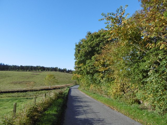
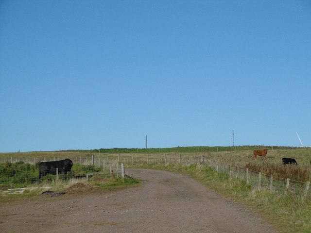
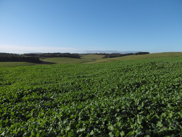
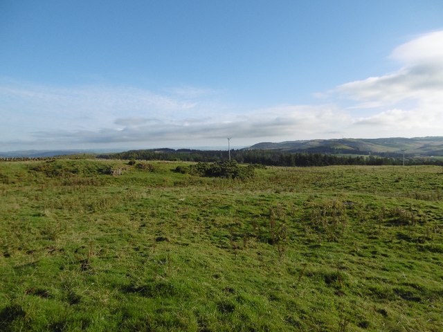
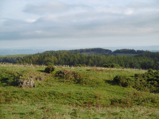
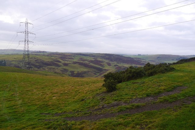
Fordel is a small village located in the county of Perthshire, Scotland. Situated approximately 8 miles northeast of Perth, Fordel is nestled in a picturesque rural setting characterized by rolling hills and lush green landscapes. The village is encompassed by the beautiful scenery of the surrounding countryside, offering residents and visitors alike a tranquil and idyllic environment.
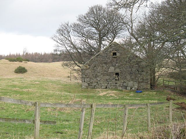
Fordel is known for its rich history, dating back to ancient times. The village is home to Fordel Castle, a historic fortress that dates back to the 14th century and has been remarkably preserved. The castle stands as a testament to the village's past and offers a glimpse into Scotland's medieval heritage.
Despite its small size, Fordel boasts a strong sense of community and a welcoming atmosphere. The locals are friendly and take great pride in their village, which is evident in the well-maintained houses and gardens that line the streets. There is a sense of tranquility that permeates the village, making it an ideal destination for those seeking a peaceful retreat.
While Fordel may be a secluded village, it is conveniently located within close proximity to several amenities. The nearby town of Perth offers a range of shops, restaurants, and recreational facilities, ensuring that residents have easy access to all the necessary amenities.
In conclusion, Fordel is a charming and historic village in Perthshire, Scotland, known for its beautiful scenery, rich history, and strong sense of community. It provides a peaceful retreat for those seeking a tranquil environment while still being close to essential amenities.
If you have any feedback on the listing, please let us know in the comments section below.
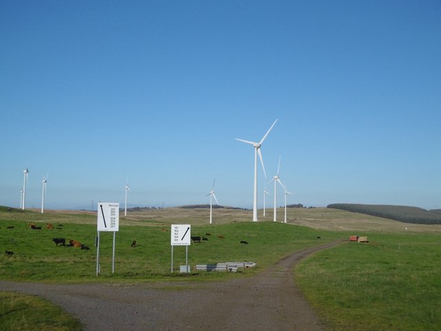
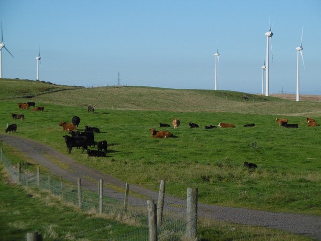
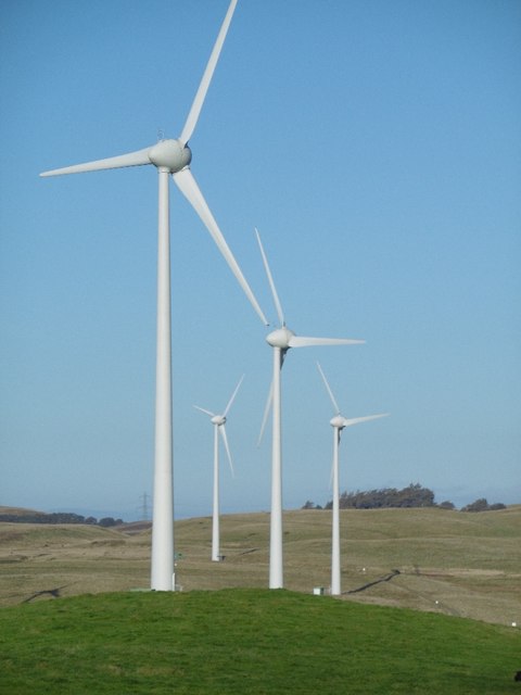
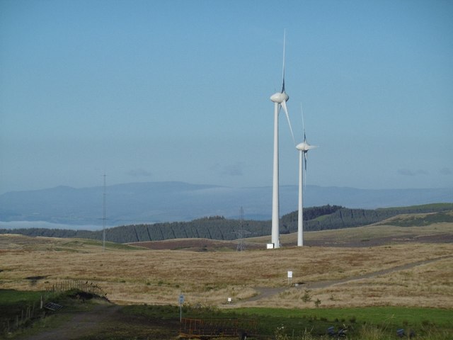
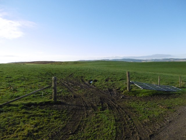
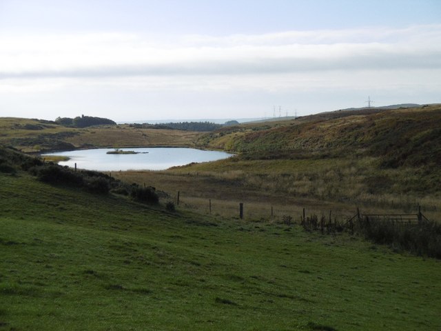
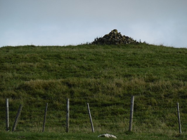
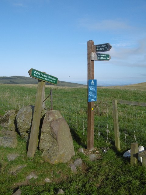
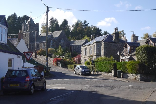
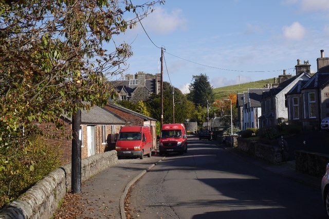
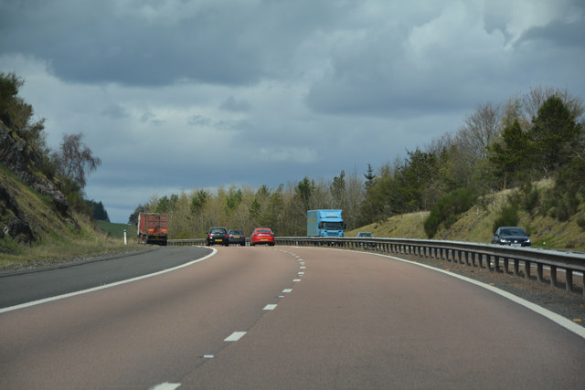
Fordel Images
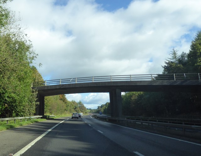
Images are sourced within 2km of 56.292433/-3.4071877 or Grid Reference NO1312. Thanks to Geograph Open Source API. All images are credited.
Fordel is located at Grid Ref: NO1312 (Lat: 56.292433, Lng: -3.4071877)
Unitary Authority: Perth and Kinross
Police Authority: Tayside
What 3 Words
///axed.exclusive.tunnel. Near Bridge of Earn, Perth & Kinross
Nearby Locations
Related Wikis
Abbots Deuglie
Abbots Deuglie () is a hamlet in Perth and Kinross, Scotland. It is located in the Ochil Hills, in Arngask parish, about one mile (1.5 km) west of Glenfarg...

Glenfarg railway station
Glenfarg railway station served the village of Glenfarg, Perth and Kinross, Scotland, from 1890 to 1964, on the Glenfarg Line. == History == The station...

Glenfarg
Glenfarg (Scottish Gaelic: Gleann Fairg) is a village in the Ochil Hills in Perth and Kinross, Scotland. Until 14 June 1964, the village had a railway...

Duncrievie
Duncrievie () is a village in Perth and Kinross, Scotland. It lies approximately 6 miles (10 kilometres) north of Kinross, to the west of the M90 motorway...

Bein Inn
The Bein Inn (commonly known as the Famous Bein Inn) is an historic building in Glenfarg, Perth and Kinross, Scotland. A "noted hostelry," according to...

Balvaird Castle
Balvaird Castle in Perthshire is a traditional late medieval Scottish tower house. It is located in the Ochil Hills, around 5 kilometres (3.1 mi) south...

Kinross-shire
The County of Kinross or Kinross-shire is a historic county and registration county in eastern Scotland, administered as part of Perth and Kinross since...
Fothriff
Fothriff or Fothrif was a province of Scotland in the Middle Ages. It is often paired with Fife, not only in De Situ Albanie, but also in early charters...
Nearby Amenities
Located within 500m of 56.292433,-3.4071877Have you been to Fordel?
Leave your review of Fordel below (or comments, questions and feedback).