Sam's Wood
Wood, Forest in Perthshire
Scotland
Sam's Wood
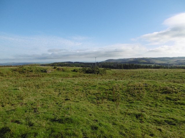
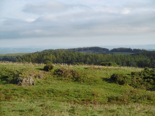
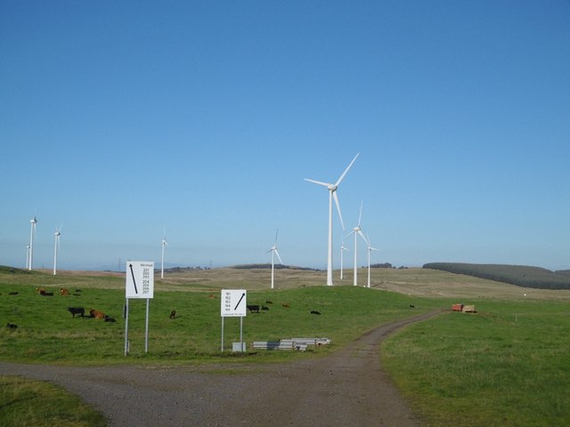
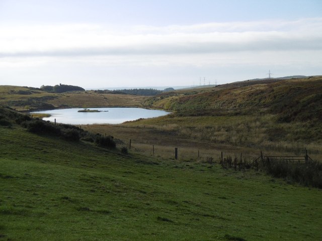
Sam's Wood is a picturesque woodland area located in Perthshire, Scotland. Covering an area of approximately 100 acres, it is known for its breathtaking natural beauty and tranquil atmosphere. The wood is nestled within the stunning Perthshire countryside, offering visitors a peaceful escape from the hustle and bustle of everyday life.
The woodland is predominantly composed of native tree species such as oak, birch, and pine, creating a diverse and enchanting landscape. The dense canopy of trees provides a shaded and cool environment, even on hot summer days. Walking through the wood, visitors can enjoy the soothing sounds of birds singing and the gentle rustling of leaves in the breeze.
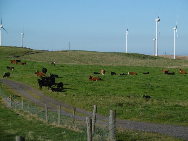
Sam's Wood is a haven for wildlife, with numerous species calling it home. It is not uncommon to spot roe deer, squirrels, and various bird species such as woodpeckers and owls. The wood also boasts a rich variety of plant life, including wildflowers, ferns, and mosses, adding to its natural charm.
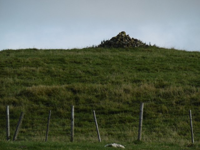
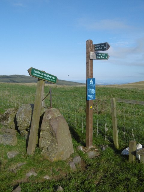
The wood is open to the public throughout the year, allowing visitors to explore its many trails and pathways. These paths are well-maintained, making it accessible for people of all ages and fitness levels. Whether it's a leisurely stroll or a more challenging hike, there are options to suit everyone's preferences.
Overall, Sam's Wood is a hidden gem in Perthshire, offering visitors the chance to immerse themselves in the stunning Scottish countryside. With its diverse flora and fauna, peaceful ambiance, and well-maintained trails, it is a must-visit destination for nature lovers and those seeking a peaceful retreat.
If you have any feedback on the listing, please let us know in the comments section below.
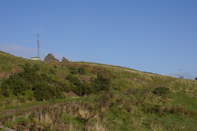
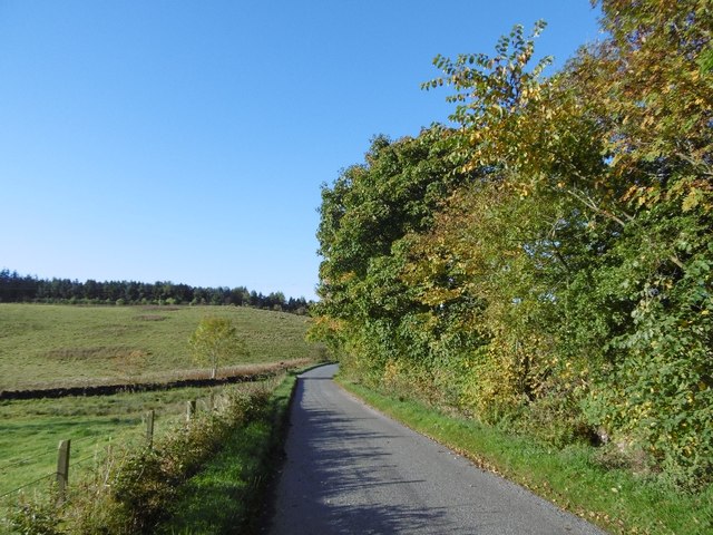
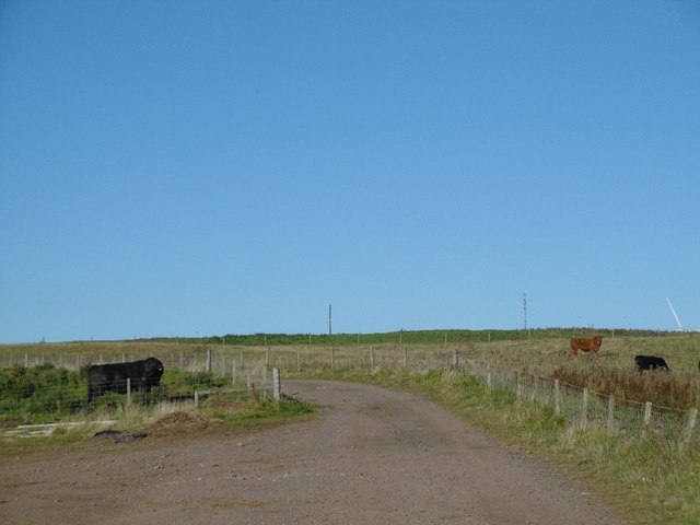
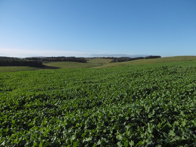
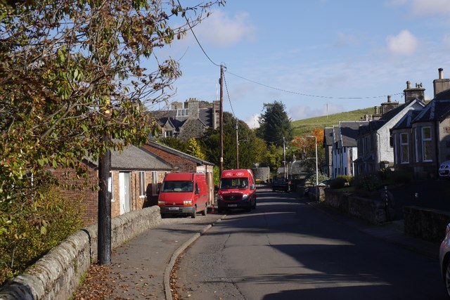
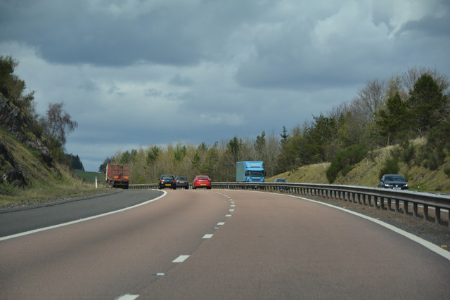
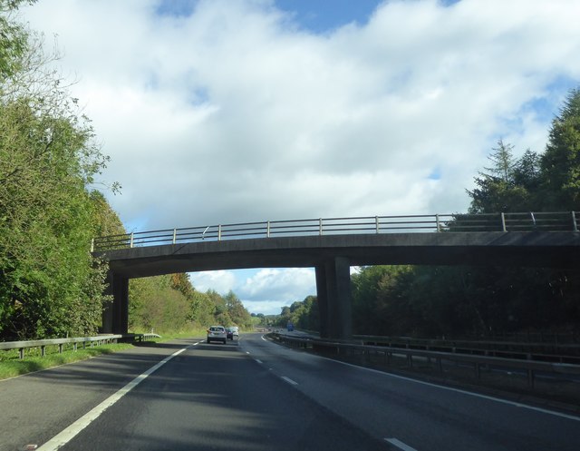
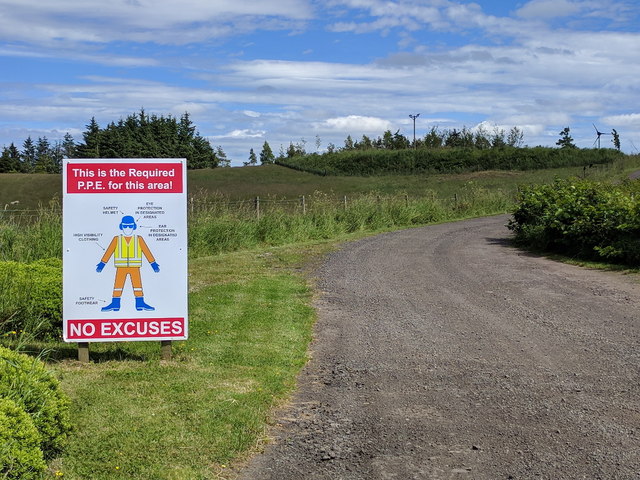
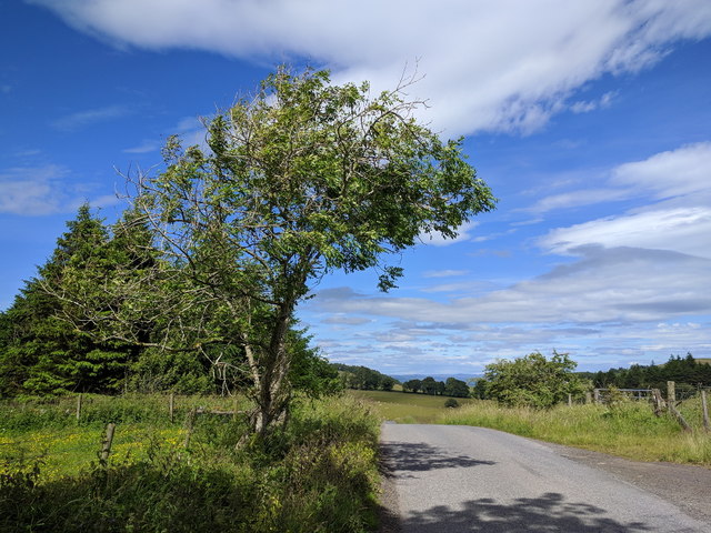
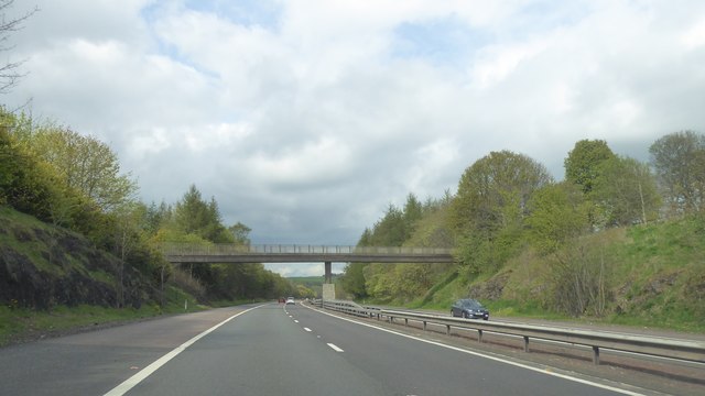
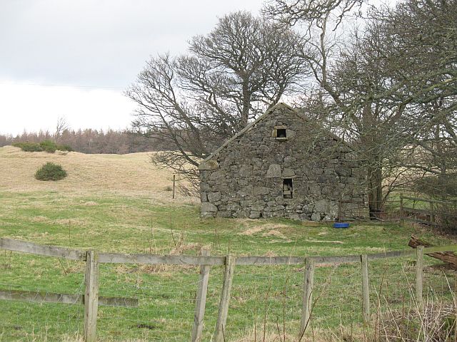
Sam's Wood Images
Images are sourced within 2km of 56.292906/-3.3964118 or Grid Reference NO1312. Thanks to Geograph Open Source API. All images are credited.
Sam's Wood is located at Grid Ref: NO1312 (Lat: 56.292906, Lng: -3.3964118)
Unitary Authority: Perth and Kinross
Police Authority: Tayside
What 3 Words
///excavate.arming.menu. Near Bridge of Earn, Perth & Kinross
Nearby Locations
Related Wikis

Glenfarg railway station
Glenfarg railway station served the village of Glenfarg, Perth and Kinross, Scotland, from 1890 to 1964, on the Glenfarg Line. == History == The station...

Glenfarg
Glenfarg (Scottish Gaelic: Gleann Fairg) is a village in the Ochil Hills in Perth and Kinross, Scotland. Until 14 June 1964, the village had a railway...
Abbots Deuglie
Abbots Deuglie () is a hamlet in Perth and Kinross, Scotland. It is located in the Ochil Hills, in Arngask parish, about one mile (1.5 km) west of Glenfarg...

Bein Inn
The Bein Inn (commonly known as the Famous Bein Inn) is an historic building in Glenfarg, Perth and Kinross, Scotland. A "noted hostelry," according to...

Duncrievie
Duncrievie () is a village in Perth and Kinross, Scotland. It lies approximately 6 miles (10 kilometres) north of Kinross, to the west of the M90 motorway...

Balvaird Castle
Balvaird Castle in Perthshire is a traditional late medieval Scottish tower house. It is located in the Ochil Hills, around 5 kilometres (3.1 mi) south...

Aberargie
Aberargie (Scottish Gaelic: Obar Fhargaidh) is a village in the south eastern region of Perth and Kinross. It lies on the western edge of the old Abernethy...

Kinross-shire
The County of Kinross or Kinross-shire is a historic county and registration county in eastern Scotland, administered as part of Perth and Kinross since...
Nearby Amenities
Located within 500m of 56.292906,-3.3964118Have you been to Sam's Wood?
Leave your review of Sam's Wood below (or comments, questions and feedback).