Woodside
Wood, Forest in Morayshire
Scotland
Woodside

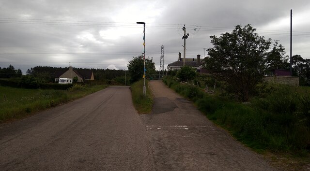
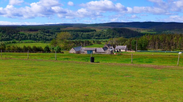
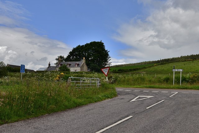
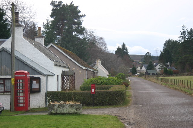
Woodside is a quaint village located in the historic county of Morayshire, Scotland. Situated in the northeast region of the country, Woodside derives its name from its abundant woodland and lush forest surroundings. The village is nestled amidst rolling hills and picturesque countryside, offering residents and visitors alike a serene and idyllic setting.
Woodside boasts a small but close-knit community, with a population of approximately 500 residents. The village is renowned for its charming residential properties, many of which are traditional stone-built cottages that exude a rustic charm. The community is known for its warm and welcoming atmosphere, with locals often engaging in various social activities and events.
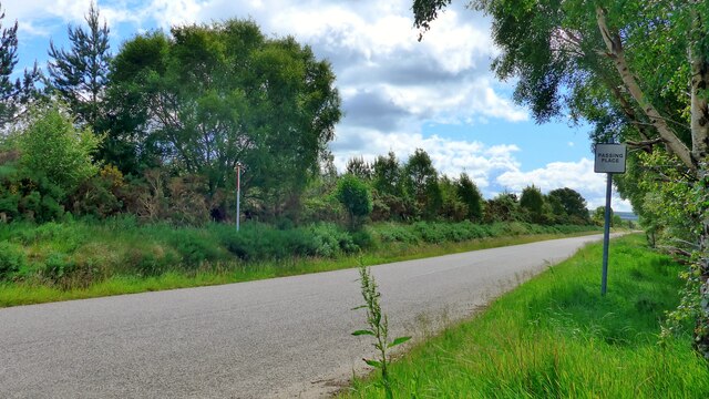
Nature lovers will find Woodside to be a paradise, as the village is surrounded by enchanting woodlands, perfect for leisurely walks and exploring. The nearby forests offer a plethora of wildlife to observe, including deer, squirrels, and a variety of bird species. Additionally, the area is home to several walking and cycling trails, providing outdoor enthusiasts with ample opportunities to immerse themselves in the beauty of the Scottish countryside.
Despite its peaceful rural setting, Woodside benefits from its proximity to larger towns and cities. The nearby town of Elgin is just a short drive away, offering a range of amenities such as shops, restaurants, and leisure facilities. Furthermore, the stunning coastline of the Moray Firth is within easy reach, offering breathtaking views and opportunities for water-based activities.
In summary, Woodside is a charming village in Morayshire, Scotland, renowned for its woodland surroundings and close-knit community. With its idyllic setting and access to nearby amenities, the village offers a tranquil and picturesque lifestyle for its residents.
If you have any feedback on the listing, please let us know in the comments section below.
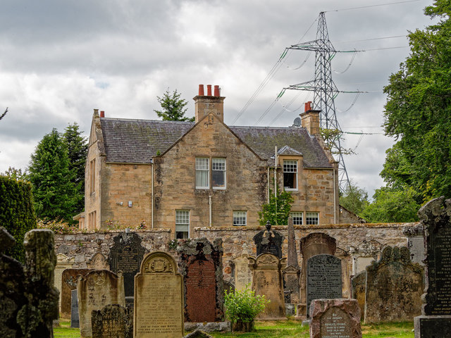
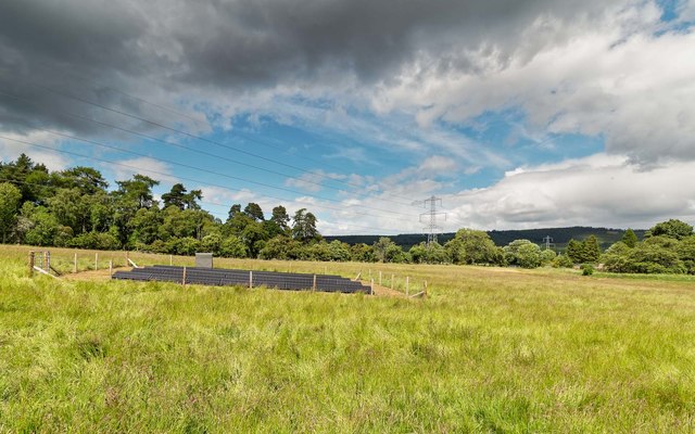
Woodside Images
Images are sourced within 2km of 57.549614/-3.4541386 or Grid Reference NJ1351. Thanks to Geograph Open Source API. All images are credited.


Woodside is located at Grid Ref: NJ1351 (Lat: 57.549614, Lng: -3.4541386)
Unitary Authority: Moray
Police Authority: North East
What 3 Words
///evolution.figs.dries. Near Kinloss, Moray
Nearby Locations
Related Wikis

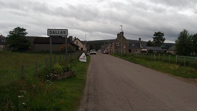
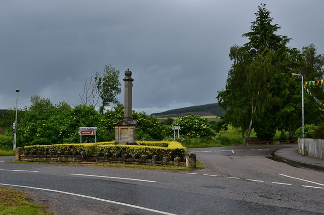
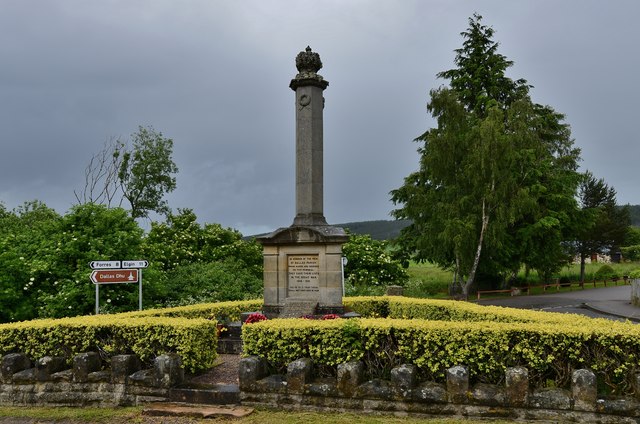
Dallas, Moray
Dallas (Scottish Gaelic: Dalais [ˈt̪al̪ˠɪʃ]) is a small rural village in Moray, Scotland. It is located 12 miles (19 km) south west of Elgin just off the...
Kellas, Moray
Kellas (Scottish Gaelic: Ceallais) is a village in Moray, Scotland. It is approximately 3 miles (5 km) northeast of Dallas on the B9010 road. The Kellas...

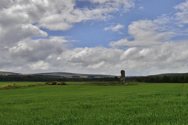
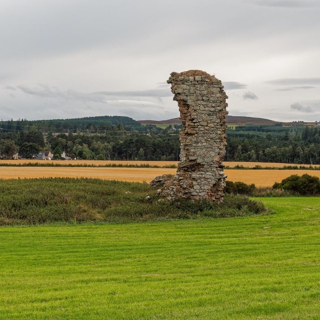
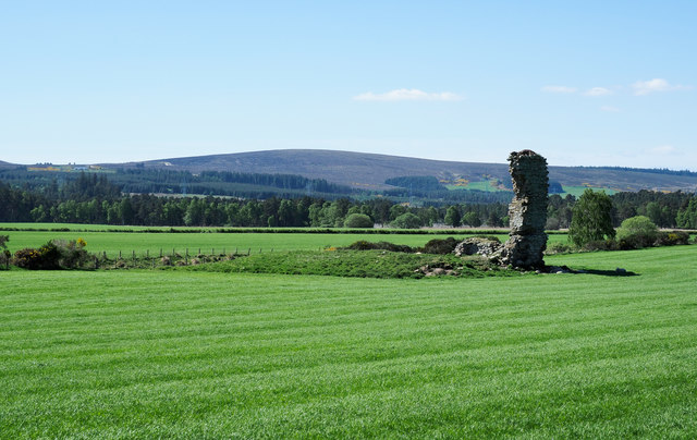
Blervie Castle
Blervie Castle is a ruined 16th-century Z-plan tower house, about 2.5 miles (4.0 km) south-east of Forres, Moray, Scotland, and about 1 mile (1.6 km) north...

Asliesk Castle
Asliesk Castle is a ruined 16th-century castle about 7 miles (11 km) west of Elgin, Moray, Scotland, near Alves and Monoughty Woods at Asliesk. == History... ==
Nearby Amenities
Located within 500m of 57.549614,-3.4541386Have you been to Woodside?
Leave your review of Woodside below (or comments, questions and feedback).