Bennetlaw Plantation
Wood, Forest in Dumfriesshire
Scotland
Bennetlaw Plantation
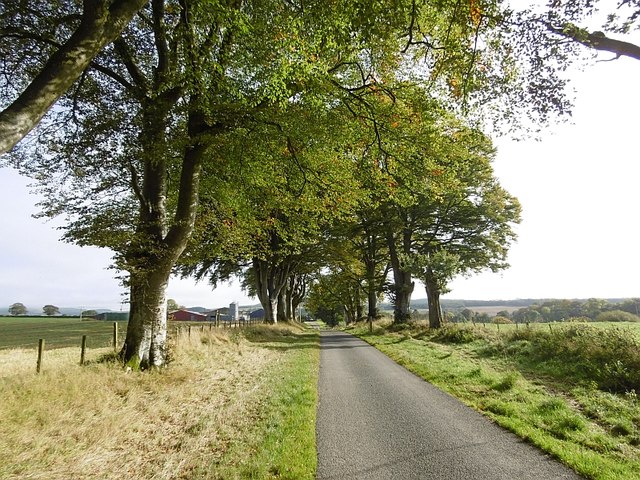
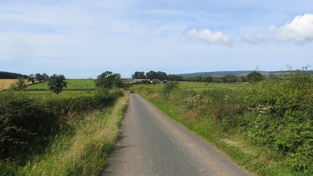
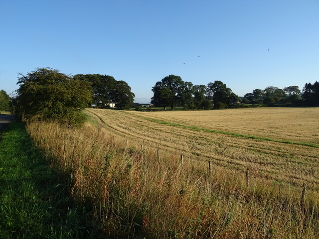
Bennetlaw Plantation is a picturesque woodland located in Dumfriesshire, Scotland. Spread across a vast area, the plantation is renowned for its diverse collection of trees, making it an ideal destination for nature enthusiasts and hikers alike. The plantation is nestled within the rolling hills of Dumfriesshire, offering visitors breathtaking views of the surrounding countryside.
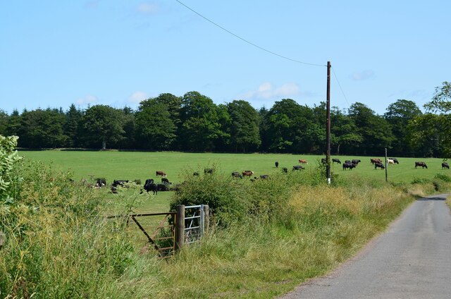
The woodland is characterized by a rich variety of tree species, including oak, beech, birch, and pine, creating a vibrant and colorful landscape throughout the year. This diverse ecosystem supports a wide range of flora and fauna, making it a haven for wildlife. Visitors to the plantation can expect to encounter various species of birds, small mammals, and even red squirrels.
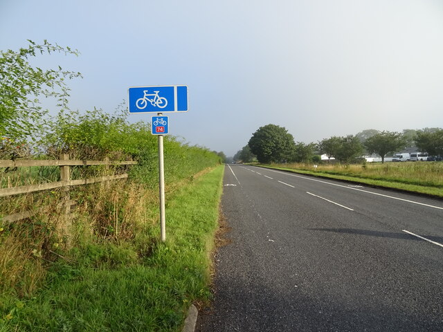
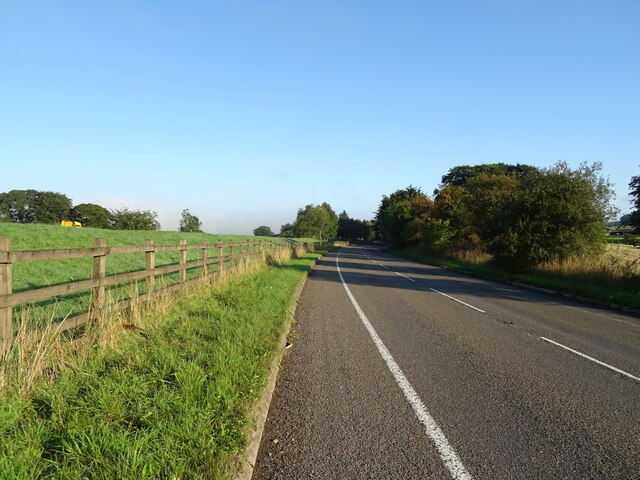
Bennetlaw Plantation offers a network of well-maintained trails that wind through the woodland, providing visitors with the opportunity to explore its natural beauty. These trails cater to both casual walkers and more experienced hikers, with options for short, leisurely strolls or longer, more challenging routes.
The plantation also features several picnic areas, allowing visitors to pause and enjoy a meal amidst the tranquility of nature. Additionally, there are designated areas for camping, providing a unique opportunity to immerse oneself in the woodland overnight.
Overall, Bennetlaw Plantation offers a serene and picturesque escape from the bustling city life, providing a chance to connect with nature and appreciate the beauty of Dumfriesshire's woodlands.
If you have any feedback on the listing, please let us know in the comments section below.
Bennetlaw Plantation Images
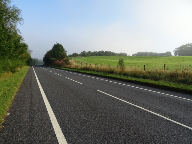
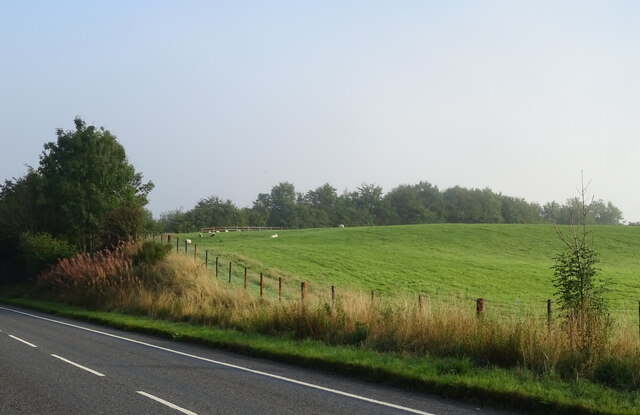
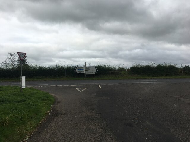
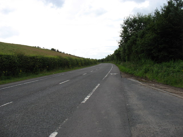
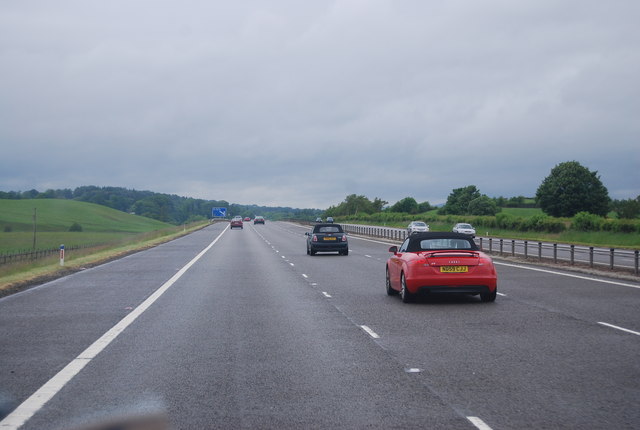
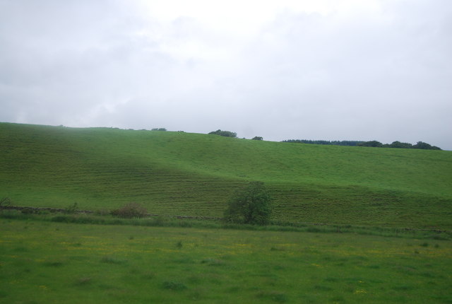
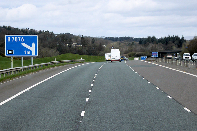
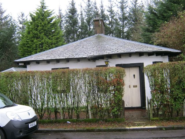
Images are sourced within 2km of 55.18992/-3.429298 or Grid Reference NY0989. Thanks to Geograph Open Source API. All images are credited.


Bennetlaw Plantation is located at Grid Ref: NY0989 (Lat: 55.18992, Lng: -3.429298)
Unitary Authority: Dumfries and Galloway
Police Authority: Dumfries and Galloway
What 3 Words
///diverting.markets.runways. Near Johnstonebridge, Dumfries & Galloway
Nearby Locations
Related Wikis
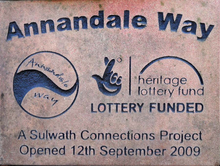
Annandale Way
The Annandale Way is a 90-kilometre (56 mi) hiking trail in Scotland, which is officially designated by NatureScot as one of Scotland's Great Trails. It...

Dinwoodie railway station
Dinwoodie railway station was a station which served the rural area around the settlement of Dinwoodie, 6 miles north of Lockerbie in Applegarth parish...

Corncockle Quarry
Corncockle Quarry was a large and historically important sandstone quarry near Templand in Dumfries and Galloway, Scotland. Stone from here was used in...
Johnstonebridge
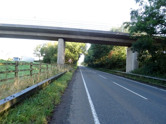
Johnstonebridge is a village in Dumfries and Galloway, Scotland.It is roughly halfway between Moffat and Lockerbie, and lies on the A74(M) motorway. The...
Nearby Amenities
Located within 500m of 55.18992,-3.429298Have you been to Bennetlaw Plantation?
Leave your review of Bennetlaw Plantation below (or comments, questions and feedback).