Jock's Pool

Lake, Pool, Pond, Freshwater Marsh in Dumfriesshire

Scotland

Jock's Pool

Tree lined road, Kirkbank One of many tree lined roads in Annandale.
Tree lined road, Kirkbank Credit: Richard Webb

Jock's Pool is a picturesque freshwater marsh located in Dumfriesshire, Scotland. Spanning an area of approximately 10 acres, it is surrounded by serene countryside and offers a tranquil escape for nature enthusiasts. The pool is situated within a larger nature reserve, providing a diverse habitat for various flora and fauna.

The pool itself is characterized by its still, crystal-clear waters, which are fed by a small stream originating from nearby hills. Its depth varies, with the deepest parts reaching up to 6 feet. The pool is lined with lush vegetation, including reeds, rushes, and water lilies, which provide both shelter and food for a wide range of wildlife.

Jock's Pool is home to an abundance of aquatic life. Visitors can spot a variety of fish species, such as pike, roach, and perch, swimming gracefully beneath the water's surface. The pool also attracts a variety of bird species, including herons, moorhens, and mallards, which can often be seen wading or floating in the pool's shallows.

Surrounding the pool is a network of walking trails and observation points, allowing visitors to explore the marshland and observe the wildlife from a safe distance. The tranquil atmosphere and picturesque surroundings make Jock's Pool a popular spot for birdwatching, photography, and nature walks.

In addition to its natural beauty, Jock's Pool also serves as an important breeding ground and sanctuary for various species of waterfowl, making it a significant site for conservation efforts. The pool's importance in supporting local biodiversity has led to its designation as a protected area, ensuring its preservation for future generations to enjoy.

If you have any feedback on the listing, please let us know in the comments section below.
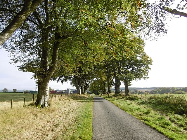
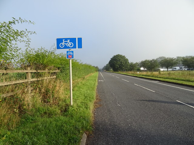
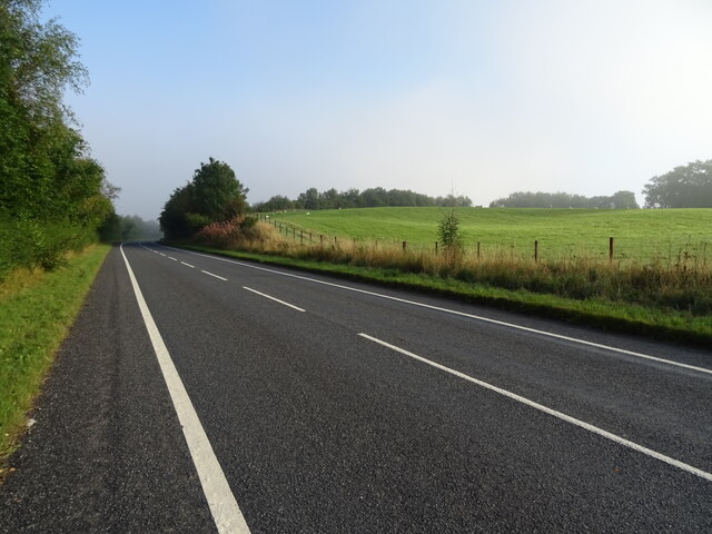
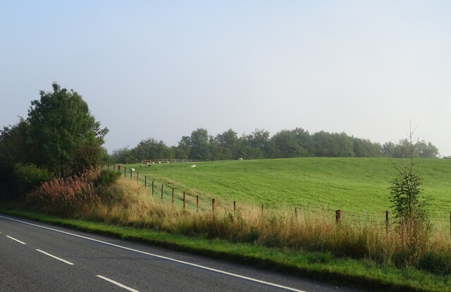
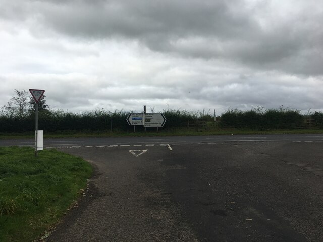
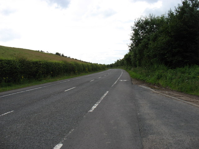
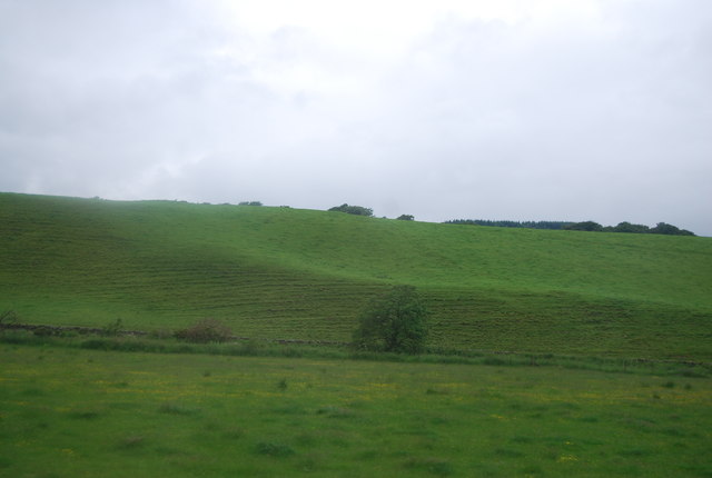
Jock's Pool Images

Images are sourced within 2km of 55.191305/-3.4230641 or Grid Reference NY0989. Thanks to Geograph Open Source API. All images are credited.

Tree lined road, Kirkbank One of many tree lined roads in Annandale.
Tree lined road, Kirkbank
One of many tree lined roads in Annandale.
Field, Greenbeck Annandale grassland.
Field, Greenbeck
Annandale grassland.
Greenbeck Grass fields in Annandale. View from the B7020.
Greenbeck
Grass fields in Annandale. View from the B7020.
B7020 Passing Chapel Wood.
B7020
Passing Chapel Wood.
National Cycle Route 74 Heading north on the B7076 towards Johnstonebridge.
Runs parallel to the A74(M) at this point.
National Cycle Route 74
Heading north on the B7076 towards Johnstonebridge. Runs parallel to the A74(M) at this point.
B7076 towards Johnstonebridge Heading north parallel to the A74(M).
B7076 towards Johnstonebridge
Heading north parallel to the A74(M).
Grazing, Dinwoodie Beside the B7076.
Grazing, Dinwoodie
Beside the B7076.
Field entrance off the B7076 Grassland looking towards the A74(M).
Field entrance off the B7076
Grassland looking towards the A74(M).
B7076 towards Johnstonebridge
Road junction with the B7076
The B7076 (former A74), heading south
Long straight section of the A74(M) The A74(M) & M74  run over 80 miles from the M6 at the Scottish border near Gretna to the M8 at Glasgow. This is one of the two most important routeways into Scotland from the south. The last stretch of the M74 opened in 2011 (see <a title="https://www.geograph.org.uk/snippet/590" href="https://www.geograph.org.uk/snippet/590">Link</a> ).
Wikipedia: <span class="nowrap"><a title="http://en.wikipedia.org/wiki/A74(M)_and_M74_motorways" rel="nofollow ugc noopener" href="http://en.wikipedia.org/wiki/A74(M)_and_M74_motorways">Link</a><img style="margin-left:2px;" alt="External link" title="External link - shift click to open in new window" src="https://s1.geograph.org.uk/img/external.png" width="10" height="10"/></span>
Long straight section of the A74(M)
The A74(M) & M74 run over 80 miles from the M6 at the Scottish border near Gretna to the M8 at Glasgow. This is one of the two most important routeways into Scotland from the south. The last stretch of the M74 opened in 2011 (see Link ). Wikipedia: LinkExternal link
Grassland by the A74(M)
Site of Dinwoodie station, 1991 View northward, towards Beattock, Carstairs and Glasgow etc.: ex-Caledonian Railway section of the WCML up Annandale. The station was closed 13/6/60 to facilitate acceleration of express trains and the route was electrified in 1974.
Site of Dinwoodie station, 1991
View northward, towards Beattock, Carstairs and Glasgow etc.: ex-Caledonian Railway section of the WCML up Annandale. The station was closed 13/6/60 to facilitate acceleration of express trains and the route was electrified in 1974.
Johnstonebridge Parish Church Category B-listed. Built 1733, enlarged 1819 and with further alterations and additions in 1881.
Johnstonebridge Parish Church
Category B-listed. Built 1733, enlarged 1819 and with further alterations and additions in 1881.
Northbound A74(M) near to Dinwoodie Mains The A74(M) and M74 form a major motorway which runs for over 80 miles in Scotland. Following an extension opened on 28 June 2011, it connects the M8 motorway west of Glasgow to the English border at Gretna,where it becomes the M6. In conjunction with the M6, it forms one of the two major cross-border routes between Scotland and England. As the motorway is one continuous route and has a continuous junction numbering system, the entire route is often erroneously referred to as M74 although, the section south of Abington (more than half its length) is officially the A74(M).

More information :
<span class="nowrap"><a title="http://www.sabre-roads.org.uk/wiki/index.php?title=M74/A74(M)" rel="nofollow ugc noopener" href="http://www.sabre-roads.org.uk/wiki/index.php?title=M74/A74(M)">Link</a><img style="margin-left:2px;" alt="External link" title="External link - shift click to open in new window" src="https://s1.geograph.org.uk/img/external.png" width="10" height="10"/></span>  SABRE Wiki
<span class="nowrap"><a title="http://en.wikipedia.org/wiki/A74(M)_and_M74_motorways" rel="nofollow ugc noopener" href="http://en.wikipedia.org/wiki/A74(M)_and_M74_motorways">Link</a><img style="margin-left:2px;" alt="External link" title="External link - shift click to open in new window" src="https://s1.geograph.org.uk/img/external.png" width="10" height="10"/></span>  Wikipedia
<span class="nowrap"><a title="http://www.cbrd.co.uk/motorway/m74" rel="nofollow ugc noopener" href="http://www.cbrd.co.uk/motorway/m74">Link</a><img style="margin-left:2px;" alt="External link" title="External link - shift click to open in new window" src="https://s1.geograph.org.uk/img/external.png" width="10" height="10"/></span>  cbrd
Northbound A74(M) near to Dinwoodie Mains
The A74(M) and M74 form a major motorway which runs for over 80 miles in Scotland. Following an extension opened on 28 June 2011, it connects the M8 motorway west of Glasgow to the English border at Gretna,where it becomes the M6. In conjunction with the M6, it forms one of the two major cross-border routes between Scotland and England. As the motorway is one continuous route and has a continuous junction numbering system, the entire route is often erroneously referred to as M74 although, the section south of Abington (more than half its length) is officially the A74(M). More information : LinkExternal link SABRE Wiki LinkExternal link Wikipedia LinkExternal link cbrd
Former tollhouse Surveyed by the Milestone Society.  This photograph was taken in 2011 before the hedges had grown and obscured the building.  In 2018 a dog grooming business was being conducted at the property.
Former tollhouse
Surveyed by the Milestone Society. This photograph was taken in 2011 before the hedges had grown and obscured the building. In 2018 a dog grooming business was being conducted at the property.
Stubble field, Dinwoodie Green
Show me another place!

Jock's Pool is located at Grid Ref: NY0989 (Lat: 55.191305, Lng: -3.4230641)

Unitary Authority: Dumfries and Galloway

Police Authority: Dumfries and Galloway

What 3 Words

///milkman.flitting.buffoon. Near Johnstonebridge, Dumfries & Galloway

Related Wikis

Dinwoodie railway station

Dinwoodie railway station was a station which served the rural area around the settlement of Dinwoodie, 6 miles north of Lockerbie in Applegarth parish...
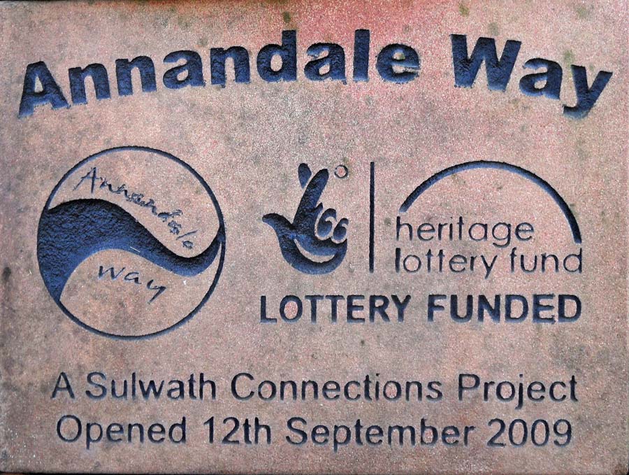
Annandale Way

The Annandale Way is a 90-kilometre (56 mi) hiking trail in Scotland, which is officially designated by NatureScot as one of Scotland's Great Trails. It...

Corncockle Quarry

Corncockle Quarry was a large and historically important sandstone quarry near Templand in Dumfries and Galloway, Scotland. Stone from here was used in...

Johnstonebridge

Johnstonebridge is a village in Dumfries and Galloway, Scotland.It is roughly halfway between Moffat and Lockerbie, and lies on the A74(M) motorway. The...

Nearby Amenities

Located within 500m of 55.191305,-3.4230641
Panlands
Place: hamlet
Lat/Long: 55.1929454/-3.4292363
Power: pole
Lat/Long: 55.1917092/-3.4267638
Power: pole
Lat/Long: 55.1916195/-3.4281806
Power: pole
Lat/Long: 55.1915695/-3.4297082
Power: pole
Lat/Long: 55.1905476/-3.4255145
Power: pole
Lat/Long: 55.1905461/-3.4262486
Power: pole
Lat/Long: 55.1905476/-3.4269261
Power: pole
Lat/Long: 55.1871036/-3.4219339
Power: pole
Lat/Long: 55.1879756/-3.4228303
Power: pole
Lat/Long: 55.1888418/-3.4237216
Power: pole
Lat/Long: 55.1896976/-3.4246438
Power: pole
Lat/Long: 55.1922136/-3.4273949
Power: pole
Lat/Long: 55.19269/-3.4280698
Power: pole
Lat/Long: 55.1928812/-3.4282527
Power: pole
Lat/Long: 55.1926547/-3.4285387
Power: pole
Lat/Long: 55.1908167/-3.4156808
Power: pole
Lat/Long: 55.1916989/-3.4165643
Power: pole
Lat/Long: 55.1926077/-3.417484
Power: pole
Lat/Long: 55.193512/-3.4183881
Power: pole
Lat/Long: 55.1943265/-3.4191764
Power: pole
Lat/Long: 55.1951205/-3.4200007
The data included in this document is from www.openstreetmap.org. The data is made available under ODbL.

Have you been to Jock's Pool?

Leave your review of Jock's Pool below (or comments, questions and feedback).